|
Pappireddipatti
Pappireddipatti is a Town Panchayat of Dharmapuri district in the Indian state of Tamil Nadu and also a revenue Taluk of Dharmapuri district. Pappireddipatti is the business center for villages surrounding it and for the people living in villages of Shevaroy Hills. Geography It is almost surrounded by hills in all directions; mainly Kalrayan Hills in the East and Shevaroy Hills in the west. Vaniyar Dam, one of the big dams in Dharmapuri district is located at 5 km from Pappireddipatti, built in the foothills of Shevaroy Hills across the Vaniyar river a major tributary of Ponnaiyar River. The Dam has a capacity to hold 418 mcft water with a depth of 65 ft and connected to the lakes of Venkatasamuthram, Aalapuram, Onthiampatti, Thenkaraikottai and Parayapatti via channels. There is small park and officer's quarters available near the dam. The dam is scenic and people can reach Yercaud by a long walk through the Shrevarayan forest. The dam receives water from it ... [...More Info...] [...Related Items...] OR: [Wikipedia] [Google] [Baidu] |
Dharmapuri District
Dharmapuri is one of the 38 districts in the state of Tamil-Nadu, India. It is the List of districts in Tamil Nadu, first district created in Tamil Nadu after the independence of India by splitting it from then-Salem district on 2 October 1965. Dharmapuri District is one of the major producers of mango in the state, fine quality granite is found in the district. It is also one of the main sericulture belts in the state. Around 30 percent of the district's area is under forest cover. Kaveri enters Tamil Nadu through this district. Dharmapuri district had the lowest literacy rate of 74.23% in Tamilnadu during the 2011 census. Etymology Dharmapuri was called ''Thagadur'' during the Sangam period, Sangam era. The name Thagadur is derived from two Tamil language, Tamil words, ''Thagadu'' meaning iron ore, and ''ur'' meaning place. The name Thagadur was changed to Dharmapuri after the Sangam period, possibly during the period of the Vijayanagara Empire or the period of the Kingdom of ... [...More Info...] [...Related Items...] OR: [Wikipedia] [Google] [Baidu] |
Bommidi
Bommidi, also known as B. Mallapuram, is a panchayat town located in the Pappireddipatti taluk of Dharmapuri district in the Indian state of Tamil Nadu. The town is commonly referred to as Bommidi in the context of transportation and public services such as the railway station, police station (located in Nadur), post office, and bus services. In contrast, the name B. Mallapuram is typically used in official and administrative contexts, including schools, hospitals, and government records. Geography Bommidi is situated southeast of Dharmapuri. It is in the southern region of the district. Bommidi is close to the Salem district border. It is surrounded by Yercaud Hills, Kavaramalai RF and Mookanur Hills. Transport Bommidi has rail and bus connectivity with Chennai, Salem, Coimbatore, Mangalore, Allepy, Dhanbad, etc. Road Bommidi is situated from the Salem bus stand, en route to Chennai via Jolarpet Junction. A number of buses run from Dharmapuri to Salem via Bommidi. ... [...More Info...] [...Related Items...] OR: [Wikipedia] [Google] [Baidu] |
Thenkaraikottai
Thenkaraikottai is a ruined castle was built by Seelappa Nayakkar and Chennappa Nayakkar of Vijayanagar dynasty. This castle is the only one built on land and not on a hill like others and is situated near Pappireddipatti, Dharmapuri district, Tamil Nadu, India. The Major attraction of the place is the Sri Kalyana Ramaswamy temple which is dedicated to lord Rama (avatar of vishnu) with beautiful architecture is present in centre of the fort. There are few ruined historic buildings which includes Granaries, stables for elephants and horses, cannons, a bathing area for the princes and many more. The fort is about 40 acres. Kalyana Ramaswamy temple Kalyana Ramaswamy temple is the temple present in Thenkaraikottai.This temple was said to be built by Seelappa Nayakkar and Chennappa Nayakkar of Vijayaagar dynasty during 14th century and filled with wonderful architecture and is administered and maintained by the Hindu Religious and Charitable Endowments Department of the Governm ... [...More Info...] [...Related Items...] OR: [Wikipedia] [Google] [Baidu] |
Shevaroy Hills
The Servarayan hills, with the anglicised name Shevaroy Hills, are a towering mountain range (1620 m) near the city of Salem, in Tamil Nadu state, southern India. The local Tamil name comes from a local deity, ''Servarayan''. Geography The Servarayans form part of the southern ranges of the Eastern Ghats System. Shevaroys cover an area of , with plateaus from above sea-level. The main town here is Yercaud. As earlier stated, it also represents the highest peak in southern part of the Eastern Ghats, with the Solaikaradu peak towering to 1620 m above mean sea-level. It is nestled parallel to the lower Chitteri hills - Kalrayan hills, just north of the Kolli Hills and Pachaimalai Hills. Westwards, lie the Mettur hills. This range forms an important link in the southern part of Eastern Ghats hill chain. Features The Servarayan hills have several old coffee plantations, and a sanatorium. The major areas of tourist interest are the Yercaud Orchidarium of the Botanical Survey of ... [...More Info...] [...Related Items...] OR: [Wikipedia] [Google] [Baidu] |
Thai Pongal
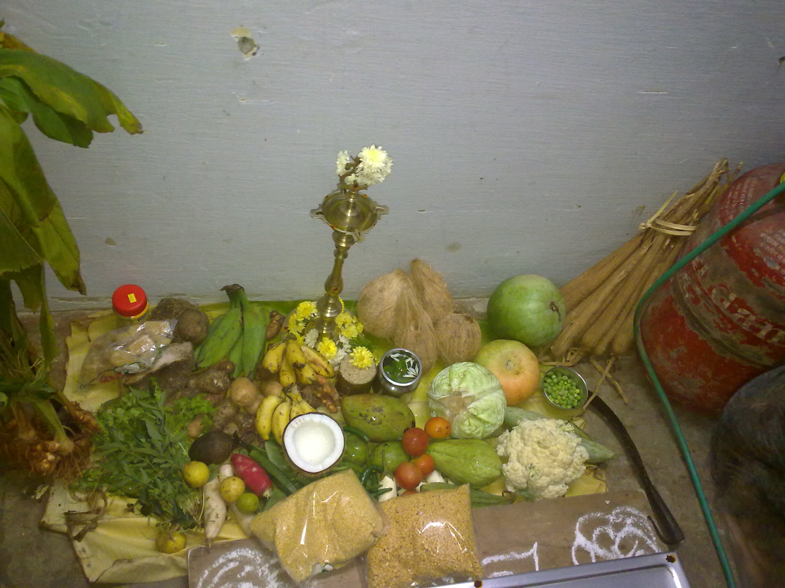
Pongal is a multi-day Hindu harvest festival celebrated by Tamils. The festival is celebrated over three or four days with Bhogi, Thai Pongal, Mattu Pongal and Kaanum Pongal, beginning on the last day of the Tamil calendar month of Margazhi, and observed on consecutive days. Thai Pongal is observed on the first day of the Tamil calendar month of Thai and usually falls on 14 or 15 January in the Gregorian calendar. It is dedicated to the solar deity Surya and corresponds to Makar Sankranti, the Hindu observance celebrated under various regional names across the Indian subcontinent. According to tradition, the festival marks the end of winter solstice, and the start of the Sun's six-month-long journey northwards called Uttarayana when the Sun enters Capricorn. The festival is named after the ceremonial "Pongal", which means "boiling over" or "overflow" in Tamil language and refers to the traditional dish prepared by boiling rice with milk and jaggery. Mattu Pongal is me ... [...More Info...] [...Related Items...] OR: [Wikipedia] [Google] [Baidu] |
Quartz
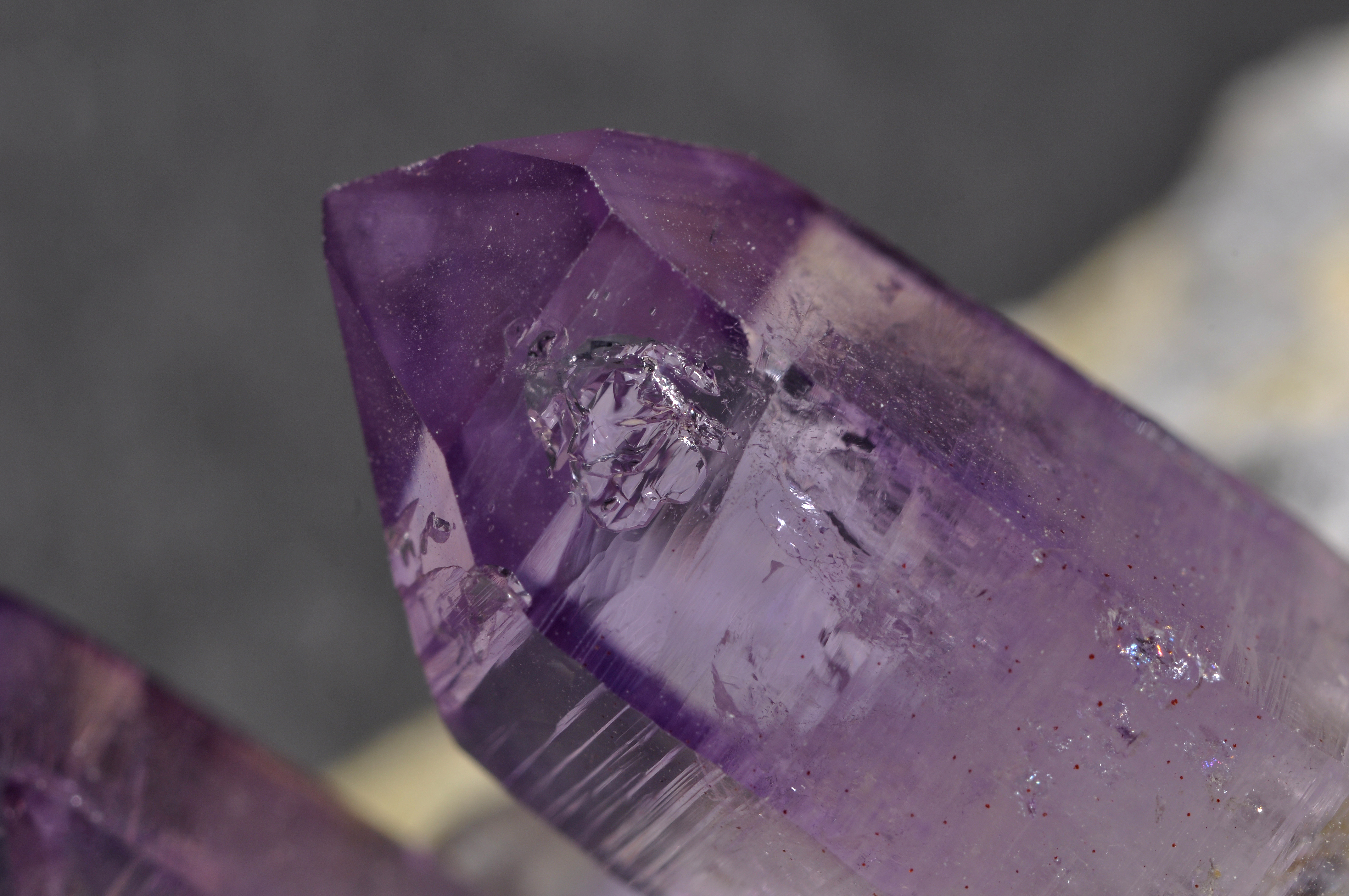
Quartz is a hard, crystalline mineral composed of silica (silicon dioxide). The Atom, atoms are linked in a continuous framework of SiO4 silicon–oxygen Tetrahedral molecular geometry, tetrahedra, with each oxygen being shared between two tetrahedra, giving an overall chemical formula of Silicon dioxide, SiO2. Quartz is, therefore, classified structurally as a Silicate mineral#Tectosilicates, framework silicate mineral and compositionally as an oxide mineral. Quartz is the second most abundant mineral in Earth's continental crust, behind feldspar. Quartz exists in two forms, the normal α-quartz and the high-temperature β-quartz, both of which are chiral. The transformation from α-quartz to β-quartz takes place abruptly at . Since the transformation is accompanied by a significant change in volume, it can easily induce microfracturing of ceramics or rocks passing through this temperature threshold. There are many different varieties of quartz, several of which are classifi ... [...More Info...] [...Related Items...] OR: [Wikipedia] [Google] [Baidu] |
Crystal
A crystal or crystalline solid is a solid material whose constituents (such as atoms, molecules, or ions) are arranged in a highly ordered microscopic structure, forming a crystal lattice that extends in all directions. In addition, macroscopic single crystals are usually identifiable by their geometrical shape, consisting of flat faces with specific, characteristic orientations. The scientific study of crystals and crystal formation is known as crystallography. The process of crystal formation via mechanisms of crystal growth is called crystallization or solidification. The word ''crystal'' derives from the Ancient Greek word (), meaning both "ice" and " rock crystal", from (), "icy cold, frost". Examples of large crystals include snowflakes, diamonds, and table salt. Most inorganic solids are not crystals but polycrystals, i.e. many microscopic crystals fused together into a single solid. Polycrystals include most metals, rocks, ceramics, and ice. A third cat ... [...More Info...] [...Related Items...] OR: [Wikipedia] [Google] [Baidu] |
Chitteri
The Chitteri Hills, also known as Sitheri Hills, are one of the segments of the Eastern Ghats mountain range of Tamil Nadu, India. The hills form a compact block consisting of several hill ranges, and contain tangled ridges and ravines running in the northeast and southwest directions, enclosing many narrow valleys (rivers), viz. Kallar, Varattar, Kambalai and Anaimaduvu. They are spread over an area of 654.52 km2 within the geographical limit of 78°15’−78°45’E longitude and 11°44’−12°08’N latitude. Topographically, the area is undulating with an altitude varying from 240 to 1266 m. The rocks on Chitteri hills are chiefly gneisses/granitic in composition. Soil is generally shallow and reddish-loam, varying in fertility and often mixed with gravel and boulders. Black soils are seldom found in the forests. The minimum and maximum temperature of the area is 19 °C (in winter) and 40 °C (in summer) respectively. The annual rainfall varies from 620 to ... [...More Info...] [...Related Items...] OR: [Wikipedia] [Google] [Baidu] |
Monsoon
A monsoon () is traditionally a seasonal reversing wind accompanied by corresponding changes in precipitation but is now used to describe seasonal changes in Atmosphere of Earth, atmospheric circulation and precipitation associated with annual latitudinal oscillation of the Intertropical Convergence Zone (ITCZ) between its limits to the north and south of the equator. Usually, the term monsoon is used to refer to the Wet season, rainy phase of a seasonally changing pattern, although technically there is also a dry phase. The term is also sometimes used to describe locally heavy but short-term rains. The major monsoon systems of the world consist of the Monsoon#Africa (West African and Southeast African), West African, Asian–Australian monsoon, Australian, the North American monsoon, North American, and South American monsoons. The term was first Glossary of the British Raj, used in English in British India and neighboring countries to refer to the big seasonal winds blowin ... [...More Info...] [...Related Items...] OR: [Wikipedia] [Google] [Baidu] |
Yercaud
Yercaud, also spelt Erkad, is a town and hill station in Salem District in Tamil Nadu, India. Located in Servarayan Hills in the Eastern Ghats, it is situated at an altitude of . History Stone-age implements have been found near an ancient shrine located in the Servarayan Hills, about 5 km from the Yercaud lake. In the 1820s, M. D. Cockburn, the collector of Salem district facilitated the establishment of coffee plantations and citrus fruit saplings imported from South Africa. It was later discovered by Thomas Munro, the Governor of Madras Presidency in 1842 and popularized as a recreation retreat. Geography It is located in the Shevaroy hills in the Eastern Ghats. The total extent of Yercaud taluk is including reserve forests. It is situated at an altitude of above sea level, and the highest point in Yercaud is the Servarayan temple, at . Climate Demographics As per the 2011 census, Yercaud has population of 11,582. The sex ratio was 974 against the sta ... [...More Info...] [...Related Items...] OR: [Wikipedia] [Google] [Baidu] |


