|
Panaon Island
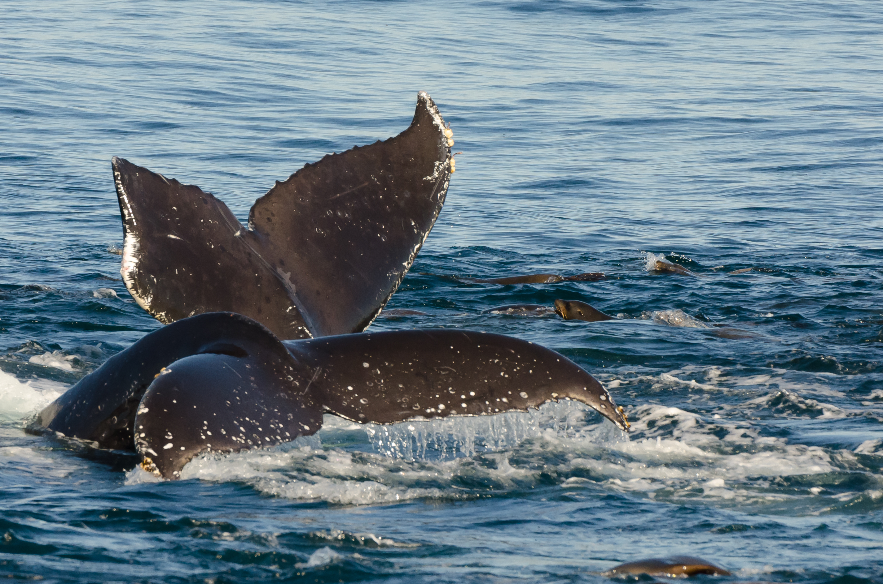
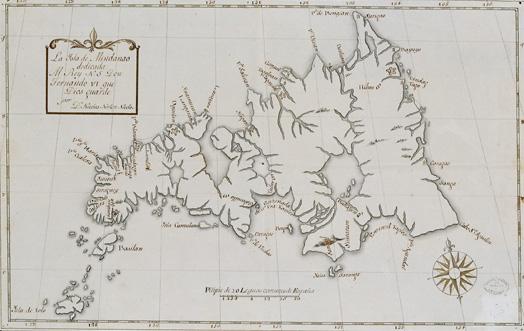
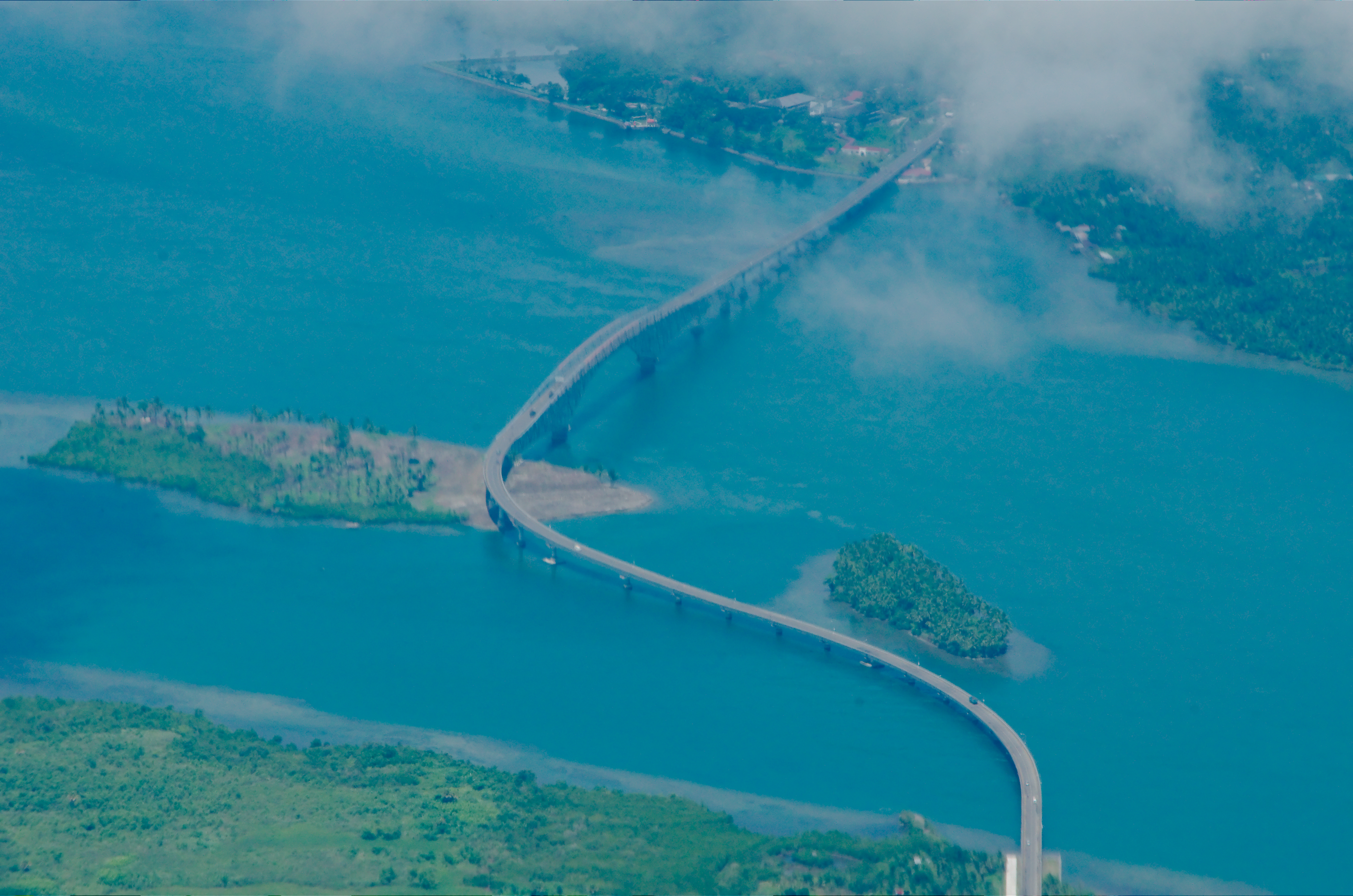
Panaon Island is a small island in the Philippines, in the province of Southern Leyte. It lies south of Leyte, separated from Dinagat to the east, and Mindanao to the southeast by Surigao Strait. The Mindanao Sea lies to the southwest. Panaon is about long from north to south. The largest town is Liloan, which is connected by a bridge called the ''Wawa Bridge'' to the main Leyte Island. Panaon Island is composed of the municipalities of Liloan, San Francisco, Pintuyan and San Ricardo. The basic forms of living are harvesting coconut, rice, fish and edible green leaves. Scuba diving and whale watching (referred to locally as ''Tikitiki'') are popular tourist activities. External links Panaon Islandat OpenStreetMap OpenStreetMap (abbreviated OSM) is a free, Open Database License, open geographic database, map database updated and maintained by a community of volunteers via open collaboration. Contributors collect data from surveying, surveys, trace from Ae ... ... [...More Info...] [...Related Items...] OR: [Wikipedia] [Google] [Baidu] |
Leyte
Leyte ( ) is an island in the Visayas group of islands in the Philippines. It is eighth-largest and sixth-most populous island in the Philippines, with a total population of 2,626,970 as of 2020 census. Since the accessibility of land has been depleted, Leyte has provided countless number of migrants to Mindanao. Most inhabitants are farmers. Fishing is a supplementary activity. Rice and corn (maize) are the main food crops; cash crops include coconuts, abaca, tobacco, bananas, and sugarcane. There are some manganese deposits, and sandstone and limestone are quarried in the northwest. Politically, the island is divided into two provinces: (Northern) Leyte and Southern Leyte. Territorially, Southern Leyte includes the island of Panaon to its south. To the north of Leyte is the island province of Biliran, a former sub-province of Leyte. The major cities of Leyte are Tacloban, on the eastern shore at the northwest corner of Leyte Gulf, and Ormoc, on the west coast. Leyte tod ... [...More Info...] [...Related Items...] OR: [Wikipedia] [Google] [Baidu] |
Whale Watching
Whale watching is the practice of observing whales and dolphins (cetaceans) in their natural habitat. Whale watching is mostly a recreational activity (cf. birdwatching), but it can also serve scientific and/or educational purposes.Hoyt, E. 2009. Whale watching. In Encyclopedia of Marine Mammals, 2nd Edition (Perrin, W.F., B. Würsig and J.G.M. Thewissen, eds.) Academic Press, San Diego, CA., pp1219-1223. A study prepared for International Fund for Animal Welfare in 2009 estimated that 13 million people went whale watching globally in 2008. Whale watching generates $2.1 billion per annum in tourism revenue worldwide, employing around 13,000 workers.O’Connor, S., Campbell, R., Cortez, H., & Knowles, T., 2009, Whale Watching Worldwide: tourism numbers, expenditures and expanding economic benefits, a special report from the International Fund for Animal Welfare, Yarmouth MA, US, prepared by Economists at Large. http://www.ecolarge.com/work/whale-watching-worldwide/ The size a ... [...More Info...] [...Related Items...] OR: [Wikipedia] [Google] [Baidu] |
Scuba Diving
Scuba diving is a Diving mode, mode of underwater diving whereby divers use Scuba set, breathing equipment that is completely independent of a surface breathing gas supply, and therefore has a limited but variable endurance. The word ''scuba'' is an Acronym#Normal case and acronyms, acronym for "Self-Contained Underwater Breathing Apparatus" and was coined by Christian J. Lambertsen in a patent submitted in 1952. Scuba divers carry their own source of breathing gas, affording them greater independence and movement than surface-supplied divers, and more time underwater than freedivers. Although the use of compressed air is common, other gas blends are also used. Open-circuit scuba systems discharge the breathing gas into the environment as it is exhaled and consist of one or more diving cylinders containing breathing gas at high pressure which is supplied to the diver at ambient pressure through a diving regulator. They may include additional cylinders for range extension, de ... [...More Info...] [...Related Items...] OR: [Wikipedia] [Google] [Baidu] |
Panaon Island OSM , a municipality on the island of Mindanao, Philippines
{{Disambig ...
Panaon can refer to * Panaon Island, an island of the Philippines in the province of Southern Leyte * Panaon, Misamis Occidental Panaon, officially the Municipality of Panaon (; ), is a municipality in the province of Misamis Occidental, Philippines. According to the 2020 census, it has a population of 10,797 people. Geography Barangays Panaon is politically subdivided in ... [...More Info...] [...Related Items...] OR: [Wikipedia] [Google] [Baidu] |
Mindanao Sea
The Bohol Sea, also called the Mindanao Sea, is a sea located between the Visayas and Mindanao islands in the Philippines. It lies south of Bohol and Leyte and north of Mindanao. Siquijor and Camiguin are its two major islands. The major cities along the coastline of the sea are Cagayan de Oro, Iligan, Butuan, Dumaguete, Ozamiz and Tagbilaran. The sea connects to the Philippine Sea through the Surigao Strait, to the Camotes Sea both through the Canigao Channel and Cebu Strait, and to the Sulu Sea through the strait between Negros Island and Zamboanga Peninsula. Scuba diving The Bohol Sea is home to a large variety of premier scuba diving locations, dive charter boats, and hotels that cater to divers. Around the area of Tagbilaran and Balicasag Island there are numerous wall dives that range from . Water temperatures are very warm and most divers use a 3/2 short wetsuit to dive the location. Sea life is abundant and includes clownfish, lionfish, barracuda, dolphins, h ... [...More Info...] [...Related Items...] OR: [Wikipedia] [Google] [Baidu] |
Mindanao
Mindanao ( ) is the List of islands of the Philippines, second-largest island in the Philippines, after Luzon, and List of islands by population, seventh-most populous island in the world. Located in the southern region of the archipelago, the island is part of an island group of the same name that also includes its adjacent islands, notably the Sulu Archipelago. According to the 2020 census, Mindanao had a population of 26,252,442, while the entire island group had an estimated population of 27,021,036. Mindanao is divided into six administrative regions: the Zamboanga Peninsula, Northern Mindanao, the Caraga region, the Davao Region, Davao region, Soccsksargen, and the autonomous region of Bangsamoro. According to the 2020 census, Davao City is the most populous city on the island, with 1,776,949 people, followed by Zamboanga City (pop. 977,234), Cagayan de Oro (pop. 728,402), General Santos (pop. 697,315), Butuan (pop. 372,910), Iligan (pop. 363,115) and Cotabato City (pop. ... [...More Info...] [...Related Items...] OR: [Wikipedia] [Google] [Baidu] |
Dinagat Island
Dinagat Island is an island located northeast of Mindanao in the Philippines. Until December 2006, it was part of the province of Surigao del Norte. Being its main island, almost all municipalities of the province of Dinagat Islands are located on it. External links * Islands of Dinagat Islands {{Caraga-geo-stub ... [...More Info...] [...Related Items...] OR: [Wikipedia] [Google] [Baidu] |
Leyte (island)
Leyte ( ) is an island in the Visayas group of islands in the Philippines. It is eighth-largest and sixth-most populous island in the Philippines, with a total population of 2,626,970 as of 2020 census. Since the accessibility of land has been depleted, Leyte has provided countless number of migrants to Mindanao. Most inhabitants are farmers. Fishing is a supplementary activity. Rice and corn (maize) are the main food crops; cash crops include coconuts, abaca, tobacco, bananas, and sugarcane. There are some manganese deposits, and sandstone and limestone are quarried in the northwest. Politically, the island is divided into two provinces: (Northern) Leyte and Southern Leyte. Territorially, Southern Leyte includes the island of Panaon to its south. To the north of Leyte is the island province of Biliran, a former sub-province of Leyte. The major cities of Leyte are Tacloban, on the eastern shore at the northwest corner of Leyte Gulf, and Ormoc, on the west coast. Leyte tod ... [...More Info...] [...Related Items...] OR: [Wikipedia] [Google] [Baidu] |
Provinces Of The Philippines
In the Philippines, provinces ( or ) are one of its primary political and administrative divisions of the Philippines, administrative divisions. There are 82 provinces at present, which are further subdivided into Cities of the Philippines, component cities and Municipalities of the Philippines, municipalities. The local government units in the Metro Manila, National Capital Region, as well as Cities of the Philippines#Independent cities, independent cities, are independent of any provincial government. Each province is governed by an elected legislature called the Sangguniang Panlalawigan and an elected governor. The provinces are grouped into Regions of the Philippines, eighteen regions based on geographical, cultural, and ethnological characteristics. Thirteen of these regions are numerically designated from north to south, while the National Capital Region, the Cordillera Administrative Region, the Southwestern Tagalog Region (Mimaropa), the Negros Island Region, and the Ba ... [...More Info...] [...Related Items...] OR: [Wikipedia] [Google] [Baidu] |
San Ricardo, Southern Leyte
San Ricardo, officially the Municipality of San Ricardo (; ), is a municipality in the province of Southern Leyte, Philippines. The municipality is 152 kilometers (94 mi) from Maasin City, the provincial capital, and 190 kilometers (120 mi) from Tacloban, the regional capital of Eastern Visayas. According to the 2020 census, it has a population of 10,500 people. History The town was formerly part of Pintuyan, Southern Leyte and composed of 16 barangays: Alangalang, Benit, Bitoon, Buenavista, Cabutan, Camang, Capingkit, Cogon, Esperanza, Kinachawa (Kinatsawa), Lobo, Piinut-an, San Ramon, San Ricardo, Saub, and Timba. On October 24, 1965, it became a separate town through ''Executive Order 194'' signed by President Diosdado Macapagal. Geography Barangays San Ricardo is politically subdivided into 15 barangays. Each barangay consists of puroks, and some have sitios. * Benit * Bitoon * Cabutan * Camang * Esperanza * Esperanza Dos * Inolinan * Kinachawa * Looc * Pinut-an * Pob ... [...More Info...] [...Related Items...] OR: [Wikipedia] [Google] [Baidu] |
Bohol Sea
The Bohol Sea, also called the Mindanao Sea, is a sea located between the Visayas and Mindanao islands in the Philippines. It lies south of Bohol and Leyte and north of Mindanao. Siquijor and Camiguin are its two major islands. The major cities along the coastline of the sea are Cagayan de Oro, Iligan, Butuan, Dumaguete, Ozamiz and Tagbilaran. The sea connects to the Philippine Sea through the Surigao Strait, to the Camotes Sea both through the Canigao Channel and Cebu Strait, and to the Sulu Sea through the strait between Negros Island and Zamboanga Peninsula. Scuba diving The Bohol Sea is home to a large variety of premier scuba diving locations, dive charter boats, and hotels that cater to divers. Around the area of Tagbilaran and Balicasag Island there are numerous wall dives that range from . Water temperatures are very warm and most divers use a 3/2 short wetsuit to dive the location. Sea life is abundant and includes clownfish, lionfish, barra ... [...More Info...] [...Related Items...] OR: [Wikipedia] [Google] [Baidu] |


