|
Pahvant Butte
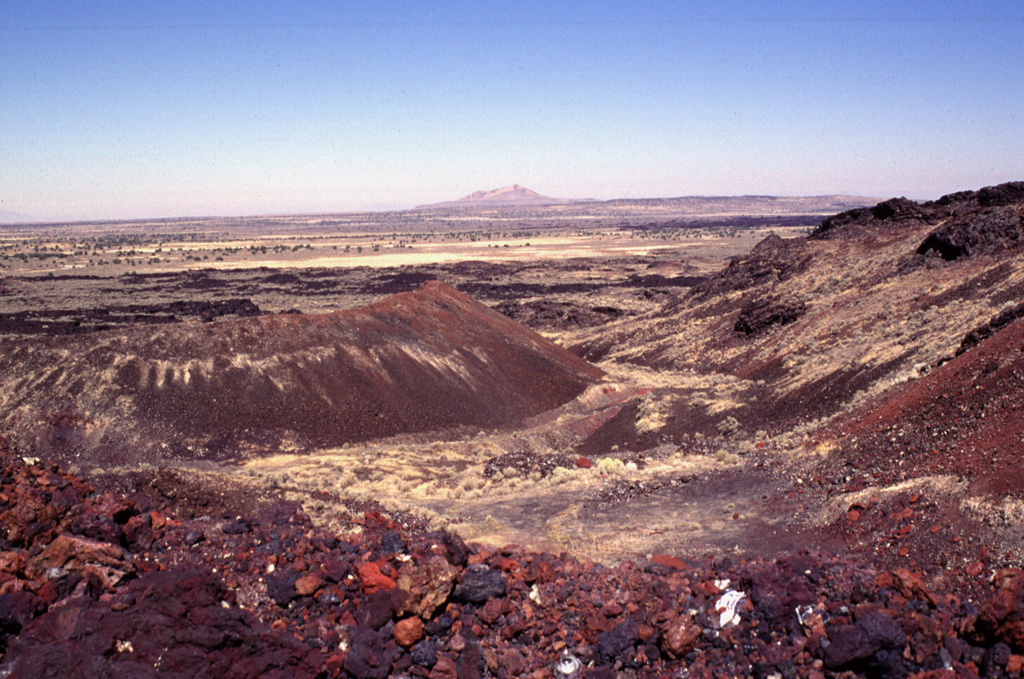
Pahvant Butte (also Pavant Butte) is a tuff cone volcano in the west-central portion of Utah, United States. Description The butte, sometimes called "Sugarloaf Mountain" by locals, is located in the Sevier Desert in the Pahvant Valley south of Delta, Utah, Delta and five miles east of Clear Lake (Utah), Clear Lake and the Clear Lake Wildlife Management Area. The butte has two peaks. The north peak has an elevation of and the south peak reaches . The peaks are about 1000 feet above the surrounding valley floor. The butte is about in diameter at the base. It formed in an active area of volcanism on top of pahoehoe and aa lavas. Originally a subaqueous volcano, it erupted out of the floor of Lake Bonneville approximately 15,500 years ago. Unusual Structure Along the southeast rim of the inner depression of the volcano is an unfinished structure consisting of a concrete building embedded in the hill surrounded by two rings of concrete obelisks. The structure was apparently beg ... [...More Info...] [...Related Items...] OR: [Wikipedia] [Google] [Baidu] |
Black Rock Desert Volcanic Field
The Black Rock Desert volcanic field in Millard County, Utah, is a cluster of several volcanic features of the Great Basin including Pahvant Butte, The Cinders, and Tabernacle Hill. The field's Ice Springs event was an explosive eruption followed by lava flows that were Utah's most recent volcanic activity (1140–1440 AD). which overlapped the older flows of Pavant Butte. The Pleistocene-Holocene field has been an active tectonic area for approximately 2.7 million years. Within the past 1.5 million years, local volcanism has produced both rhyolite, rhyolitic and basaltic Volcanic cone, cones from near twenty-four volcanic vent, vents from which lava escapes through fault (geology), geologic faults. See also *List of volcanic fields References Sources * * * * * * * * * * * * * * * * * * * * * * * * * {{Coord, 38, 58, 12, N, 112, 30, 00, W, format=dms, display=title, type:landmark_scale:1000000_region:US-UT Landforms of Millard County, Utah ... [...More Info...] [...Related Items...] OR: [Wikipedia] [Google] [Baidu] |

