|
PL Postcode Area
The PL postcode area, also known as the Plymouth postcode area, is a group of 35 postcode districts in South West England, within 25 post towns. These cover west Devon (including Plymouth, Tavistock, Ivybridge, Yelverton and Lifton) and east Cornwall (including St Austell, Bodmin, Liskeard, Launceston, Looe, Saltash, Torpoint, Callington, Wadebridge, Boscastle, Calstock, Camelford, Delabole, Fowey, Gunnislake, Lostwithiel, Padstow, Par, Port Isaac and Tintagel). __TOC__ Coverage The approximate coverage of the postal districts: ! PL1 , PLYMOUTH , Plymouth City Centre, Barbican, Devonport, The Hoe, Millbridge, Stoke, Stonehouse , Plymouth City Council , - ! PL2 , PLYMOUTH , Beacon Park, Ford, Keyham, North Prospect, Pennycross, Home Park , Plymouth City Council , - ! PL3 , PLYMOUTH , Efford, Hartley, Laira, Mannamead, Milehouse, Peverell, Higher Compton , Plymouth City Council , - ! PL4 , PLYMOUTH , Lipson, Mount Gould, Mutley, G ... [...More Info...] [...Related Items...] OR: [Wikipedia] [Google] [Baidu] |
South West England
South West England, or the South West of England, is one of the nine official regions of England, regions of England in the United Kingdom. Additionally, it is one of four regions that altogether make up Southern England. South West England consists of the counties of Cornwall (including the Isles of Scilly), Dorset, Devon, Bristol, Gloucestershire, Somerset and Wiltshire. Cities and large towns in the region include Bath, Somerset, Bath, Bristol, Bournemouth, Cheltenham, Exeter, Gloucester, Plymouth and Swindon. It is geographically the largest of the nine regions of England with a land area of , but the third-least populous, with an estimated residents in . The region includes the West Country and much of the ancient kingdom of Wessex. It includes two entire national parks of England and Wales, national parks, Dartmoor and Exmoor (a small part of the New Forest is also within the region); and four List of World Heritage Sites in the United Kingdom, World Heritage Sites: Ston ... [...More Info...] [...Related Items...] OR: [Wikipedia] [Google] [Baidu] |
Wadebridge
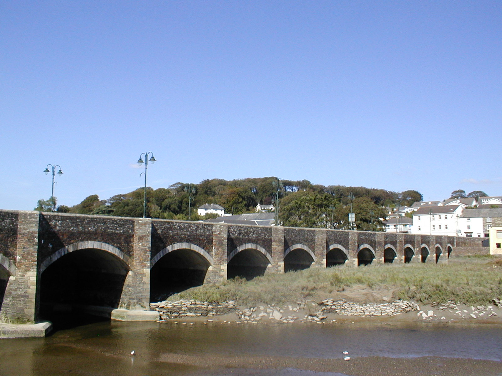
Wadebridge (; ) is a town and civil parishes in England, civil parish in north Cornwall, England, United Kingdom. The town straddles the River Camel upstream from Padstow.Ordnance Survey: Landranger map sheet 200 ''Newquay & Bodmin'' The permanent population was 6,222 in the census of 2001, increasing to 7,900 in the 2011 census. There are two electoral wards in the town (East and West). Their total population is 8,272. Originally known as ''Wade'', it was a dangerous fording point across the river until a bridge was built here in the 15th century, after which the name changed to its present form. The bridge was strategically important during the English Civil War, and Oliver Cromwell went there to take it. Since then, it has been widened twice and refurbished in 1991. Wadebridge was served by a railway station between 1834 and 1967; part of the line now forms the Camel Trail, a recreational route for walkers, cyclists and horse riders. The town used to be a road traffic bo ... [...More Info...] [...Related Items...] OR: [Wikipedia] [Google] [Baidu] |
Devonport, Devon
Devonport ( ), formerly named Plymouth Dock or just Dock, is a district of Plymouth in the English county of Devon, although it was, at one time, the more important settlement. It became a county borough in 1889. Devonport was originally one of the "Three Towns" (along with Plymouth and Stonehouse, Plymouth, East Stonehouse); these merged in 1914 to form what would become in 1928 the City of Plymouth. It is represented in the Parliament of the United Kingdom as part of the Plymouth Sutton and Devonport (UK Parliament constituency), Plymouth Sutton and Devonport constituency. Its elected Member of Parliament (MP) is Luke Pollard, who is a member of the Labour and Co-operative Party. The population of the ward at the 2011 census was 14,788. History Plymouth Dock In 1690 the Admiralty gave a contract to Robert Waters from Portsmouth to build a stone dock at Point Froward on the east bank of the Hamoaze at the mouth of the River Tamar. Plymouth Dock, as Devonport was originally c ... [...More Info...] [...Related Items...] OR: [Wikipedia] [Google] [Baidu] |
Barbican, Plymouth
The Barbican is the name given to the western and northern sides of Sutton Harbour, the original harbour of Plymouth in Devon, England. It was one of the few parts of the city to escape most of the destruction of The Blitz during the Second World War and the preceding era of Slum clearance in the United Kingdom, slum clearance following the Public Health Act 1848 (11 & 12 Vict. c. 63). Two or three streets still retain some of the architecture of a historic fishing port. The Barbican has the largest concentration of cobbled streets in Britain and contains 100 listed buildings. History The present Barbican district is generally regarded as being roughly equivalent to the location and size of the medieval walled town of Sutton. A ''barbican'' is a fortified gate, and here the name probably derives from the 'Castle Barbican' which was an entrance to Plymouth Castle, the late medieval fortress that guarded access to the Cattewater, prior to the building of the Royal Citadel, Ply ... [...More Info...] [...Related Items...] OR: [Wikipedia] [Google] [Baidu] |
Tintagel
Tintagel () or Trevena (, meaning ''Village on a Mountain'') is a civil parishes in England, civil parish and village situated on the Atlantic Ocean, Atlantic coast of Cornwall, England, United Kingdom. The village and nearby Tintagel Castle are associated with the legends surrounding King Arthur and in recent times have become a tourist attraction. It was claimed by Geoffrey of Monmouth that the castle was the place of Arthur's conception. Toponymy Toponymy, Toponymists have had difficulty explaining the origin of 'Tintagel': the probability is that it is Norman French, as the Cornish language, Cornish of the 13th century would have lacked the soft 'g' ('i/j' in the earliest forms: see also Tintagel Castle). If it is Cornish then 'Dun' would mean ''Fort''. Oliver Padel proposes 'Dun' '-tagell' meaning ''narrow place'' in his book on place names. There is a possible cognate in the Channel Islands named ''Tente d'Agel'', but that still leaves the question subject to doubt. T ... [...More Info...] [...Related Items...] OR: [Wikipedia] [Google] [Baidu] |
Port Isaac
Port Isaac () is a small fishing village on the Atlantic coast of north Cornwall, England, in the United Kingdom. The nearest towns are Wadebridge and Camelford, each away. A nearby hamlet, Port Gaverne, is sometimes considered to be part of Port Isaac. The meaning of the village's Cornish name, ''Porthysek'', is "corn port", indicating a trade in corn from the arable inland district. From 2004 to 2022, the village served as the backdrop to the ITV television series ''Doc Martin''. It also is home to the sea-shanty singing group Fisherman's Friends. History The origins of Port Isaac are likely Celtic and the development of the village can be roughly divided into three phases. Through the Middle Ages and up to the coming of the railways, Port Isaac was a thriving port serving the area inland. During the Tudor period the harbour was dredged, a good illustration of its importance. Once goods from locations further inland were better served by the North Cornwall Railway, the ... [...More Info...] [...Related Items...] OR: [Wikipedia] [Google] [Baidu] |
Par, Cornwall
Par (, meaning ''creek'' or ''harbour''Henry Jenner, ''A Handbook of the Cornish Language: Chiefly in Its Latest Stages, with Some Account of its History and Literature'', Cambridge University Press, Cambridge, 1904 reprinted 2012, ) is a village and fishing port with a harbour on the south coast of Cornwall, England, United Kingdom. The village is situated in the civil parishes in England, civil parish of Tywardreath and Par, although West Par and the Par Docks, docks lie in the parish of St Blaise (parish), St Blaise. Par is approximately east of St Austell. Par has a population of around 1,600 (in 2012). It became developed in the second quarter of the 19th century when the harbour was developed, to serve copper mines and other mineral sites in and surrounding the Luxulyan Valley; china clay later became the dominant traffic as copper working declined, and the harbour and the china clay dries remain as distinctive features of the industrial heritage; however the mineral act ... [...More Info...] [...Related Items...] OR: [Wikipedia] [Google] [Baidu] |
Padstow
Padstow (; ) is a town, civil parishes in England, civil parish and fishing port on the north coast of Cornwall, England, United Kingdom. The town is situated on the west bank of the River Camel estuary, approximately northwest of Wadebridge, northwest of Bodmin and northeast of Newquay. The population of Padstow civil parish was 3,162 in the United Kingdom Census 2001, 2001 census, reducing to 2,993 at the 2011 census. In addition Padstow (electoral division), an electoral ward with the same name exists but extends as far as Trevose Head. The population for this ward is 4,434. The geology of the low plateau west of Padstow has resulted in such features as Tregudda Gorge where erosion along the faultline has caused sheer cliffs to form; and Marble Cliffs which has alternating dark grey and light grey strata. The Round Hole is a collapsed sea cave. History In English, Padstow was originally named after Æthelstan who was reported by John Leland (antiquary), John Leland to ... [...More Info...] [...Related Items...] OR: [Wikipedia] [Google] [Baidu] |
Lostwithiel
Lostwithiel (; ) is a civil parish and small town in Cornwall, England, United Kingdom at the head of the estuary of the River Fowey. According to the 2001 census it had a population of 2,739, increasing to 2,899 at the 2011 census. The Lostwithiel electoral ward had a population of 4,639 at the 2011 census. The name Lostwithiel comes from the Cornish language, Cornish "lostwydhyel" which means "tail of a wooded area". Origin of the name The origin of the name Lostwithiel is a subject much debated. In the 16th century it was thought that the name came from the Ancient Rome, Roman name ''Uzella'', translated as ''Les Uchel'' in Cornish language, Cornish. In the 17th century popular opinion was that the name came from a translation of ''Lost'' (a tail) and ''Withiel'' (a lion), the lion in question being the lord who lived in the castle. Current thinking is that the name comes from the Old Cornish ''Lost Gwydhyel'' meaning "tail-end of the woodland". The view from Restormel Cast ... [...More Info...] [...Related Items...] OR: [Wikipedia] [Google] [Baidu] |
Gunnislake
Gunnislake () is a large village in east Cornwall, England, United Kingdom. It is situated in the Tamar Valley approximately north of Plymouth The first woman cabinet minister in the British Empire, Mary Ellen Smith, was born here in 1863. Gunnislake is in the civil parish of Calstock and is close to Cornwall's border with Devon which follows the course of the River Tamar. It has an electoral ward in its own name which includes much of Calstock and the surrounding area. The population at the 2011 census was 4,574. According to an OCSI report, of the total population, 562 (18.2%) are children, making up a larger proportion of the population than across Cornwall and Isles of Scilly (17.3%). 685 (22.2%) are people of pensionable age, making up a smaller proportion of the population than across Cornwall and Isles of Scilly (24.3%). The village has a history of mining although this industry is no longer active in the area. During the mining boom in Victorian times more than 7000 p ... [...More Info...] [...Related Items...] OR: [Wikipedia] [Google] [Baidu] |
Fowey
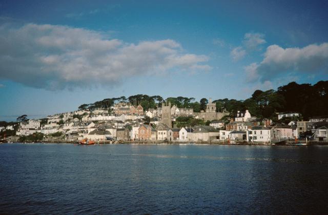
Fowey ( ; , meaning ''beech trees'') is a port town and civil parishes in England, civil parish at the mouth of the River Fowey in south Cornwall, England, United Kingdom. The town has been in existence since well before the Norman invasion, with the local church first established some time in the 7th century; the estuary of the River Fowey forms a natural harbour which enabled the town to become an important trading centre. Privateers also made use of the sheltered harbourage. The Lostwithiel and Fowey Railway brought China clay here for export. History Early history The Domesday Book survey at the end of the 11th century records manors at Penventinue and Trenant, and a priory was soon established nearby at Tywardreath. the prior granted a charter to people living in Fowey itself. This medieval town ran from a north gate near Boddinick Passage to a south gate at what is now Lostwithiel Street; the town extended a little way up the hillside and was bounded on the other side b ... [...More Info...] [...Related Items...] OR: [Wikipedia] [Google] [Baidu] |
Delabole
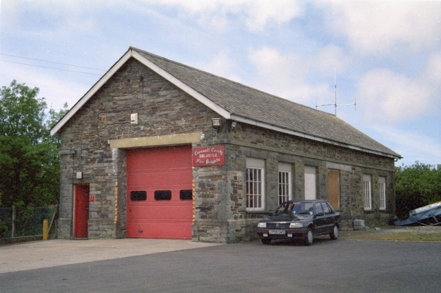
Delabole () is a large village and civil parish in north Cornwall, England, United Kingdom, which lies approximately two miles (3 km) west of Camelford. The village of Delabole came into existence in the early 20th century; it is named after the Delabole Quarry. Three hamlets – Pengelly, Meadrose (pronounced "médroze") and Rockhead – and the hamlet of Delabole, south of the quarry, are shown on the earliest one-inch Ordnance Survey map of 1813. When the North Cornwall Railway arrived, the station was named Delabole after the quarry, and the three hamlets were absorbed into Delabole. It is said to be the third highest village in Cornwall. Treligga military airfield and HMS Vulture II, an aerial bombing and gunnery range, were situated west of the village. Delabole lies within the Cornwall Area of Outstanding Natural Beauty (AONB). Toponymy The name Delabole derives from the Cornish language, as do the names of the hamlets of Pengelly and Medrose which comprise to ... [...More Info...] [...Related Items...] OR: [Wikipedia] [Google] [Baidu] |


