|
Overmountain Men
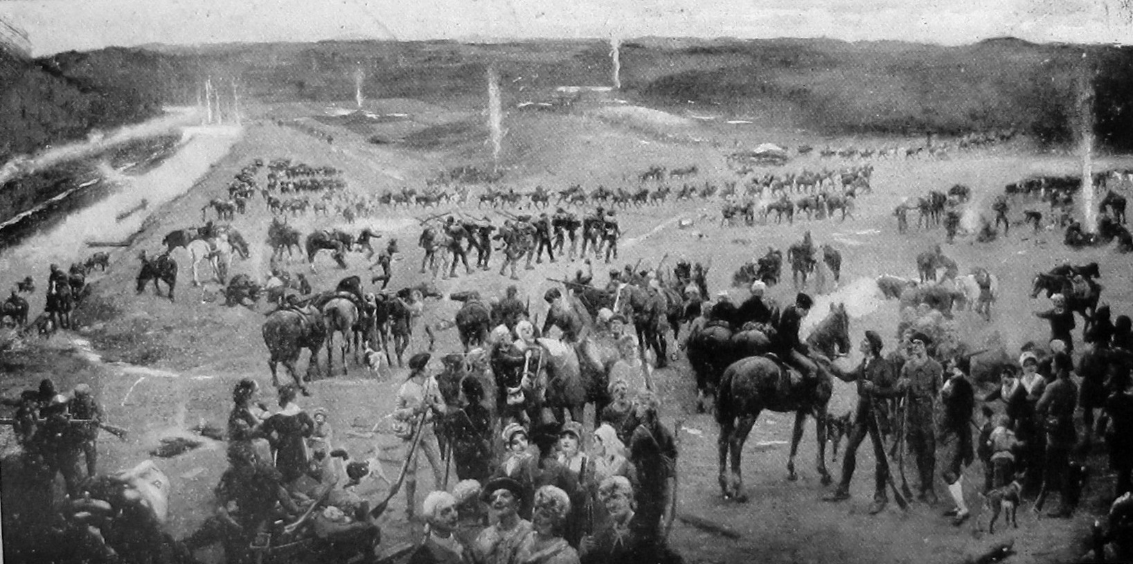
The Overmountain Men were American frontiersmen from west of the Blue Ridge Mountains which are the leading edge of the Appalachian Mountains, who took part in the American Revolutionary War. While they were present at multiple engagements in the war's southern campaign, they are best known for their role in the American victory at the Battle of Kings Mountain in 1780. The term "overmountain" arose because their settlements were west of, or "over", the Blue Ridge, which was the primary geographical boundary dividing several of the 13 American states from the Native American lands to the west. The Overmountain Men hailed from parts of Virginia, North Carolina, and what is now Tennessee and Kentucky. The efforts of the Overmountain Men helped to solidify the existence of the fragile settlements in the Watauga, Nolichucky, and Holston river valleys, the legitimacy of which had been questioned by the British Crown for several years. Many Overmountain Men, including John Sevi ... [...More Info...] [...Related Items...] OR: [Wikipedia] [Google] [Baidu] |
Isaac Shelby
Isaac Shelby (December 11, 1750 – July 18, 1826) was the first and fifth Governor of Kentucky and served in the state legislatures of Virginia and North Carolina. He was also a soldier in Lord Dunmore's War, the American Revolutionary War, and the War of 1812. While governor, he led the Kentucky militia in the Battle of the Thames, an action that was rewarded with a Congressional Gold Medal. Counties in nine states, and several cities and military bases, have been named in his honor. His fondness for John Dickinson's " The Liberty Song" is believed to be the reason Kentucky adopted the state motto " United we stand, divided we fall". Issac Shelby's military service began when he served as second-in-command to his father at the Battle of Point Pleasant, the only major battle of Lord Dunmore's War. He gained the reputation of an expert woodsman and surveyor and spent the early part of the Revolutionary War gathering supplies for the Continental Army. Later in the war, he an ... [...More Info...] [...Related Items...] OR: [Wikipedia] [Google] [Baidu] |
Chickamauga Cherokee
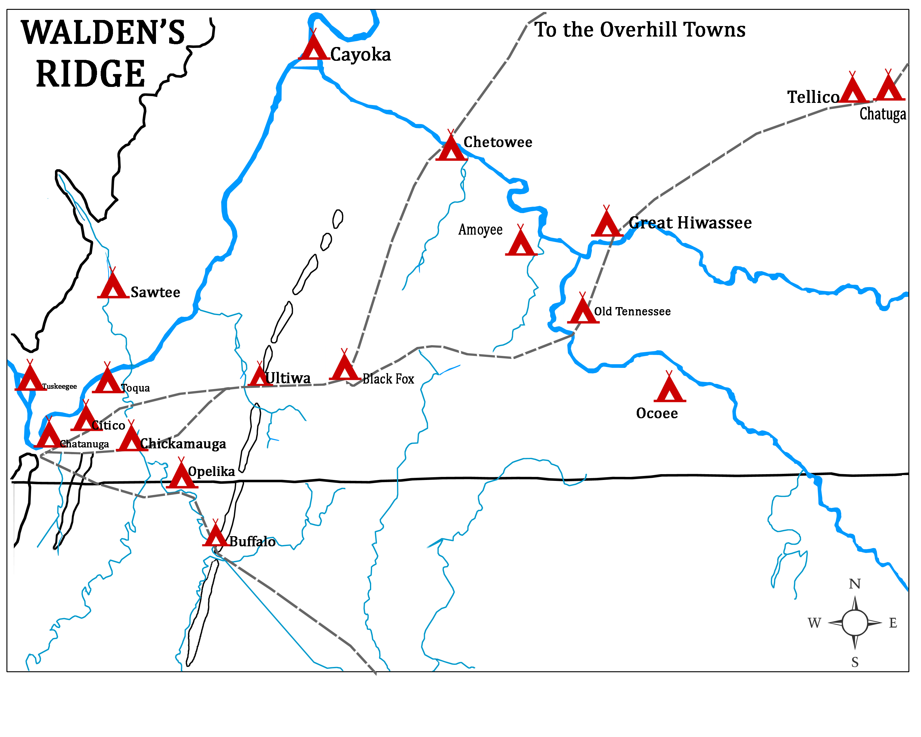
The Chickamauga Cherokee refers to a group that separated from the greater body of the Cherokee during the American Revolutionary War. The majority of the Cherokee people wished to make peace with the Americans near the end of 1776, following several military setbacks and American reprisals. The followers of the skiagusta (or red chief), Dragging Canoe, moved with him in the winter of 1776–77 down the Tennessee River away from their historic Overhill Cherokee towns. Relocated in a more isolated area, they established 11 new towns in order to gain distance from colonists' encroachments. The frontier Americans associated Dragging Canoe and his band with their new town on Chickamauga Creek and began to refer to them as the ''Chickamaugas.'' Five years later, the Chickamauga moved further west and southwest into present-day Alabama, establishing five larger settlements. They were then more commonly known as the ''Lower Cherokee''. This term was closely associated with the pe ... [...More Info...] [...Related Items...] OR: [Wikipedia] [Google] [Baidu] |
Dragging Canoe
Dragging Canoe (ᏥᏳ ᎦᏅᏏᏂ, pronounced ''Tsiyu Gansini'', "he is dragging his canoe") (c. 1738 – February 29, 1792) was a Cherokee war chief who led a band of Cherokee warriors who resisted colonists and United States settlers in the Upper South. During the American Revolution and afterward, Dragging Canoe's forces were sometimes joined by Upper Muskogee, Chickasaw, Shawnee, and Indians from other tribes/nations, along with British Loyalists, and agents of France and Spain. The series of conflicts lasted a decade after the American Revolutionary War. Dragging Canoe became the preeminent war leader among the Indians of the southeast. He served as war chief, or '' skiagusta'', of the group known as the Chickamauga Cherokee (or "Lower Cherokee"), from 1777 until his death in 1792. He was succeeded by John Watts. Biography Born about 1738, he was the son of Attakullakulla ("Little Carpenter," a Nipissing Head Man) and ''Nionne Ollie'' ("Tame Doe" a Natchez adopted Ch ... [...More Info...] [...Related Items...] OR: [Wikipedia] [Google] [Baidu] |
Tribal Chief
A tribal chief or chieftain is the leader of a tribal society or chiefdom. Tribe The concept of tribe is a broadly applied concept, based on tribal concepts of societies of western Afroeurasia. Tribal societies are sometimes categorized as an intermediate stage between the band society of the Paleolithic stage and civilization with centralized, super-regional government based in cities. Anthropologist Elman Service distinguishes two stages of tribal societies: simple societies organized by limited instances of social rank and prestige, and more stratified societies led by chieftains or tribal kings ( chiefdoms). Stratified tribal societies led by tribal kings are thought to have flourished from the Neolithic stage into the Iron Age, albeit in competition with urban civilisations and empires beginning in the Bronze Age. In the case of tribal societies of indigenous peoples existing within larger colonial and post-colonial states, tribal chiefs may represent their tribe or ... [...More Info...] [...Related Items...] OR: [Wikipedia] [Google] [Baidu] |
Washington District, North Carolina
The Washington District of North Carolina was in a remote area west of the Appalachian Mountains, officially existing for only a short period (November 1776 – November 1777), although it had been self-proclaimed and functioning as an independent governing entity since the spring of 1775. The district was the bureaucratic successor to the Watauga Association, a group of Virginian settlers that colonized the area in 1769, originally believing themselves to be in trans-Appalachian Virginia territory. When the settlement's application to be united with Virginia was denied, they asked North Carolina to annex the settlement, which occurred in November, 1776.John Finger, Tennessee Frontiers: Three Regions in Transition (Bloomington, Ind.: Indiana University Press, 2001), pp. 43-64. After the American Revolution, the now informal district saw a huge growth of the area it encompassed, eventually stretching to the Mississippi River. At the time of North Carolina's final cession of the ar ... [...More Info...] [...Related Items...] OR: [Wikipedia] [Google] [Baidu] |
Watauga Association
The Watauga Association (sometimes referred to as the Republic of Watauga) was a semi-autonomous government created in 1772 by frontier settlers living along the Watauga River in what is now Elizabethton, Tennessee. Although it lasted only a few years, the Watauga Association provided a basis for what later developed into the state of Tennessee and likely influenced other western frontier governments in the trans-Appalachian region. North Carolina annexed the Watauga settlement area, by then known as the Washington District, in November 1776. Within a year, the area was placed under a county government, becoming Washington County, North Carolina, in November 1777.Samuel Cole Williams, ''William Tatham, Wataugan'' (Johnson City, Tenn.: The Watauga Press, 1947), pp. 11–28. This area covers the present day Washington County, Carter County, and other areas now located in the northeast part of the state of Tennessee. While there is no evidence that the Watauga Association ever cla ... [...More Info...] [...Related Items...] OR: [Wikipedia] [Google] [Baidu] |
Greenville, Tennessee
Greeneville is a town in and the county seat of Greene County, Tennessee, United States. The population as of the 2020 census was 15,479. The town was named in honor of Revolutionary War hero Nathanael Greene, and it is the second oldest town in Tennessee. It is the only town with this spelling in the United States, although there are numerous U.S. towns named ''Greenville''. The town was the capital of the short-lived State of Franklin in the 18th-century history of East Tennessee. Greeneville is known as the town where United States President Andrew Johnson began his political career when elected from his trade as a tailor. He and his family lived there for most of his adult years. It was an area of strong abolitionist and Unionist views and yeoman farmers, an environment that influenced Johnson's outlook. The Greeneville Historic District was established in 1974. The U.S. Navy was named in honor of the town. Greeneville is part of the Johnson City- Kingsport- Bristol ... [...More Info...] [...Related Items...] OR: [Wikipedia] [Google] [Baidu] |
Elizabethton, Tennessee
Elizabethton is a city in, and the county seat of Carter County, Tennessee, United States. Elizabethton is the historical site of the first independent American government (known as the Watauga Association, created in 1772) located west of both the Eastern Continental Divide and the original Thirteen Colonies. The city is also the historical site of the Transylvania Purchase (1775), a major muster site during the American Revolutionary War for both the Battle of Musgrove Mill (1780) and the Battle of Kings Mountain (1780). It was within the secessionist North Carolina "State of Franklin" territory (1784–1788). The population of Elizabethton was enumerated at 14,176 during the 2010 census. Geography Northeast Tennessee location Elizabethton is located within the "Tri-Cities" area (encompassed by Bristol, Johnson City, and Kingsport) of northeast Tennessee. Time offset from Coordinated Universal Time (UTC): UTC-5 (Eastern Time). According to the United States Census ... [...More Info...] [...Related Items...] OR: [Wikipedia] [Google] [Baidu] |
Sycamore Shoals
The Sycamore Shoals of the Watauga River, usually shortened to Sycamore Shoals, is a rocky stretch of river rapids along the Watauga River in Elizabethton, Tennessee. Archeological excavations have found Native Americans lived near the shoals since prehistoric times, and Cherokees gathered there. As Europeans began settling the Trans-Appalachian frontier, the shoals proved strategic militarily, as well as shaped the economies of Tennessee and Kentucky. Today, the shoals are protected as a National Historic Landmark and are maintained as part of Sycamore Shoals State Historic Park.Carroll Van WestSycamore Shoals State Historic Park ''Tennessee Encyclopedia of History and Culture'', 2002. Retrieved: 28 June 2009.Polly Rettig and Hugh Lawing (form preparation), . 11 February 1976. Retrieved: 28 June 2009. PDF file. Explorer James Robertson (later a founder of Nashville) identified the alluring flatlands at Sycamore Shoals, known as the Watauga Old Fields, in 1770, and led a ... [...More Info...] [...Related Items...] OR: [Wikipedia] [Google] [Baidu] |
Kingsport, Tennessee
Kingsport is a city in Sullivan County, Tennessee, Sullivan and Hawkins County, Tennessee, Hawkins counties in the U.S. state of Tennessee. As of the 2020 United States Census, 2020 census, its population was 55,442. Lying along the Holston River, Kingsport is commonly included in what is known as the Mountain Empire, which spans a portion of southwest Virginia and the mountainous counties in East Tennessee, northeastern Tennessee. It is the largest city in the Kingsport-Bristol-Bristol, TN-VA MSA, Kingsport–Bristol metropolitan area, which had a population of 307,614 in 2020. The metro area is a component of the larger Tri-Cities, Tennessee, Tri-Cities region of Tennessee and Virginia, with a population of 508,260 in 2020. The name "Kingsport" is a simplification of "King's Port", originally referring to the area on the Holston River known as King's Boat Yard, the head of navigation for the Tennessee Valley. History Kingsport was developed after the American Revolutionar ... [...More Info...] [...Related Items...] OR: [Wikipedia] [Google] [Baidu] |
Long Island Of The Holston
Long Island ( chr, ᎠᎼᏰᎵ ᎫᎾᎯᏔ, translit=Amoyeli Gunahita), also known as Long Island of the Holston, is an island in the Holston River at Kingsport in East Tennessee. Important in regional history since pre-colonial times, the island is listed on the National Register of Historic Places and is designated as a U.S. National Historic Landmark District. Geography Long Island is located across the main channel of the South Branch Holston River from downtown Kingsport. It is about in length, and has a maximum width of about . A secondary channel, known locally as the Sluice, forms the southern border of the island. Bridges carry Tennessee State Route 126 across both channels about 2/3 of the way south on the island, and a third bridge carries Jared Drive to the mainland near its southern tip. The area south of SR 126 is mostly occupied by Eastman Chemical. History The Long Island of the Holston River was an important site for the Cherokee and their ancestors, a ... [...More Info...] [...Related Items...] OR: [Wikipedia] [Google] [Baidu] |


