|
Ottoman Iraq
Ottoman Iraq () refers to the period of the history of Mesopotamia, Iraq when the region was ruled by the Ottoman Empire (1534–1920; with an interlude from 1704 to 1831 From Independence under the Mamluk dynasty (Iraq), Mamluk state of Iraq).Before reforms (1534–1704), Mesopotamia, Iraq was divided into four Eyalet, Eyalets (provinces): * Baghdad Eyalet * Shahrizor Eyalet * Basra Eyalet * Mosul Eyalet Ottoman Iraq was later (1831–1920) divided into the three vilayets (provinces): * Mosul Vilayet * Baghdad Vilayet * Basra Vilayet (Ottoman Empire), Basra Vilayet During World War I, an invasion of the region was undertaken by British Empire forces and was known as the Mesopotamian campaign. Fighting commenced with the Battle of Basra (1914), Battle of Basra in 1914 and continued for the duration of the war. The most notable action was the siege of Kut, which resulted in the surrender of the British and British Indian Army garrison of the town in April 1916, after a siege of 1 ... [...More Info...] [...Related Items...] OR: [Wikipedia] [Google] [Baidu] |
Mesopotamia
Mesopotamia is a historical region of West Asia situated within the Tigris–Euphrates river system, in the northern part of the Fertile Crescent. Today, Mesopotamia is known as present-day Iraq and forms the eastern geographic boundary of the modern Middle East. Just beyond it lies southwestern Iran, where the region transitions into the Iranian plateau, Persian plateau, marking the shift from the Arab world to Iran. In the broader sense, the historical region of Mesopotamia also includes parts of present-day Iran (southwest), Turkey (southeast), Syria (northeast), and Kuwait. Mesopotamia is the site of the earliest developments of the Neolithic Revolution from around 10,000 BC. It has been identified as having "inspired some of the most important developments in human history, including the invention of the wheel, the planting of the first cereal crops, the development of cursive script, mathematics, astronomy, and agriculture". It is recognised as the cradle of some of t ... [...More Info...] [...Related Items...] OR: [Wikipedia] [Google] [Baidu] |
Battle Of Basra (1914)
The Battle of Basra was a battle of World War I which took place south of the city of Basra (modern-day Iraq) between British and Ottoman troops from November 11 to November 22, 1914. The battle resulted in the British capture of Basra. Background Once the Turkish Empire entered the war against the allies, the completion of the Berlin–Baghdad railway became a threat to the allies, as the actual origin was Hamburg and the intended terminus Basra. This route from the North Sea to the Indian Ocean posed a major threat to the British Empire which acted promptly to seize Basra and blockade Hamburg. After the capture of Fao The Food and Agriculture Organization of the United Nations; . (FAO) is a List of specialized agencies of the United Nations, specialized agency of the United Nations that leads international efforts to defeat hunger and improve nutrition ... by the British, the Ottoman army began to converge on Basra. The British had the mission of securing the Pers ... [...More Info...] [...Related Items...] OR: [Wikipedia] [Google] [Baidu] |
Mamluk Dynasty Of Iraq
The Mamluk dynasty of Iraq () was a dynasty of Georgian Mamluk origin which ruled over Iraq in the 18th and early 19th centuries. In the Ottoman Empire, Mamluks were freedmen who converted to Islam, were trained in a special school, and then assigned to military and administrative duties. Such Mamluks presided over Iraq from 1704 to 1831. The Mamluk ruling elite, composed principally of Georgian and Circassian origin from Caucasian officers, succeeded in asserting autonomy from their Ottoman overlords, and restored order and some degree of economic prosperity in the region. The Ottomans overthrew the Mamluk regime in 1831 and gradually imposed their direct rule over Iraq, which would last until World War I, although the Mamluks continued to be a dominant socio-political force in Iraq, as most of the administrative personnel of note in Baghdad were drawn from former Mamluk households, or comprised a cross-section of the notable class in Mamluk times. Background Even ... [...More Info...] [...Related Items...] OR: [Wikipedia] [Google] [Baidu] |
Edward Stanford
Edward Stanford (27 May 1827 3 November 1904) was the founder of Stanfords, now a pair of map and book shops based in London and Bristol, UK. Biography Born in 1827, and educated at the City of London School The City of London School, also known as CLS and City, is a Private schools in the United Kingdom, private day school for Single-sex education, boys in the City of London, England, on the banks of the River Thames next to the Millennium Bridge, ..., Edward Stanford developed his interest in maps after being employed by Mr Trelawney Saunders at his map and stationery shop. He became a partner to Saunders in 1852 at the age of 25. In 1853, the company was dissolved, and Stanford took over the remains of the business with the intent of turning it into a map specialist. With British colonial expansion pushing the demand for maps worldwide, and being the sole specialist of maps in London, the move was both obvious and lucrative. The name Stanfords became prominent in ... [...More Info...] [...Related Items...] OR: [Wikipedia] [Google] [Baidu] |
Samuel Augustus Mitchell
Samuel Augustus Mitchell (1790, Bristol, Connecticut – December 20, 1868, Philadelphia) was an American geographer. He was born in Connecticut. Mitchell worked as a teacher before turning to publishing geography textbooks and maps. He became involved in geography after teaching and realizing that there were so many poor quality geographical resources available to teachers. He moved to Philadelphia, Pennsylvania in either 1829 or 1830. He was in Philadelphia when he founded his company. His son, S. Augustus Mitchell, became owner in 1860. Their publications covered all genres of geography: maps, travel guides, textbooks, and more. Sales of his 24 works reached an annual volume of over 400,000 copies. Works *'' Mitchell's School Atlas, 1845—1857 *''General View of the World, Physical, Political, and Statistical'', 1846 *''Travellers' Guide through the United States'', 1850 * ''A system of modern geography, physical, political, and descriptive : accompanied by a new atlas of ... [...More Info...] [...Related Items...] OR: [Wikipedia] [Google] [Baidu] |
John Pinkerton
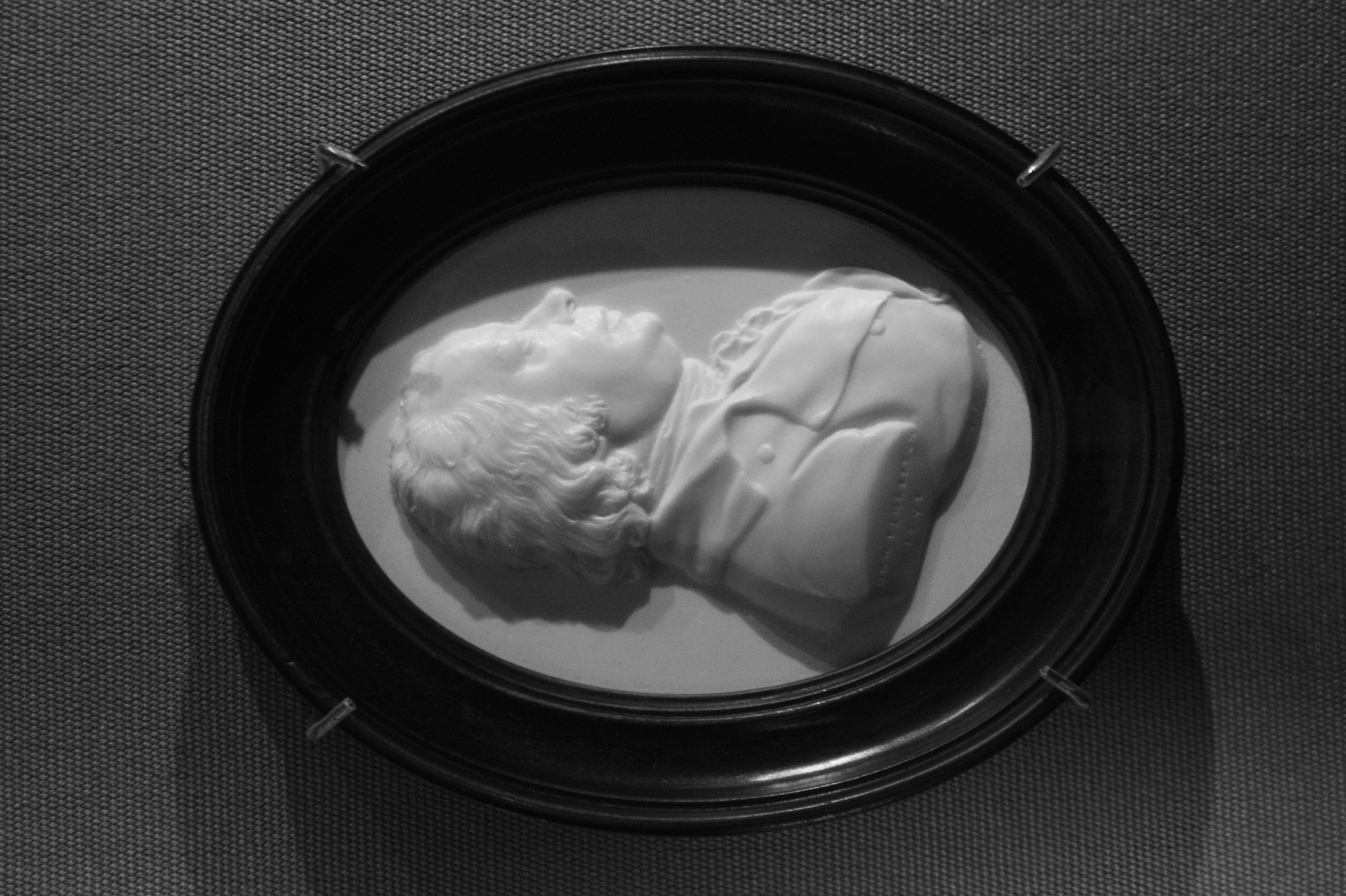
John Pinkerton (17 February 1758 – 10 March 1826) was a Scottish antiquarian, cartographer, author, numismatist, historian, and early advocate of Germanic peoples, Germanic Supremacism, racial supremacy theory. He was born in Edinburgh, as one of three sons to James Pinkerton and Mary (nee Heron or Bowie) Pinkerton. He lived in the neighbourhood of that city for some of his earliest childhood years, but later moved to Lanark. His studious youth brought him extensive knowledge of the Classics, and it is known that in his childhood years he enjoyed translating Roman Empire, Roman authors such as Livy. He moved on to Edinburgh University, and after graduating, remained in the city to take up an apprenticeship in Law. However, his scholarly inclinations led him to abandon the legal profession after he began writing ''Elegy on Craigmillar Castle'', first published in 1776. London and publications In 1781, Pinkerton moved to London, where his full career as a writer began in ... [...More Info...] [...Related Items...] OR: [Wikipedia] [Google] [Baidu] |
Cedid Atlas
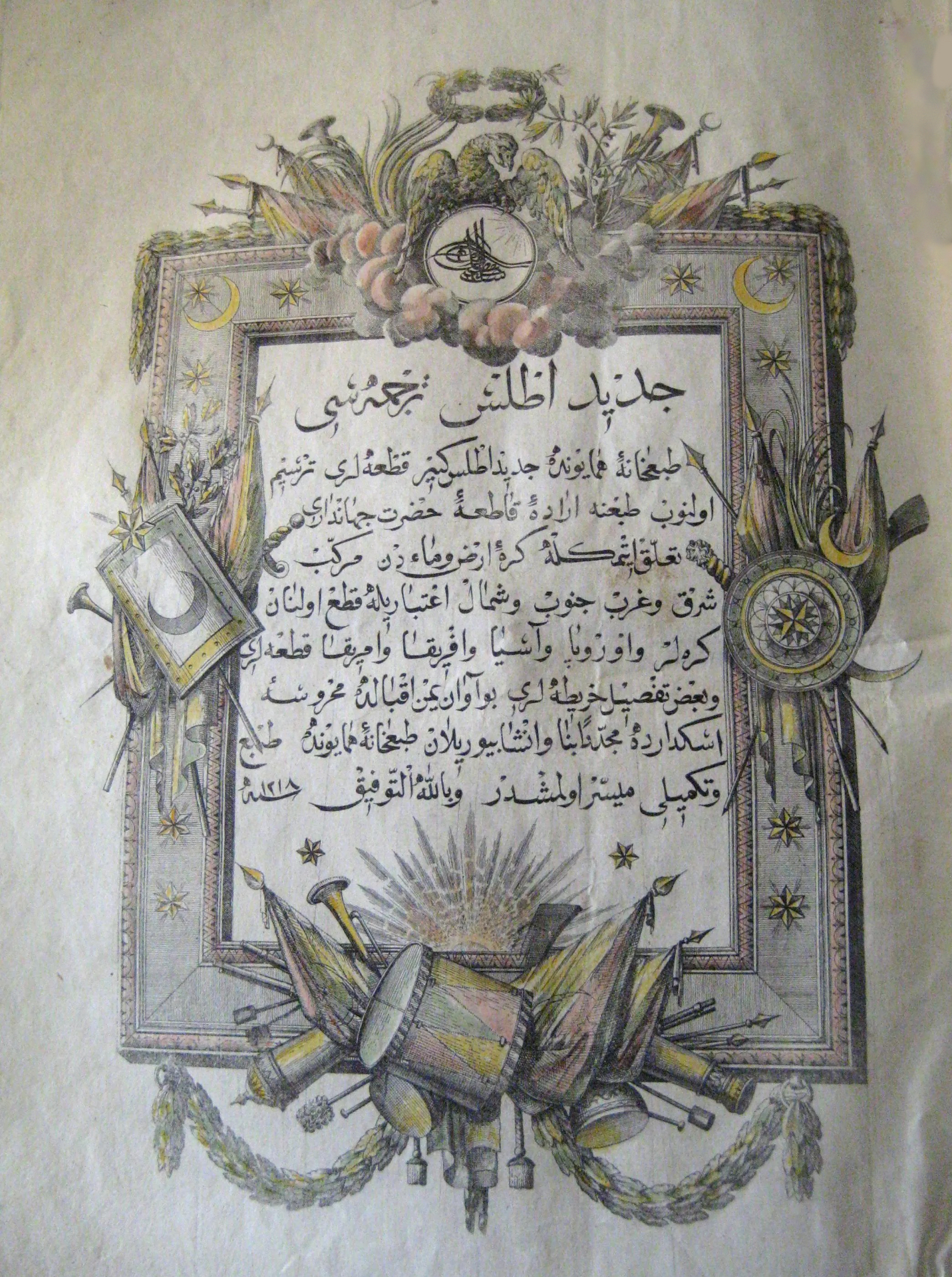
''Cedid Atlas'' () was the first modern atlas produced in the Muslim world, printed and published in 1803 in Istanbul. The atlas was created by translating and adapting maps from William Faden's ''General Atlas'' and the full title of the atlas reads as ''Cedid Atlas Tercümesi'' (meaning, literally, ''"A Translation of a New Atlas"'') and in most libraries outside Turkey, it is recorded and referenced accordingly. Although manuscripts and hand-drawn maps were widely available, the ''Cedid Atlas'' could only be published in 1803 by Müderris Abdurrahman Efendi in a style based on European sources. History The ''Cedid Atlas'' is the first modern atlas in the Muslim world, printed and published in 1803 in Constantinople, then the capital of the Ottoman Empire.First Printed Atlas in the Muslim World Th ... [...More Info...] [...Related Items...] OR: [Wikipedia] [Google] [Baidu] |
John Cary
John Cary (c. 1754 – 1835) was an English cartographer. Life Cary served his apprenticeship as an engraver in London, before setting up his own business in the Strand in 1783. He soon gained a reputation for his maps and globes, his atlas, ''The New and Correct English Atlas'' published in 1787, becoming a standard reference work in England. In 1794 Cary was commissioned by the Postmaster General to survey England's roads. This resulted in ''Cary's New Itinerary'' (1798), a map of all the major roads in England and Wales. He also produced Ordnance Survey The Ordnance Survey (OS) is the national mapping agency for Great Britain. The agency's name indicates its original military purpose (see Artillery, ordnance and surveying), which was to map Scotland in the wake of the Jacobite rising of ... maps prior to 1805. In his later life he collaborated on geological maps with the geologist William Smith. His business was eventually taken over by G. F. Cruchley (18 ... [...More Info...] [...Related Items...] OR: [Wikipedia] [Google] [Baidu] |
Jean Baptiste Bourguignon D'Anville
Jean-Baptiste Bourguignon d'Anville (; born in Paris 11 July 169728 January 1782) was a French geographer and cartographer who greatly improved the standards of map-making. D'Anville became cartographer to the king, who purchased his cartographic materials, the largest collection in France. He made more than 200 maps during his lifetime, which are characterized by a careful, accurate work largely based on original research. In particular, D'Anville left unknown areas of continents blank and noted doubtful information as such, contrary to the lavish maps of his predecessors. His maps remained the reference point in cartography throughout the 19th century and were used by numerous explorers and travellers. Biography Jean-Baptiste Bourguignon d'Anville was born in Paris on 11 July 1697, in the Kingdom of France. His passion for geographical research displayed itself from early years: aged twelve he was already amusing himself by drawing maps for Latin authors. Later, his friendshi ... [...More Info...] [...Related Items...] OR: [Wikipedia] [Google] [Baidu] |
Rigobert Bonne
Rigobert Bonne (6 October 1727 – 2 September 1794) was a French cartographer, widely considered to be one of the most important cartographers of the late 18th century. In 1773 Bonne succeeded Jacques Nicolas Bellin as Royal Cartographer to France in the office of the Hydrographer at the Depôt de la Marine. Working in his official capacity, Bonne compiled some of the most detailed and accurate maps of the period. Bonne's work represents an important step in the evolution of the cartographic ideology away from the decorative work of the 17th and early 18th century towards a more detail oriented and practical aesthetic. With regard to the rendering of terrain Bonne maps bear many stylistic similarities to those of his predecessor, Bellin. However, Bonne maps generally abandon such common 18th century decorative features such as hand coloring, elaborate decorative cartouches, and compass rose A compass rose or compass star, sometimes called a wind rose or rose of the winds, is ... [...More Info...] [...Related Items...] OR: [Wikipedia] [Google] [Baidu] |
Matthäus Seutter
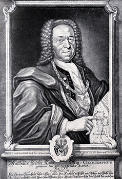
Matthäus Seutter (20 September 1678 Augsburg – March 1757 in Augsburg) was a German map publisher of the 18th century. Biography Seutter started his career as an apprentice brewer. Apparently uninspired by the beer business, Seutter left his apprenticeship and moved to Nuremberg where he apprenticed as an engraving, engraver under the tutelage of the prominent Johann Homann, J. B. Homann. Sometime in the early 18th century Seutter left Homann to establish his own independent cartographic publishing firm in Augsburg. Though he struggled in the early years of his independence, Seutter’s engraving skill and commitment to diversified map production eventually gained him a substantial following. Most of Seutter’s maps were heavily based upon, if not copies of, earlier work done by the Homann and Delisle firms. By 1732 Seutter was honored by the German Emperor Charles VI, Holy Roman Emperor, Charles VI with the title of “Imperial Geographer”. Seutter continued to publish unt ... [...More Info...] [...Related Items...] OR: [Wikipedia] [Google] [Baidu] |


