|
Old Nyali Bridge
The Nyali Bridge was a pontoon bridge, floating pontoon bridge linking Mombasa Island to the Kenya, Kenyan mainland. The bridge linked the Mzizima district of Mombasa to Nyali, and was built in 1931. In 1980, the bridge was superseded by the New Nyali Bridge (located approximately to the north), leaving the steel bridge to be dismantled for scrap. The western (Mombasa) approach to the bridge is the only remaining part of the bridge but one of the pontoon mooring anchors is on nearby display at the Tamarind Restaurant. References Bridges in Kenya Roads in Kenya Buildings and structures in Mombasa Bridges completed in 1931 {{Africa-bridge-struct-stub ... [...More Info...] [...Related Items...] OR: [Wikipedia] [Google] [Baidu] |
New Nyali Bridge
The Nyali Bridge is a concrete girder bridge connecting the city of Mombasa on Mombasa Island to the mainland of Kenya, Kenya and located on B8 road. The bridge crosses Tudor Creek (a tide, tidal inlet) to the north-east of the island. The bridge is one of three road links out of Mombasa (the others being the Kipevu Causeway, Kipevu and Makupa Causeways). The Likoni Ferry provides a third transport link to the island, and is situated at the southern tip. The mainland approach to the bridge serves as a police checkpoint in both directions. Cost The ''Old Nyali Bridge'' (a pontoon bridge, floating bridge) stood approximately 800 m downstream from the current crossing. The floating bridge was commissioned by Governor Joseph Byrne in 1931. Details It is 391.65 metres long and 26.3 metres wide with a total of six lanes. The main bridge is 330 metres prestressed continuous box girder over three spans with the centre span of 150 metres. The outer spans are 90 metres each. The br ... [...More Info...] [...Related Items...] OR: [Wikipedia] [Google] [Baidu] |
Traffic
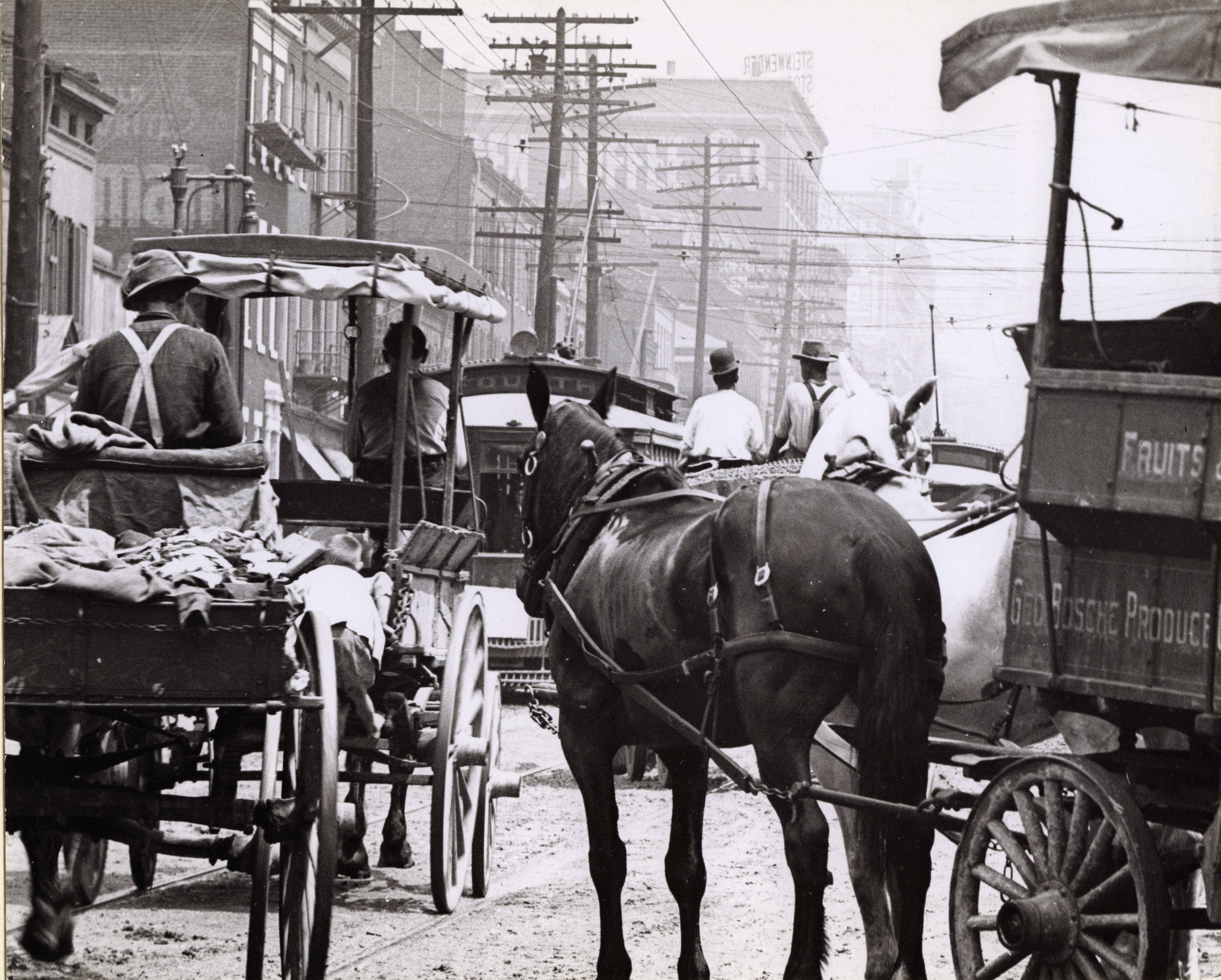
Traffic is the movement of vehicles and pedestrians along land routes. Traffic laws govern and regulate traffic, while rules of the road include traffic laws and informal rules that may have developed over time to facilitate the orderly and timely flow of traffic. Organized traffic generally has well-established priorities, lanes, right-of-way, and traffic control at intersections. ( International Regulations for Preventing Collisions at Sea govern the oceans and influence some laws for navigating domestic waters.) Traffic is formally organized in many jurisdictions, with marked lanes, junctions, intersections, interchanges, traffic signals, cones, or signs. Traffic is often classified by type: heavy motor vehicle (e.g., car, truck), other vehicle (e.g., moped, bicycle), and pedestrian. Different classes may share speed limits and easement, or may be segregated. Some jurisdictions may have very detailed and complex rules of the road while others rely more on drive ... [...More Info...] [...Related Items...] OR: [Wikipedia] [Google] [Baidu] |
Pedestrians
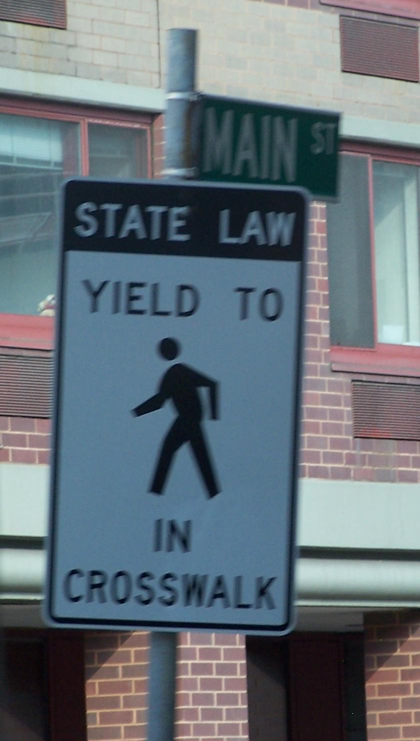
A pedestrian is a person traveling on foot, by wheelchair or with other mobility aids. Streets and roads often have a designated footpath for pedestrian traffic, called the ''sidewalk'' in North American English, the ''pavement'' in British English, and the ''footpath'' in Australian and New Zealand English. There are also footpaths not associated with thoroughfares; these include rural paths and urban short cuts. Historically, walking has been the main way people get around. In the early use of the word, ''pedestrian'' meant a "professional walker", or somebody who held a record for speed or endurance. With the advent of cars, it started to be used as an opposite: somebody who is not riding or driving. As walking is a healthy and sustainable mode of transport, there are efforts to make cities more walkable. For instance, by creating wider sidewalks, a pedestrian network, or restricting motor vehicles in city centres. Pedestrians are vulnerable and can be injured, for exam ... [...More Info...] [...Related Items...] OR: [Wikipedia] [Google] [Baidu] |
Tudor Creek
Tudor Creek is one of two main water bodies separating Mombasa Island (and the city of Mombasa) from the Kenyan mainland (the other body being Kilindini Harbour). Before the estuary into the Indian Ocean, the tidal creek A tidal creek or tidal channel is a narrow inlet or estuary that is affected by the ebb and flow of ocean tides. Thus, it has variable salinity and electrical conductivity over the tidal cycle, and flushes salts from inland soils. Tidal creeks a ... passes under the Nyali Bridge, and is bordered to the west by the Makupa Causeway. The source of the river that becomes the creek is near the town of Mariakani, approximately north-west of Mombasa. Geography of Mombasa Mombasa County Rivers of Kenya {{Kenya-river-stub ... [...More Info...] [...Related Items...] OR: [Wikipedia] [Google] [Baidu] |
Pontoon Bridge
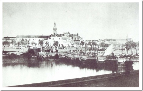
A pontoon bridge (or ponton bridge), also known as a floating bridge, is a bridge that uses float (nautical), floats or shallow-draft (hull), draft boats to support a continuous deck for pedestrian and vehicle travel. The buoyancy of the supports limits the maximum load that they can carry. Most pontoon bridges are temporary and used in wartime and civil emergencies. There are permanent pontoon bridges in civilian use that can carry highway traffic; generally, the relatively high potential for collapse and sinking (e.g. due to waves and collisions) and high continuous maintenance costs makes pontoons unattractive for most civilian construction. Permanent floating bridges are useful for sheltered water crossings if it is not considered economically feasible to suspend a bridge from anchored Pier (architecture), piers (such as in deep water). Such bridges can require a section that is elevated or can be raised or removed to allow waterborne traffic to pass. Notable permanent pontoo ... [...More Info...] [...Related Items...] OR: [Wikipedia] [Google] [Baidu] |
Mombasa Island
Mombasa Island is a coral outcrop located on Kenya's coast on the Indian Ocean, which is connected to the mainland by a causeway. Part of the city of Mombasa is located on the island, including the Mombasa_Old_Town, Old Town. History The old town of Mombasa is located at the eastern, seaward end of the island. Kilindini Harbour, Kilindini and Port Reitz, the modern deepwater harbour and port separates the island from the Kenyan mainland to the south. The old harbour, which is named Port Tudor and guarded by Fort Jesus, and Tudor Creek separate the island from the northern mainland. Modern residential sprawl and industrial areas now occupy the rest of the island. Mombasa is linked to the mainland by the Makupa Causeway to the northwest, by the Nyali Bridge to the east and by the Likoni Ferry to the south. A road and rail bridge also serve the mainland container port near Port Reitz. Port Tudor and Tudor Creek were named by Owen Tudor the Royal Navy captain who first surveyed ... [...More Info...] [...Related Items...] OR: [Wikipedia] [Google] [Baidu] |
Kenya
Kenya, officially the Republic of Kenya, is a country located in East Africa. With an estimated population of more than 52.4 million as of mid-2024, Kenya is the 27th-most-populous country in the world and the 7th most populous in Africa. Kenya's capital and largest city is Nairobi. Its second-largest and oldest city is Mombasa, a major port city located on Mombasa Island. Other major cities within the country include Kisumu, Nakuru & Eldoret. Going clockwise, Kenya is bordered by South Sudan to the northwest (though much of that border includes the disputed Ilemi Triangle), Ethiopia to the north, Somalia to the east, the Indian Ocean to the southeast, Tanzania to the southwest, and Lake Victoria and Uganda to the west. Kenya's geography, climate and population vary widely. In western, rift valley counties, the landscape includes cold, snow-capped mountaintops (such as Batian, Nelion and Point Lenana on Mount Kenya) with vast surrounding forests, wildlife and ... [...More Info...] [...Related Items...] OR: [Wikipedia] [Google] [Baidu] |
Mombasa
Mombasa ( ; ) is a coastal city in southeastern Kenya along the Indian Ocean. It was the first capital of British East Africa, before Nairobi was elevated to capital status in 1907. It now serves as the capital of Mombasa County. The town is known as "the white and blue city" in Kenya. It is the country's oldest ( 900 A.D.) and second-largest List of cities in Kenya, cityThe World Factbook . Cia.gov. Retrieved on 17 August 2013. after Nairobi, with a population of about 1,208,333 people according to the 2019 census. Mombasa's location on the Indian Ocean made it a historical trading centre, and it has been controlled by many countries because of its strategic location. Kenyan school history books place the founding of Mombasa as 900 AD. It ... [...More Info...] [...Related Items...] OR: [Wikipedia] [Google] [Baidu] |
Nyali
Nyali is a residential area and Sub-County within Mombasa City, located on the mainland north of Mombasa County. It is connected to Mombasa Island by the New Nyali Bridge. Nyali is known for its many high-class hotels and residential houses, modern standards, and long white sand beaches making it a popular destination for both local and foreign tourists.Nyali info , All you need to know about Nyali, the pearl of Mombasa. Description Nyali is a relatively affluent residential area, bordered by Kongowea to the north and north east, Mkomani to the west and the Indian Ocean to the south. It is characterised by low-density, high-value housing, malls and beachfront resorts and hotels. There are a number of points of interest in Nyali, including ''Mamba Village''(the biggest crocodile farm in Africa), ''Nyali Golf Club'', ''Dwarikadham Hindu t ...[...More Info...] [...Related Items...] OR: [Wikipedia] [Google] [Baidu] |
Approach To Nyali Bridge
{{disambiguation ...
Approach may refer to: Aviation *Visual approach *Instrument approach *Final approach Music * ''Approach'' (album), by Von Hertzen Brothers * ''The Approach'', an album by I:Scintilla Other uses *Approach Beach, a gazetted beach in Ting Kau, Hong Kong *Approach shot (other) *Lotus Approach, a database *Bridge approach * Approaches to scientific method *Bowling action in the sport of cricket *Flirting See also *Capability approach, in economic theory *Final approach (other) In aeronautics, the final approach (also called the final leg and final approach leg) is the last leg in an aircraft's approach to landing, when the aircraft is lined up with the runway and Descent (aeronautics), descending for landing.Crane, D ... [...More Info...] [...Related Items...] OR: [Wikipedia] [Google] [Baidu] |
Roar To Nyali Bridge
A roar is a type of animal vocalization that is loud, deep and resonating. Many mammals have evolved to produce roars and other roar-like vocals for purposes such as long-distance communication and intimidation. These include various species of big cats, bears, pinnipeds, bovids, deer, elephants and simians. The anatomical basis for the ability to roar often involves modifications to the larynx and hyoid bone and enlarged internal air spaces for low-frequency vocal resonation. While roaring, animals may stretch out their necks and elevate their heads to increase the space for resonance. Definition The definition of "roar" has varied between species. However Weissengruber et al. (2002) has given a more general description of roars as consisting of both a low pitch and low formant. They have used the roars of lions and red deer as quintessential examples of the sound. Other researchers have mentioned similar "roar-like" vocalizations where either the pitch or formant is still h ... [...More Info...] [...Related Items...] OR: [Wikipedia] [Google] [Baidu] |


