|
Old Carbrook State School
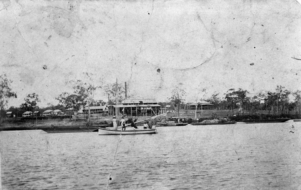
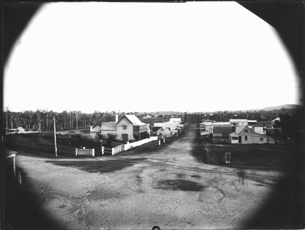
Old Carbrook State School is a heritage-listed former state school at 597–605 Beenleigh-Redland Bay Road, Carbrook, City of Logan, Queensland, Australia. It was built from 1877 to 1977. It is also known as Gramzow Provisional School. It was added to the Queensland Heritage Register on 21 October 1992. History The former Carbrook State School, now a high-set timber and iron building, was originally named Gramzow Provisional School when constructed in 1877. The area around Carbrook was originally called the Logan District after Captain Patrick Logan who discovered the Logan River in 1826. The area was logged by timber getters before selectors began arriving in the 1860s. The first selector in the area was Herman Meissner who took up his selection in April 1868. The mainly German immigrants who settled in the Carbrook area named the settlement Gramzow after the town Gramzow in Germany, and followed agricultural pursuits including the growing and milling of sugar cane and a ... [...More Info...] [...Related Items...] OR: [Wikipedia] [Google] [Baidu] |
Carbrook, Queensland
Carbrook is a suburb in the City of Logan, Queensland, Australia. Carbrook was previously called Gramzow, a name of German origin. The German name was anglicised in 1916 during World War I. In the , Carbrook had a population of 1,216 people. History Carbrook was originally known as ''Gramzow'' after the village of Gramzow, Uckermark, Northern Germany, the name being given to it by the early German settlers who arrived in 1867. The Alberton Ferry was established 1870 to cross the Logan River between Ferry Road at Carbrook () and Alberton Road at Alberton. Following the opening of the Logan Bridge in 1931, usage of the ferry declined and it was closed in 1948. Gramzow State School opened on 5 November 1877, being renamed Carbrook State School in 1916. It relocated to its present location in 1987 with the former school building still extant and listed on the Queensland Heritage Register. During World War I, German names were unpopular and many German- or German-sounding plac ... [...More Info...] [...Related Items...] OR: [Wikipedia] [Google] [Baidu] |
Anti-German Sentiment
Anti-German sentiment (also known as Anti-Germanism, Germanophobia or Teutophobia) is opposition to or fear of Germany, its inhabitants, its culture, or its language. Its opposite is Germanophilia. Anti-German sentiment largely began with the mid-19th-century unification of Germany, which made the new nation a rival to the great powers of Europe on economic, cultural, geopolitical, and military grounds. However, the German atrocities during World War I and World War II greatly strengthened anti-German sentiment. Before 1914 United States In the 19th century, the mass influx of German immigrants made them the largest group of Americans by ancestry today. This migration resulted in nativist reactionary movements not unlike those of the contemporary Western world. These would eventually culminate in 1844 with the establishment of the American Party, which had an openly xenophobic stance. One of many incidents described in a 19th century account included the blocking ... [...More Info...] [...Related Items...] OR: [Wikipedia] [Google] [Baidu] |
Driveway
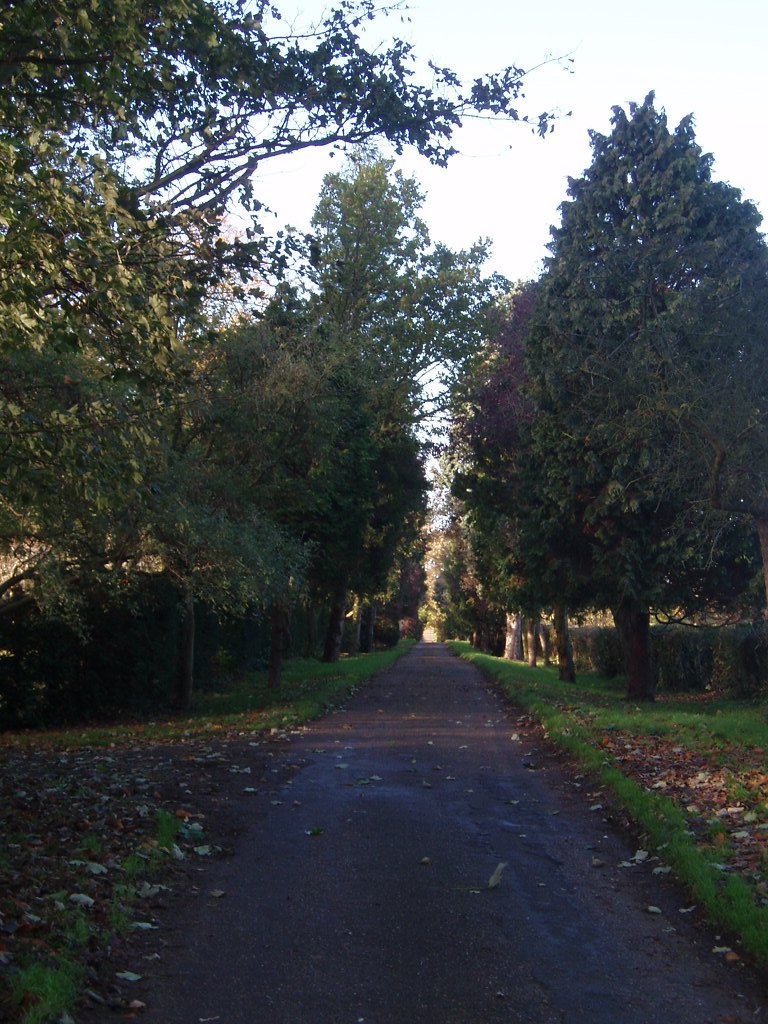
A driveway (also called ''drive'' in UK English) is a type of private road for local access to one or a small group of structures, and is owned and maintained by an individual or group. Driveways rarely have traffic lights, but some that bear heavy traffic, especially those leading to commercial businesses and parks, do. Driveways may be decorative in ways that public roads cannot, because of their lighter traffic and the willingness of owners to invest in their construction. Driveways are not resurfaced, snow blown or otherwise maintained by governments. They are generally designed to conform to the architecture of connected houses or other buildings. Some of the materials that can be used for driveways include concrete, decorative brick, cobblestone, block paving, asphalt, gravel, decomposed granite, and surrounded with grass or other ground-cover plants. Driveways are commonly used as paths to private garages, carports, or houses. On large estates, a driveway may be ... [...More Info...] [...Related Items...] OR: [Wikipedia] [Google] [Baidu] |
Awning
An awning or overhang is a secondary covering attached to the exterior wall of a building. It is typically composed of canvas woven of Acrylic fiber, acrylic, cotton or polyester yarn, or vinyl laminated to polyester fabric that is stretched tightly over a light structure of aluminium, iron or steel, possibly wood or transparency and translucency, transparent material (used to cover solar thermal panels in the summer, but that must allow as much light as possible in the winter). The configuration of this structure is something of a truss, space frame or planar Framing (construction), frame. Awnings are also often constructed of aluminium understructure with aluminium sheeting. These aluminium awnings are often used when a fabric awning is not a practical application where snow load as well as wind loads may be a factor. The location of an awning on a building may be above a window, a door, or above the area along a sidewalk. With the addition of columns an awning becomes a Canopy ... [...More Info...] [...Related Items...] OR: [Wikipedia] [Google] [Baidu] |
Gable
A gable is the generally triangular portion of a wall between the edges of intersecting roof pitches. The shape of the gable and how it is detailed depends on the structural system used, which reflects climate, material availability, and aesthetic concerns. The term gable wall or gable end more commonly refers to the entire wall, including the gable and the wall below it. Some types of roof do not have a gable (for example hip roofs do not). One common type of roof with gables, the gable roof, is named after its prominent gables. A parapet made of a series of curves ( Dutch gable) or horizontal steps ( crow-stepped gable) may hide the diagonal lines of the roof. Gable ends of more recent buildings are often treated in the same way as the Classic pediment form. But unlike Classical structures, which operate through trabeation, the gable ends of many buildings are actually bearing-wall structures. Gable style is also used in the design of fabric structures, with varying d ... [...More Info...] [...Related Items...] OR: [Wikipedia] [Google] [Baidu] |
Woongoolba, Queensland
Woongoolba is a coastal rural locality in the northern part of City of Gold Coast, Queensland, Australia. In the , Woongoolba had a population of 280 people. Geography The locality is bounded to the north by the Logan River () and to the north-east by Moreton Bay. Little Rocky Point is a headland jutting into Moreton Bay (). The land is low-lying (less than 10 metres above sea level) with only three places higher than this in the locality: * Marks Hill () rising to in the north-east of the locality, close to the mouth of the Logan River * immediately inland of Little Rocky Point * Cecil Zipf Park along the coast The land is predominantly used for growing sugarcane except for the north-east of the locality which is used for aquaculture, mostly prawns. Parts of the north-east of the locality are marshland and undeveloped. History In the late 1800s, the farming district located between the Pimpama River and the Logan River called Pimpama Island and encompasses the modern loca ... [...More Info...] [...Related Items...] OR: [Wikipedia] [Google] [Baidu] |
Shaftesbury Centre
Shaftesbury () is a town and civil parish in Dorset, England. It is situated on the A30 road, west of Salisbury, near the border with Wiltshire. It is the only significant hilltop settlement in Dorset, being built about above sea level on a greensand hill on the edge of Cranborne Chase. The town looks over the Blackmore Vale, part of the River Stour basin. Shaftesbury is the site of the former Shaftesbury Abbey, which was founded in 888 by King Alfred and became one of the richest religious establishments in the country, before being destroyed in the dissolution in 1539. Adjacent to the abbey site is Gold Hill, a steep cobbled street used in the 1970s as the setting for Ridley Scotts television advertisement for Hovis bread. In the 2011 Census the town's civil parish had a population of 7,314. Toponymy Shaftesbury has acquired a number of names throughout its history. Writing in 1906, Sir Frederick Treves referred to four of these names from Celtic, Latin an ... [...More Info...] [...Related Items...] OR: [Wikipedia] [Google] [Baidu] |
Logan City Council
Logan City is a local government area situated within the south of the Brisbane metropolitan area in South East Queensland, Australia. Situated between the City of Brisbane to the north and the City of Gold Coast to the south, the City also borders the Scenic Rim Region, the City of Ipswich, and Redland City LGAs. Logan City is divided into 70 suburbs and 12 divisions; a councillor is elected to each of the latter. The area had a population of 326,615 in June 2018. Gaining significant area in 2008 from the amalgamation of parts of the Albert and Beaudesert Shires, Logan City extends north to Priestdale, south to Mundoolun near the Albert River, east to Carbrook at the Logan River, and west to Lyons. Logan City is located across parts of the sub-basin of Oxley Creek, and the Logan and Albert Rivers. The Daisy Hill Koala Centre serves as an example of Logan's prominent bushland, reminiscent of Karawatha Forest, and the Tamborine and Venman Bushland National Parks, ... [...More Info...] [...Related Items...] OR: [Wikipedia] [Google] [Baidu] |
Redland Bay, Queensland
Redland Bay is a coastal semi-rural locality in the City of Redland, Queensland, Australia. In the , Redland Bay had a population of 14,958 people. Since the first European settlers arrived in the mid-19th century, Redland Bay has remained a farming and fishing-based area until the mid-20th century when some of the farms were subdivided and improved transport infrastructure made it possible for residents to commute the 35 kilometers into Brisbane. Geography Redland Bay is at the southern end of Redland City, south-east of Brisbane, the capital of Queensland. The locality is named for the bay to its east (), which forms part of larger Moreton Bay. The redness of the soil derives from iron oxides present in lava from a volcano that erupted (millions of years ago) in northern New South Wales, some 100 kilometres to the south. The locality is a port for vessels plying the bay islands. These islands include Russell Island, Macleay Island, Karragarra Island, Lamb Island and Nort ... [...More Info...] [...Related Items...] OR: [Wikipedia] [Google] [Baidu] |
Beenleigh, Queensland
Beenleigh is a town and suburb in the City of Logan, Queensland, Australia. In the , the suburb of Beenleigh had a population of 8,252 people. A government survey for the new town was conducted in 1866. The town is the terminus for the Beenleigh railway line, which first opened in 1885 and a stop on the South Coast railway line, which reached Southport in 1889. Beenleigh was the administrative centre of the former Shire of Albert. It is known for the heritage-listed tourist attraction called the Beenleigh Artisan Distillery. In recent years it has seen many high rise developments. Geography Beenleigh and adjoining suburbs are located near the confluence of the Logan and Albert Rivers. The urban centre lies southwest of the Pacific Motorway after it crosses the Logan River and is crossed by the Gold Coast railway line. Logan River Parklands contain a boat ramp, barbeques, and a picnic area. Whilst it was once a stand-alone town built on sugar and home to Australia's ... [...More Info...] [...Related Items...] OR: [Wikipedia] [Google] [Baidu] |
Time Capsule
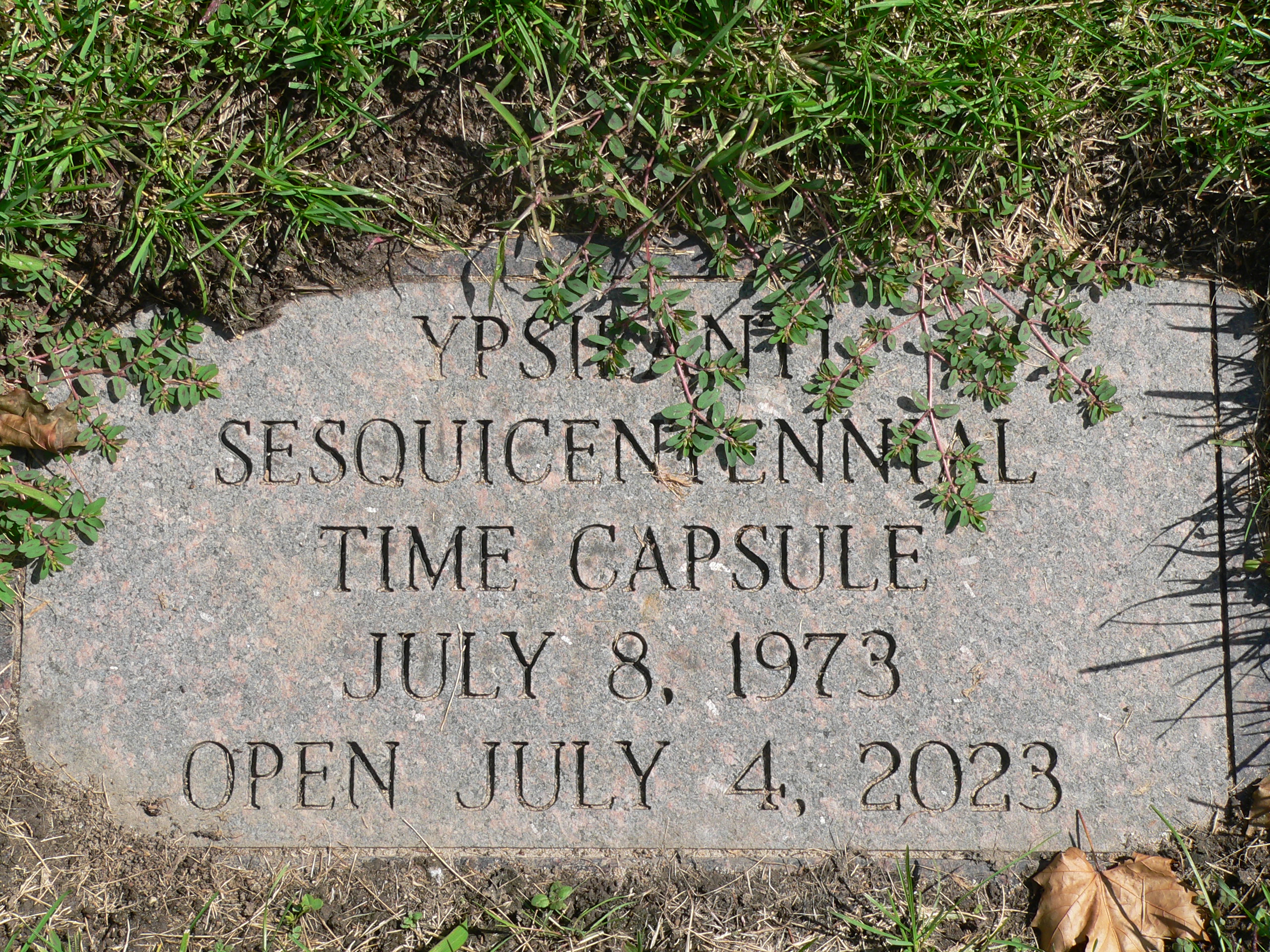
A time capsule is a historic cache of goods or information, usually intended as a deliberate method of communication with future people, and to help future archaeologists, anthropologists, or historians. The preservation of holy relics dates back for millennia, but the practice of preparing and preserving a collection of everyday artifacts and messages to the future appears to be a more recent practice. Time capsules are sometimes created and buried during celebrations such as a world's fair, a cornerstone laying for a building, or at other ceremonies. History Early examples It is widely debated when time capsules were first used, but the concept is fairly simple, and the idea and first use of time capsules could be much older than is currently documented. The term "time capsule" appears to be a relatively recent coinage dating from 1938. Around 1761, some dated artifacts were placed inside the hollow copper grasshopper weathervane, itself dating from 1742, atop histori ... [...More Info...] [...Related Items...] OR: [Wikipedia] [Google] [Baidu] |
Alberton, Queensland
Alberton is a rural locality in the City of Gold Coast, Queensland, Australia. In the , the locality of Alberton had a population of 590 people. Geography Alberton is bounded in the north by the Logan River and in the west by its tributary, the Albert River. History The Aboriginal name for the area was ''Wobbomerijee'' (where ''Wobum'' means ''mud'' and ''Mudtheri'' means ''sticky''). European settlement began in 1863 when the first settlers arrived, mostly German immigrants. A town reserve was established in 1865 on the southern bank near the junction of the Logan and Albert Rivers. The Ageston sugar plantation and sugar mill operated from 1866 to the 1890s and was described as "one of the finest plants in the Moreton district" in 1873. In 1869, the first Lutheran church was established near the Lutheran cemetery on Zipfs Road. The area was known as ''Elkana'' (meaning "God has created and blessed"). A German school was established early in the 1870s beside the church. I ... [...More Info...] [...Related Items...] OR: [Wikipedia] [Google] [Baidu] |

.jpg)


