|
Nyiragongo Territory
Nyiragongo Territory is a territory in North Kivu in the eastern Democratic Republic of the Congo. Covering an area of 333 square kilometers, it had a population of 338,966 as of 2022. The territory is bordered to the north by the Bwisha Chiefdom in Rutshuru Territory, to the south by Karisimbi ''commune'' in the city of Goma, to the east by Rwanda, and to the west by the Virunga National Park, which separates it from the Bahunde Chiefdom in Masisi Territory. Established by presidential ordinance on 20 August 1998, with administrative foundations dating back to District Commissioner's Order No. 58 of 22 June 1929, Nyiragongo Territory is composed solely of Bukumu Chiefdom. This chiefdom is further divided into seven '' groupements'', which are subdivided into 58 villages. The territory is historically governed by the Kumu people, but its population is ethnically diverse, including the native Shi, Nande, Hunde and the Congolese Banyarwanda as well as other ethnic groups. G ... [...More Info...] [...Related Items...] OR: [Wikipedia] [Google] [Baidu] |
List Of Territories Of The Democratic Republic Of The Congo
The territories of the Democratic Republic of the Congo are administrative divisions of provinces. Territories are further divided into sectors, chiefdoms, and communes. They are led by an administrator and, for the most part, take the name of the town that is their administrative center. Overview The 25 provinces of DR Congo are divided into 145 territories (fr. ''territoires'', sing. ''territoire'') and 33 cities (fr. ''villes'', sing. ''ville''). Each provincial division is also a constituency of the National Assembly as well as of the Provincial Assembly of its province. Each territory is led by a territory administrator (fr. ''administrateur de territoire'') assisted by two assistant territory administrators (fr. ''administrateurs de territoire assistants''). They are appointed by the central government and put under the direction of the provincial governor. The divisions of a territory are: sectors (fr. ''secteurs'', sing. ''secteur''), chiefdoms (fr. ''chefferies'' ... [...More Info...] [...Related Items...] OR: [Wikipedia] [Google] [Baidu] |
Masisi Territory
Masisi Territory is a territory which is located within the North Kivu Province of the Democratic Republic of the Congo. Its political headquarters are located in the town of Masisi. Overview Masisi territory has an area of 4734 km. Masisi Territory is administratively subdivided into four sectors: Bahunde, Bashali, Katoyi, and Osso. Masisi is bordered by Walikale Territory on the west and north, Rutshuru Territory to the northeast, Nyiragongo Territory and Goma to the east, and South Kivu to the south. Language-wise French is the DRC's administrative language. The most common language for a majority of the local population (56%) is Swahili. Congolese of Rwandan descent speak Kinyarwanda (10%) they migrated from Rwanda, during the Belgium labourer migration, Hunde (20%). A few people speak Tembo (2%), who migrated from Lubero Territory and Beni Territory, and a few others speak Nande (2%), which is more common in the south of Masisi in the two Ufamando groupings. The fo ... [...More Info...] [...Related Items...] OR: [Wikipedia] [Google] [Baidu] |
Nyamuragira
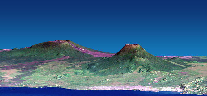
Nyamuragira, also known as Nyamulagira, is an active shield volcano in the Virunga Mountains of the Democratic Republic of the Congo, situated about north of Lake Kivu. The name is derived from Bantu languages in the region, ''Kuragira nyamu'', meaning to '' herd animals''; ''nyamu'' means ''animal'' or ''cows''. It has been described as Africa's most active volcano and has erupted over 40 times since 1885. As well as eruptions from the summit, there have been numerous eruptions from the flanks of the volcano, creating new smaller volcanoes that have lasted only for a short time (e.g. Murara from late 1976 to 1977). Recent eruptions occurred on 2 January 2010, 8 November 2011 and 23 May 2021. Geography and geology Nyamuragira volcano is an active volcano near the city of Goma in the Democratic Republic of the Congo, situated about north of Lake Kivu. It is in the Nord-Kivu Province. It is north-north-west of Nyiragongo, the volcano which caused extensive damage to the ci ... [...More Info...] [...Related Items...] OR: [Wikipedia] [Google] [Baidu] |
Mount Karisimbi
Mount Karisimbi a stratovolcano in the Virunga Mountains on the border between Rwanda and the Democratic Republic of Congo. At , Karisimbi is the highest of the eight major mountains of the mountain range, which is a part of Albertine Rift, the western branch of the East African Rift. Karisimbi is flanked by Mikeno to the north, Bisoke to the east and Nyiragongo to the west, on the other side of the Rift Valley. Karisimbi is the 11th highest mountain of Africa and ranked 61st by prominence. The name Karisimbi comes from the word 'amasimbi', which means ''snow'' in the local Kinyarwanda Kinyarwanda, Rwandan or Rwanda, officially known as Ikinyarwanda, is a Bantu language and the national language of Rwanda. It is a dialect of the Rwanda-Rundi language that is also spoken in adjacent parts of the Democratic Republic of the ... language. Snow can mostly be found during the dry season in June, July and August on the top of the volcano. Between Karisimbi and Bisoke i ... [...More Info...] [...Related Items...] OR: [Wikipedia] [Google] [Baidu] |
Mount Mikeno
Mount Mikeno is an extinct volcanic mountain located in the Democratic Republic of the Congo section of the Virunga Mountains along with Mount Nyiragongo, Mount Nyamuragira, Mount Karisimbi, Mount Bisoke and Mount Sabyinyo. At Mount Mikeno is the second highest peak in the Virunga Mountains after Karisimbi, and the 13th highest in Africa. Mikeno means "poor" and is so named for its harsh slopes which preclude human habitation. Mount Mikeno lies completely within Virunga National Park and is known for the critically endangered mountain gorillas The mountain gorilla (''Gorilla beringei beringei'') is one of the two subspecies of the eastern gorilla. It is listed as endangered by the IUCN . There are two populations: One is found in the Virunga volcanic mountains of Central/East Afri ... that live on its slopes."About Vi ... [...More Info...] [...Related Items...] OR: [Wikipedia] [Google] [Baidu] |
Mount Hehu
Mount Hehu (French'': Mont Hehu'') are large hills located in the Buhumba ''groupement'' (grouping) within the Bukumu Chiefdom of the Nyiragongo Territory in the North Kivu Province, Democratic Republic of the Congo. Standing at an elevation of 2,430 meters, Mount Hehu is situated near Hibumba and Bungeshi Mukuru villages on the border of Rwanda and the Democratic Republic of the Congo. Since the advent of M23 in 2013, Mount Hehu has been ravaged by paramilitary groups, insurgent forces, and ever-changing conflict hotspots in the region. Due to insurgent attacks, starvation, unemployment, many have evacuated their communities and sought refuge in Kanyaruchinya and Gasizi villages. History The hills were historically occupied by Kumu (Bakumu or Komo) people, Bantu horticulturalists living in the autonomous villages collectively situated at the summit of a hill surrounded by a palisade in the tropical rainforests of Nyiragongo Territory and Ituri Province in the eastern part of ... [...More Info...] [...Related Items...] OR: [Wikipedia] [Google] [Baidu] |
Mount Nyiragongo
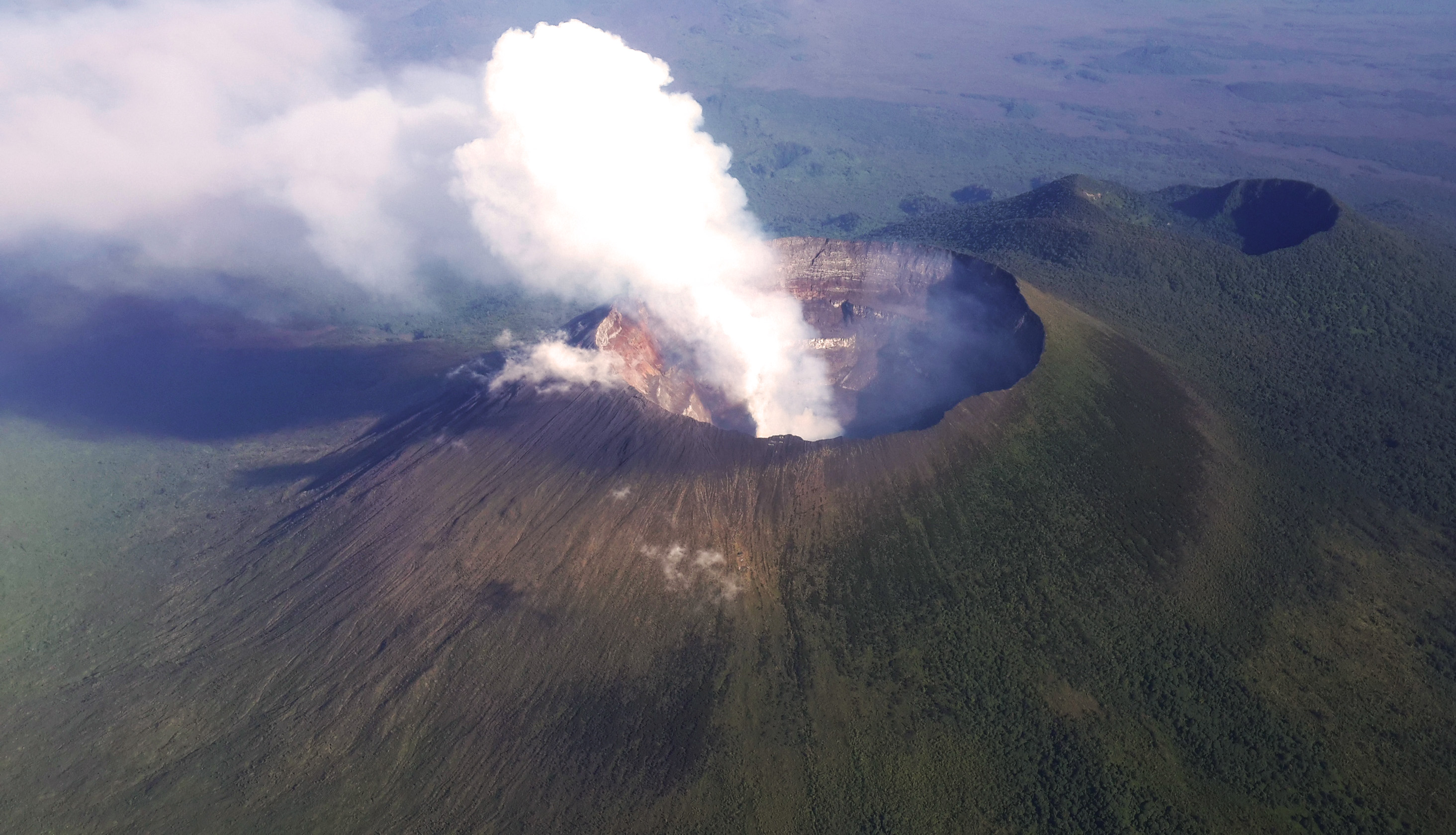
Mount Nyiragongo ( ) is an active stratovolcano with an elevation of in the Virunga Mountains associated with the Albertine Rift. It is located inside Virunga National Park, in the Democratic Republic of the Congo, about north of the town of Goma and Lake Kivu and just west of the border with Rwanda. The main crater is about wide and usually contains a lava lake. The crater presently has two distinct cooled lava benches within the crater walls – one at about and a lower one at about . Nyiragongo's lava lake has at times been the most voluminous known lava lake in recent history. The depth of the lava lake varies considerably. A maximum elevation of the lava lake was recorded at about prior to the January 1977 eruption – a lake depth of about . Following the January 2002 eruption, the lava lake was recorded at a low of about , or below the rim. The level has gradually risen since then. Nyiragongo and nearby Nyamuragira are together responsible for 40% of Africa's ... [...More Info...] [...Related Items...] OR: [Wikipedia] [Google] [Baidu] |
Congolese Banyarwanda
{{Nofootnotes, date=November 2019 The term Banyarwanda refers to Rwandan colonials or nationals who, between the end of World War I and 1960 emigrated to the Democratic Republic of Congo. The term is used to distinguish them from Banyamulenge, people from Tanzania, Rwanda, Burundi and other regions who emigrated in a wave in the 17th century. They acquired Congolese citizenship at independence from Belgium on 30 June 1960. The Congolese law on citizenship said that to be Congolese one should be a member of a tribe (ethnic) that was within Congolese boundaries as established at the Berlin Conference in 1885. Congolese Banyarwanda occupied Rutshuru, Masisi, Walikale and Kalehe before 1885. Later they were reaffirmed as citizens in Zaire (now the Democratic Republic of Congo) in 1972 by Mobutu Sese Seko when he needed their support, and subsequently had their citizenship revoked in 1981. This decision was reconfirmed near the end of the Mobutu regime, during 1992's Sovereign National C ... [...More Info...] [...Related Items...] OR: [Wikipedia] [Google] [Baidu] |
Hunde People
The Hunde people also (BaHunde, MuHunde(plural), Kobi, Rukobi) are descendants of Bantu people primarily inhabiting the Kivu region of the Democratic Republic of the Congo. Many live in the Masisi Territory, Rutshuru Territory and Walikale Territory. Some Bahunde also live in Rwanda and southwestern Uganda. They number approximately 950,000 and speak the Hunde language. Among the massive capture of Bantu speaking people, many of the Bahunde were captured and sold during the Arab slavery of Africans, many more were also captured by the Portuguese and shipped during the transatlantic slavery, and with the coming of the European coloniser, the Bahunde Kingdom was reduced to chiefdoms and forced to convert to Christianity and Islam after a decade of resistance and resilience. The Bahunde have been in conflict with the Banyarwanda of Rwanda many times long before independence, in particular with the Tutsi; a Bantu tribe with cushitic or nilotic The Nilotic peoples are peoples Indige ... [...More Info...] [...Related Items...] OR: [Wikipedia] [Google] [Baidu] |
Nande People
The Nande or Yira are a Bantu people living in the east of the Democratic Republic of Congo, mostly in North Kivu ( Beni and Lubero Territories), where they constitute more than 60% of the population. They speak the Nande language and are closely related to the Konjo people of Uganda, sometimes regarded as the same people. They numbered around 12,400,000 in 2025, and are predominantly Christian. The Nande are divided into 12 clans, namely Baswagha, Basukali, Bamate, Bahira, Bakira, Bahambo, Bito, Batangi, Bahumbe, Bakumbule, Batike and Babinga. Each clan is independent and governed by its own family head, also called "king" (omukama, omughole ou omwami), while there is no common supreme king. The Nande are mainly farmers and breeders of small livestock, even if livestock farming is a prerogative of only a few large families. They grow plantains, tubers and cereals as staple foods, and coffee, cocoa, cinchona and tea for export. Other activities include fishing in nearby Lake Edwa ... [...More Info...] [...Related Items...] OR: [Wikipedia] [Google] [Baidu] |
Bushi (region)
Bushi is mainly a traditional region and an African ethnic group in the eastern part of the Democratic Republic of the Congo (formerly Zaire); mainly located in the South Kivu province. It lies along the Mitumba Mountains and includes the administrative territories of Walungu, Kabare, Kalehe, Mwenga, Idjwi and Uvira surrounding Bukavu, which is its main city. There are about 7-12 million inhabitants in the region speaking the Mashi or Shi language. The Bushi is also a kingdom that is organized into many localities or sub-chiefdoms. The Shi people, also known as Bashi, Banyabungo or Banyindu; are exactly close neighbours of Lega; Fuliiro, Bavira and Bembe people in the southern part of South Kivu; the Banyarwanda/Barundi people in the neighboring countries, and are close neighbours of Bahunde and Banyanga people who are located in the North Kivu province. The inhabitants of Bushi are the Shi people ( Shi: ''Bashi'', singular: ''Mushi'') and their language is the Shi language ... [...More Info...] [...Related Items...] OR: [Wikipedia] [Google] [Baidu] |
Komo People (Democratic Republic Of The Congo)
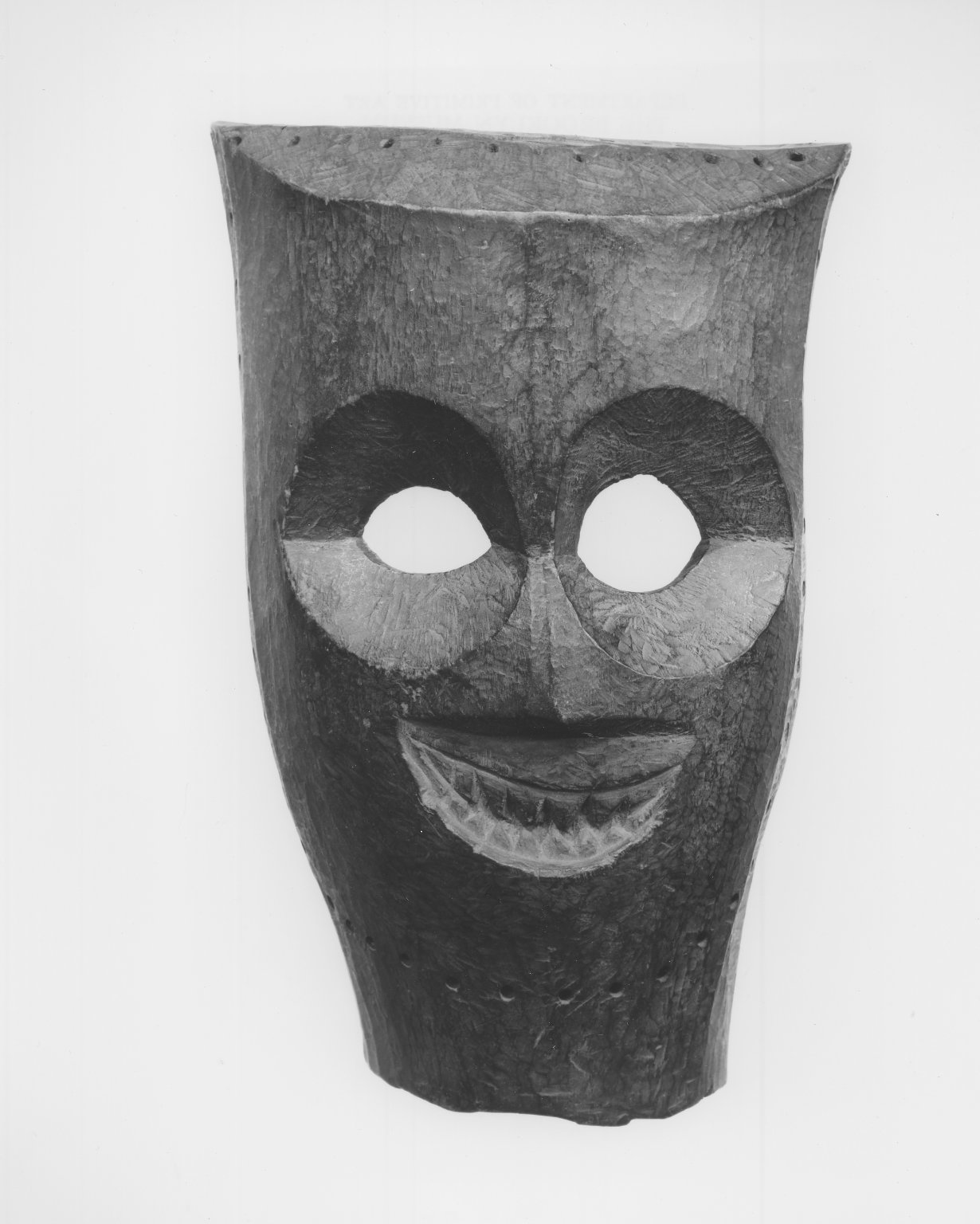
The Komo are bantu people from Central Africa that lives in the northeast of the Democratic Republic of the Congo. Ethnonomy Depending on the sources and context, there are several forms: Babira, Bakomo, Bakumbu, Bakumu, Komos, Kumo, Kumu, Kuumu, Wakumu. Language Their language is Komo language (Bantu), Komo (or kikomo), a bantu language which number of speakers was estimated in 400.000 in the Democratic Republic of the Congo in 1998. Religion Traditional beliefs. Belief in creators of worlds (Muungu) and demiurges (Nkya). There are astral legends. Before farming and hunting begin, rituals with sacrifices to the spirits are performed. There is also a belief in magic. Part of the population is Catholic (mainly urban residents).Grottanelli, 1947. p. 71 References {{Authority control Bantu peoples Bantu people Bantu languages ... [...More Info...] [...Related Items...] OR: [Wikipedia] [Google] [Baidu] |


