|
Northeastern Military Command (Brazil)
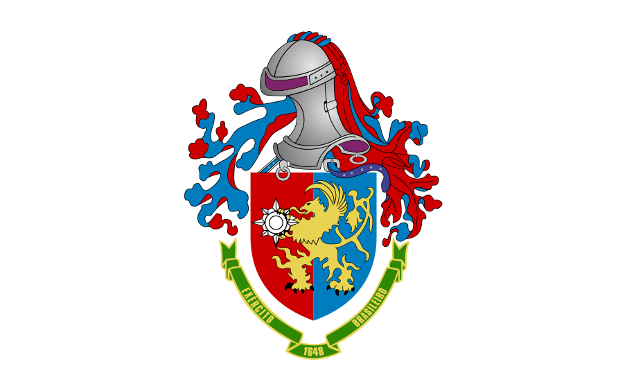
The Northeastern Military Command ( or CMNE) is one of the eight Military Commands of the Brazilian Army. The Northeastern Military Command is responsible for the defense of the states Bahia, Sergipe, Rio Grande do Norte, Paraíba, Pernambuco, Alagoas, Ceará, Piauí, and Maranhão. Three Military Regional Commands are subordinated to the CMNE for administrative purposes. Structure * Northeastern Military Command (''Comando Militar do Nordeste'') in Recife ** HQ Company Northeastern Military Command (''Companhia de Comando do Comando Militar do Nordeste'') in Recife ** 4th Signals Battalion (''4º Batalhão de Comunicações de Exército'') in Recife ** 4th Military Police Battalion (''4º Batalhão de Polícia do Exército'') in Recife ** 5th Military Intelligence Company (''5ª Companhia de Inteligência'') in Recife ** 3rd Conscription Division (''3ª Divisão de Levantamento'') in Recife ** Military High School Recife (''Colégio Militar de Recife'') in Recife ** Military H ... [...More Info...] [...Related Items...] OR: [Wikipedia] [Google] [Baidu] |
Brazilian Army
The Brazilian Army (; EB) is the branch of the Brazilian Armed Forces responsible, externally, for defending the country in eminently terrestrial operations and, internally, for guaranteeing law, order and the constitutional branches, subordinating itself, in the Federal government of Brazil, Federal Government's structure, to the Ministry of Defence (Brazil), Ministry of Defense, alongside the Brazilian Navy and Brazilian Air Force, Air Force. The Military Police (Brazil), Military Police (; PMs) and Military Firefighters Corps (; CBMs) are legally designated as reserve and auxiliary forces to the army. Its operational arm is called Land Force. It is the largest army in South America and the largest branch of the Armed Forces of Brazil. Emerging from the defense forces of the Portuguese Empire in Colonial Brazil as the Imperial Brazilian Army, its two main conventional warfare experiences were the Paraguayan War and the Brazilian Expeditionary Force, and its traditional rival i ... [...More Info...] [...Related Items...] OR: [Wikipedia] [Google] [Baidu] |
Fortaleza
Fortaleza ( ; ; ) is the state capital of Ceará, located in Northeast Region, Brazil, Northeastern Brazil. It is Brazil's 4th largest city—Fortaleza surpassed Salvador, Bahia, Salvador in 2022 census with a population of slightly over 2.4 million—and 12th among cities with the highest gross domestic product. It forms the core of the Fortaleza metropolitan area, which is home to almost 4 million people. Fortaleza is an important industrial and commercial center of Northeast Brazil. According to the Ministry of Tourism (Brazil), Ministry of Tourism, it is the fourth most visited city and tourist destination in the country. The BR-116, the most important highway in the country, starts in Fortaleza. The municipality is part of the Mercosur common market, and vital trade port which is closest to mainland Europe, being from Lisbon, Portugal. To the north of the city lies the Atlantic Ocean; to the south are the Municipalities of Brazil, municipalities of Pacatuba, Ceará, Pacat ... [...More Info...] [...Related Items...] OR: [Wikipedia] [Google] [Baidu] |
Picos
Picos is a municipality in the state of Piauí in the Northeast region of Brazil. Picos is the state's third-largest city, located in the south-central region of Piauí and is the most economically developed city in the region. The city's financial prosperity, combined with its geographical location, gives Picos a "commercial hub" status, especially for fuel and honey (Picos is known as the "capital of honey"). As of 2020, the population was approximately 78,431. Climate According to data from INMET - National Institute of Meteorology, the city of Picos Piauí has average annual temperature of . Demographics The population of the city of Picos is currently 78,431 inhabitants (IBGE 2020), and 58,307 in urban areas and 15,107 in rural areas, thus characterizing the third largest city from Piauí. It has a population density of 137.23 inhabitants / km ². Neighborhoods and villages Villages Villages include Coroatá, Fátima do Piauí, Gameleira dos Rodrigues, Lagoa Gra ... [...More Info...] [...Related Items...] OR: [Wikipedia] [Google] [Baidu] |
Teresina
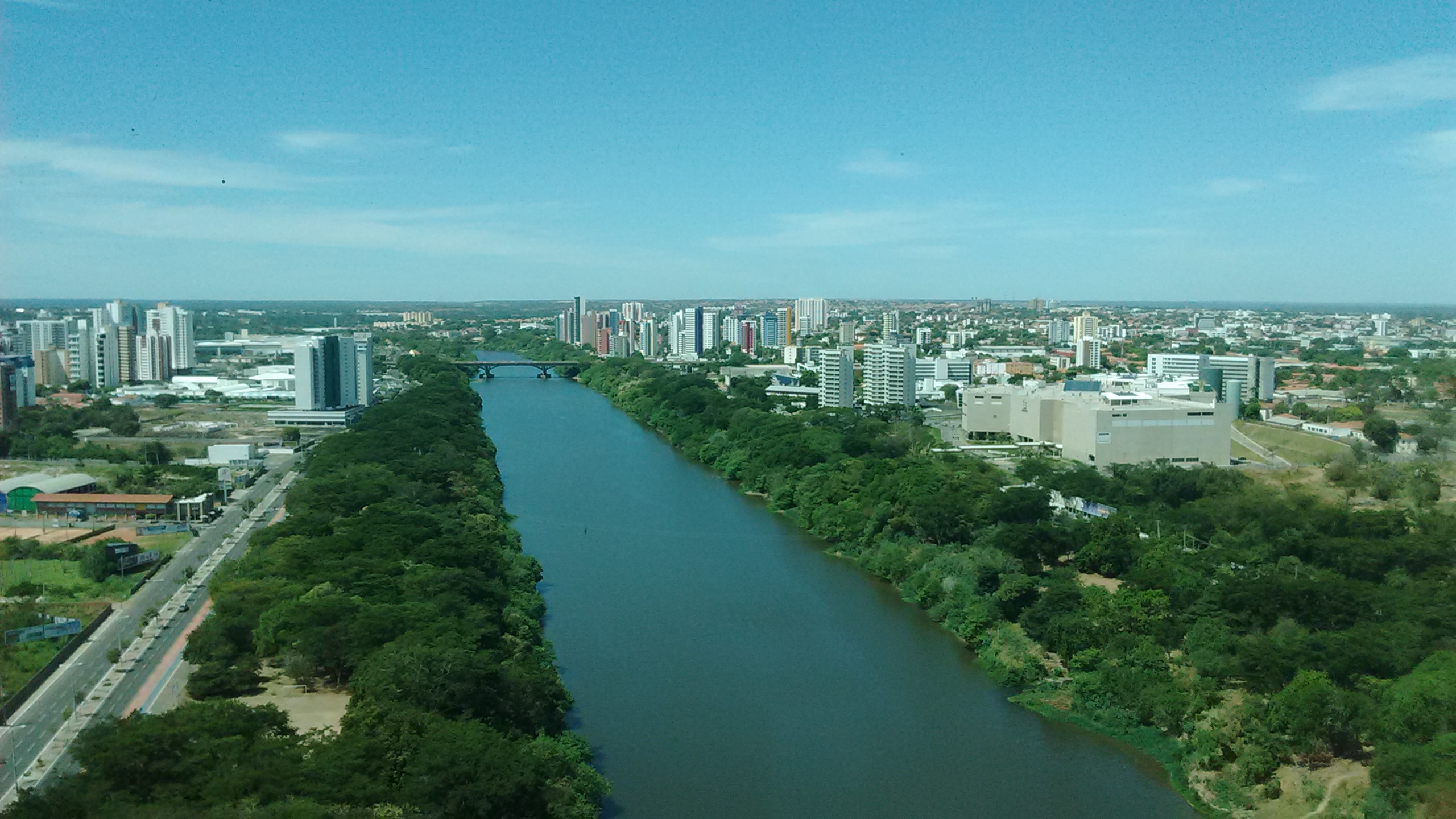
Teresina is the capital and most populous municipality in the Brazilian state of Piauí. Being located in north-central Piauí 366 km from the coast, it is the only capital in the Brazilian Northeast that is not located on the shores of the Atlantic Ocean. With 902,644 inhabitants, Teresina is the 19th largest city in Brazil, and the 16th largest state capital in the country. Together with Timon, Maranhão, Timon in the neighbouring state of Maranhão, it forms a conurbation with a population of about 2,729,527 inhabitants; the entire Integrated Development Region of Greater Teresina, metropolitan region of Teresina has over 2,893,729 inhabitants. The only natural barrier that separates Teresina from Timon is the Parnaíba River, Parnaíba river, one of the largest in the Northeast Region, Brazil, Northeast. Teresina is the capital with the best quality of life in the North-Northeast according to FIRJAN and the 4th in Brazil. It is among the 50 cities in the world with the ... [...More Info...] [...Related Items...] OR: [Wikipedia] [Google] [Baidu] |
Caicó
Caicó, also known as the City of Prince, is a municipality in the Seridó Ocidental microregion and Central Potiguar mesoregion, in Rio Grande do Norte state, Northeast Brazil. With a population of 68 726 inhabitants (2021), it is the seventh most populous city of Rio Grande do Norte and the second in the countryside of the state, after Mossoró. Located between the Seridó and Barra Nova rivers, in the eastern portion of Western Seridó, the city has the highest human development index of the Semi-arid Northeast Brazil. Founded in 1735 as Vila Nova do Príncipe, the city has evolved into a political and cultural centre of Rio Grande do Norte. The name ''Caicó'' is derived from the indigenous word ''Queicuó'', meaning 'Cuó river and mountain'. History The settlement was made initially by migrants of Pernambuco in search of land for cattle ranching, since the Royal Charter of 1701 prohibited cattle on the coast. Were awarded land grants as rewards for military shapes such ... [...More Info...] [...Related Items...] OR: [Wikipedia] [Google] [Baidu] |
João Pessoa, Paraíba
João Pessoa () is a port city in northeastern Brazil. It is the largest city in, and capital of, the state of Paraíba with an estimated population of 833,932 (as of 2022). It is located on the right bank of the Paraíba do Norte river. The new "Estação Ciência, Cultura e Artes" (Science, Culture and Art Station), located at the most eastern point of the Americas (''Ponta do Seixas''), is an educational and cultural institution as well as a national landmark. The complex, inaugurated in 2008, was created by Brazilian architect Oscar Niemeyer and is one of his final projects. The capital of Paraíba received the title of City of Crafts and Folk Arts, Creative City by UNESCO in 2017, appointing João Pessoa as "Brazilian city of handicrafts". History The city of João Pessoa was founded on August 5, 1585, during the celebration of the peace pact between the Portuguese represented by the Portuguese João Tavares, and the indigenous people, represented by the Piragibe Indi ... [...More Info...] [...Related Items...] OR: [Wikipedia] [Google] [Baidu] |
São Bento Do Una
São Bento do Una is a city from the Northeastern Region of Brazil at the Pernambuco state. According to the IBGE, it has an estimated population of 60,042 inhabitants (2020). It is located at latitude 08°31'22" South and longitude 36°26'40" West, and at approximately 614 meters above sea level. Geography * State - Pernambuco * Region - Agreste Pernambucano * Boundaries - Belo Jardim (N); Jucati, Jupi and Lajedo (S); Capoeiras, Pesqueira and Sanharó (W); Cachoeirinha (E) * Area - 727 km2 * Elevation - 614 m * Hydrography - Ipojuca and Una rivers * Vegetation - Hipoxerófila caatinga * Climate - Semi arid hot * Distance to Recife - 207 km Economy The main economic activities in São Bento do Una are based in commerce and agribusiness, especially plantations of beans, corn and manioc and creations of livestock such as: chickens, quails and their eggs, cattle, milk, pigs, sheep, goats and donkeys . Economic Indicators Economy by Sector 2006 Health Ind ... [...More Info...] [...Related Items...] OR: [Wikipedia] [Google] [Baidu] |
Paulo Afonso
Paulo Afonso is a city in Bahia, Brazil. It was founded in 1958. The city is the seat of the Roman Catholic Diocese of Paulo Afonso. The city is served by Paulo Afonso Airport. The municipality contains part of the Raso da Catarina ecoregion. The municipality holds part of the Rio São Francisco Natural Monument, which protects the spectacular canyons of the São Francisco River between the Paulo Afonso Hydroelectric Complex and the Xingó Dam. It contains part of the Raso da Catarina Ecological Station, created in 2001. Climate Paulo Afonso experiences a hot semi-arid climate (BSh) under the Koppen climate classification system. See also *List of municipalities in Bahia This is a list of the municipalities in the state of Bahia (BA), located in the Northeast Region of Brazil. Bahia is divided into 417 municipalities, which were, until 2017, grouped into 32 microregions, which were grouped into 7 mesoregions. ... References ... Municipalities in Bahia< ... [...More Info...] [...Related Items...] OR: [Wikipedia] [Google] [Baidu] |
Olinda
Olinda () is a historic city in Pernambuco, Brazil, in the Northeast Region, Brazil, Northeast Region. It is located on the country's northeastern Atlantic Ocean coast, in the Recife metropolitan area, Metropolitan Region of Recife, the state capital. It has a population of 349,976 people, covers , and has a population density of . It is noted as one of the best-preserved colonial cities in Brazil and has been inhabited since 1535. As the former capital of the Captaincy of Pernambuco during the Colonial Brazil, colonial era, Olinda has many historical buildings—the center was declared a UNESCO World Heritage Site in 1982—and a rich culture. The Brazilian Carnival, Carnaval of Olinda, a popular street party, is very similar to traditional Portuguese carnivals, with the addition of African influenced dances, reflecting the history of the Northeast. All the festivities are celebrated on the streets with no bleachers or roping, and, unlike in other cities, admission is free. Ther ... [...More Info...] [...Related Items...] OR: [Wikipedia] [Google] [Baidu] |
Petrolina
Petrolina is a municipality located in the southernmost point of the state of Pernambuco, in Northeast Brazil, in the valley of the São Francisco River. The population was 354,317 in 2020, and the total area is km2, making it the largest municipality in the state by area. The municipality is closely integrated with Juazeiro, Bahia, located on the opposite bank of the São Francisco. Etymology Formerly called (), there is no single story explaining the origin of the name Petrolina. One theory is that the name was in tribute of Brazilian emperor Pedro I and his consort Leopoldina, while another asserts that Petrolina was named for a 'beautiful rock' () found on the banks of the São Francisco. History The growth of Petrolina and its twin city Juazeiro in the late 20th century is the result of the construction of the Sobradinho Dam and the abundant availability of water for irrigation in these otherwise semi-arid soils. The region is perhaps the only one in the int ... [...More Info...] [...Related Items...] OR: [Wikipedia] [Google] [Baidu] |
Garanhuns
Garanhuns is a Municipalities of Brazil, Brazilian municipality in the Agreste region of the States of Brazil, state of Pernambuco, located 230 kilometers from the state capital, Recife. It covers an area of km² and belongs to the Caruaru Intermediate Geographic Region, serving as the principal and most populous municipality in the Garanhuns Immediate Geographic Region. According to the Brazilian Institute of Geography and Statistics (IBGE) in 2022, Garanhuns had an estimated population of approximately 142,506 inhabitants, making it the ninth most populous municipality in Pernambuco, the third most populous in the state's interior, and the second most populous in the Pernambucan Agreste region. Originally, the lands of Garanhuns were inhabited by the Indigenous peoples in Brazil, indigenous Kiriri people, Cariri people. During the 17h century, White Brazilians, white colonists and African diaspora in the Americas, enslaved Africans escaping Dutch domination in Dutch Brazil esta ... [...More Info...] [...Related Items...] OR: [Wikipedia] [Google] [Baidu] |
Maceió
Maceió (), formerly anglicised as Maceio, is the capital and the largest city of the coastal state of Alagoas, Brazil. The name "Maceió" is an Indigenous term for a Spring (hydrology), spring. Most maceiós flow to the sea, but some get trapped and form lakes ("lagoas", in Portuguese). There are numerous maceiós and lakes in this part of Brazil; because of this, the city was named Maceió, and the state, Alagoas. The new Zumbi dos Palmares International Airport connects Maceió with many Brazilian cities and also operates some international flights. The city is home to the Federal University of Alagoas. Etymology The name "Maceió" has origin in the term ''tupi maçayó'' or ''maçaio-k'', that means "what it covers the swamp". The Aurélio Dictionary says that the term "maceió" means a temporary and cyclic lagoon that is located at the edge of the sea at the mouth of a watercourse small enough to be interrupted by a silicate bar until the high tide opens the way temporarily c ... [...More Info...] [...Related Items...] OR: [Wikipedia] [Google] [Baidu] |


