|
North Bank Lighthouse
The North Bank or Northbank Lighthouse, is an active aid to navigation located at the mouth of the River Liffey, near Dublin, Ireland. It is one of four lighthouses that help guide shipping into the Liffey, and the Port of Dublin, all of which are operated and maintained by the Dublin Port Company. Built in 1882, it also affectionately called ''The Tea Caddy'' due to its architecture, and has also been described as "resembling a giant mailbox on stilts". History Completed in 1882, the green lighthouse consists of a square tower with a lantern room and gallery, which is supported by a series of concrete columns. This gives an overall height of . It is located midway between the end of the North Bull Wall, and Alexandra Quay and the main port. The other lighthouses for the port are Poolbeg at the end of the Great South Wall, North Bull at the end of the North Bull Wall, and North Wall Quay Lighthouse at the entrance to the Alexandra Basin. These lights and the various buoys at ... [...More Info...] [...Related Items...] OR: [Wikipedia] [Google] [Baidu] |
River Liffey
The River Liffey ( Irish: ''An Life'', historically ''An Ruirthe(a)ch'') is a river in eastern Ireland that ultimately flows through the centre of Dublin to its mouth within Dublin Bay. Its major tributaries include the River Dodder, the River Poddle and the River Camac. The river supplies much of Dublin's water and supports a range of recreational activities. Name Ptolemy's ''Geography'' (2nd century AD) described a river, perhaps the Liffey, which he labelled Οβοκα (''Oboka''). Ultimately this led to the name of the River Avoca in County Wicklow. The Liffey was previously named ''An Ruirthech'', meaning "fast (or strong) runner". The word ''Liphe'' (or ''Life'') referred originally to the name of the plain through which the river ran, but eventually came to refer to the river itself. The word may derive from the same root as Welsh ''llif'' (flow, stream), namely Proto-Indo-European ''lē̆i-4'', but Gearóid Mac Eoin has more recently proposed that it may derive fr ... [...More Info...] [...Related Items...] OR: [Wikipedia] [Google] [Baidu] |
Science Gallery
Science Gallery is an international group of public science centres, developed from a concept by a group connected to Trinity College Dublin, Ireland. The first Science Gallery was opened in 2008 and housed in the Naughton Institute at Trinity College. Each gallery is operated by a major academic institution in partnership with Science Gallery International and each holds various artistic exhibitions and lectures with a view to science outreach and art-science collaborations. Unlike most science centres, they have no permanent collections, but rather a series of three to four temporary exhibitions each year. Five galleries were established by the end of 2020, with several more planned. Locations Science Gallery Dublin Mission The goal of the gallery is to host a programme of "innovative and interactive exhibitions, workshops, events and debate", and to work at the "dynamic intersection where science and art collide", to engage especially people aged 15–25 with science and ... [...More Info...] [...Related Items...] OR: [Wikipedia] [Google] [Baidu] |
Buildings And Structures In County Dublin
A building, or edifice, is an enclosed structure with a roof and walls standing more or less permanently in one place, such as a house or factory (although there's also portable buildings). Buildings come in a variety of sizes, shapes, and functions, and have been adapted throughout history for a wide number of factors, from building materials available, to weather conditions, land prices, ground conditions, specific uses, prestige, and aesthetic reasons. To better understand the term ''building'' compare the list of nonbuilding structures. Buildings serve several societal needs – primarily as shelter from weather, security, living space, privacy, to store belongings, and to comfortably live and work. A building as a shelter represents a physical division of the human habitat (a place of comfort and safety) and the ''outside'' (a place that at times may be harsh and harmful). Ever since the first cave paintings, buildings have also become objects or canvasses of much art ... [...More Info...] [...Related Items...] OR: [Wikipedia] [Google] [Baidu] |
Lighthouses In Ireland
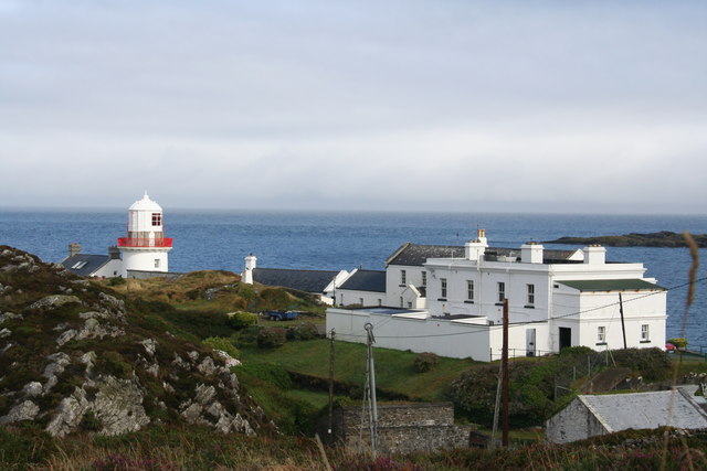
This is a list of lighthouses in Ireland. The Commissioners of Irish Lights are responsible for the majority of marine navigation aids around the island though a small number are maintained by local harbour authorities. The main list identifies those lighthouses in a clockwise direction starting with Crookhaven lighthouse, County Cork. Maintained by Commissioners of Irish Lights Maintained by other Irish marine authorities A smaller number of active lighthouses are operated by other authorities, primarily the port and harbour companies located around the Irish coast. Inactive Improvements and changes to the aids to navigation around the Irish coast, has meant that there are a number of lighthouses that have been decommissioned. This list includes those where the tower or structure is still in existence. Some of these have been reused, such as Ferris Point which is now a vessel control tower. Clare Island was turned into a guest house and the optic is on permanent ... [...More Info...] [...Related Items...] OR: [Wikipedia] [Google] [Baidu] |
List Of Lighthouses In Ireland
This is a list of lighthouses in Ireland. The Commissioners of Irish Lights are responsible for the majority of marine navigation aids around the island though a small number are maintained by local harbour authorities. The main list identifies those lighthouses in a clockwise direction starting with Crookhaven lighthouse, County Cork. Maintained by Commissioners of Irish Lights Maintained by other Irish marine authorities A smaller number of active lighthouses are operated by other authorities, primarily the port and harbour companies located around the Irish coast. Inactive Improvements and changes to the aids to navigation around the Irish coast, has meant that there are a number of lighthouses that have been decommissioned. This list includes those where the tower or structure is still in existence. Some of these have been reused, such as Ferris Point which is now a vessel control tower. Clare Island was turned into a guest house and the optic is on permanent ... [...More Info...] [...Related Items...] OR: [Wikipedia] [Google] [Baidu] |
Light Characteristic
A light characteristic is all of the properties that make a particular navigational light identifiable. Graphical and textual descriptions of navigational light sequences and colours are displayed on nautical charts and in Light Lists with the chart symbol for a lighthouse, lightvessel, buoy or sea mark with a light on it. Different lights use different colours, frequencies and light patterns, so mariners can identify which light they are seeing. Abbreviations While light characteristics can be described in prose, e.g. "Flashing white every three seconds", lists of lights and navigation chart annotations use abbreviations. The abbreviation notation is slightly different from one light list to another, with dots added or removed, but it usually follows a pattern similar to the following (see the chart to the right for examples). * An abbreviation of the type of light, e.g. "Fl." for flashing, "F." for fixed. * The color of the light, e.g. "W" for white, "G" for green, "R" for re ... [...More Info...] [...Related Items...] OR: [Wikipedia] [Google] [Baidu] |
National Geospatial-Intelligence Agency
The National Geospatial-Intelligence Agency (NGA) is a combat support agency within the United States Department of Defense whose primary mission is collecting, analyzing, and distributing geospatial intelligence (GEOINT) in support of national security. Initially known as the National Imagery and Mapping Agency (NIMA) from 1996 to 2003, it is a member of the United States Intelligence Community. NGA headquarters, also known as NGA Campus East or NCE, is located at Fort Belvoir North Area in Springfield, Virginia. The agency also operates major facilities in the St. Louis, Missouri area (referred to as NGA Campus West or NCW), as well as support and liaison offices worldwide. The NGA headquarters, at , is the third-largest government building in the Washington metropolitan area after The Pentagon and the Ronald Reagan Building. In addition to using GEOINT for U.S. military and intelligence efforts, NGA provides assistance during natural and man-made disasters, aids in se ... [...More Info...] [...Related Items...] OR: [Wikipedia] [Google] [Baidu] |
Inishmore
Inishmore ( ga, Árainn , or ) is the largest of the Aran Islands in Galway Bay, off the west coast of Ireland. With an area of and a population of 762 (as of 2016), it is the second-largest island off the Irish coast (after Achill) and most populous of the Aran Islands. The island is in the Irish-speaking Gaeltacht and has a strong Irish culture. Much of the island is karst landscape and it has a wealth of ancient and medieval sites including Dún Aonghasa, described as "the most magnificent barbaric monument in Europe" by George Petrie. Name Before the 20th century, the island was usually called ''Árainn'' or ''Árainn Mhór'', which is thought to mean "kidney-shaped" or "ridge". It was anglicized as 'Aran', 'Aran More' or 'Great Aran'. This has caused some confusion with Arranmore, County Donegal, which has the same Irish name. The name 'Inishmore' was "apparently concocted by the Ordnance Survey for its map of 1839" as an anglicization of ''Inis Mór'' ("big isl ... [...More Info...] [...Related Items...] OR: [Wikipedia] [Google] [Baidu] |
Red Bull Cliff Diving World Series
The Red Bull Cliff Diving World Series, established in 2009 and created by Red Bull, is an annual international series of cliff diving events in which a limited number of competitors determine the Cliff Diving World Series winner. Divers jump from a platform at a height ranging from 26 to 28 m (85–92 ft). Competitions are held in a limited number of venues around the globe. Tour ranking Every athlete scores a number of points in every competition as distributed here: Points system from 2012 In 2012 the Series introduced a new point system that was continued to be used also during the 2013 season. Cliff Diving World Series champion is the athlete who scored the highest cumulated number of points in all competitions during the season. The top 6 divers in the overall ranking at the end of the season will pre-qualify automatically for the next season. Previous winners Men Women Tour events 1 Divers jumped at 4 different sites: Wang Long Bay ... [...More Info...] [...Related Items...] OR: [Wikipedia] [Google] [Baidu] |
High Diving
High diving is the act of diving into water from relatively great heights. High diving can be performed as an adventure sport (as with cliff diving), as a performance stunt (as with many records attempts), or competitively during sporting events. It debuted at a FINA event at the 2013 World Aquatics Championships in Barcelona, after the sport was added to the federation's list of disciplines. In the world championships, men jump from a platform while women jump from a platform. In other official competitions, men generally dive from a height of while women dive from a height of . The sport is unique in that athletes are often unable to practice in an authentic environment until the days leading up to a competition. High divers have achieved speeds of descent of . History Initially, diving as a sport began by jumping from "great heights". Then it was exclusively practiced by gymnasts as they found it exciting with a low probability of injury. It then evolved into "diving ... [...More Info...] [...Related Items...] OR: [Wikipedia] [Google] [Baidu] |
Trinity College, Dublin
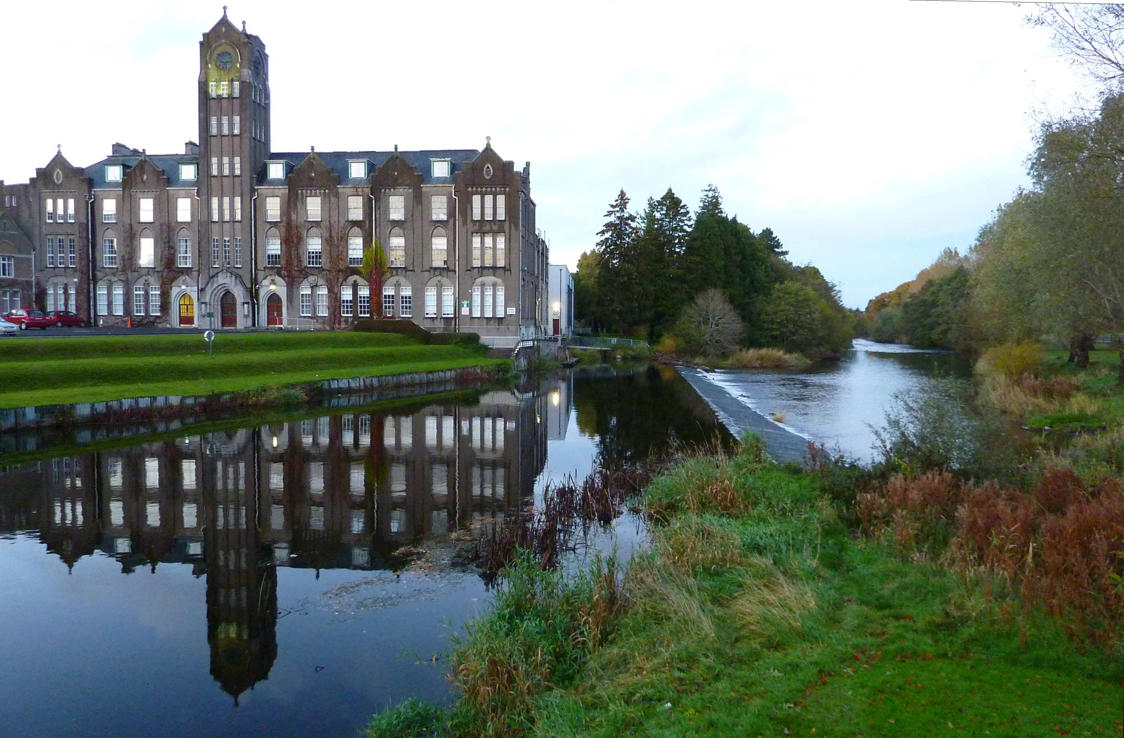
, name_Latin = Collegium Sanctae et Individuae Trinitatis Reginae Elizabethae juxta Dublin , motto = ''Perpetuis futuris temporibus duraturam'' (Latin) , motto_lang = la , motto_English = It will last into endless future times , founder = Queen Elizabeth I , established = , named_for = The Holy Trinity.The Trinity was the patron of The Dublin Guild Merchant, primary instigators of the foundation of the University, the arms of which guild are also similar to those of the College. , previous_names = , status = , architect = , architectural_style =Neoclassical architecture , colours = , gender = , sister_colleges = St. John's College, CambridgeOriel College, Oxford , freshman_dorm = , head_label = , head = , master = , vice_head_label = , vice_head = , warden ... [...More Info...] [...Related Items...] OR: [Wikipedia] [Google] [Baidu] |
Fog Bell
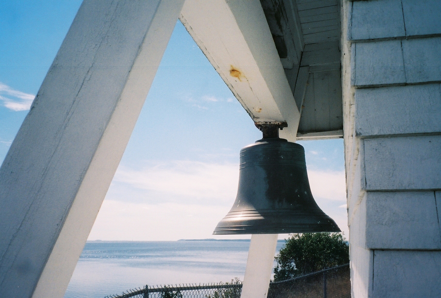
A fog bell is a navigation mark used as an audible aid to navigation in seafaring, especially in fog and poor visibility. Floating navigation signs with bells are called bell buoys. On ships, the ship's bell is used for sound signals. Due to more suitable sound generators, but also the development and spread of radar, satellite navigation and electronic charting systems, fog bells have lost their importance for maritime navigation. Maritime marks on land Starting in the 18th century, fog signals were given for seafaring in Europe, initially cannons or guns. In 1766, the first bell for this purpose was installed in Nidingen on the Baltic Sea.Thomas Tag''Fog Bells'' United States Lighthouse Society website. Retrieved September 27, 2021. These were initially rung by hand, which was a chore during prolonged fog, others used mechanisms similar to clockwork that had to be wound periodically. Andrew Morse Jr. eventually developed an "perpetual fog bell" that was used in 1839 at Penobsco ... [...More Info...] [...Related Items...] OR: [Wikipedia] [Google] [Baidu] |


