|
Niemegk
Niemegk () is a town in the Potsdam-Mittelmark district, in Brandenburg, in eastern Germany. It is the administrative seat of the '' Amt'' ("collective municipality") Niemegk. Geography The municipal area is situated on the northeastern slopes of the Fläming Heath, east of the Plane river. The surrounding region comprises farmland and extended forests adjoining the High Fläming Nature Park. The town centre is located about southeast of Bad Belzig, and north of Wittenberg. The town has access to the Bundesautobahn 9 highway at the Niemegk junction. History A ''Burgward'' at the former site of a Slavic fortress ( gord) was first mentioned in an 1161 deed, at the time when the Ascanian margrave Albert the Bear conquered the Hevelli lands in the north. The name ''Nymik'' or ''Niemeke'' is possibly derived from the town of Nijmegen in the Low Countries, the place of origin of German settlers. The estates were held by the Teutonic Order and the former village was vested wi ... [...More Info...] [...Related Items...] OR: [Wikipedia] [Google] [Baidu] |
Niemegk (Amt)
Amt Niemegk is an ''Amt'' ("collective municipality") in the district of Potsdam-Mittelmark, in Brandenburg, Germany. Its seat is in Niemegk. The ''Amt'' Niemegk consists of the following municipalities: #Mühlenfließ #Niemegk # Planetal #Rabenstein Demography File:Bevölkerungsentwicklung Amt Niemegk.pdf, Development of population since 1875 within the current Boundaries (Blue Line: Population; Dotted Line: Comparison to Population development in Brandenburg state; Grey Background: Time of Nazi Germany; Red Background: Time of communist East Germany) File:Bevölkerungsprognosen Amt Niemegk.pdf, Recent Population Development and Projections (Population Development before Census 2011 (blue line); Recent Population Development according to the Census in Germany in 2011 (blue bordered line); Official projections for 2005-2030 (yellow line); for 2017-2030 (scarlet line); for 2020-2030 (green line) References Niemegk Niemegk () is a town in the Potsdam-Mittelmark dis ... [...More Info...] [...Related Items...] OR: [Wikipedia] [Google] [Baidu] |
Potsdam-Mittelmark
Potsdam-Mittelmark is a ''Kreis'' (district) in the western part of Brandenburg, Germany. Its neighbouring administrative units are (clockwise from the north) the district of Havelland (district), Havelland, the free cities of Brandenburg (town), Brandenburg and Potsdam, the state of Berlin, the district of Teltow-Fläming, and the districts of Wittenberg (district), Wittenberg, Anhalt-Bitterfeld and Jerichower Land in Saxony-Anhalt. Geography The district includes the southern banks of the Havel river and the northern parts of the Fläming (a wooded hill chain). There are three nature parks in the district: High Fläming Nature Park, Nuthe-Nieplitz Nature Park and Westhavelland Nature Park. History The district was created in 1993 by merging the previous districts of Belzig, Brandenburg-Land and Potsdam-Land. Demography File:Bevölkerungsentwicklung Landkreis Potsdam-Mittelmark.pdf, Development of Population since 1875 within the Current Boundaries (Blue Line: Population; Dot ... [...More Info...] [...Related Items...] OR: [Wikipedia] [Google] [Baidu] |
High Fläming Nature Park
High Fläming Nature Park () is an 827 km2 nature park in Potsdam-Mittelmark district in the German state Brandenburg. It is the third largest of 11 nature parks in the state of Brandenburg. In 1997, it was declared a nature park by the State Minister for the Environment. There is a visitor center in Rabenstein/Fläming offering information, an interesting exhibition, a bike rental and a shop with regional products. Geography The park is located about 80 km southwest of Berlin and Potsdam and covers the higher parts of the Fläming hill chain. The highest elevation is the Hagelberg (200,24 m). In the southwest, the region borders the Fläming Nature Park in the state of Saxony-Anhalt. Bad Belzig is the largest and most important town in the region, which is home to around 27.000 inhabitants overall. Other towns include Wiesenburg/Mark, Görzke, Niemegk and Brück. The population density is 30 inhabitants per km2. About half of the area is forests, the other ha ... [...More Info...] [...Related Items...] OR: [Wikipedia] [Google] [Baidu] |
Fläming Heath
The Fläming Heath () is a region and hill chain that reaches over 100 km from the Elbe river to the Dahme River in the German states Saxony-Anhalt and Brandenburg. Its highest elevation is the Hagelberg (201 m). The name Fläming originates from the 12th century, when Flemish colonists came to settle in the region from the overcrowded cities of Flanders. The Fläming Heath is a rural area, which benefits from its proximity to the Berlin metropolitan area. Tourism became an important economic sector. With its three nature parks ( High Fläming Nature Park, Fläming Nature Park, and Nuthe-Nieplitz Nature Park), the focus is on walking, cycling and recreation in nature. Another tourist attraction is Flaeming-Skate, which is one of the longest inline-skating tracks in Europe (190 km). The towns Ziesar, Bad Belzig, Niemegk, Treuenbrietzen, Jüterbog, Baruth/Mark, Dahme/Mark, Wittenberg, Loburg, Möckern, and Zerbst Zerbst () is a List of cities and towns in Germ ... [...More Info...] [...Related Items...] OR: [Wikipedia] [Google] [Baidu] |
Thirty Years' War
The Thirty Years' War, fought primarily in Central Europe between 1618 and 1648, was one of the most destructive conflicts in History of Europe, European history. An estimated 4.5 to 8 million soldiers and civilians died from battle, famine, or disease, while parts of Germany reported population declines of over 50%. Related conflicts include the Eighty Years' War, the War of the Mantuan Succession, the Franco-Spanish War (1635–1659), Franco-Spanish War, the Torstenson War, the Dutch-Portuguese War, and the Portuguese Restoration War. The war had its origins in the 16th-century Reformation, which led to religious conflict within the Holy Roman Empire. The 1555 Peace of Augsburg attempted to resolve this by dividing the Empire into Catholic and Lutheran states, but the settlement was destabilised by the subsequent expansion of Protestantism beyond these boundaries. Combined with differences over the limits of imperial authority, religion was thus an important factor in star ... [...More Info...] [...Related Items...] OR: [Wikipedia] [Google] [Baidu] |
Battle Of Mühlberg
The Battle of Mühlberg took place near Mühlberg in the Electorate of Saxony in 1547, during the Schmalkaldic War. The Catholic princes of the Holy Roman Empire led by the Holy Roman Emperor Charles V decisively defeated the Lutheran Schmalkaldic League of Protestant princes under the command of Elector John Frederick I of Saxony and Landgrave Philip I of Hesse. The battle ended the Schmalkaldic war and led to the dissolution of the Schmalkaldic League. Background The spread of the Protestant Reformation in Germany after 1517 represented a major obstacle to the universalistic projects of Charles V, the Habsburg emperor. Attempts at reconciliation between Lutherans and Catholics at the diets of Speyer of 1526 and 1529 had failed, sharpening the mutual opposition between the two sides. The Reformation offered to most independent German states the pretext to affirm their autonomy not only on the religious level, but also on the political one. For some of these small st ... [...More Info...] [...Related Items...] OR: [Wikipedia] [Google] [Baidu] |
Napoleonic Wars
{{Infobox military conflict , conflict = Napoleonic Wars , partof = the French Revolutionary and Napoleonic Wars , image = Napoleonic Wars (revision).jpg , caption = Left to right, top to bottom:Battles of Battle of Austerlitz, Austerlitz, Fall of Berlin (1806), Berlin, Battle of Friedland, Friedland, Battle of Aspern-Essling, Aspern-Essling, French occupation of Moscow, Moscow, Battle of Leipzig, Leipzig and Battle of Paris (1814), Paris , date = {{start and end dates, 1803, 5, 18, 1815, 11, 20, df=yes({{Age in years, months, weeks and days, month1=05, day1=18, year1=1803, month2=11, day2=20, year2=1815) , place = Atlantic Ocean, Caucasus, Europe, French Guiana, Mediterranean Sea, North Sea, West Indies, Ottoman Egypt, Egypt, East Indies. , result = Coalition victory , combatant1 = Coalition forces of the Napoleonic Wars, Coalition forces:{{flagcountry, United Kingdom of Great Britain and ... [...More Info...] [...Related Items...] OR: [Wikipedia] [Google] [Baidu] |
Hussite Wars
The Hussite Wars, also called the Bohemian Wars or the Hussite Revolution, were a series of civil wars fought between the Hussites and the combined Catholic forces of Sigismund, Holy Roman Emperor, Holy Roman Emperor Sigismund, the Papacy, and European monarchs loyal to the Catholic Church, as well as various Hussite factions. At a late stage of the conflict, the Utraquists changed sides in 1432 to fight alongside Roman Catholics and opposed the Taborites and other Hussite factions. These wars lasted from 1419 to approximately 1434. The unrest began after pre-Protestant Christian reformer Jan Hus was executed by the Catholic Church in 1415 for heresy. Because Sigismund had plans to be crowned the Holy Roman Emperor (requiring papal coronation), he suppressed the religion of the Hussites, yet it continued to spread. When King Wenceslaus IV of Bohemia, brother of Sigismund, died of natural causes a few years later, the tension stemming from the Hussites grew stronger. In Prague ... [...More Info...] [...Related Items...] OR: [Wikipedia] [Google] [Baidu] |
Low Countries
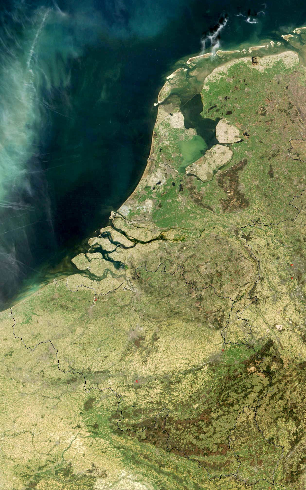
The Low Countries (; ), historically also known as the Netherlands (), is a coastal lowland region in Northwestern Europe forming the lower Drainage basin, basin of the Rhine–Meuse–Scheldt delta and consisting today of the three modern "Benelux" countries: Belgium, Luxembourg, and the Netherlands (, which is singular). Geographically and historically, the area can also include parts of France (such as Nord (French department), Nord and Pas-de-Calais) and the Germany, German regions of East Frisia, Geldern, Guelders and Cleves. During the Middle Ages, the Low Countries were divided into numerous semi-independent principalities. Historically, the regions without access to the sea linked themselves politically and economically to those with access to form various unions of ports and hinterland, stretching inland as far as parts of the German Rhineland. Because of this, nowadays not only physically low-altitude areas, but also some hilly or elevated regions are considered part of ... [...More Info...] [...Related Items...] OR: [Wikipedia] [Google] [Baidu] |
Archbishopric Of Magdeburg
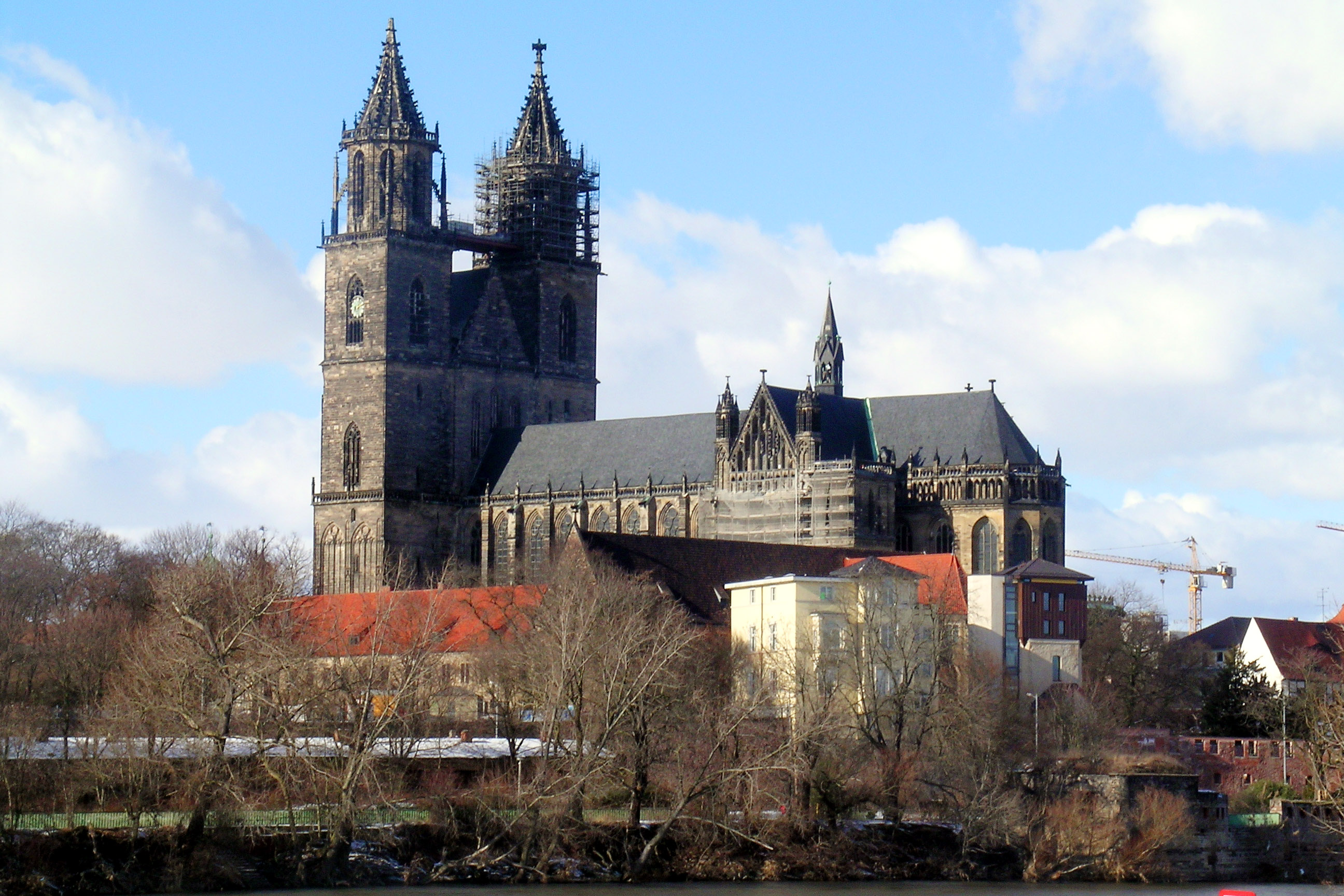
The Archbishopric of Magdeburg was a Catholic Church, Latin Catholic archdiocese (969–1552) and Prince-Bishopric, Prince-Archbishopric (1180–1680) of the Holy Roman Empire centered on the city of Magdeburg on the Elbe River. Planned since 955 and established in 967, the archdiocese had de facto turned void since 1557, when the last papally confirmed prince-archbishop, the Lutheran Sigismund of Brandenburg came of age and ascended to the see. All his successors were only Diocesan administrator#Administrators of prince-bishoprics, administrators of the prince-archbishopric and Lutheran too, except the Catholic cleric Archduke Leopold Wilhelm of Austria, Leopold William of Austria (1631–1635). In ecclesiastical respect the remaining Catholics and their parishes and abbeys in the former archdiocese were put under supervision of the Archdiocese of Cologne in 1648 and under the jurisdiction of the Vicariate Apostolic of Northern Germany, Apostolic Vicariate of the Northern Mission ... [...More Info...] [...Related Items...] OR: [Wikipedia] [Google] [Baidu] |
Margraviate Of Brandenburg
The Margraviate of Brandenburg () was a major principality of the Holy Roman Empire from 1157 to 1806 that, having electoral status although being quite poor, grew rapidly in importance after inheriting the Duchy of Prussia in 1618 and then came to play a pivotal role in the history of Germany and that of Central Europe as core of the Kingdom of Prussia, Prussian kingdom. Brandenburg developed out of the Northern March founded in the territory of the Slavic peoples, Slavic Wends. It derived one of its names from this inheritance, the March of Brandenburg (). Its ruling margraves were established as prestigious prince-electors in the Golden Bull of 1356, allowing them to vote in the election of the Holy Roman Emperor. The state thus became additionally known as Electoral Brandenburg or the Electorate of Brandenburg ( or ). The House of Hohenzollern came to the throne of Brandenburg in 1415. In 1417, Frederick I, Elector of Brandenburg, Frederick I moved its capital from Brandenbu ... [...More Info...] [...Related Items...] OR: [Wikipedia] [Google] [Baidu] |
Electorate Of Saxony
The Electorate of Saxony, also known as Electoral Saxony ( or ), was a territory of the Holy Roman Empire from 1356 to 1806 initially centred on Wittenberg that came to include areas around the cities of Dresden, Leipzig and Chemnitz. It was a major Holy Roman state, being an Prince-elector, electorate and the original protecting power of Protestant principalities until that role was later taken by its neighbor, Brandenburg-Prussia. In the Golden Bull of 1356, Emperor Charles IV, Holy Roman Emperor, Charles IV designated the Duchy of Saxe-Wittenberg an electorate, a territory whose ruler was one of the prince-electors who chose the Holy Roman emperor. After the extinction of the male Saxe-Wittenberg line of the House of Ascania in 1422, the duchy and the electorate passed to the House of Wettin. The electoral privilege was tied only to the Electoral Circle, specifically the territory of the former Duchy of Saxe-Wittenberg. In the 1485 Treaty of Leipzig, the Wettin noble house w ... [...More Info...] [...Related Items...] OR: [Wikipedia] [Google] [Baidu] |


