|
Niederanven
Niederanven (, ; ) is a commune in Luxembourg, located north-east of Luxembourg City, and derives its name from principal town, Niederanven. , it has a population of 6,660. The commune of Niederanven is the intersection for the A1 motorway and N1. Luxembourg Airport is located within the boundaries of the communes of Niederanven and Sandweiler. Geography , the town of Niederanven, which lies in the north-east of the commune, has a population of 1,537. Other towns within the commune include Ernster, Hostert, Oberanven, Rameldange, Senningen and Senningerberg, as well as the hamlet of Waldhof. Population Twin towns — sister cities Niederanven is a founding member of the Douzelage, a town twinning association of towns across the European Union. This active town twinning began in 1991 and there are regular events, such as a produce market from each of the other countries and festivals. As of 2019, its members are: * Agros, Cyprus * Altea, Spain * Asikkala, Finland ... [...More Info...] [...Related Items...] OR: [Wikipedia] [Google] [Baidu] |
Senningen
Senningen (), is a small town in the Communes of Luxembourg, commune of Niederanven, in central Luxembourg. As of 2024, the town has a population of 749. History The town developed following the late-17th-century establishment by monks of a paper mill within the town powered by the fast flowing Senninger Brook. Following a fire in 1750, Pierre Bourgeois, a French immigrant, ordered the facilities of the mill enlarged and the residential property on the site rebuilt in the classical style. Output was under the ownership of Jacques Lamort throughout the early 1800s, with mechanisation improvements to the mill and the River engineering#Canalization of rivers, canalisation of the Senninger Brook. However, as a result of economic problems, the mill was finally closed in 1882. The same year, the site was bought by Ernest Derveaux who demolished the mill and transformed the owner's residence into a Mock castle, revival-style castle, Senningen Castle, (), which included neo-Gothic wings ... [...More Info...] [...Related Items...] OR: [Wikipedia] [Google] [Baidu] |
Oberanven
Oberanven (, ; ) is a small town in the commune of Niederanven, in central Luxembourg. , the town has a population of 796. It is the administrative centre of the commune of Niederanven Niederanven (, ; ) is a commune in Luxembourg, located north-east of Luxembourg City, and derives its name from principal town, Niederanven. , it has a population of 6,660. The commune of Niederanven is the intersection for the A1 motorway and ...: new headquarters having been built in the town in 2005. Footnotes Niederanven Towns in Luxembourg {{Luxembourgcanton-geo-stub ... [...More Info...] [...Related Items...] OR: [Wikipedia] [Google] [Baidu] |
Waldhof, Luxembourg
Waldhof () is a hamlet in the commune of Niederanven, in central Luxembourg. , the hamlet had a population of two inhabitants. Near Waldhof is the intersection between the A7 motorway and the ''Route d'Echternach'' (part of the E29 European route). It is the location of a Luxembourg Army The Luxembourg Armed Forces (; ) are the national military force of Luxembourg. The army has been a fully volunteer military since 1967. , it has 939 personnel. The army is under civilian control of the military, civilian control, with the Gran ... munitions depot. References Niederanven Villages in Luxembourg {{Luxembourgcanton-geo-stub ... [...More Info...] [...Related Items...] OR: [Wikipedia] [Google] [Baidu] |
Rameldange
Rameldange (, ) is a small town in the commune of Niederanven, in central Luxembourg Luxembourg, officially the Grand Duchy of Luxembourg, is a landlocked country in Western Europe. It is bordered by Belgium to the west and north, Germany to the east, and France on the south. Its capital and most populous city, Luxembour .... , the town has a population of 890. References Niederanven Towns in Luxembourg {{Luxembourgcanton-geo-stub ... [...More Info...] [...Related Items...] OR: [Wikipedia] [Google] [Baidu] |
Hostert, Niederanven
Hostert () is a small town in the Communes of Luxembourg, commune of Niederanven, in central Luxembourg. , the town has a population of 558. References External links Niederanven Towns in Luxembourg {{Luxembourgcanton-geo-stub ... [...More Info...] [...Related Items...] OR: [Wikipedia] [Google] [Baidu] |
Ernster
Ernster () is a small town in the commune of Niederanven, in central Luxembourg Luxembourg, officially the Grand Duchy of Luxembourg, is a landlocked country in Western Europe. It is bordered by Belgium to the west and north, Germany to the east, and France on the south. Its capital and most populous city, Luxembour .... , the town has a population of 449. References External links Niederanven Towns in Luxembourg {{Luxembourgcanton-geo-stub ... [...More Info...] [...Related Items...] OR: [Wikipedia] [Google] [Baidu] |
Luxembourg Airport
Luxembourg Airport serves as the principal airport of Luxembourg and the sole international airport within the country. Formerly known as Luxembourg Findel Airport (French: Aéroport de Luxembourg-Findel) due to its location in the Findel area, it remains the only airport in Luxembourg equipped with a paved runway. The airport is approximately 3.25 nautical miles (6.02 km; 3.74 mi) to the east of Luxembourg City. In 2024, Luxembourg Airport accommodated over five million passengers. Additionally, it is recognized as a major cargo hub, ranking as the fifth-busiest airport in Europe by cargo tonnage and ranking the 28th-busiest globally in 2010. Both Luxair, the national flag carrier, and Cargolux, a leading cargo airline, maintain their headquarters on the airport premises. History Foundation and early years The airport was originally known as "Sandweiler Airport", and was opened in the 1930s as a small grass airfield with a relatively short, runway. Neutral Luxembourg wa ... [...More Info...] [...Related Items...] OR: [Wikipedia] [Google] [Baidu] |
Douzelage
Douzelage is a town twinning association with one town from each of the member states of the European Union and the United Kingdom. Name The name is a portmanteau of the French words "douze" for twelve and "jumelage" for twinning and stands for the twelve founder members, one for each European Union member state in 1991, when the Douzelage Charter was signed in Granville, Manche, Granville, France. Although the membership of the EU, and of the association, has grown, the name Douzelage has been kept unchanged. Aims and organisation The aims of the Douzelage are to promote and foster the spirit of Europe and to establish among others educational, economic, tourist, sporting and cultural links between the towns for the mutual benefit of the inhabitants thereof. Douzelage is chaired by a president and two vice-presidents, all elected for a period of three years. The official language used is English, partially also French. The Douzelage movement received European recognition in 1993 ... [...More Info...] [...Related Items...] OR: [Wikipedia] [Google] [Baidu] |
Senningerberg
Senningerberg () is a town in the Communes of Luxembourg, commune of Niederanven, in central Luxembourg. It is adjacent to the Grünewald (Luxembourg), Grünewald forest and is characterised by an abundance of green natural spaces. , the town has a population of 1,856. Senningerberg was served by the Luxembourg City-Echternach narrow-gauge railway line from 1904 until its closure in 1954. References Niederanven Towns in Luxembourg {{Luxembourgcanton-geo-stub ... [...More Info...] [...Related Items...] OR: [Wikipedia] [Google] [Baidu] |
Luxembourg (canton)
Luxembourg () is a canton in the south of the Grand Duchy of Luxembourg. Its name, like the name of the Grand Duchy itself, derives from the name of its principal city, Luxembourg (more commonly known as Luxembourg City). It is not to be confused with the former district of Luxembourg, one of three administrative units in Luxembourg abolished in October 2015. It is the only canton, other than Mersch, that is entirely surrounded by other cantons and, therefore, has no international boundary. Administrative divisions Luxembourg Canton consists of the following eleven communes: * Bertrange * Contern * Hesperange * Luxembourg Luxembourg, officially the Grand Duchy of Luxembourg, is a landlocked country in Western Europe. It is bordered by Belgium to the west and north, Germany to the east, and France on the south. Its capital and most populous city, Luxembour ... * Niederanven * Sandweiler * Schuttrange * Steinsel * Strassen * Walferdange * Weiler-la-Tour ... [...More Info...] [...Related Items...] OR: [Wikipedia] [Google] [Baidu] |
Agros, Cyprus
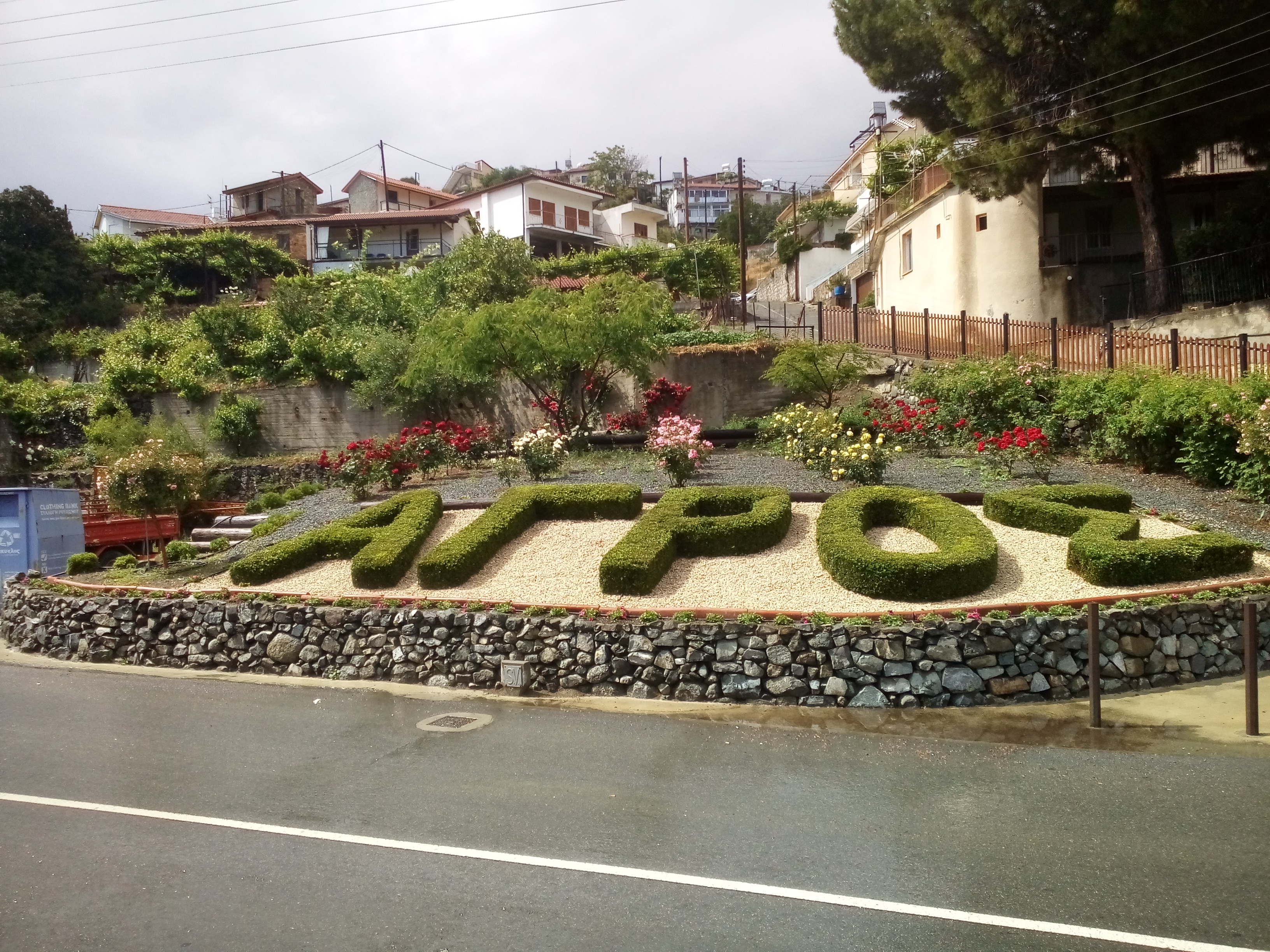
Agros (, ) is a village built on the Troödos Mountains, in the region of Pitsilia, in southwest Cyprus, which has built amphitheatrically among high mountains at an altitude of 1100 metres with a population of approximately 1,000. The village is located 45 minutes away from the cities of Nicosia and Limassol, 20 minutes from Troodos Square and 80 minutes from the List of airports in Cyprus, international airports of Larnaca International Airport, Larnaca and Paphos International Airport, Paphos. Naming The village of Agros was named after the Monastery of Megalos Agros, which was built at the spot where the Church of Panayia of Agros is found today. According to legend, 40 monks from Cyzicus of Asia Minor, during the era of Byzantine Iconoclasm abandoned the Monastery of Megalos Agros and arrived in Cyprus carrying the icon of the Mary, mother of Jesus, Holy Mother. They ended up at the area where Agros is located today, staying in a cave. They built a new m ... [...More Info...] [...Related Items...] OR: [Wikipedia] [Google] [Baidu] |
Bad Kötzting
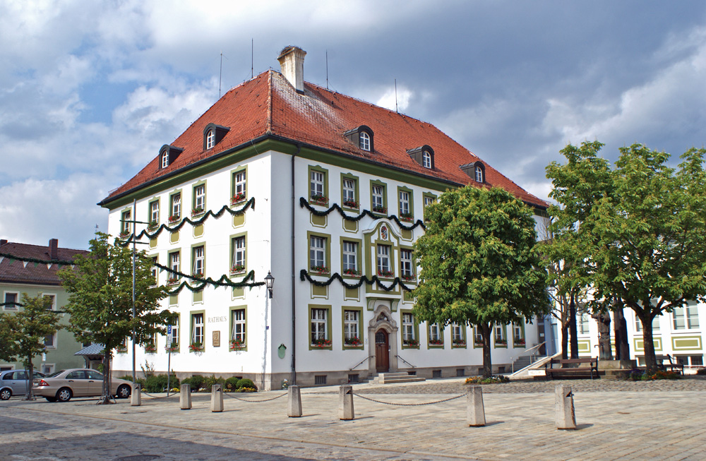
Bad Kötzting (; before 2005: Kötzting; Northern Bavarian: ''Bad Ketzing'') is a town in the district of Cham, in Bavaria, Germany, near the Czech border. It is situated in the Bavarian Forest, southeast of Cham. Overview Bad Kötzting has the charming character of a small town and offers quite a variety of attractions for tourists. The locals pride themselves with having one of the largest mounted religious processions in the world, the "Kötztinger Pfingstritt". Legend has it that in the year 1412, a man who got injured during forestry was asking for the last rites before dying in a village approximately away from Kötzting. The local priest was unable to comply with the wishes of the man because he needed protection from bears, wolves, and other dangers luring along the way. After asking the young men of the village to protect him, they accompanied the priest to the dying man. After a safe journey, the participants vowed to repeat the ride every year. That is how it remained ... [...More Info...] [...Related Items...] OR: [Wikipedia] [Google] [Baidu] |


