|
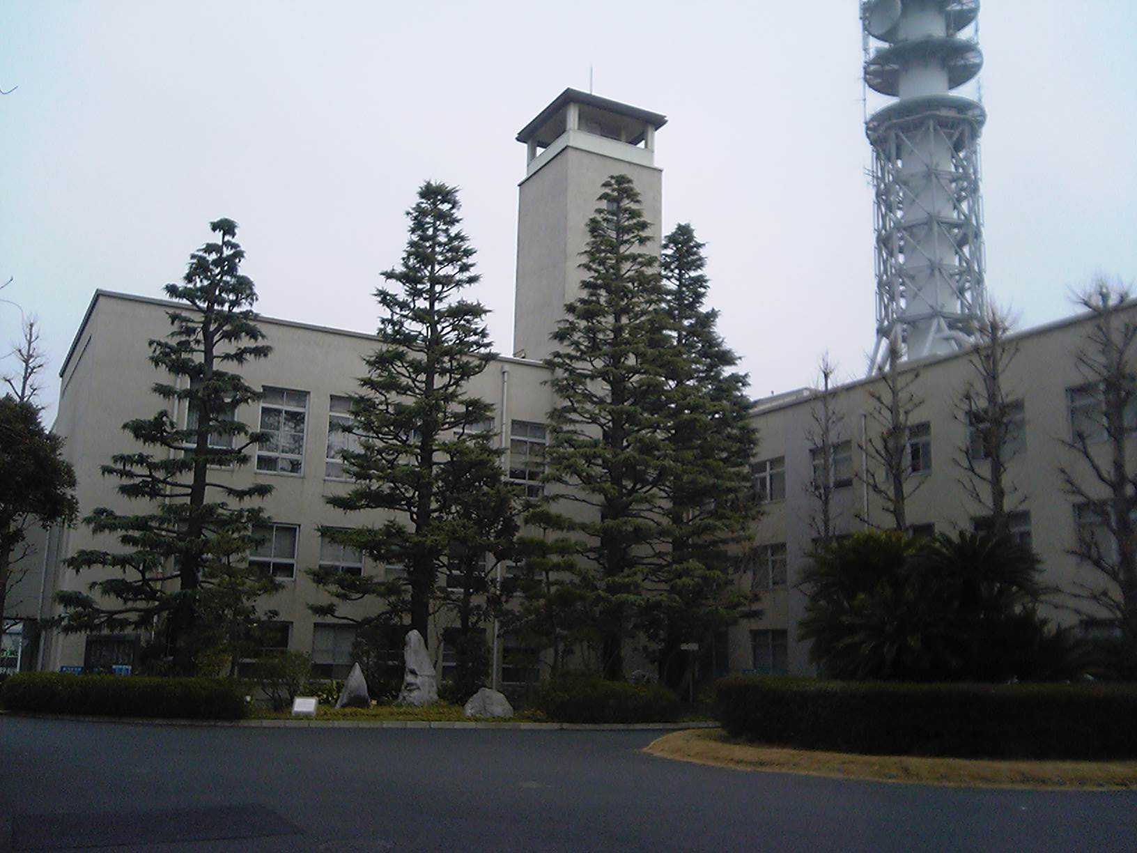
Nichidai
, abbreviated as , is a private research university in Japan. Its predecessor, Nihon Law School (currently the Department of Law), was founded by Yamada Akiyoshi, the Minister of Justice, in 1889. It is one of Japan's leading private universities. The university's name is derived from the Japanese word "Nihon" meaning Japan. Nihon University now has "16 colleges and 87 departments, 20 postgraduate schools, 1 junior college which is composed of 5 departments, 1 correspondence division, 32 research institutes and 3 hospitals." The number of students exceeds 70,000 and is the largest in Japan. University profile Most of the university's campuses are in the Kantō region, the vast majority in Tokyo or surrounding areas, although two campuses are as far away from Tokyo as Shizuoka Prefecture and Fukushima Prefecture. These campuses mostly accommodate single colleges or schools ( in Japanese). In December 2016 the university acquired the former Newcastle Court House in , New South ... [...More Info...] [...Related Items...] OR: [Wikipedia] [Google] [Baidu] |
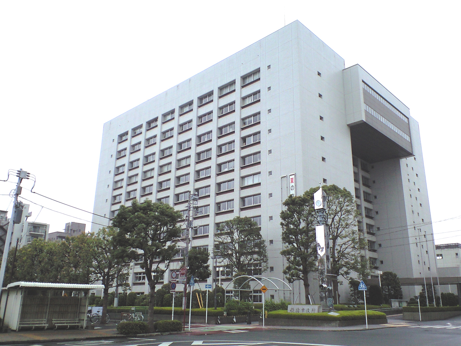
Funabashi, Chiba
is a city located in Chiba Prefecture, Japan. , the city had an estimated population of 644,668 in 309,238 households and a population density of . The total area of the city is . It is the Greater Tokyo Area's 7th most populated city (after passing Kawaguchi, Hachioji and Chiba), and second largest in Chiba Prefecture. Geography Funabashi is located in northwestern Chiba Prefecture approximately 20 kilometers in either direction from the prefectural capital at Chiba and downtown Tokyo. The central area forms a flat diluvial upland of the Shimōsa Plateau. The city sits at an elevation of 20 to 30 meters above sea level, and is relatively flat. The highest point is 32.3 meters in Narashino 3-chome, and the lowest point is 0.2 meters in Minatomachi 1-chome. Funabashi is crossed by the Tone River, and the small Ebi River is located entirely within city limits. Funabashi formerly had wide, shallow beaches, but much of the coast has been industrialized and transformed by recl ... [...More Info...] [...Related Items...] OR: [Wikipedia] [Google] [Baidu] |
Fujisawa, Kanagawa
is a Cities of Japan, city in Kanagawa Prefecture, Japan. , the city had an estimated population of 439,728 and a population density of 6300 persons per km². The total area of the city is . Geography Fujisawa is in the central part of Kanagawa Prefecture. It faces Sagami Bay of the Pacific Ocean. The northern part of the city is on the Sagamino plateau while the southern part is on the Shonan Dunes. Fujisawa has three major topographical features: the island of Enoshima to the south connected to the Katase shoreline area by a road bridge, and two rivers, the Hikiji River, Hikiji and the Sakai River (Tokyo, Kanagawa), Sakai, which run north-south. The Hikiji River, Hikiji can be traced from an area designated as a nature reserve park in the city of Yamato and flows directly along the boundary of the joint US Navy and Japan Maritime Self-Defense Force Naval Air Facility Atsugi, Atsugi Naval Air Base and the United States Army Camp Zama. The Sakai runs directly from the mountains ... [...More Info...] [...Related Items...] OR: [Wikipedia] [Google] [Baidu] |
Photography
Photography is the visual art, art, application, and practice of creating durable images by recording light, either electronically by means of an image sensor, or chemically by means of a light-sensitive material such as photographic film. It is employed in many fields of science, manufacturing (e.g., photolithography), and business, as well as its more direct uses for art, film and video production, recreational purposes, hobby, and Mass communication, mass communication. Typically, a Lens (optics), lens is used to focus (optics), focus the light reflected or emitted from objects into a real image on the light-sensitive surface inside a camera during a timed Exposure (photography), exposure. With an electronic image sensor, this produces an Charge-coupled device, electrical charge at each pixel, which is Image processing, electronically processed and stored in a Image file formats, digital image file for subsequent display or processing. The result with photographic emulsion is ... [...More Info...] [...Related Items...] OR: [Wikipedia] [Google] [Baidu] |
Matsudo, Chiba
260px, Matsudo City Hall is a city in Chiba Prefecture, Japan. , the city had an estimated population of 498,575 in 242,981 households and a population density of 8100 persons per km². The total area of the city is . Geography Matsudo is located in the far northwestern corner of Chiba Prefecture, about 20 to 30 kilometers from the prefectural capital at Chiba and 10 to 20 kilometers from downtown Tokyo. The western border of the city is the Edo River, which flows from north to south, and most of the city is on an alluvial plain with an elevation of only around four meters above sea level, with the eastern end rising to 20 to 30 meters on the Shimōsa Plateau. The city has the approximate dimensions of 11.4 kilometers from east-to-west and 11.6 kilometers from north-to-south. Neighboring municipalities Chiba Prefecture * Ichikawa *Kashiwa * Nagareyama * Kamagaya Saitama Prefecture *Misato Tokyo * Edogawa *Katsushika Climate Matsudo has a Humid subtropical climate (Köppen ' ... [...More Info...] [...Related Items...] OR: [Wikipedia] [Google] [Baidu] |
Itabashi, Tokyo
is a special ward located in Tokyo Metropolis, Japan. In English, it calls itself Itabashi City. Itabashi has sister-city relations with Burlington, Ontario, in Canada; Shijingshan District of Beijing in the People's Republic of China; and Bologna in Italy. As of May 1, 2015, the ward has an estimated population of 547,270, and a population density of 16,990 persons per km2. The total area is 32.22 km2. Geography Itabashi lies on the Kantō plain. The Arakawa River, a major river, forms part of the boundary with Saitama Prefecture. Surrounding the ward are, in Saitama, the cities of Wakō and Toda; and in Tokyo, the wards of Nerima, Toshima, and Kita. Districts and neighborhoods ;Akatsuka Area * Akatsuka * Akatsukashin-chō * Daimon * Misono * Narimasu * Shingashi * Takashimadairaa * Tokumaru * Yotsuba ;Itabashi Area * Chūmaruchō * Fujimichō * Futabamachi * Hikawamachi * Honchō * Inaridai * Itabashi * Kaga * Kumanomachi * Minamimachi * Nakaitabashi * Nakajuku ... [...More Info...] [...Related Items...] OR: [Wikipedia] [Google] [Baidu] |
Narashino, Chiba
is a city located in Chiba Prefecture, Japan. , the city had an estimated population of 175,292 in 81,985 households and a population density of 8400 persons per km². The total area of the city is Geography Narashino is located in far northwestern Chiba Prefecture, bordered by Tokyo Bay to the southwest, and the prefectural capital of Chiba to the east. It is approximately 20 to 30 kilometers from central Tokyo. The city is located on the Shimōsa Plateau and reclaimed land fill on Tokyo Bay, with a large difference in elevation from the inland area to the coastal area. Surrounding municipalities Chiba Prefecture * Chiba *Funabashi * Yachiyo Climate Narashino has a humid subtropical climate (Köppen ''Cfa'') characterized by warm summers and cool winters with light to no snowfall. The average annual temperature in Narashino is 15.4 °C. The average annual rainfall is 1410 mm with September as the wettest month. The temperatures are highest on average in August ... [...More Info...] [...Related Items...] OR: [Wikipedia] [Google] [Baidu] |
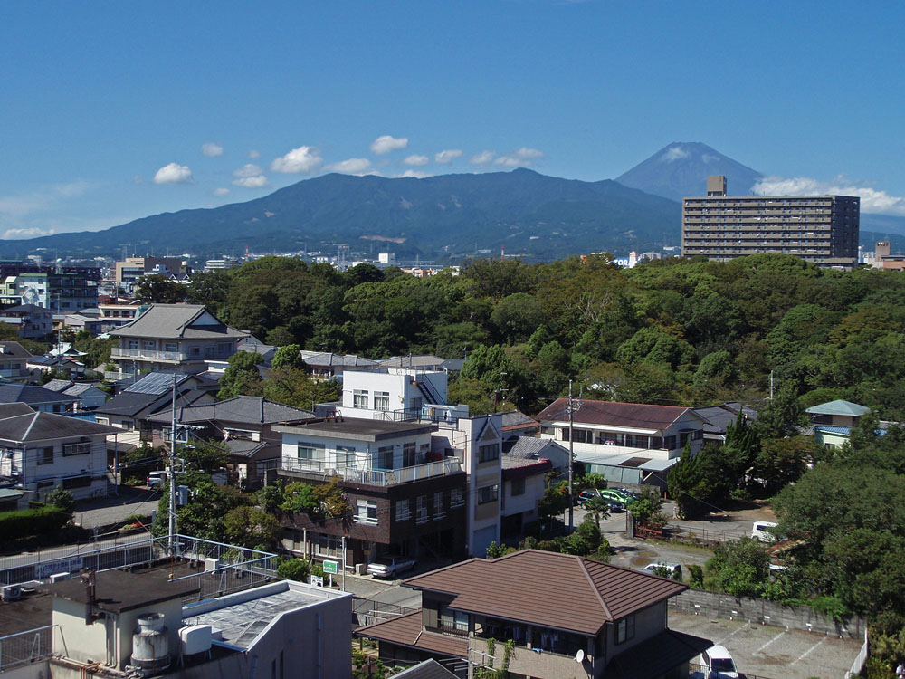
Mishima, Shizuoka
Mishima City Hall is a city located in eastern Shizuoka Prefecture, Japan. , the city had an estimated population of 109,803 in 49,323 households, and a population density of 1800 persons per km². The total area of the city is . Geography Mishima is located in far eastern Shizuoka Prefecture, at the northern end of Izu Peninsula and in the foothills of Mount Fuji. Surrounding municipalities *Shizuoka Prefecture ** Numazu ** Susono ** Kannami ** Shimizu ** Nagaizumi *Kanagawa Prefecture **Hakone Demographics Per Japanese census data, the population of Mishima has remained stable over the past 25 years. Climate Mishima has a humid subtropical climate (Köppen climate classification ''Cfa'') with hot summers and cool winters. Precipitation is significant throughout the year, but is heaviest from June to September. The average annual temperature in Mishima is . The average annual rainfall is with September as the wettest month. The temperatures are highest on average in A ... [...More Info...] [...Related Items...] OR: [Wikipedia] [Google] [Baidu] |
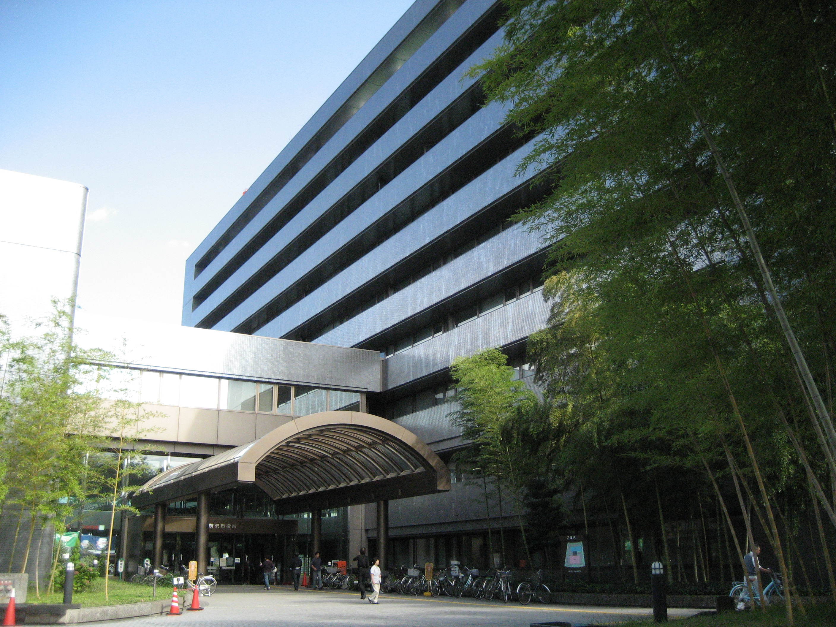
Tokorozawa, Saitama
is a city located in Saitama Prefecture, Japan. , the city had an estimated population of 344,194 in 163,675 households and a population density of 4800 persons per km². The total area of the city is . Geography Tokorozawa is located in the central part of the Musashino Terrace in southern Saitama, about 30 km west of central Tokyo. Tokorozawa can be considered part of the greater Tokyo area; its proximity to the latter and lower housing costs make it a popular bedroom community. The Higashikawa and Yanasegawa rivers that flow from the Sayama Hills flow to the eastern part of the city, and finally reach the Arakawa River. The Yamaguchi Reservoir (commonly known as Lake Sayama) is mostly located within city boundaries; Lake Tama also touches the south-western part of the city. The area around Tokorozawa Station's west exit is built up as a shopping district with several department stores. Prope Street is a popular shopping arcade. Surrounding municipalities * Saitama ... [...More Info...] [...Related Items...] OR: [Wikipedia] [Google] [Baidu] |
Nerima, Tokyo
is a special ward in Tokyo, Japan. The ward refers to itself as Nerima City. , the ward has an estimated population of 721,858, with 323,296 households and a population density of 15,013 persons per km2, while 15,326 foreign residents are registered and 21.6% of the ward's population is over the age of 65. The total area is 48.08 km2. Districts and neighborhoods ;Kamiitabashi Area * Asahigaoka * Kotakechō ;Kaminerima Area * Asahimachi * Doshida * Hikarigaoka * Kasugacho * Mukōyama * Nukui * Tagara * Takamatsu ;Nakaarai Area * Nakamura * Nakamurakita * Nakamuraminami * Toyotamakami * Toyotamakita * Toyotamaminami * Toyotamanaka ;Nerima Area * Hayamiya * Hazawa * Heiwadai * Hikawadai * Kitamachi * Nerima * Nishiki * Sakaemachi * Sakuradai ;Ōizumi Area * Higashiōizumi * Minamiōizumi * Nishiōizumi * Nishiōizumimachi * Ōizumichō * Ōizumigakuen-chō ;Shakujii Area * Fujimidai * Kamishakujii * Kamishakujiiminami-chō * Miharadai * Minamitanaka * Sekimachikita * ... [...More Info...] [...Related Items...] OR: [Wikipedia] [Google] [Baidu] |
Nihon Univ College Of Art Tokyo Japan 20110628
Japan ( ja, 日本, or , and formally , ''Nihonkoku'') is an island country in East Asia. It is situated in the northwest Pacific Ocean, and is bordered on the west by the Sea of Japan, while extending from the Sea of Okhotsk in the north toward the East China Sea, Philippine Sea, and Taiwan in the south. Japan is a part of the Ring of Fire, and spans an archipelago of 6852 islands covering ; the five main islands are Hokkaido, Honshu (the "mainland"), Shikoku, Kyushu, and Okinawa. Tokyo is the nation's capital and largest city, followed by Yokohama, Osaka, Nagoya, Sapporo, Fukuoka, Kobe, and Kyoto. Japan is the eleventh most populous country in the world, as well as one of the most densely populated and urbanized. About three-fourths of the country's terrain is mountainous, concentrating its population of 123.2 million on narrow coastal plains. Japan is divided into 47 administrative prefectures and eight traditional regions. The Greater Tokyo Area is the most p ... [...More Info...] [...Related Items...] OR: [Wikipedia] [Google] [Baidu] |
Setagaya, Tokyo
is a special ward in Tokyo, Japan. It is also the name of a neighborhood and administrative district within the ward. The ward calls itself Setagaya City in English. Its official bird is the azure-winged magpie, its flower is the fringed orchid, and its tree is the '' Zelkova serrata''. Setagaya has the largest population and second largest area (after Ōta) of Tokyo's special wards. As of January 1, 2020, the ward has an estimated population of 939,099, and a population density of 16,177 persons per km² with the total area of 58.06 km². Geography Setagaya is located at the southwestern corner of the Tokyo's special wards and the Tama River separates the boundary between Tokyo Metropolis and Kanagawa Prefecture. Residential population is among the highest in Tokyo as there are many residential neighbourhoods within Setagaya. Setagaya is served by various rail services providing frequent 2 to 3 minutes headway rush hour services to the busiest train terminals of Sh ... [...More Info...] [...Related Items...] OR: [Wikipedia] [Google] [Baidu] |


