|
New York Statistical Areas
The U.S. state of New York (state), New York currently has 34 statistical area (United States), statistical areas that have been delineated by the Office of Management and Budget (OMB). On July 21, 2023, the OMB delineated seven combined statistical areas, 13 metropolitan statistical areas and 14 micropolitan statistical areas in . As of 2023, the largest of these is the New York-Newark, NY-NJ-CT-PA CSA, which includes New York City and its surrounding suburbs; with over 21 million people, it is the largest primary statistical area in the United States. __TOC__ Table Core-based statistical areas The following table provides the in-state population ranking of each CBSA along with its rate of population change over time. Combined statistical areas The following table provides the in-state population ranking of each CSA along with its rate of population change over time. See also *Geography of New York (state) **Demographics of New York (state) Notes References ... [...More Info...] [...Related Items...] OR: [Wikipedia] [Google] [Baidu] |
New York (state)
New York, also called New York State, is a U.S. state, state in the northeastern United States. Bordered by New England to the east, Canada to the north, and Pennsylvania and New Jersey to the south, its territory extends into both the Atlantic Ocean and the Great Lakes. New York is the List of U.S. states and territories by population, fourth-most populous state in the United States, with nearly 20 million residents, and the List of U.S. states and territories by area, 27th-largest state by area, with a total area of . New York has Geography of New York (state), a varied geography. The southeastern part of the state, known as Downstate New York, Downstate, encompasses New York City, the List of U.S. cities by population, most populous city in the United States; Long Island, with approximately 40% of the state's population, the nation's most populous island; and the cities, suburbs, and wealthy enclaves of the lower Hudson Valley. These areas are the center of the expansive New ... [...More Info...] [...Related Items...] OR: [Wikipedia] [Google] [Baidu] |
Nassau County, New York
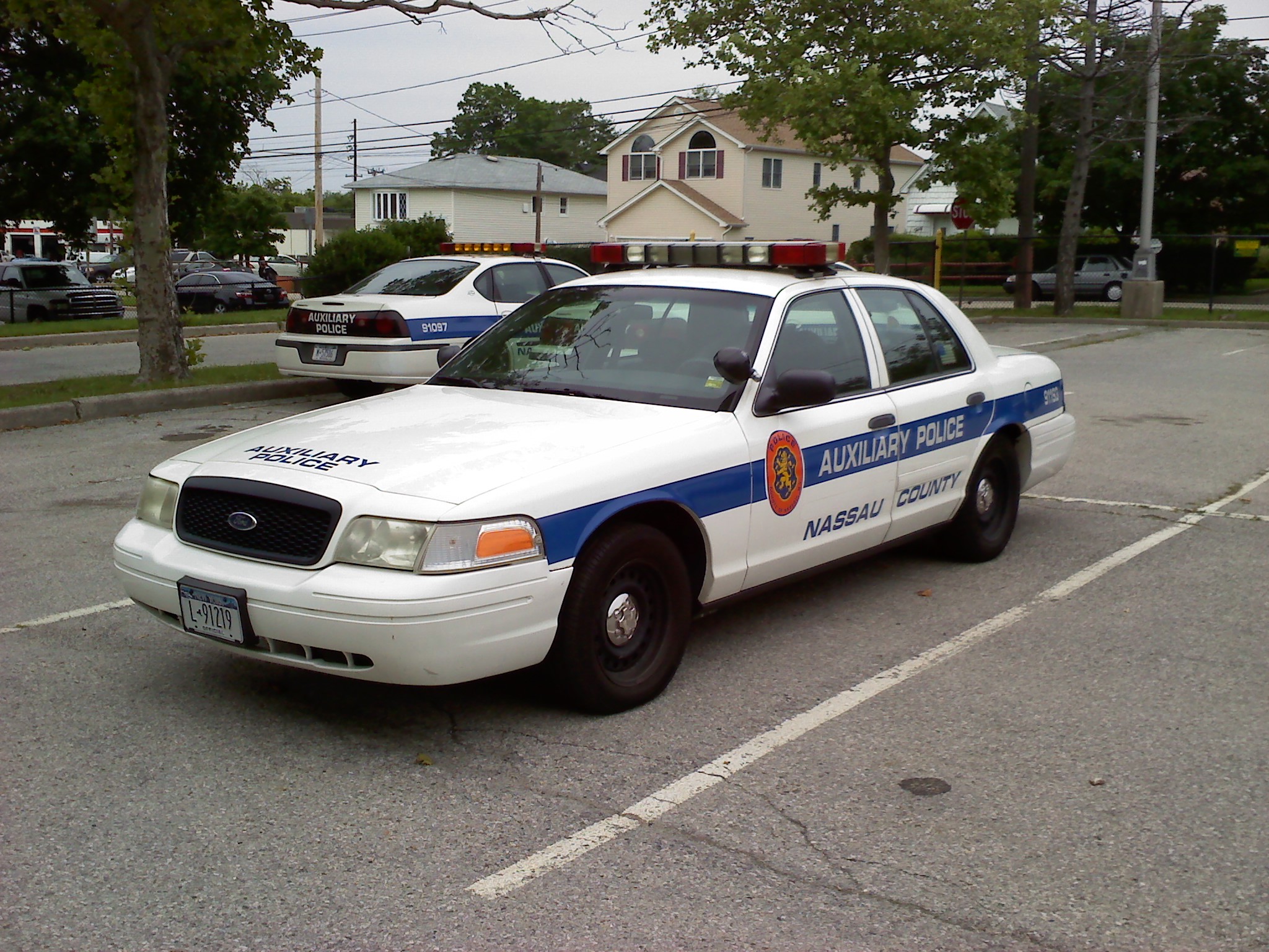
Nassau County ( ) is a suburban County (United States), county located on Long Island, immediately to the east of New York City, bordering the Long Island Sound on the north and the open Atlantic Ocean to the south. As of the 2020 United States census, Nassau County's population was 1,395,774, making it the sixth-most populous county in the State of New York, and reflecting an increase of 56,242 (+4.2%) from the 1,339,532 residents enumerated at the 2010 United States census, 2010 census. Its county seat is Mineola, New York, Mineola, while the county's largest and most populous town is Hempstead, New York, Hempstead. Situated on western Long Island, the County of Nassau borders New York City's Boroughs of New York City, borough of Queens to its west, and Long Island's Suffolk County, New York, Suffolk County to its east. It is the most densely populated and second-most populous county in the State of New York outside of New York City, with which it maintains extensive commu ... [...More Info...] [...Related Items...] OR: [Wikipedia] [Google] [Baidu] |
Suffolk County, New York
Suffolk County ( ) is the easternmost county in the U.S. state of New York, constituting the eastern two-thirds of Long Island. It is bordered to its west by Nassau County, to its east by Gardiners Bay and the open Atlantic Ocean, to its north by Long Island Sound, and to its south by the Atlantic Ocean. As of the 2020 United States census, the county's population was 1,525,920, its highest decennial count ever, making Suffolk the fourth-most populous county in the State of New York, and the most populous outside of the boroughs of New York City. Its county seat is Riverhead, though most county offices are in Hauppauge. The county was named after the county of Suffolk in England, the origin of its earliest European settlers. Suffolk County incorporates the easternmost extreme of both the New York City metropolitan area and New York State. The geographically largest of Long Island's four counties and the second-largest of New York's 62 counties, Suffolk County is in len ... [...More Info...] [...Related Items...] OR: [Wikipedia] [Google] [Baidu] |
Putnam County, New York
Putnam County is a County (New York), county in the U.S. state of New York (state), New York. As of the 2020 United States census, 2020 census, the population was 97,668. The county seat is Carmel (hamlet), New York, Carmel, within one of the county's six towns. The county is part of the Hudson Valley region of the state. Putnam County is bordered by Dutchess County to the north, Connecticut and its county of Fairfield County, Connecticut, Fairfield to the east, Westchester County, New York, Westchester County to the south, and the Hudson River and Orange County, New York, Orange County to the west. Midtown Manhattan is around a one-hour drive, and the county is included in the New York metropolitan area. Putnam County was formed in 1812 from Dutchess County and is named for Israel Putnam, a hero in the French and Indian War and a general in the American Revolutionary War. It is one of the most affluent counties in America, ranked 21st by Highest-income counties in the Uni ... [...More Info...] [...Related Items...] OR: [Wikipedia] [Google] [Baidu] |
Rockland County, New York
Rockland County is the southernmost county on the west side of the Hudson River in the U.S. state of New York. It is part of the New York metropolitan area. As of the 2020 U.S. census, the county's population is 338,329, making it the state's third-most densely populated county outside New York City after Nassau and neighboring Westchester counties. The county seat and largest hamlet is New City. Rockland County is accessible via both the New York State Thruway, which crosses the Hudson River to Westchester via the Tappan Zee Bridge over the Tappan Zee, ten exits up from the NYC border; and the Palisades Parkway, four exits up, via the George Washington Bridge. The county's name derives from "rocky land", as the area has been aptly described, largely due to the Hudson River Palisades. The county is part of the Hudson Valley region of the state. Rockland County is the smallest county by area in New York outside New York City. It comprises five towns, eighteen incorpora ... [...More Info...] [...Related Items...] OR: [Wikipedia] [Google] [Baidu] |


