|
New Mexico Campaign
The New Mexico campaign was a military operation of the trans-Mississippi theater of the American Civil War from February to April 1862 in which Confederate Brigadier General Henry Hopkins Sibley invaded the northern New Mexico Territory in an attempt to gain control of the Southwest, including the gold fields of Colorado and the ports of California. Historians regard this campaign as the most ambitious Confederate attempt to establish control of the American West and to open an additional theater in the war. It was an important campaign in the war's Trans-Mississippi Theater, and one of the major events in the history of the New Mexico Territory in the American Civil War. The Confederates advanced north along the Rio Grande from Fort Bliss in Texas. They won the Battle of Valverde but failed to capture Fort Craig or force the surrender of the main Union Army in the territory. They continued north across the border towards Santa Fe and Fort Union, leaving that Union for ... [...More Info...] [...Related Items...] OR: [Wikipedia] [Google] [Baidu] |
Battle Of Glorieta Pass
The Battle of Glorieta Pass was fought March 26–28, 1862, in the northern New Mexico Territory, by Union Army, Union and Confederate States Army, Confederate forces during the American Civil War. While not the largest battle of the New Mexico campaign, the Battle of Glorieta Pass ended the Confederacy's efforts to capture the territory and other parts of the western United States. The battle took place at the Glorieta Pass, eponymous mountain pass in the Sangre de Cristo Mountains, in what is now Santa Fe County, New Mexico, Santa Fe County, New Mexico. Confederate States of America, Confederate forces sought to break the Union (American Civil War), Union's possession of the West along the base of the Rocky Mountains, with the ultimate aim of controlling strategically valuable mines, railroads, and cities throughout the region. The invasion was the westernmost military operation of the war, and the South's only real attempt to conquer and occupy Union territory. A skirmish o ... [...More Info...] [...Related Items...] OR: [Wikipedia] [Google] [Baidu] |
California
California () is a U.S. state, state in the Western United States that lies on the West Coast of the United States, Pacific Coast. It borders Oregon to the north, Nevada and Arizona to the east, and shares Mexico–United States border, an international border with the Mexico, Mexican state of Baja California to the south. With almost 40million residents across an area of , it is the List of states and territories of the United States by population, largest state by population and List of U.S. states and territories by area, third-largest by area. Prior to European colonization of the Americas, European colonization, California was one of the most culturally and linguistically diverse areas in pre-Columbian North America. European exploration in the 16th and 17th centuries led to the colonization by the Spanish Empire. The area became a part of Mexico in 1821, following Mexican War of Independence, its successful war for independence, but Mexican Cession, was ceded to the U ... [...More Info...] [...Related Items...] OR: [Wikipedia] [Google] [Baidu] |
Rocky Mountains
The Rocky Mountains, also known as the Rockies, are a major mountain range and the largest mountain system in North America. The Rocky Mountains stretch in great-circle distance, straight-line distance from the northernmost part of Western Canada, to New Mexico in the Southwestern United States. Depending on differing definitions between Canada and the U.S., its northern terminus is located either in northern British Columbia's Terminal Range south of the Liard River and east of Rocky Mountain Trench, the Trench, or in the northeastern foothills of the Brooks Range/British Mountains that face the Beaufort Sea coasts between the Canning River (Alaska), Canning River and the Firth River across the Alaska-Yukon border. Its southernmost point is near the Albuquerque metropolitan area, Albuquerque area adjacent to the Rio Grande rift and north of the Sandia–Manzano Mountains, Sandia–Manzano Mountain Range. Being the easternmost portion of the North American Cordillera, the Rockie ... [...More Info...] [...Related Items...] OR: [Wikipedia] [Google] [Baidu] |
Great Plains
The Great Plains is a broad expanse of plain, flatland in North America. The region stretches east of the Rocky Mountains, much of it covered in prairie, steppe, and grassland. They are the western part of the Interior Plains, which include the mixed grass prairie, the tallgrass prairie between the Great Lakes and Appalachian Plateau, and the Taiga Plains Ecozone, Taiga Plains and Boreal Plains Ecozone, Boreal Plains ecozones in Northern Canada. "Great Plains", or Western Plains, is also the ecoregion of the Great Plains or the western portion of the Great Plains, some of which in the farthest west is known as the High Plains. The Great Plains lie across both the Central United States and Western Canada, encompassing: *Most or all of the U.S. states of Kansas, Nebraska, and North Dakota, North and South Dakota; *Eastern parts of the U.S. states of Colorado, Montana, and Wyoming; *Parts of the U.S. states of New Mexico, Oklahoma, Texas; *Sometimes western parts of Iowa, Minnesot ... [...More Info...] [...Related Items...] OR: [Wikipedia] [Google] [Baidu] |
American Indian Wars
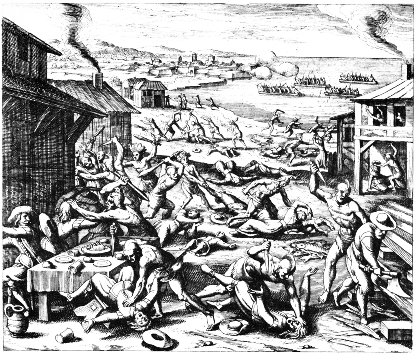
The American Indian Wars, also known as the American Frontier Wars, and the Indian Wars, was a conflict initially fought by European colonization of the Americas, European colonial empires, the United States, and briefly the Confederate States of America and Republic of Texas against various Tribe (Native American), American Indian tribes in North America. These conflicts occurred from the time of the earliest colonial settlements in the 17th century until the end of the 19th century. The various wars resulted from a wide variety of factors, the most common being the desire of settlers and governments for Indian tribes' lands. The European powers and their colonies enlisted allied Indian tribes to help them conduct warfare against each other's colonial settlements. After the American Revolution, many conflicts were local to specific states or regions and frequently involved disputes over land use; some entailed cycles of violent reprisal. As American pioneer, American settlers s ... [...More Info...] [...Related Items...] OR: [Wikipedia] [Google] [Baidu] |
Fort Union National Monument
Fort Union National Monument is a unit of the United States National Park Service located 7.7 miles north of Watrous in Mora County, New Mexico. The site preserves the remains of three forts that were built starting in the 1850s. Also visible at Fort Union and from the road leading to it are ruts from the Mountain and Cimarron Branches of the old Santa Fe Trail. The monument has a visitor center containing a historical museum and showing a film about the fort’s history. A self-guiding trail leads through remains of the second and third forts. Ruins of the ordnance depot and site of the first fort are visible across the valley to the west. The monument is open 8:00 am to 4:00 pm throughout the year except Thanksgiving (fourth Thursday of November), Christmas Day (December 25), and New Year’s Day (January 1). Admission is free. Description by William Davis Santa Fe trader and author William Davis gave his first impression of the fort in 1857: Fort Union, a hundred and ten ... [...More Info...] [...Related Items...] OR: [Wikipedia] [Google] [Baidu] |
Santa Fe, New Mexico
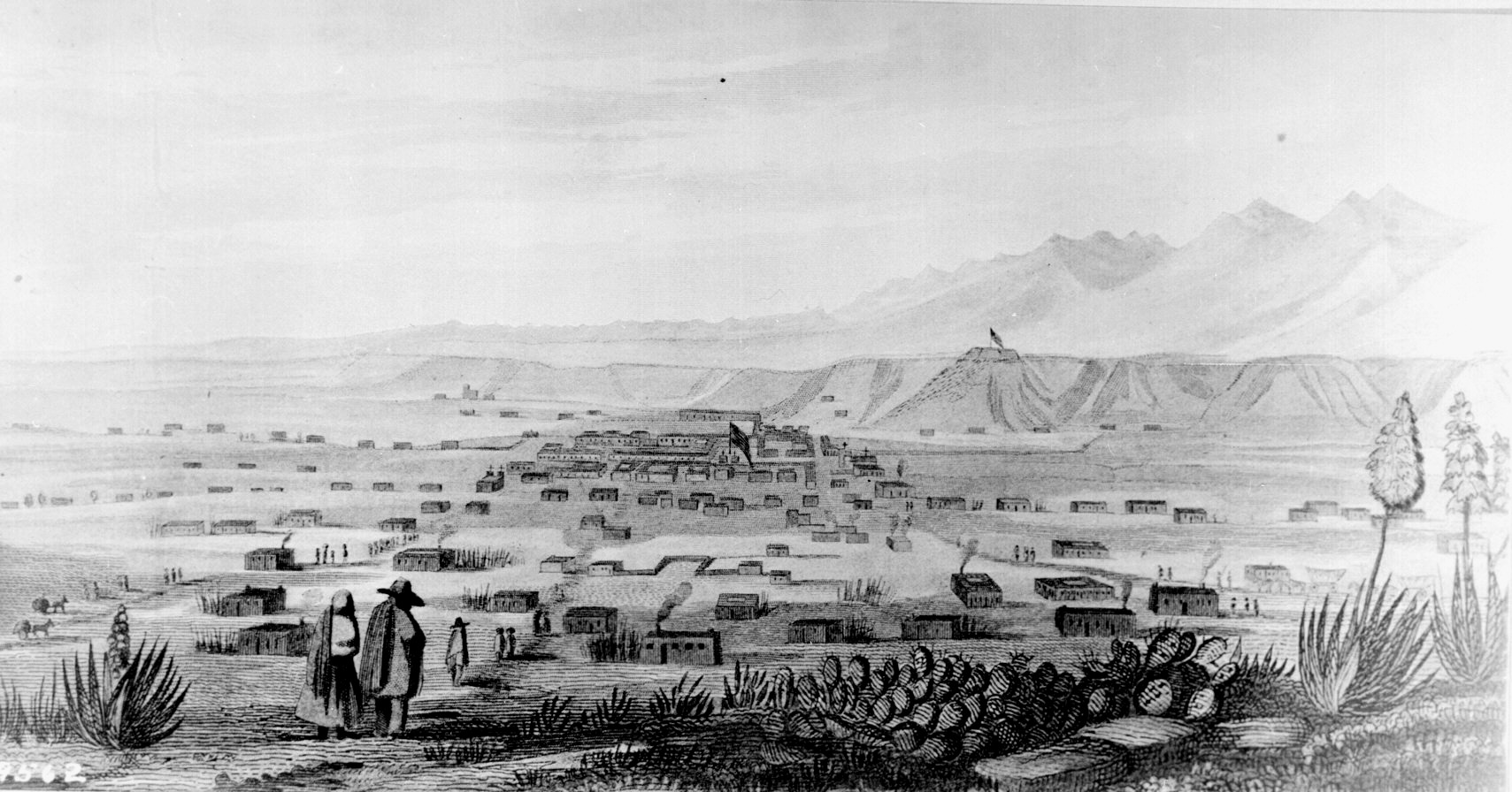
Santa Fe ( ; , literal translation, lit. "Holy Faith") is the capital city, capital of the U.S. state of New Mexico, and the county seat of Santa Fe County. With over 89,000 residents, Santa Fe is the List of municipalities in New Mexico, fourth-most populous city in the state and the principal city of the Santa Fe metropolitan statistical area, which had 154,823 residents in 2020. Santa Fe is the third-largest city in the Albuquerque, New Mexico, Albuquerque–Santa Fe–Los Alamos, New Mexico, Los Alamos Albuquerque–Santa Fe–Los Alamos combined statistical area, combined statistical area, which had a population of 1,162,523 in 2020. Situated at the foothills of the Sangre de Cristo Mountains, the city is at the highest altitude of any U.S. state capital, with an elevation of 6,998 feet (2,133 m). Founded in 1610 as the capital of ', a province of New Spain, Santa Fe is the oldest List of capitals in the United States, state capital in the United States and the earliest E ... [...More Info...] [...Related Items...] OR: [Wikipedia] [Google] [Baidu] |
Fort Craig
Fort Craig was a U.S. Army fort located along El Camino Real de Tierra Adentro, near Elephant Butte Lake State Park and the Rio Grande in Socorro County, New Mexico. The Fort Craig site was approximately 1,050 feet east-west by 600 feet north-south (320 by 180 m) and covered 40 acres (16 hectares). History Before Fort Craig The 1848 Treaty of Guadalupe Hidalgo called for the construction of a series of forts along the new boundaries between Mexico and the United States. Apaches and other Native American groups were reportedly harassing settlers and travelers on both sides of the border. The attacks by the tribes from U.S. territory into Mexico was a problem the U.S. government was obligated to address under the treaty. In 1849, an initial garrison was established at Socorro, New Mexico, whose name can be translated as "safety." A fort called Fort Conrad was then established in 1851 on the west bank of the Rio Grande near Valverde Creek. This was near the north end of the J ... [...More Info...] [...Related Items...] OR: [Wikipedia] [Google] [Baidu] |
Battle Of Valverde
The Battle of Valverde, also known as the Battle of Valverde Ford, was fought from February 20 to 21, 1862, near the town of Val Verde at a Ford (crossing), ford of the Rio Grande in Union (American Civil War), Union-held New Mexico Territory, in what is today the state of New Mexico. It is considered a major Confederate States of America, Confederate success in the New Mexico Campaign of the American Civil War, despite the invading force abandoning the field. The belligerents were Confederate cavalry from Texas and several companies of Arizona militia versus U.S. Army regulars and Union volunteers from northern New Mexico Territory and the Colorado Territory. Background Confederate brigadier general Henry Hopkins Sibley envisioned invading New Mexico with his army, defeating Union forces, capturing the capital city of Santa Fe, New Mexico, Santa Fe, and then marching westward to conquer California for the Confederacy. Sibley's first step was to gather an army in El Paso, T ... [...More Info...] [...Related Items...] OR: [Wikipedia] [Google] [Baidu] |
Texas
Texas ( , ; or ) is the most populous U.S. state, state in the South Central United States, South Central region of the United States. It borders Louisiana to the east, Arkansas to the northeast, Oklahoma to the north, New Mexico to the west, and has Mexico-United States border, an international border with the Mexican states of Chihuahua (state), Chihuahua, Coahuila, Nuevo León, and Tamaulipas to the south and southwest. Texas has Texas Gulf Coast, a coastline on the Gulf of Mexico to the southeast. Covering and with over 31 million residents as of 2024, it is the second-largest state List of U.S. states and territories by area, by area and List of U.S. states and territories by population, population. Texas is nicknamed the ''Lone Star State'' for its former status as the independent Republic of Texas. Spain was the first European country to Spanish Texas, claim and control Texas. Following French colonization of Texas, a short-lived colony controlled by France, Mexico ... [...More Info...] [...Related Items...] OR: [Wikipedia] [Google] [Baidu] |
Fort Bliss
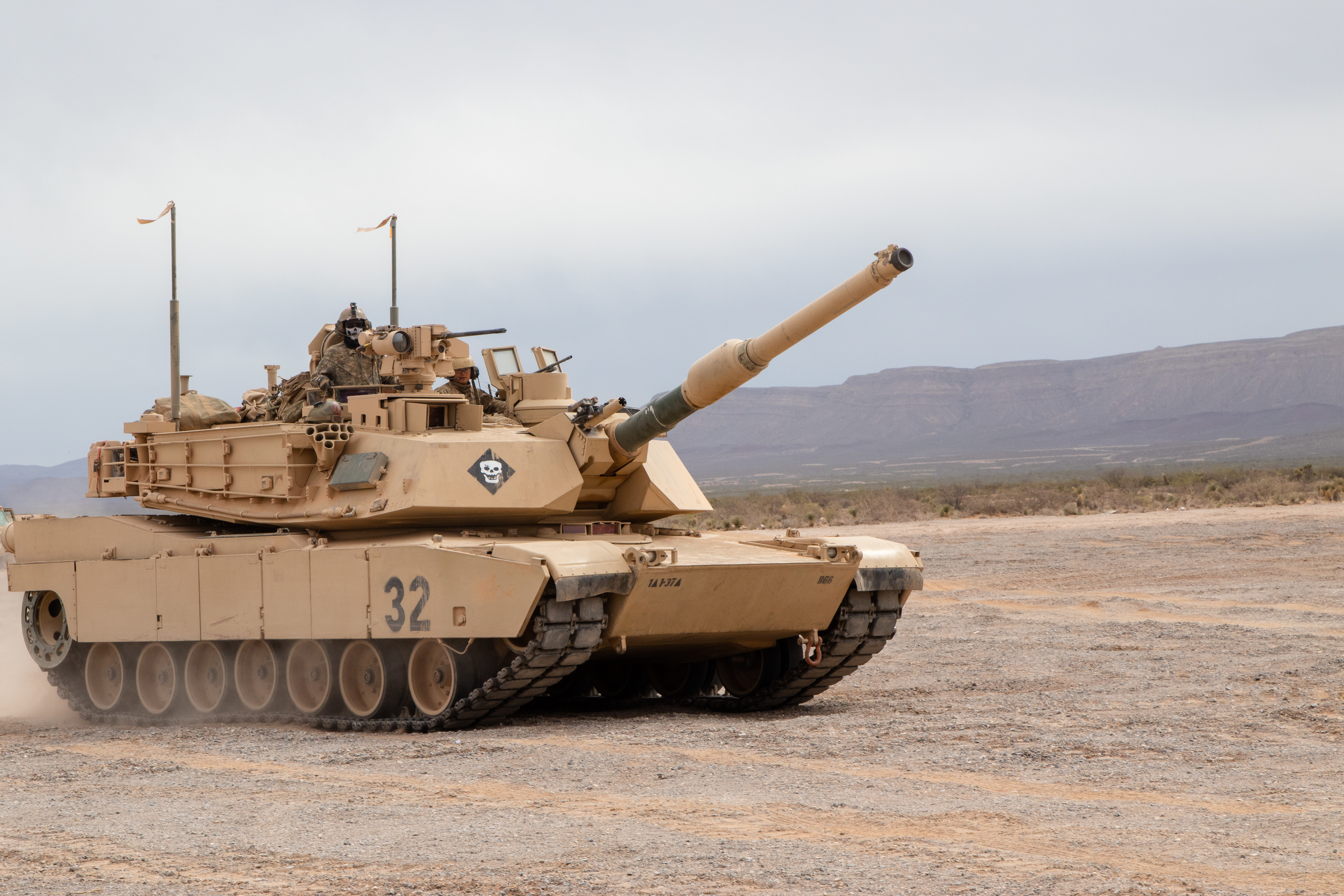
Fort Bliss is a United States Army post in New Mexico and Texas, with its headquarters in El Paso, Texas. Established in 1848, the fort was renamed in 1854 to honor William Wallace Smith Bliss, Bvt.Lieut.Colonel William W.S. Bliss (1815–1853), U.S. Army officer, Private Secretary and son-in-law of President Zachary Taylor. Fort Bliss has an area of about . It is the largest installation in FORSCOM (United States Army Forces Command) and second-largest in the Army overall, the largest being the adjacent White Sands Missile Range. The portion of the post located in El Paso County, Texas, is a census-designated place with a population of 8,591 in the 2010 United States census, 2010 census. Fort Bliss provides the largest contiguous tract () of restricted airspace in the Continental United States, used for missile and artillery training and testing, and at has the largest maneuver area, ahead of the Fort Irwin National Training Center, National Training Center, which has . The ... [...More Info...] [...Related Items...] OR: [Wikipedia] [Google] [Baidu] |


