|
Neu-Bamberg
Neu-Bamberg is an ''Ortsgemeinde (Germany), Ortsgemeinde'' – a Municipalities of Germany, municipality belonging to a ''Verbandsgemeinde'', a kind of collective municipality – in the Bad Kreuznach (district), Bad Kreuznach district in Rhineland-Palatinate, Germany. It belongs to the Bad Kreuznach (Verbandsgemeinde), ''Verbandsgemeinde'' of Bad Kreuznach, whose seat is in the Bad Kreuznach, like-named town, although this lies outside the ''Verbandsgemeinde''. Neu-Bamberg is a winegrowing village. Geography Location Neu-Bamberg lies in the ''Rheinhessische Schweiz'' (Rhenish-Hessian Switzerland) at the edge of the North Palatine Uplands. The land is hilly and characterized by a mild climate. Flowing through the village is the Appelbach, which once drove three mills in Neu-Bamberg. Of the three Quarry, quarries that were once found in the village, one is still in business. Neu-Bamberg's elevation, as measured at its defining landmark, the ''Kandelpforte'' (clocktower), is 157.23 ... [...More Info...] [...Related Items...] OR: [Wikipedia] [Google] [Baidu] |
Fürfeld
Fürfeld is an ''Ortsgemeinde (Germany), Ortsgemeinde'' – a Municipalities of Germany, municipality belonging to a ''Verbandsgemeinde'', a kind of collective municipality – in the Bad Kreuznach (district), Bad Kreuznach Districts of Germany, district in Rhineland-Palatinate, Germany. It belongs to the Bad Kreuznach (Verbandsgemeinde), ''Verbandsgemeinde'' of Bad Kreuznach, whose seat is in the Bad Kreuznach, like-named town, although this lies outside the ''Verbandsgemeinde''. Geography Location Fürfeld lies, like Frei-Laubersheim and Neu-Bamberg, in the ''Rheinhessische Schweiz'' – Rhenish-Hessian Switzerland – a recreational region, and at the same time it is within Germany's biggest winegrowing region. The village's midpoint is the so-called "Römer" ("Roman"). The village itself is found in the east of the Bad Kreuznach district. The municipal area borders on the neighbouring Alzey-Worms district and the Donnersbergkreis. With regard to physical geography, F� ... [...More Info...] [...Related Items...] OR: [Wikipedia] [Google] [Baidu] |
Frei-Laubersheim
Frei-Laubersheim is an '' Ortsgemeinde'' – a municipality belonging to a ''Verbandsgemeinde'', a kind of collective municipality – in the Bad Kreuznach district in Rhineland-Palatinate, Germany. It belongs to the ''Verbandsgemeinde'' of Bad Kreuznach, whose seat is in the like-named town, although this lies outside the ''Verbandsgemeinde''. Frei-Laubersheim is a winegrowing village. Geography Location Frei-Laubersheim lies, like Fürfeld and Neu-Bamberg, in the ''Rheinhessische Schweiz'' – Rhenish-Hessian Switzerland – a recreational region. The village lies roughly 7 km from the gates of the spa town and district seat of Bad Kreuznach and is framed by some 125 ha of vineyards and 313 ha of wooded land bordering on Bad Kreuznach's municipal forest at Forsthaus (“forester’s house”) Spreitel. Neighbouring municipalities Clockwise from the north, Frei-Laubersheim's neighbours are the municipalities of Hackenheim, Volxheim, Wöllstein, Neu-B ... [...More Info...] [...Related Items...] OR: [Wikipedia] [Google] [Baidu] |
Bad Kreuznach (Verbandsgemeinde)
Bad Kreuznach is a ''Verbandsgemeinde'' ("collective municipality") in the district of Bad Kreuznach, Rhineland-Palatinate, Germany. The seat of the ''Verbandsgemeinde'' is in the town Bad Kreuznach, itself not part of the ''Verbandsgemeinde''. The municipalities lie south and east of the town of Bad Kreuznach. The entire ''Verbandsgemeinde'' is 73.7 square kilometers large and has about 9,000 inhabitants. The ''Verbandsgemeinde'' Bad Kreuznach consists of the following ''Ortsgemeinden'' ("local municipalities"): # Altenbamberg # Biebelsheim # Feilbingert # Frei-Laubersheim # Fürfeld # Hackenheim # Hallgarten # Hochstätten # Neu-Bamberg # Pfaffen-Schwabenheim # Pleitersheim # Tiefenthal # Volxheim Volxheim is a municipality in the district of Bad Kreuznach in Rhineland-Palatinate, in western Germany. It is situated 7 km south-east of Bad Kreuznach Bad Kreuznach () is a town in the Bad Kreuznach (district), Bad Kreuznach district in Rhi ... External linksVerband ... [...More Info...] [...Related Items...] OR: [Wikipedia] [Google] [Baidu] |
Siefersheim
Siefersheim is an ''Ortsgemeinde'' – a municipality belonging to a ''Verbandsgemeinde'', a kind of collective municipality – in the Alzey-Worms district in Rhineland-Palatinate, Germany. Geography Location The municipality lies at Rhenish Hesse’s western edge and belongs to the ''Verbandsgemeinde'' of Wöllstein, whose seat is in the like-named municipality. Neighbouring municipalities Siefersheim’s neighbours are Wonsheim, Wöllstein, Eckelsheim, Gumbsheim and Neu-Bamberg. Politics Municipal council The council is made up of 16 council members, who were elected by majority vote at the municipal election held on 7 June 2009, and the honorary mayor as chairman. Mayor The current mayor is Annerose Kinder. Coat of arms The municipality’s arms might be described thus: Per pale argent a tower gules, in base a bunch of grapes vert, and sable a lion rampant Or armed, langued and crowned gules. Economy and infrastructure Siefersheim is characterized by ... [...More Info...] [...Related Items...] OR: [Wikipedia] [Google] [Baidu] |
Rhenish-Hessian Switzerland
Rhenish-Hessian Switzerland () is a protected landscape and recreation area in the southwest of the German region of Rhenish Hesse (''Rheinhessen''). It was established in 1961 and has an area of 6,766 hectares. The following municipalities lies within the protected area: Bechenheim, Erbes-Büdesheim, Frei-Laubersheim, Fürfeld, Nack, Neu-Bamberg, Nieder-Wiesen, Siefersheim, Stein-Bockenheim, Tiefenthal (Rheinhessen), Tiefenthal, Wendelsheim and Wöllstein. See also * Little Switzerland (landscape) Sources External links Informationabout the recreation area on the collective municipality of Alzey-Land Regulation for the protection of the Rhenish-Hessian Switzerland region dated 22 February 1961 (pdf; 41 kB) Rhenish Hesse Geography of Rhineland-Palatinate {{RhinelandPalatinate-geo-stub ... [...More Info...] [...Related Items...] OR: [Wikipedia] [Google] [Baidu] |
Bad Kreuznach (district)
Bad Kreuznach () is a district in Rhineland-Palatinate, Germany. It is bounded by (from the north and clockwise) the districts of Rhein-Hunsrück, Mainz-Bingen, Alzey-Worms, Donnersbergkreis, Kusel and Birkenfeld. History The region is full of medieval castles, especially along the Nahe River. Best known is the Kyrburg of Kirn, built in the 12th century and sitting in state above the river. In 1815, the district of Kreuznach was established by the Prussian government. In 1932, it was merged with the district of Meisenheim. The name of the district officially changed from Kreuznach to Bad Kreuznach in 1969. Geography The district is located in the hilly country between the mountain chains of the Hunsrück in the north and the North Palatine Uplands in the south. The main axis of the district is the Nahe River, which enters the territory in the west, runs through Kirn, Bad Sobernheim and Bad Kreuznach, and leaves to the northeast. The region formed by this district and ... [...More Info...] [...Related Items...] OR: [Wikipedia] [Google] [Baidu] |
Alsenz (river)
The Alsenz () is a river in Rhineland-Palatinate, Germany, a right tributary to the Nahe. It rises in Enkenbach-Alsenborn, north-east of Kaiserslautern, flows generally north, and joins the Nahe in Bad Münster am Stein-Ebernburg. Its length is roughly . Towns along the Alsenz include Winnweiler, Rockenhausen and Alsenz. Image:Schwimmbad Alsenborn Alsenzquelle mit Dieburg (Hans Buch).jpg, Source, Alsenborn Image:Alsenz-river-oberndorf-s.jpg, Oberndorf, Rhineland-Palatinate Image:Alsenz-river-alsenz-s.jpg, Alsenz Alsenz () is a municipality in the Donnersbergkreis district, in Rhineland-Palatinate, Germany. Alsenz has an area of 12.88 km2 and a population of 1,647 (as of December 31, 2020). Culture and sights In the centre of the village is the Re ... References Rivers and lakes of Western Palatinate North Palatinate Rivers of Germany {{RhinelandPalatinate-river-stub ... [...More Info...] [...Related Items...] OR: [Wikipedia] [Google] [Baidu] |
Castle
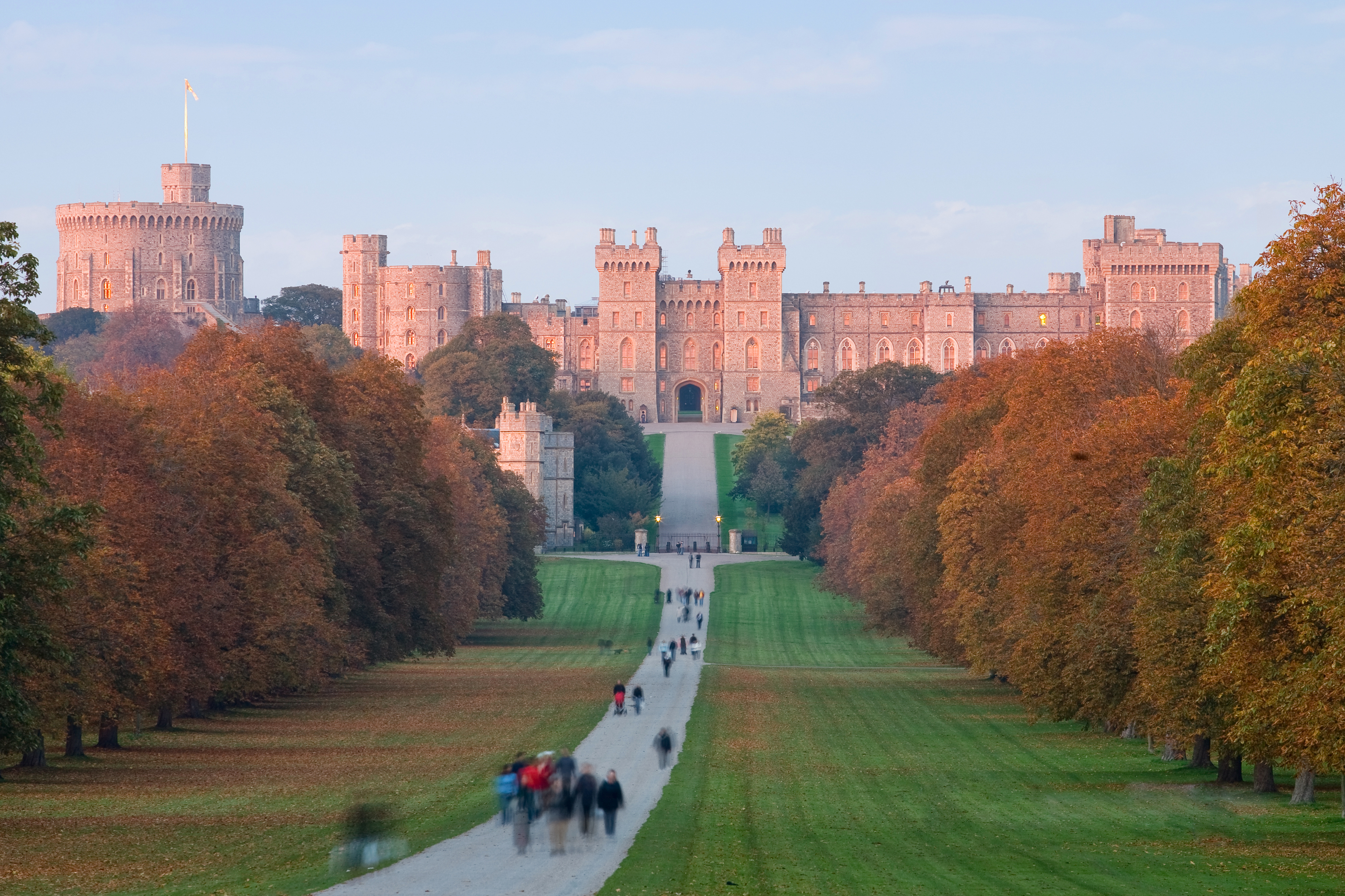
A castle is a type of fortification, fortified structure built during the Middle Ages predominantly by the nobility or royalty and by Military order (monastic society), military orders. Scholars usually consider a ''castle'' to be the private fortified house, fortified residence of a lord or noble. This is distinct from a mansion, palace, and villa, whose main purpose was exclusively for ''pleasance'' and are not primarily fortresses but may be fortified. Use of the term has varied over time and, sometimes, has also been applied to structures such as hill forts and 19th- and 20th-century homes built to resemble castles. Over the Middle Ages, when genuine castles were built, they took on a great many forms with many different features, although some, such as curtain wall (fortification), curtain walls, arrowslits, and portcullises, were commonplace. European-style castles originated in the 9th and 10th centuries after the fall of the Carolingian Empire, which resulted ... [...More Info...] [...Related Items...] OR: [Wikipedia] [Google] [Baidu] |
Porphyry (geology)
Porphyry ( ) is any of various granites or igneous rocks with coarse-grained crystals such as feldspar or quartz dispersed in a fine-grained silicate-rich, generally aphanitic matrix or groundmass. In its non-geologic, traditional use, the term ''porphyry'' usually refers to the purple-red form of this stone, valued for its appearance, but other colours of decorative porphyry are also used such as "green", "black" and "grey". The term ''porphyry'' is from the Ancient Greek (), meaning " purple". Purple was the colour of royalty, and the Roman "imperial porphyry" was a deep purple igneous rock with large crystals of plagioclase. Some authors claimed the rock was the hardest known in antiquity. Thus porphyry was prized for monuments and building projects in Imperial Rome and thereafter. Subsequently, the name was given to any igneous rocks with large crystals. The adjective ''porphyritic'' now refers to a certain texture of igneous rock regardless of its chemical and miner ... [...More Info...] [...Related Items...] OR: [Wikipedia] [Google] [Baidu] |
Louis IV, Holy Roman Emperor
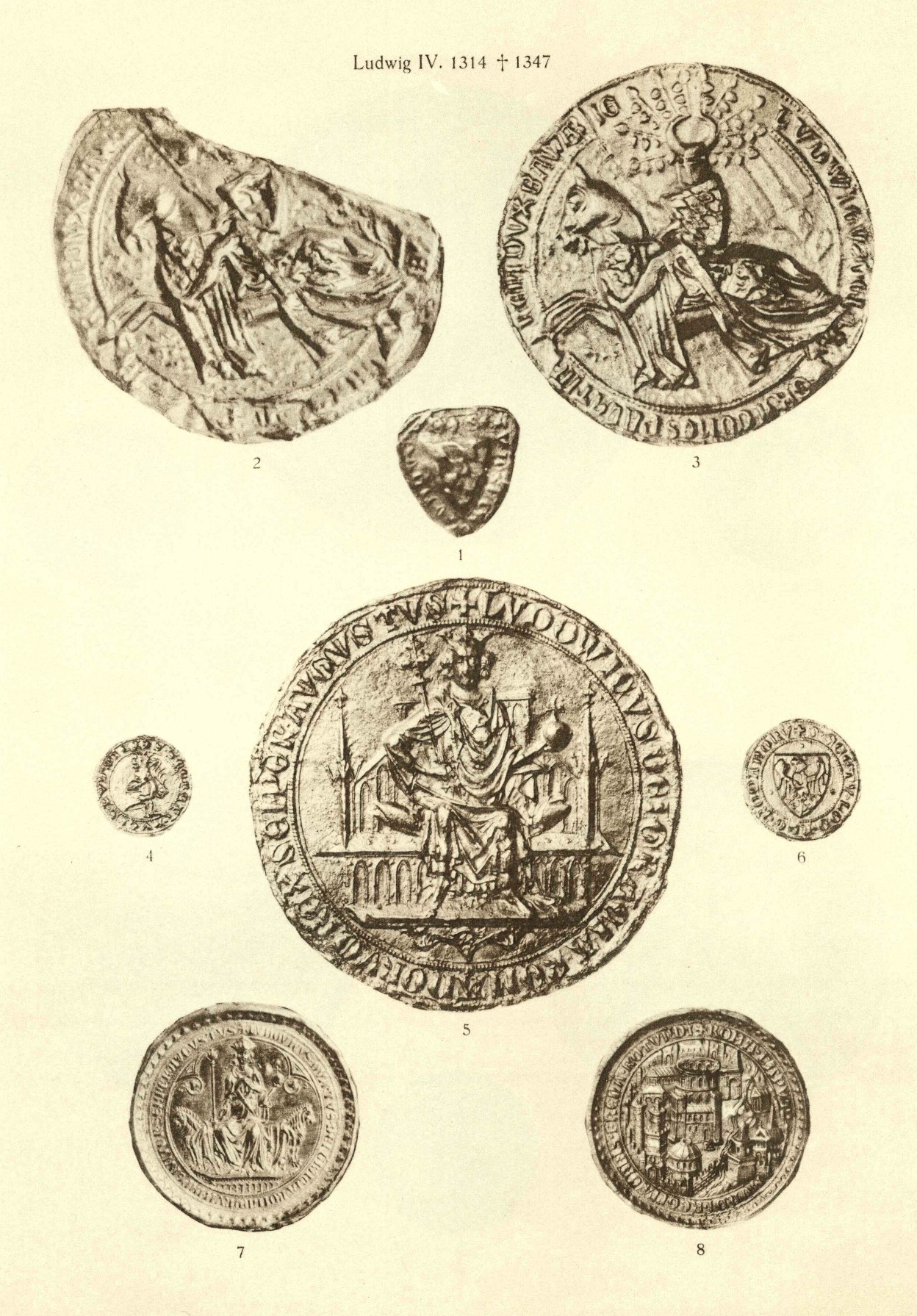
Louis IV (; 1 April 1282 – 11 October 1347), called the Bavarian (, ), was King of the Romans from 1314, King of Italy from 1327, and Holy Roman Emperor from 1328 until his death in 1347. 20 October 1314 imperial election, Louis' election as king of Germany in 1314 was controversial, as his House of Habsburg, Habsburg cousin Frederick the Fair was simultaneously elected king by a separate set of electors. Louis defeated Frederick in the Battle of Mühldorf in 1322, and the two eventually reconciled. Louis was opposed and excommunicated by the French Pope John XXII; Louis in turn attempted to depose the pope and install an anti-pope. Louis IV was Duke of Upper Bavaria from 1294 to 1301 together with his elder brother Rudolf I, Duke of Bavaria, Rudolf I, was Margraviate of Brandenburg, Margrave of Brandenburg until 1323, and Electoral Palatinate, Count Palatine of the Rhine until 1329, and became Duke of Bavaria, Duke of Lower Bavaria in 1340. He was the last Bavarian to be a ... [...More Info...] [...Related Items...] OR: [Wikipedia] [Google] [Baidu] |
Trier
Trier ( , ; ), formerly and traditionally known in English as Trèves ( , ) and Triers (see also Names of Trier in different languages, names in other languages), is a city on the banks of the Moselle (river), Moselle in Germany. It lies in a valley between low vine-covered hills of red sandstone in the west of the state of Rhineland-Palatinate, near the border with Luxembourg and within the important Mosel (wine region), Moselle wine region. Founded by the Ancient Romans, Romans in the late 1st century BC as ''Augusta Treverorum'' ("The City of Augustus among the Treveri"), Trier is considered Germany's oldest city. It is also the oldest cathedral, seat of a bishop north of the Alps. Trier was one of the four capitals of the Roman Empire during the Tetrarchy period in the late 3rd and early 4th centuries. In the Middle Ages, the archbishop-elector of Trier was an important prince of the Church who controlled land from the French border to the Rhine. The archbishop-elector of Tr ... [...More Info...] [...Related Items...] OR: [Wikipedia] [Google] [Baidu] |
Late Middle Ages
The late Middle Ages or late medieval period was the Periodization, period of History of Europe, European history lasting from 1300 to 1500 AD. The late Middle Ages followed the High Middle Ages and preceded the onset of the early modern period (and in much of Europe, the Renaissance). Around 1350, centuries of prosperity and growth in Europe came to a halt. A series of famines and Plague (disease), plagues, including the Great Famine of 1315–1317 and the Black Death, reduced the population to around half of what it had been before the calamities. Along with depopulation came social unrest and endemic warfare. Kingdom of France, France and Kingdom of England, England experienced serious peasant uprisings, such as the Jacquerie and the Peasants' Revolt, as well as over a century of intermittent conflict, the Hundred Years' War. To add to the many problems of the period, the unity of the Catholic Church was temporarily shattered by the Western Schism. Collectively, those events ar ... [...More Info...] [...Related Items...] OR: [Wikipedia] [Google] [Baidu] |


