|
Network Aviation
Network Aviation is an airline based at Perth Airport, operating regular scheduled and air charter services in support of "fly-in fly-out" mining operations throughout Western Australia and limited regular scheduled services interstate. Since 2015 Network Aviation has primarily flown under the QantasLink brand. In partnership with subsidiary engineering provider Network Turbine Solutions, Network Aviation operates over 50 flights a week on behalf of mining companies to facilitate crew changes at remote sites. History After assisting to establish Skippers Aviation, Lindsay Evans founded Network in 1998. Originally operating a mix of smaller aircraft types such as Cessna 441 Conquest IIs, Cessna 310s and Beechcraft Super King Airs, in partnership with key clients Network grew into larger types and commenced operating Embraer Brasilias in 2000 and Fokker 100s in 2008. In February 2011, Network Aviation was purchased by Qantas. Network retains its current management, employee ... [...More Info...] [...Related Items...] OR: [Wikipedia] [Google] [Baidu] |
Fokker 100
The Fokker 100 is a regional jet that was produced by Fokker in the Netherlands. The Fokker 100 was based on the Fokker F28 with a fuselage stretched by to seat up to 109 passengers, up from 85. It is powered by two newer Rolls-Royce Tay turbofans, and it has an updated glass cockpit and a wider wing and tail for increased maximum weights. The Fokker 70 is a shortened variant that can hold up to 85 passengers and was developed for shorter routes, which first flew in April of 1993. The program was announced in 1983 and it made its maiden flight on 30 November 1986. The variant was approved on 20 November 1987, and first deliveries to Swissair started in February 1988. American Airlines ordered 75, TAM Transportes Aéreos Regionais asked for 50, and USAir got 40. Fokker had financial troubles and went bankrupt in March 1996, and production ended in 1997 after 283 deliveries. Amsterdam-based Rekkof group wants to restart its production and update it with new engines, but has ... [...More Info...] [...Related Items...] OR: [Wikipedia] [Google] [Baidu] |
Cessna 310
The Cessna 310 is an American four-to-six-seat, low-wing, twin-engine monoplane produced by Cessna between 1954 and 1980. It was the second twin-engine aircraft that Cessna put into production; the first was the Cessna T-50. It was used by the U.S. military as the L-27, after 1962, U-3. Over six thousand Cessna 310 and 320 aircraft were produced between 1954 and 1980. Development The 310 first flew on January 3, 1953, with deliveries starting in late 1954. The sleek modern lines of the new twin were backed up by innovative features such as engine exhaust thrust augmenter tubes and the storage of all fuel in tip tanks in early models. In 1964, the engine exhaust was changed to flow under the wing instead of the augmenter tubes, which were considered to be noisy. Typical of Cessna model naming conventions, a letter was added after the model number to identify changes to the original design over the years. The first significant upgrade to the 310 series was the 310C in 1959, whic ... [...More Info...] [...Related Items...] OR: [Wikipedia] [Google] [Baidu] |
Broome International Airport
Broome International Airport is a regional airport located west of the Broome GPO, Western Australia. Broome International Airport is the regional hub of the northwestern part of Western Australia. It is considered the gateway to the Kimberley region. In the year ending 30 June 2011 the airport handled 409,663 passengers. It is ranked the 20th busiest airport in Australia.Fiscal year 1 July – 30 June Refers to "Regular Public Transport (RPT) operations only" History ;World War II The airport field was attacked on the morning of 3 March 1942, during World War II. The attack on Broome resulted in at least 88 deaths. The airport field was being used by the Royal Australian Air Force (RAAF) and allies, the Japanese raid destroyed at least 22 aircraft, parts of which are still on display to this day at Broome Historical Museum. ;Postwar The airport runway was extended in around 2004–2006. It also has had several upgrades to helicopter infrastructure. It is home to state- ... [...More Info...] [...Related Items...] OR: [Wikipedia] [Google] [Baidu] |
Kimberley (Western Australia)
The Kimberley is the northernmost of the nine regions of Western Australia. It is bordered on the west by the Indian Ocean, on the north by the Timor Sea, on the south by the Great Sandy Desert, Great Sandy and Tanami Desert, Tanami deserts in the region of the Pilbara, and on the east by the Northern Territory. The region was named in 1879 by government surveyor Alexander Forrest after Secretary of State for the Colonies John Wodehouse, 1st Earl of Kimberley. History The Kimberley was one of the earliest settled parts of Australia, with the first humans landing about 65,000 years ago. They created a complex culture that developed over thousands of years. Yam (vegetable), Yam (''Dioscorea hastifolia'') agriculture was developed, and rock art suggests that this was where some of the earliest boomerangs were invented. The worship of Wandjina deities was most common in this region, and a complex theology dealing with the transmigration of souls was part of the local people's religi ... [...More Info...] [...Related Items...] OR: [Wikipedia] [Google] [Baidu] |
Kalgoorlie-Boulder Airport
Kalgoorlie-Boulder (or just Kalgoorlie) is a city in the Goldfields–Esperance region of Western Australia, located east-northeast of Perth at the end of the Great Eastern Highway. It is referred to as Kalgoorlie–Boulder as the surrounding urban area includes the historic townsite of Boulder and the local government area is the City of Kalgoorlie–Boulder. Kalgoorlie–Boulder lies on the traditional lands of the Wangkatja group of peoples. The name "Kalgoorlie" is derived from the Wangai word ''Karlkurla'' or ''Kulgooluh'', meaning "place of the silky pears". The city was established in 1893 during the Western Australian gold rushes. It soon replaced Coolgardie as the largest settlement on the Eastern Goldfields. Kalgoorlie is the ultimate destination of the Goldfields Water Supply Scheme and the Golden Pipeline Heritage Trail. The nearby Super Pit gold mine was Australia's largest open-cut gold mine for many years. During August 2021, Kalgoorlie–Boulder had an es ... [...More Info...] [...Related Items...] OR: [Wikipedia] [Google] [Baidu] |
Carosue Dam Gold Mine
The Carosue Dam Gold Mine is a gold mine located south of Laverton, Western Australia. Carosue Dam was previously owned by the now defunct mining company Sons of Gwalia Limited. Purchased in 2005, the mine was placed into care and maintenance by new owners St Barbara in June 2005 and sold to Saracen Mineral Holdings in February 2006. Saracen reopened the mine in early 2010. It is now owned and operated by Northern Star Resources after a merger with Saracen in 2021. History Located within the South Laverton gold field, situated 120 km north east of Kalgoorlie, the processing plant at Carosue Dam was constructed and commissioned in 2000, then owned by Pacmin Mining. In October 2001, it was acquired by Sons of Gwalia. During its five-year operation until June 2005, the mine produced over 700,000 ounces of gold. Sons of Gwalia went into administration on 30 August 2004 and the company's gold mining operations were sold to St Barbara Limited in March 2005 for A$38 million, ... [...More Info...] [...Related Items...] OR: [Wikipedia] [Google] [Baidu] |
Goldfields–Esperance
The Goldfields–Esperance region is one of the nine regions of Western Australia. It is located in the south-eastern corner of Western Australia, and comprises the local government areas of Coolgardie, Dundas, Esperance, Kalgoorlie–Boulder, Laverton, Leonora, Menzies, Ngaanyatjarraku, Ravensthorpe and Wiluna. It also incorporates the area along the Great Australian Bight to the South Australian border known as the Nullarbor Plain. Geography The Goldfields–Esperance region is the largest of Western Australia's regions, with an area of . It is mostly a low and flat plateau of extremely ancient Precambrian rocks that have been stable since long before the Paleozoic Era. Because of the extreme geological stability and the absence of glaciation since the Carboniferous, the soils are extremely infertile and generally quite saline. Consequently, the region supports the lowest stocking rates in the world: it is considered that one sheep per square mile is the maximum sus ... [...More Info...] [...Related Items...] OR: [Wikipedia] [Google] [Baidu] |
Learmonth Airport
Learmonth Airport is an airport, co-located on the site of RAAF Base Learmonth, a Royal Australian Air Force (RAAF) base. The airport is located near the town of Exmouth on the north-west coast of Western Australia. Established in the 1940s as an airfield, the current airport is operated by the Shire of Exmouth under a lease from the Department of Defence and occupies an area of on the RAAF Base Learmonth site. The terminal opened on 3 December 1999. On 7 October 2008, Qantas Flight 72 made an emergency landing at RAAF Learmonth. On 1 June 2012, an AirAsia X flight to Perth made an emergency landing at Learmonth Airport for refuelling. Learmonth is designated an emergency alternative airport in the case of fog or bad weather affecting Perth Airport. In October 2023, CPB Contractors was awarded a contract to upgrade the airport. [...More Info...] [...Related Items...] OR: [Wikipedia] [Google] [Baidu] |
Gascoyne
The Gascoyne region is one of the nine regions of Western Australia. It is located in the northwest of Western Australia, and consists of the local government areas of Carnarvon, Exmouth, Shark Bay and Upper Gascoyne. The Gascoyne has about of Indian Ocean coastline; extends inland about ; and has an area of , Estimated resident population, 30 June 2019. including islands. Population The Gascoyne has the lowest population of any region of Western Australia, with about 9,277 people. The majority of residents are non-Aboriginal people born in Australia (74%). Just over half live in Carnarvon (4,426) where Aboriginal residents account for 18% of the population. Other centres are Exmouth, Denham, Gascoyne Junction and Coral Bay. Climate The Gascoyne has a moderate arid tropical, climate. It is generally warm all year round, with mean maximum daily temperatures ranging from in July to in January. The region receives about 320 days of sunshine per year. Annual rainfall is low a ... [...More Info...] [...Related Items...] OR: [Wikipedia] [Google] [Baidu] |
Hobart Airport
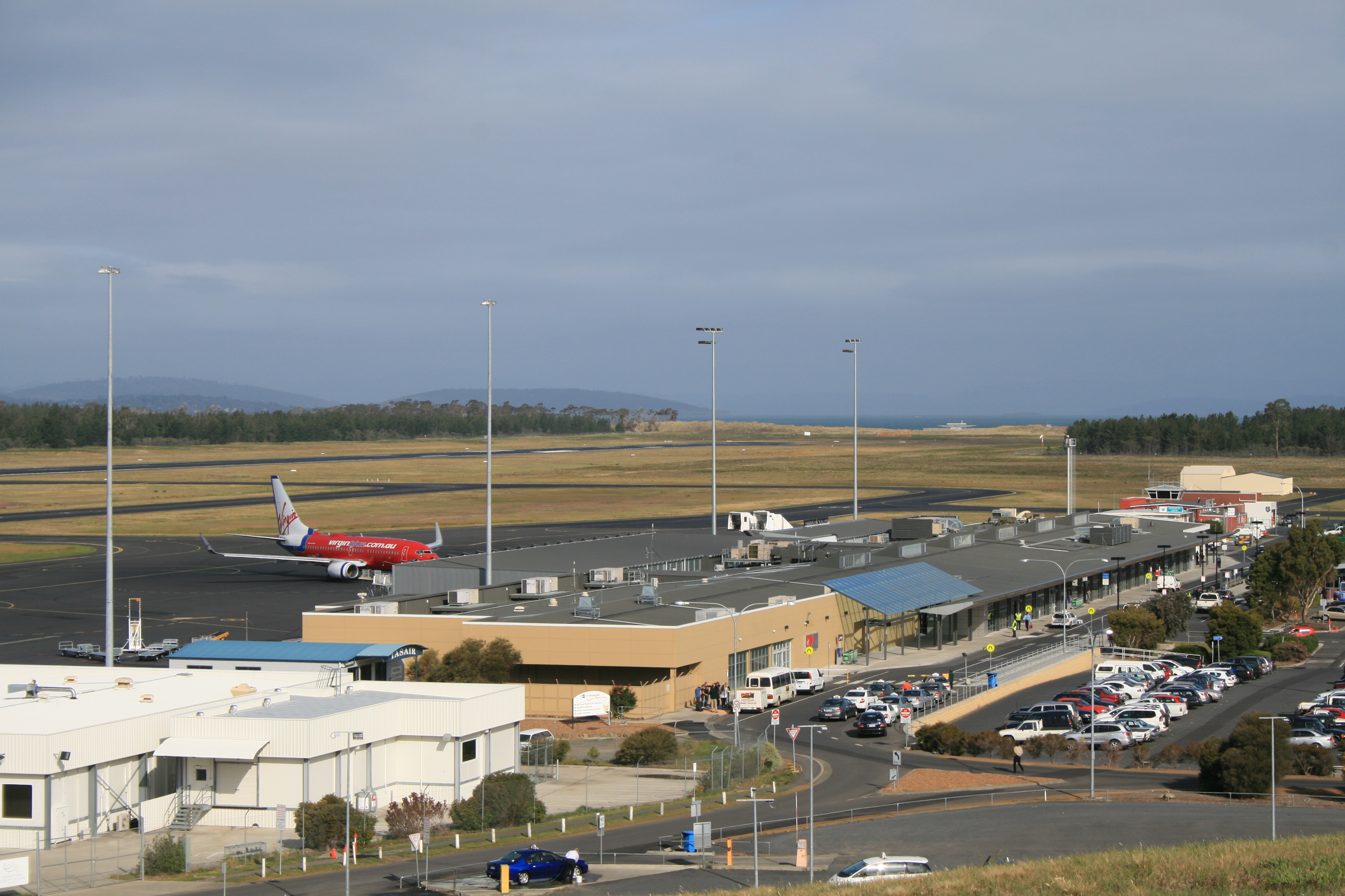
Hobart Airport is an airport located in Cambridge, north-east of the Hobart central business district. It is the principal airport of Tasmania.Air passenger movements through capital and non-capital city airports to 2030–31 Bureau of Infrastructure & Transport Research Economics 2012 The owned airport is operated by the Tasmanian Gateway Consortium under a 99-year ... [...More Info...] [...Related Items...] OR: [Wikipedia] [Google] [Baidu] |
Darwin International Airport
Darwin International Airport is a domestic and international airport serving Darwin, Northern Territory, Australia. It is the eleventh busiest airport in Australia measured by passenger movements, with almost 2 million passengers travelling through in FY 2012. It is the main airport and the sole international airport serving the Darwin area. The airport is located in Darwin's northern suburbs, from Darwin city centre, in the suburb of Eaton. It shares runways with the Royal Australian Air Force's RAAF Base Darwin. Darwin Airport has an international terminal, a domestic terminal and a cargo terminal. Both of the passenger terminals have a number of shops and cafeterias. History Early years In 1919, when the England to Australia air race was announced, Parap Airfield was established in the suburb of Parap to act as the Australian terminal. It operated as two airports, a civilian airport and a military field. The airfield frequently took hits from Japanese bombing ... [...More Info...] [...Related Items...] OR: [Wikipedia] [Google] [Baidu] |
Newcastle Airport (New South Wales)
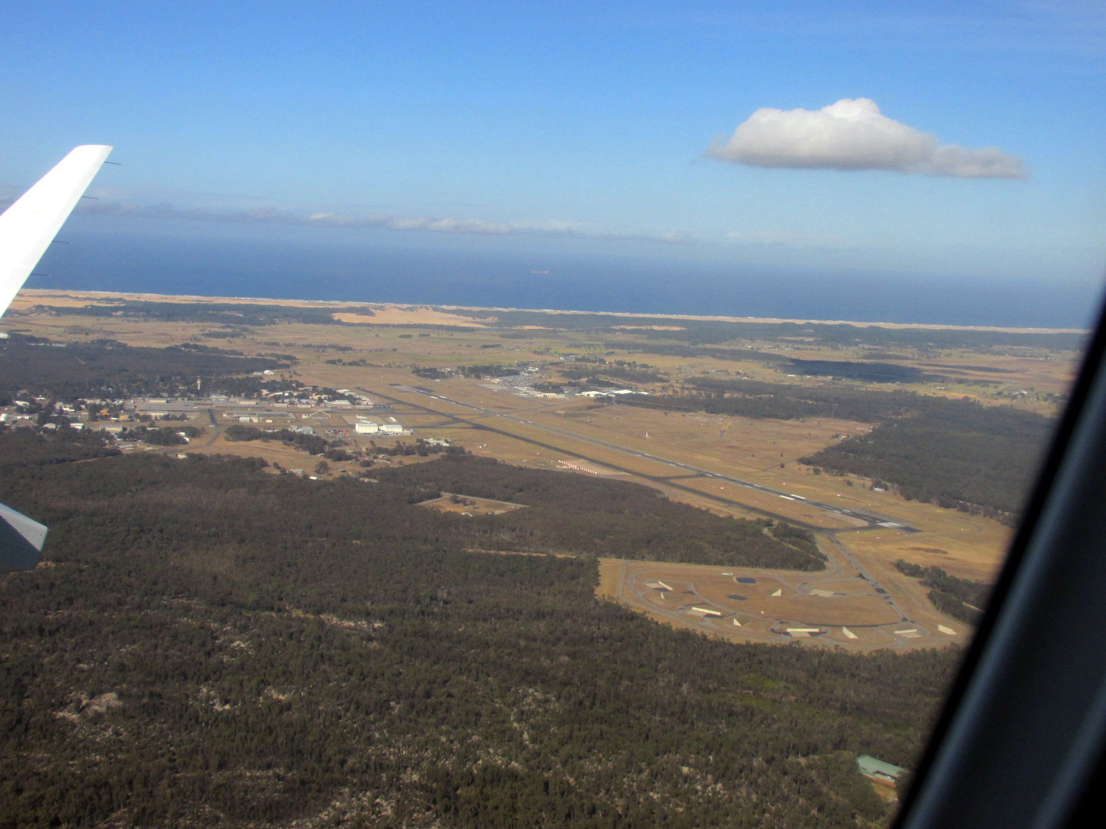
Newcastle Airport , also known as Williamtown Airport, is a domestic airport in Williamtown, New South Wales. It is located north of the Newcastle City Centre ( by road) in Port Stephens. It is the 13th busiest airport in Australia, handling over 1.25 million passengers in the year ended 30 June 2017, an increase of 6.6% on the previous year. The airport occupies a site on the southern border of RAAF Base Williamtown. Overview The airport is jointly owned by Newcastle City Council and Port Stephens Council, and managed by Newcastle Airport Pty Ltd. The airport and associated developments support over 3,300 jobs and contributed $1.19 billion to the economy of the lower Hunter Region in 2015. The airport runway is owned by RAAF Base Williamtown. Even though this is a military airfield, civilian operations are permitted under an Operating Deed. Jetstar, Virgin Australia and QantasLink operate flights to Sydney, Melbourne, Brisbane, Gold Coast and Ballina. FlyPelican a ... [...More Info...] [...Related Items...] OR: [Wikipedia] [Google] [Baidu] |


