|
Narakodur
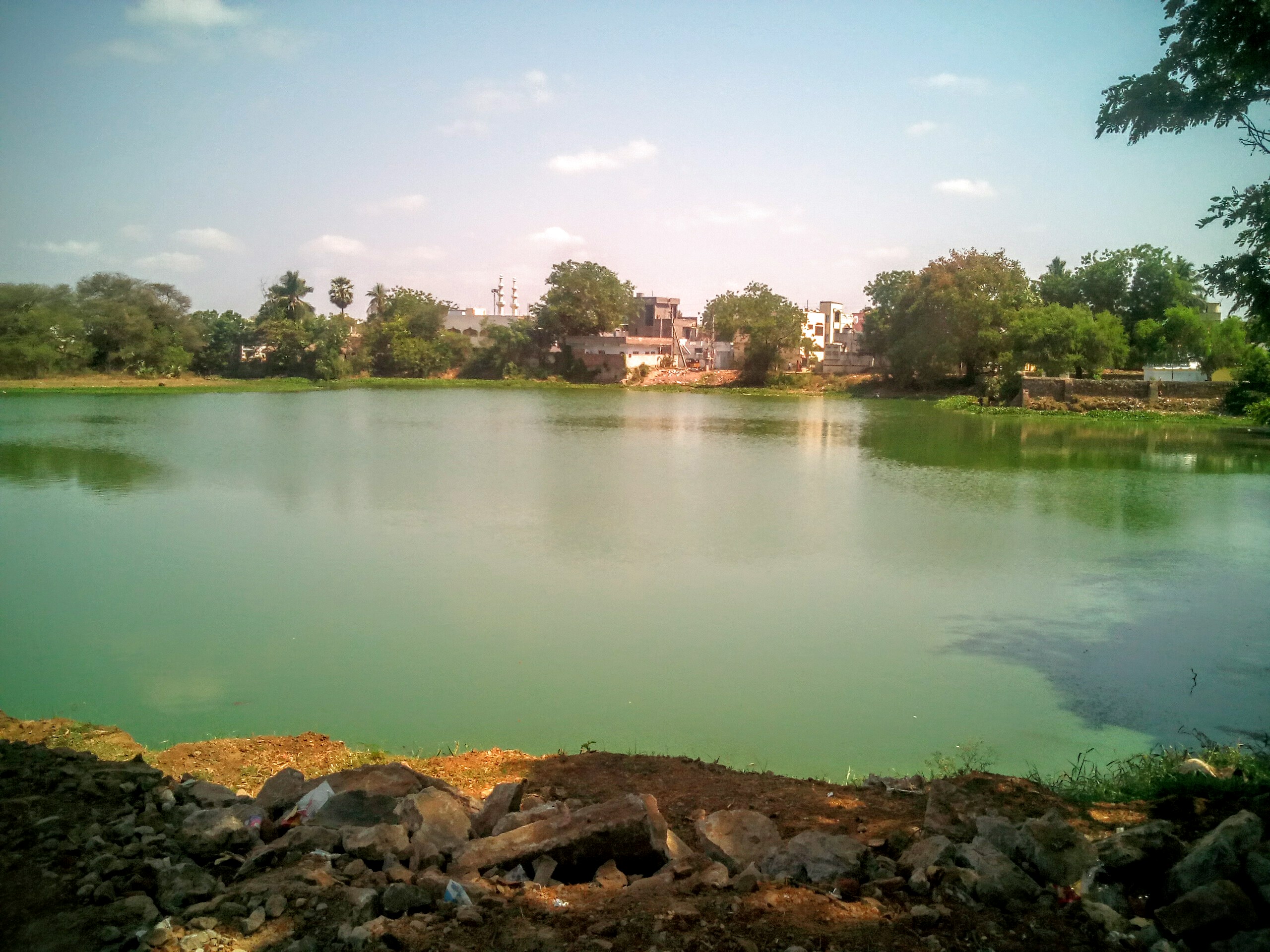
Narakodur is a village in Guntur district of the Indian state of Andhra Pradesh. It is the headquarters of Bollapalle mandal in Tenali revenue division. It is located in Chebrolu mandal of Tenali revenue division. Geography Narakodur is situated to the northwest of the mandal headquarters, Chebrolu, Guntur district, Chebrolu, at . It is spread over an area of . Demographics Census of India, Narakodur had a population of 6,564 with 1800 households. The total population constitutes 3,250 males and 3,314 females —a sex ratio of 1020 females per 1000 males. 575 children are in the age group of 0–6 years, of which 307 are boys and 268 are girls —a ratio of 873 per 1000. The average literacy rate stands at 72.32% with 4,331 literates, significantly higher than the state average of 67.41%. Governance Narakodur gram panchayat is the Local self-government in India, local self-government of the village. It is divided into wards and each ward is represented by a ward memb ... [...More Info...] [...Related Items...] OR: [Wikipedia] [Google] [Baidu] |
Tenali Revenue Division
Tenali is a city in Guntur district of the Indian state of Andhra Pradesh. It is a municipality and the headquarters of Tenali mandal and Tenali revenue division. The city is renowned for art, culture, drama and hence, it is called ''Andhra Paris''. It is one of the twelve urban local bodies in Andhra Pradesh Capital Region and the twelfth most populous city in the state, with a population of 199,345 as of 2011. Tenali City is also part of Andhra Pradesh Capital Region Development Authority (APCRDA). Tenali Ramakrishna, one of the eight poets and jester of Maharaja Krishnadevaraya, hails from Tenali. Etymology The word ''Tenali'' is derived from ''Teravali''. Three canals of the Krishna River flow through Tenali City, making it a part of the rice bowl of Andhra Pradesh, resembling Paris, where three canals pass through the city. Hence Tenali is affectionately called "Andhra Paris". In 2011 the city limits were expanded by many kilometers. The expansion included the villag ... [...More Info...] [...Related Items...] OR: [Wikipedia] [Google] [Baidu] |
Vejendla
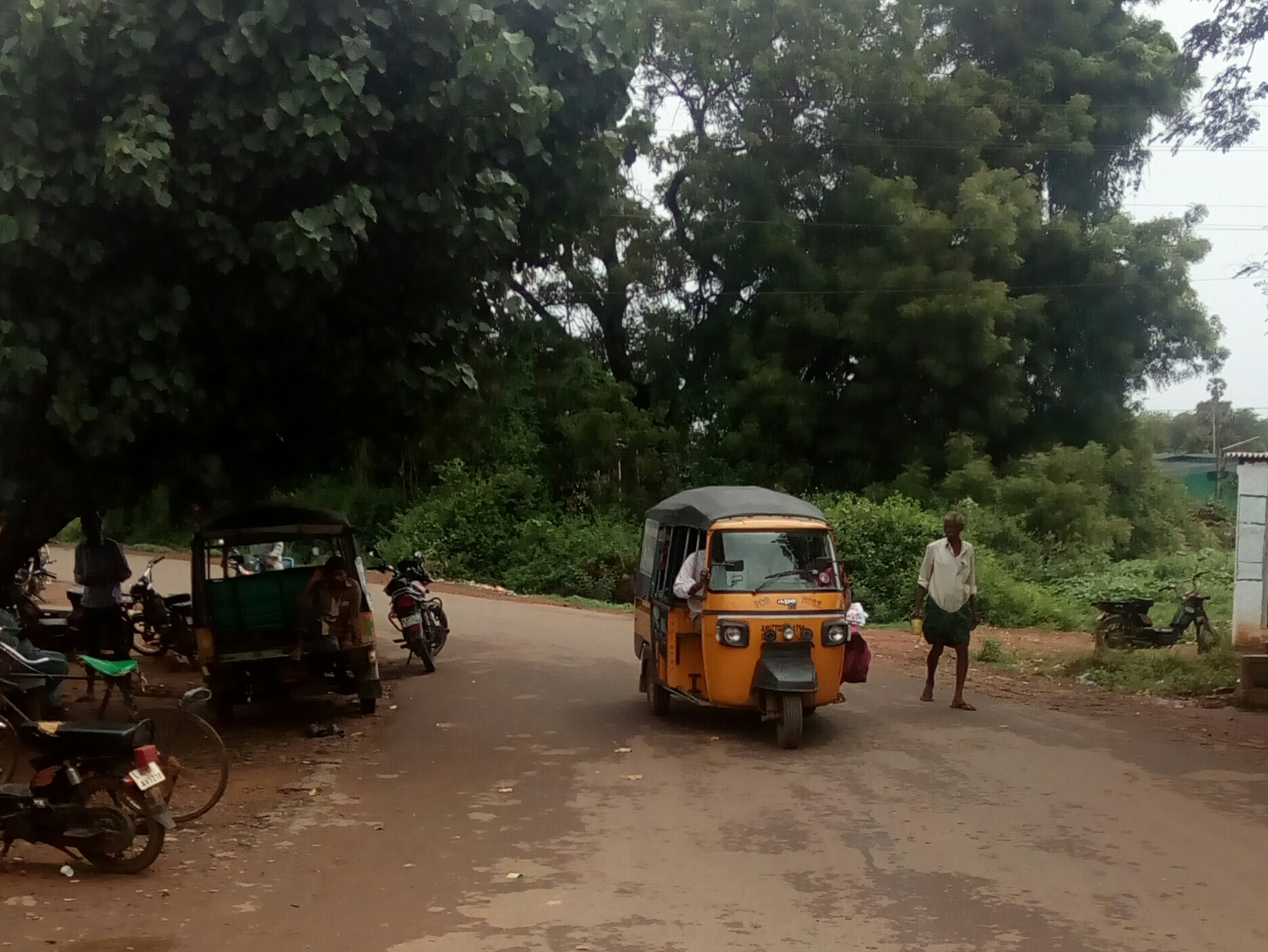
Vejendla is a village in Guntur district of the Indian state of Andhra Pradesh. It is supposed to be the headquarters of Chebrolu mandal in Tenali revenue division. It is located in Chebrolu mandal of Tenali revenue division. Geography Vejendla is situated to the north of the mandal headquarters, Chebrolu, at . It is spread over an area of . Governance Vejendla gram panchayat is the local self-government of the village. It is divided into wards and each ward is represented by a ward member. The village forms a part of Andhra Pradesh Capital Region and is under the jurisdiction of APCRDA. Transport Tenali–Narakodur road bypasses Vejendla. Rural roads connects the village with Chebrole, Guntur bypass and Suddapalli. On this route, APSRTC operates buses from Guntur and Tenali bus stations. Vejendla railway station provides rail connectivity and is situated on Guntur–Tenali section of Guntur railway division. Education As per the school information report for the ... [...More Info...] [...Related Items...] OR: [Wikipedia] [Google] [Baidu] |
Chebrolu Mandal
Chebrolu mandal is one of the 57 mandals in Guntur district of the Indian state of Andhra Pradesh. It is under the administration of Tenali revenue division and the headquarters are located at Chebrolu. The mandal is bounded by Guntur, Pedakakani, Tenali, Vatticherukuru, Tsundur and Ponnur mandals. Administration The mandal is also a part of the Andhra Pradesh Capital Region under the jurisdiction of APCRDA. The mandal is under the control of a tahsildar and the present tahsildar is S.Jagan Mohan Rao. Chebrolu mandal is one of the 3 mandals under Ponnur (Assembly constituency), which in turn represents Guntur (Lok Sabha constituency) of Andhra Pradesh. Towns and villages census, the mandal has 19 settlements. It includes 1 town and 11 villages. The settlements in the mandal are listed below: # Chebrolu # Godavarru # Manchala # Meesaragadda Ananthavaram # Narakodur # Pathareddipalem # Sekuru # Srirangapuram # Suddapalle # Vadlamudi # Vejendla # kotthareddipalem ... [...More Info...] [...Related Items...] OR: [Wikipedia] [Google] [Baidu] |
Chirala
Chirala (), (, Telugu) a city in Bapatla district of the Indian state of Andhra Pradesh. It is a municipality and the headquarters of Chirala mandal in Chirala revenue division. , it had a population of above 170,000. Chirala is the most populated city in Bapatla Lok Sabha Parliamentary Constituency. Etymology The city was also known as ''Kshirapuri'', (, Telugu) which translates as ''the town of milk''.The city was carved out of Sudhanagaram, original name of Patha Chirala, that was granted to Chirala Anantharaju by Goparaju Ramanna, Minister of the Kakatiya king, Ganapati Deva, during Saka 1067 (1145 AD) as mentioned in the records obtained from the Madras Oriental Library. His descendant, Chirala Venkata Krishnudu, leased out the present Chirala area for raising a new township. Thus, present-day Chirala was born on 1604 AD. Independence Movement- Chirala Perala Movement Chirala name was carved in Independence struggle The then British government has laid taxes which w ... [...More Info...] [...Related Items...] OR: [Wikipedia] [Google] [Baidu] |
Guntur
Guntur () is a city and the administrative headquarters of Guntur district in the Indian state of Andhra Pradesh. Guntur is spread across 168.49 km square and is the third-largest city in the state. It is situated to the west of the Bay of Bengal, on the Eastern Coastal Plains. The city is the heartland of the state, located in the centre of Andhra Pradesh and making it a central part connecting different regions. It serves as a major hub for exports chilli, cotton and tobacco and has the largest chili market yard in Asia. It is a major transportation, education and commercial hub for the state. Guntur city is a municipal corporation and also the headquarters of Guntur East and Guntur West mandals in Guntur revenue division. The city region is a major part of Amaravati Metropolitan Region. census of India the city is the third most populous in the state with a population of 743,354. It is classified as a ''Y-grade'' city as per the Seventh Central Pay Commiss ... [...More Info...] [...Related Items...] OR: [Wikipedia] [Google] [Baidu] |
State Highway 48 (Andhra Pradesh)
State Highway 48 is a state highway in the Indian state of Andhra Pradesh It is also referred as ''Guntur-Bapatla-Chirala Road''. Route It starts at Guntur and passes through Ponnur, Bapatla and ends at Chirala Chirala (), (, Telugu) a city in Bapatla district of the Indian state of Andhra Pradesh. It is a municipality and the headquarters of Chirala mandal in Chirala revenue division. , it had a population of above 170,000. Chirala is the most popu ....} See also * List of State Highways in Andhra Pradesh References Transport in Guntur State Highways in Andhra Pradesh Roads in Guntur district Roads in Prakasam district {{India-road-stub ... [...More Info...] [...Related Items...] OR: [Wikipedia] [Google] [Baidu] |
NTR Bus Station
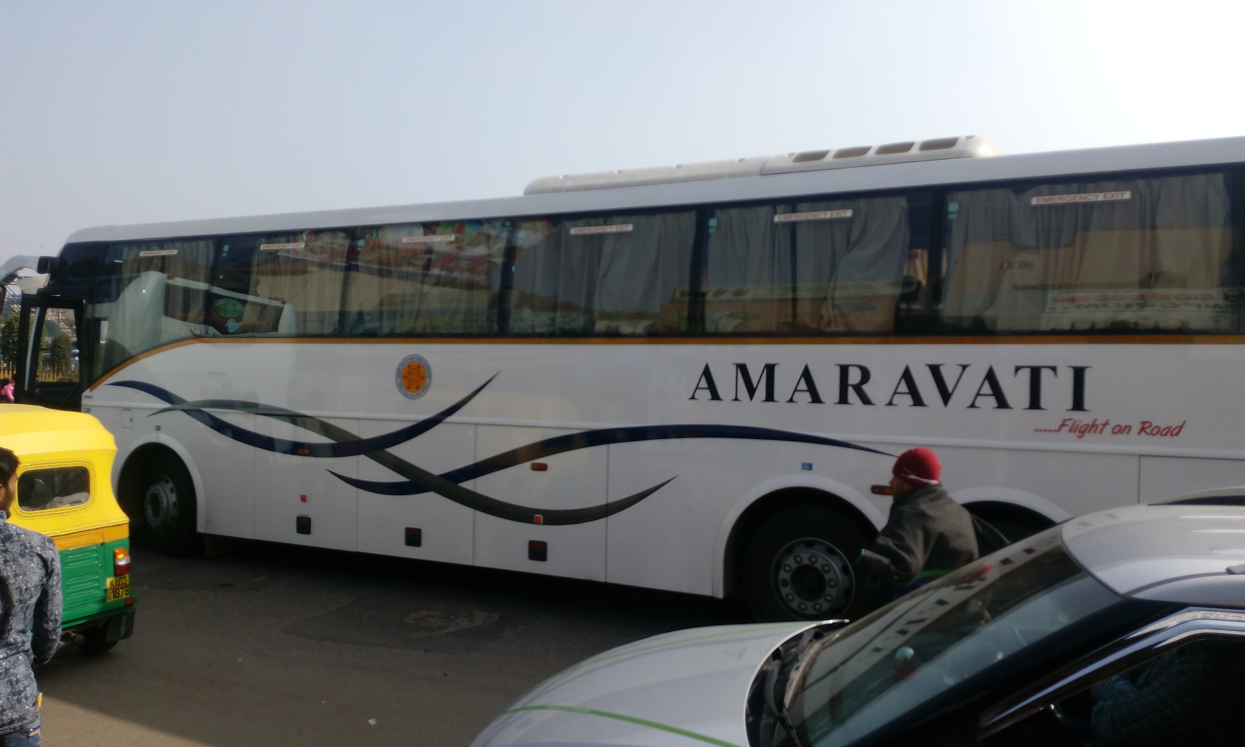
NTR bus station is a bus station in Guntur and owned by Andhra Pradesh State Road Transport Corporation. The bus station serves both the city and district services in Andhra Pradesh as well buses from neighboring states of Karnataka, Tamil Nadu and Telangana. History * 2015 – Introduction of city bus services to the nearby destinations of Perecherla, Namburu, Yanamadala and Chebrolu. Structure and amenities The bus station is spread over an area of and handles more than 2000 buses everyday arriving from all the districts of the state. A new mini bus station with 13 platforms is being built in the premises of the present one, to run city and non stop services. It is one Wi-Fi Wi-Fi () is a family of wireless network protocols, based on the IEEE 802.11 family of standards, which are commonly used for local area networking of devices and Internet access, allowing nearby digital devices to exchange data by radio w ... equipped bus stations in the state. Reference ... [...More Info...] [...Related Items...] OR: [Wikipedia] [Google] [Baidu] |
APSRTC
Andhra Pradesh State Road Transport Corporation (APSRTC) is the state-owned road transport corporation in the Indian state of Andhra Pradesh. Its headquarters is located at NTR Administrative Block of RTC House in Pandit Nehru bus station of Vijayawada. Many other Indian metro towns in Telangana, Tamil Nadu, Karnataka, Odisha, Yanam, Kerala, Maharashtra and Chhattisgarh are also linked with the APSRTC services. APSRTC was the first state to introduce cargo services and computized system in all depots. APSRTC was the first state to introduce hi-tech luxury bus in government bus sector in India. * APSRTC was the first state transport which uses Live Bus tracking facilities for Tracking of buses. GPS (Global positioning system) is fixed in all types of buses. AIS 140 model, GPS devices are used for live tracking of buses. * First to Introduce Digital Payments, QR - Tickets, E-Pos machines for ticketing across entire State. History APSRTC was formed on 11 January 1958 as ... [...More Info...] [...Related Items...] OR: [Wikipedia] [Google] [Baidu] |
Municipal Administration And Urban Development Department, Andhra Pradesh ...
Municipal Administration and Urban Development Department is one of the governing body of Government of Andhra Pradesh for the purpose of planning and development of urban areas and civic governance. It is headed by Adimulapu Suresh, the cabinet minister of Andhra Pradesh. The present ''Principal Secretary'' is ''Y. Srilakshmi''. The organization comprises 12 departments. They are: References {{Reflist State agencies of Andhra Pradesh Local government in Andhra Pradesh Government departments of Andhra Pradesh Andhra Pradesh Andhra Pradesh Andhra Pradesh (, abbr. AP) is a state in the south-eastern coastal region of India. It is the seventh-largest state by area covering an area of and tenth-most populous state with 49,386,799 inhabitants. It is bordered by Telangana to t ... [...More Info...] [...Related Items...] OR: [Wikipedia] [Google] [Baidu] |
Andhra Pradesh Capital Region Development Authority
The Andhra Pradesh Capital Region Development Authority (abbreviated as APCRDA), Amaravati, ACT No. 27 of 2020. It was notified on 31 July 2020 by the Government of Andhra Pradesh as per ''The Andhra Pradesh Capital Region Development Authority Repeal Act, 2020'', it replaced the Andhra Pradesh Capital Region Development Authority Act, 2014. The authority has a jurisdictional area of 8,352.69 km2 (3,224.99 sq mi), covering the districts of Guntur, NTR, Krishna, Palnadu, and Bapatla. The Andhra Pradesh Capital Region Development Authority (hereinafter referred to as APCRDA) as constituted under Section 4 of the Principal Act shall cease to exist. History The APCRDA was formerly known as AMDA and the former was VGTM Urban Development Authority (VGTM UDA), which was formed in 1978 with an area of . In 2012, it was expanded to . Post bifurcation of Andhra Pradesh, it was defunct and was renamed as APCRDA. APCRDA is Defunct now and Amaravati Metropolitan Development Authority is ... [...More Info...] [...Related Items...] OR: [Wikipedia] [Google] [Baidu] |


