|
Murgo
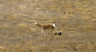
Murgo, on "Murgo Nala" near Murgo Hotspring, is a small hilly village which lies near the Line of Actual Control in Nubra district of the union territory of Ladakh in India, close to Chinese-controlled Aksai Chin. It is one of the northernmost villages of India. The Murgo Gompa is a large Buddhist monastery at Murgo. Murgo lies on the Darbuk–Shyok–DBO Road (DS-DBO Road) and Sasser Brangsa-Murgo Road (SBM Road) fork of Sasoma–Sasser La-Saser Brangsa-Gapsam-Daulat Beg Oldi Road (SSSG-DBO Road), both of which connect Leh to Daulat Beg Oldi. The village is inhabited by a small civilian population of Baltis, who make a living by apricot farming and yak rearing. The temperature plummets as low as -30 C in the winters. The weather deteriorates frequently with strong icy winds lashing much of Murgo. Murgo has very little vegetation or wildlife. Telecommunication at Murgo is only available through INMARSAT satellite phones. The Indian Armed Forces have significant presence in ... [...More Info...] [...Related Items...] OR: [Wikipedia] [Google] [Baidu] |
Darbuk–Shyok–DBO Road
The Darbuk–Shyok–DBO Road (DS-DBO Road/DSDBO Road), also called the Sub-Sector North Road, is a strategic all-weather road in eastern Ladakh in India, close to the Line of Actual Control with China. It connects Ladakh's capital city Leh, via the villages of Darbuk and Shyok at southern Shyok River Valley, with the Daulat Beg Oldi (DBO) post near the northern border. The 220-km long section between Shyok and DBO was constructed between 2000 and 2019 by India's Border Roads Organisation (BRO). The DS-DBO Road has reduced the travel time between Leh to DBO from 2 days to 6 hours.Ajay BanerjeeIndia completes vital Ladakh road, The Tribune (Chandigarh) 22 April 2019.Lt Gen Prakash KatochDSDBO Road completed – but what of the scam and the northeast?, Indian Defence Review, 27 April 2019. In January 2023, BRO announced that it is constructing the DSDBO tunnel on this route. History The Darbuk–Shyok–DBO Road traverses the historic winter route, also called the ''Zamistā ... [...More Info...] [...Related Items...] OR: [Wikipedia] [Google] [Baidu] |
Depsang Plains Survey Of India Map 1916
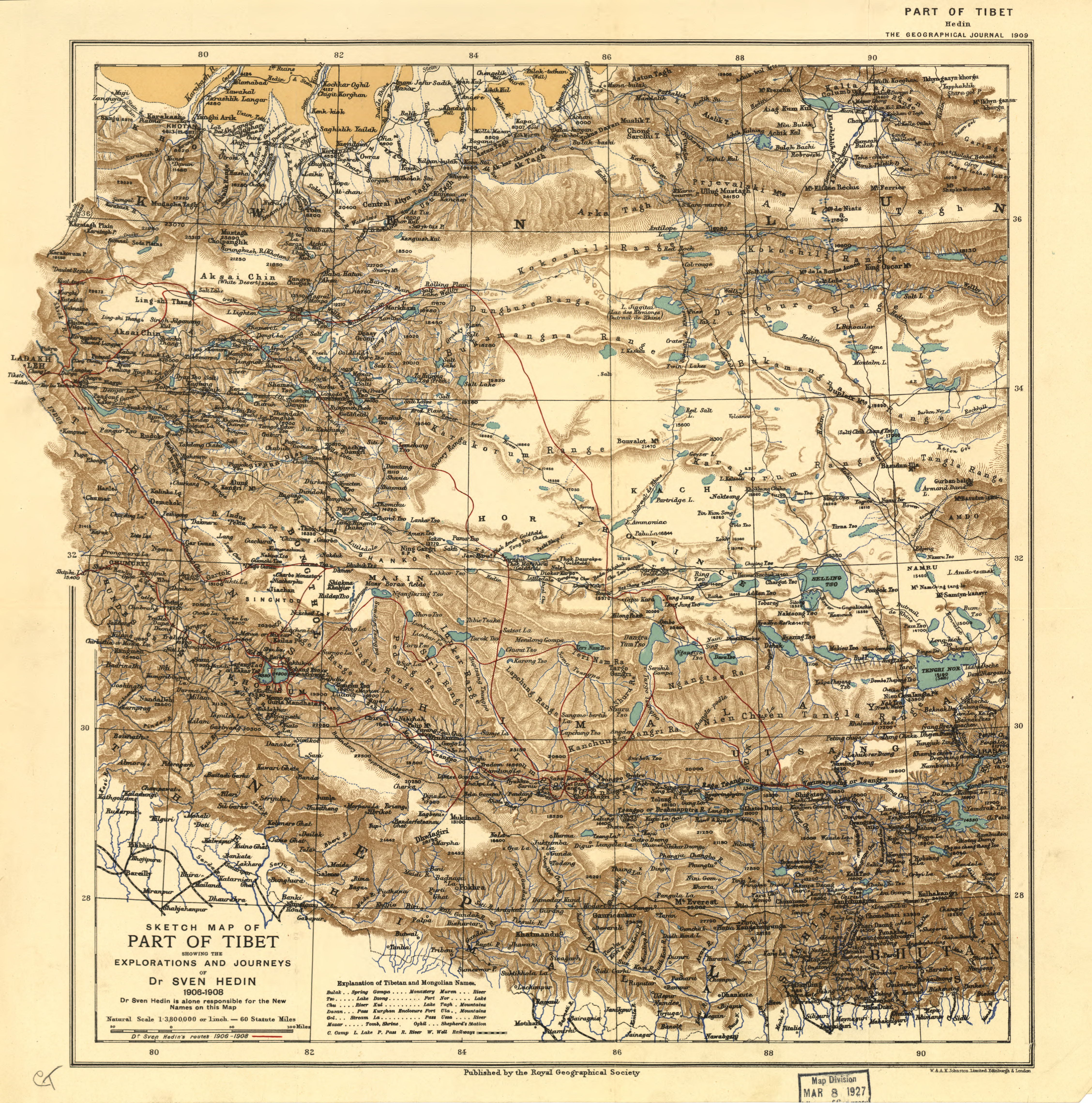
The Depsang Plains, a high-altitude gravelly plain in the northwest portion of the disputed Aksai Chin region of Kashmir, divided into Sino-Indian border dispute, Indian and Chinese administered portions by a Line of Actual Control. India controls the western portion of the plains as part of Ladakh, while the eastern portion is controlled by China and claimed by India. The Line of Control with Pakistan-administered Gilgit-Baltistan is west of the Depsang Plains, with the Siachen Glacier in-between. Ladakh's traditional trade route to Central Asia passed through the Depsang Plains, with the Karakoram Pass lying directly to its north. The Depsang plains are also part of the area called Sub-Sector North (SSN) by the Indian military. The area sees frequent tension between China and India. Major standoffs between the two countries occurred in 2013 Depsang standoff, 2013, 2015 and 2020 China–India skirmishes#Depsang Plains (Sub Sector North), 2020. Name ''Depsang'' (or ''Dip ... [...More Info...] [...Related Items...] OR: [Wikipedia] [Google] [Baidu] |
Daulat Beg Oldi
Daulat Beg Oldi (also Oldie, DBO) is a traditional campsite and current military base located in the midst of the Karakoram Range in northern Ladakh, India. It is on the historic trade route between Ladakh and the Tarim Basin, and is the last campsite before the Karakoram Pass. It is said to be named after Sultan Said Khan ("Daulat Beg" 'The Statesman'' of the Yarkent Khanate, who died here on his return journey from an invasion of Ladakh and Kashmir. Chip Chap River, the main headwater of the Shyok River, flows just to the south. The Line of Actual Control with Chinese-controlled Aksai Chin is five miles to the east. An Indian border outpost was established here in the summer of 1960. An Advance Landing Ground was also constructed here, one of the world's highest airstrips. DBO has two road links constructed by the Border Roads Organization, the 235 km-long Darbuk-Shyok-DBO Road, [...More Info...] [...Related Items...] OR: [Wikipedia] [Google] [Baidu] |
Sasoma–Saser La Road
Sasoma– Sasser La-Saser Brangsa-Gapsam-Daulat Beg Oldi Road (SSSG-DBO Road) 131 km long road through high Saser La, and its 18-km-long northwest-to-southeast fork the Sasser Brangsa-Murgo Road (SBM Road), are 30-ft-wide black-topped heavy-military-vehicle-grade motorable road between Nubra Valley and Depsang Plains (DBO-Daulat Beg Oldi) in Ladakh in India. The sections of ''SSSG-DBO Road'' are the 47 km long "Sasoma (near Siachen Base Camp)- Saser La section", 27 km long "Saser La-Saser Brangsa section", 42 km long "Saser Brangsa-Gapsam section" along the upstream of Shyok River which goes northeast of Saser Brangsa, and 10 km long "Gapsam-DBO section". Just after the Saser Brangsa, after crossing the 345 m long bridge over the Shyok River, the ''SSSG-DBO Road'' forks into two: 18 km long "Saser Brangsa-Murgo Road" (SBM Road) along the downstream of Shyok River which goes southeast of Saser Brangsa, and 52 km long Saser Brangsa-Gapsam-DBO ... [...More Info...] [...Related Items...] OR: [Wikipedia] [Google] [Baidu] |
Nubra Valley
Nubra, also called Dumra, is a historical region of Ladakh, India that is currently administered as a subdivision and a tehsil in the Leh district. Its inhabited areas form a tri-armed valley cut by the Nubra and Shyok rivers. Its Tibetan name ''Dumra'' means "valley of flowers". Demands have been raised and BJP has hinted at creation of Nubra as a new district.3,000 Demonstrate for Separate District in Sub-Zero Temperatures at Kargil The Wire, 06/FEB/2020. Diskit, the headquarters of Nubra, is 120 km north of , the capital of Ladakh. The |
Ferdinand Stoliczka
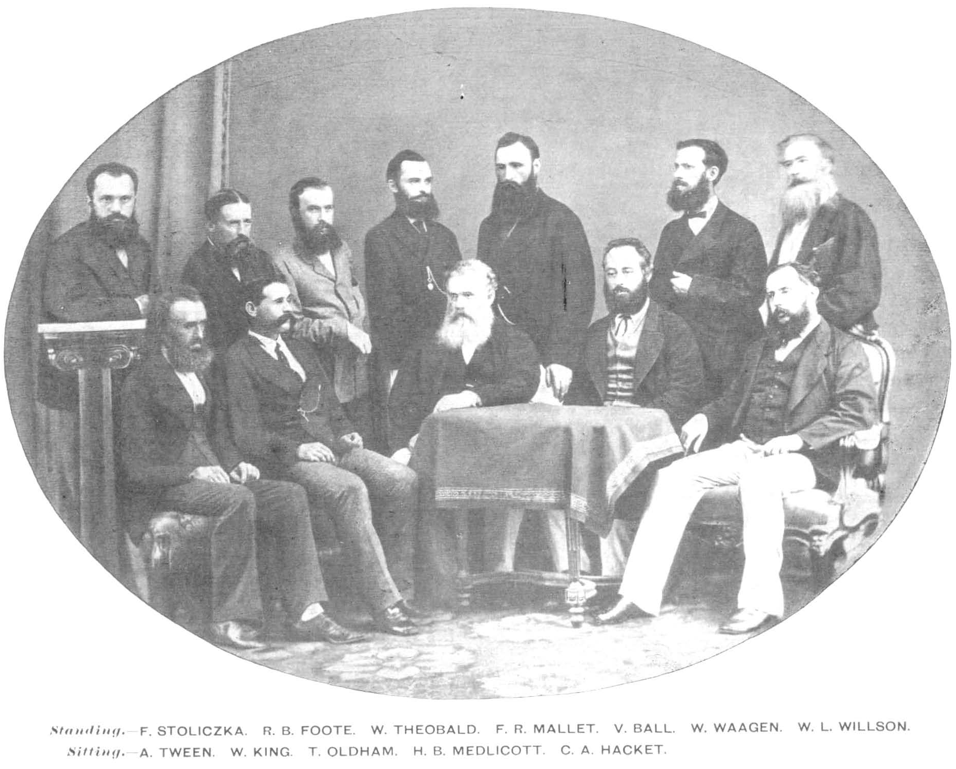
Ferdinand Stoliczka (Czech language, Czech written Stolička, 7 June 1838 – 19 June 1874) was a Moravian palaeontologist who worked in India on paleontology, geology and various aspects of zoology, including ornithology, malacology, and herpetology. He died of high altitude sickness in Murgo during an expedition across the Himalayas. Early life Stoliczka was born at the lodge ''Zámeček'' near Kroměříž in Moravia. Stoliczka, whose father was a forester who took care of the estate of the Archbishop of Olomouc, studied at a German Secondary school in Kroměříž. Although Stoliczka published 79 articles from 1859 to 1875, he never wrote anything in Czech. It is believed that he spoke German at home. In his Calcutta years he was an important figure in the German-speaking community there. Stoliczka studied geology and palaeontology at Prague and the University of Vienna under Professor Eduard Suess and Dr Rudolf Hoernes. He graduated with a Ph D from the University of Tüb ... [...More Info...] [...Related Items...] OR: [Wikipedia] [Google] [Baidu] |
Tibetic Languages
The Tibetic languages form a well-defined group of languages descending from Old Tibetan.Tournadre, Nicolas. 2014. "The Tibetic languages and their classification." In ''Trans-Himalayan linguistics, historical and descriptive linguistics of the Himalayan area''. Berlin: Mouton de Gruyter. According to Nicolas Tournadre, there are 50 Tibetic languages, which branch into more than 200 dialects, which could be grouped into eight dialect continua. These Tibetic languages are spoken in Tibet, Ladakh, Baltistan, Aksai Chin, Nepal, and in India in Himachal Pradesh, and Uttarakhand. Classical Tibetan is the major literary language, particularly for its use in Tibetan Buddhist scriptures and literature. Tibetan languages are spoken by some 6 million people, not all of whom are Tibetan.preprint With the worldwide spread of Tibetan Buddhism, the Tibetan language has also spread into the western world and can be found in many Buddhist publications and prayer materials, while western s ... [...More Info...] [...Related Items...] OR: [Wikipedia] [Google] [Baidu] |
Satellite Phone
A satellite telephone, satellite phone or satphone is a type of mobile phone that connects to other phones or the telephone network by radio link through satellites orbiting the Earth instead of terrestrial cell sites, as cellphones do. Therefore, they can work in most geographic locations on the Earth's surface, as long as open sky and the line-of-sight between the phone and the satellite are provided. Depending on the architecture of a particular system, coverage may include the entire Earth or only specific regions. Satellite phones provide similar functionality to terrestrial mobile telephones; voice calling, text messaging, and low-bandwidth Internet access are supported through most systems. The advantage of a satellite phone is that it can be used in such regions where local terrestrial communication infrastructures, such as landline and cellular networks, are not available. Satellite phones are popular on expeditions into remote locations where there is no reliable ce ... [...More Info...] [...Related Items...] OR: [Wikipedia] [Google] [Baidu] |
Indian Armed Forces
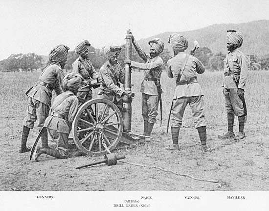
The Indian Armed Forces are the armed forces, military forces of the India, Republic of India. It consists of three professional uniformed services: the Indian Army, the Indian Navy, and the Indian Air Force.—— Additionally, the Indian Armed Forces are supported by the Central Armed Police Forces, the Indian Coast Guard, and the Special Frontier Force and various Jointness and integration in the Indian military, inter-service commands and institutions such as the Strategic Forces Command, the Andaman and Nicobar Command, and the Integrated Defence Staff. The President of India is the Commander-in-Chief, Supreme Commander of the Indian Armed Forces but the executive authority and responsibility for national security is vested in the Prime Minister of India and their chosen Cabinet Committee on Security, Cabinet Ministers. The Indian Armed Forces are under the management of the Ministry of Defence (India), Ministry of Defence of the Government of India. With strength of over ... [...More Info...] [...Related Items...] OR: [Wikipedia] [Google] [Baidu] |
Karakoram Pass
The Karakoram Pass () is a mountain pass between India and China in the Karakoram Range. It is the highest pass on the ancient caravan route between Leh in Ladakh and Yarkant County, Yarkand in the Tarim Basin. The name 'Karakoram' comes from a Turkic languages, Turkic language meaning 'Black Gravel'. Historically, the high altitude of the pass and the lack of fodder were responsible for the deaths of countless pack animals while the route was notorious for the trail of bones strewn along the way. There is an almost total absence of vegetation on the approaches to the pass. Travelling south from the pass involved three days' march across the barren Depsang Plains at about . To the north, the country was somewhat less desolate and involved travellers crossing the relatively easy and lower Suget Dawan (or Suget Pass) before reaching the lush grazing grounds around Shahidullah or Xaidulla in the upper valley of the Karakash River. The pass is in a col, saddle between two mount ... [...More Info...] [...Related Items...] OR: [Wikipedia] [Google] [Baidu] |
Spring (hydrology)
A spring is a natural exit point at which groundwater emerges from an aquifer and flows across the ground surface as surface water. It is a component of the hydrosphere, as well as a part of the water cycle. Springs have long been important for humans as a source of fresh water, especially in arid regions which have relatively little annual rainfall. Springs are driven out onto the surface by various natural forces, such as gravity and hydrostatic pressure. A spring produced by the emergence of geothermally heated groundwater is known as a hot spring. The yield of spring water varies widely from a volumetric flow rate of nearly zero to more than for the biggest springs. Formation Springs are formed when groundwater flows onto the surface. This typically happens when the water table reaches above the surface level, or if the terrain depresses sharply. Springs may also be formed as a result of karst topography, aquifers or volcanic activity. Springs have also been ... [...More Info...] [...Related Items...] OR: [Wikipedia] [Google] [Baidu] |
Telecommunication
Telecommunication, often used in its plural form or abbreviated as telecom, is the transmission of information over a distance using electronic means, typically through cables, radio waves, or other communication technologies. These means of transmission may be divided into communication channels for multiplexing, allowing for a single medium to transmit several concurrent Session (computer science), communication sessions. Long-distance technologies invented during the 20th and 21st centuries generally use electric power, and include the electrical telegraph, telegraph, telephone, television, and radio. Early telecommunication networks used metal wires as the medium for transmitting signals. These networks were used for telegraphy and telephony for many decades. In the first decade of the 20th century, a revolution in wireless communication began with breakthroughs including those made in radio communications by Guglielmo Marconi, who won the 1909 Nobel Prize in Physics. Othe ... [...More Info...] [...Related Items...] OR: [Wikipedia] [Google] [Baidu] |


