|
Mullaperiyar
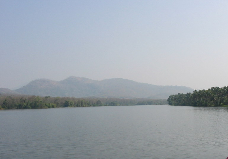
Mullaperiyar Dam , is a masonry gravity dam on the Periyar River in the Indian state of Kerala It is located above the sea level, on the Cardamom Hills of the Western Ghats in Thekkady, Idukki District of Kerala, India. It was constructed between 1887 and 1895 by John Pennycuick and also reached in an agreement to divert water eastwards to the Madras Presidency area (present-day Tamil Nadu). It has a height of from the foundation, and a length of . The Periyar National Park in Thekkady is located around the dam's reservoir. The dam is built at the confluence of Mullayar and Periyar rivers. The dam is located in Kerala on the river Periyar, but is operated and maintained by the neighbouring state of Tamil Nadu. Although the Periyar River has a total catchment area of 5398 km2 with 114 km2 downstream from the dam in Tamil Nadu, the catchment area of the Mullaperiyar Dam itself lies entirely in Kerala and thus not an inter-State river. On 21 November 2014, the water l ... [...More Info...] [...Related Items...] OR: [Wikipedia] [Google] [Baidu] |
Periyar (river)
Periyar, , (meaning: ''big river'') is the longest river and the river with the largest discharge potential in the Indian state of Kerala. It is one of the few perennial rivers in the region and provides drinking water for several major towns. The Periyar is of utmost significance to the economy of Kerala. It generates a significant proportion of Kerala's electrical power via the Idukki Dam and flows along a region of industrial and commercial activity. The river also provides water for irrigation and domestic use throughout its course besides supporting a rich fishery. Due to these reasons, the river has been named the "Lifeline of Kerala". Kochi city, in the vicinity of the river mouth draws its water supply from Aluva, an upstream site sufficiently free of seawater intrusion. Twenty five percent of Kerala's industries are along the banks of river Periyar. These are mostly crowded within a stretch of in the Eloor-Edayar region (Udhyogamandal), about north of Kochi harbor. ... [...More Info...] [...Related Items...] OR: [Wikipedia] [Google] [Baidu] |
John Pennycuick (British Engineer)
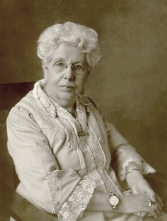
Colonel John Pennycuick CSI (15 January 1841 – 9 March 1911) was a British Army engineer and civil servant who served as a member of the Madras Legislative Council. He undertook several irrigation works which included the masonry dam of Mullaperiyar on the Periyar River. Early life Pennycuick was born on 15 January 1841 at Pune, a younger son of Brigadier-General John Pennycuick and his wife Sarah. His father and eldest brother, Alexander, fought and died at the Battle of Chillianwalla in 1849. He was educated at Cheltenham College. Career Pennycuick entered the East India Company Military College at Addiscombe, Surrey, in 1857, and was commissioned as a lieutenant in the Madras Engineer Group in December 1858. He arrived in India on 11 November 1860. He became a Second Captain on 15 October 1870; and a major on 8 December 1876. He commanded H company at Zoulla during the Abyssinian campaign of 1868. He received a medal for his participation in the expedition. ... [...More Info...] [...Related Items...] OR: [Wikipedia] [Google] [Baidu] |
Thekkady
Thekkady( Idukki district) is a town near Periyar National Park, an important tourist attraction in the Kerala state of India. The name Thekkady is derived from the word "thekku" which means teak. Temperatures are lowest in the months of December–January and highest in the months of April–May. Overview Thekkady is situated about from Trivandrum, 145 km from Cochin International Airport and 114 km from Kottayam railway station. Thekkady is located 4 km away from Kumily, a plantation town in Kerala-Tamil Nadu border. The sanctuary is famous for its dense evergreen, semi-evergreen, moist deciduous forests and savanna grass lands. It is home to herds of elephants, sambar, tigers, gaur, lion-tailed macaques and Nilgiri langurs. Due to the density of the forest, sightings of elephants and especially tigers are highly unlikely. The Periyar Wildlife Sanctuary is spread across , of which is thick evergreen forest. The wildlife sanctuary was declared a tiger ... [...More Info...] [...Related Items...] OR: [Wikipedia] [Google] [Baidu] |
Madras Presidency
The Madras Presidency, or the Presidency of Fort St. George, also known as Madras Province, was an administrative subdivision (presidency) of British India. At its greatest extent, the presidency included most of southern India, including the whole of the Indian states of Tamil Nadu, Andhra state and some parts of Kerala, Karnataka, Odisha and the union territory of Lakshadweep. The city of Madras was the winter capital of the Presidency and Ootacamund or Ooty, the summer capital. The coastal regions and northern part of Island of Ceylon at that time was a part of Madras Presidency from 1793 to 1798 when it was created a Crown colony. Madras Presidency was neighboured by the Kingdom of Mysore on the northwest, Kingdom of Cochin on the southwest, and the Kingdom of Hyderabad on the north. Some parts of the presidency were also flanked by Bombay Presidency ( Konkan) and Central Provinces and Berar (Madhya Pradesh). In 1639, the English East India Company purchased the ... [...More Info...] [...Related Items...] OR: [Wikipedia] [Google] [Baidu] |
Periyar National Park
Periyar National Park and Wildlife Sanctuary (PNP) is a protected area located in the districts of Idukki and Pathanamthitta in Kerala, India. It is notable as an elephant reserve and a tiger reserve. The protected area encompasses , of which of the core zone was declared as the Periyar National Park in 1982. The park is a repository of rare, endemic, and endangered flora and fauna and forms the major watershed of two important rivers of Kerala: the Periyar and the Pamba. The park is located high in the Cardamom Hills and Pandalam Hills of the south Western Ghats along the border with Tamil Nadu. It is from Kumily, approximately east of Kottayam, west of Madurai and southeast of Kochi. History The first official action towards the conservation of wildlife and biodiversity in Kerala was taken in 1934 by the Maharaja of Travancore, Chithira Thirunal Balarama Varma, by declaring the forests around Periyar lake as a private reserve to stop the encroachment of tea p ... [...More Info...] [...Related Items...] OR: [Wikipedia] [Google] [Baidu] |
Pradani Muthirulappa Pillai
Pradani Muthirulappa Pillai (or Muthu Irulappa Pillai), son of Sundra Pandya Pillai, of the 18th century was a minister of Ramnad during the reign of Muthuramalinga Sethupathy. As the king was a minor, just an infant, the pradani took over the controls of a languishing kingdom and brought order and a sense of well-being by his careful planning and introduction of several tax and revenue reforms. Due to ideological differences that arose between the king and himself, he was forced to retire from his position in disgrace, was labelled as a traitor of India, and was forgotten. The Ramnad Manual amply records his administrative prowess and tax reforms. The Period The last few decades of the 18th century were a troubled period in the history of India, and in the history of the kingdom of Ramnad in particular. In this period, the Marava chieftains resisted the suzerainty of the Muslim Muslims ( ar, المسلمون, , ) are people who adhere to Islam, a monotheistic relig ... [...More Info...] [...Related Items...] OR: [Wikipedia] [Google] [Baidu] |
Mullayar
Mullayar River is a tributary of the Periyar River, the longest river in Kerala. It originates at Kottamalai peak in the Periyar Tiger Reserve. The Mullayar flows west through the reserve and joins the Periyar at Mullakudy just at the beginning of the Periyar lake formed by the Mullaperiyar dam Mullaperiyar Dam , is a masonry gravity dam on the Periyar River in the Indian state of Kerala It is located above the sea level, on the Cardamom Hills of the Western Ghats in Thekkady, Idukki District of Kerala, India. It was constructed .... See also * Periyar - Main river Other major tributaries of Periyar river * Muthirapuzha River * Cheruthoni * Perinjankutti * Edamalayar References Rivers of Idukki district Periyar (river) {{India-river-stub ... [...More Info...] [...Related Items...] OR: [Wikipedia] [Google] [Baidu] |
Cardamom Hills
The Cardamom Hills or Yela Mala are mountain range of southern India and part of the southern Western Ghats located in Idukki district, Kerala, India. Their name comes from the cardamom spice grown in much of the hills' cool elevation, which also supports pepper and coffee. The Western Ghats and Periyar Sub-Cluster including the Cardamom Hills are UNESCO World Heritage Sites.UNESCO Retrieved 20 April 2007. Geography The Cardamom Hills central point is about . They cover about 2,800 km2 of mountainous terrain with deep valleys, and includes the drainages of the west flowing Periyar River, Periyar, Mullayar and Pamba rivers. It includes Idukki Dam and Mullaperiyar Dam. They conjoin the Anaimalai Hills to the northwest, the Palani Hills to the northeast and the Pothigai to the south as far as the Aryankavu pass (at c. 9° N). The crest of the hills form the boundary between Kerala and Tamil Nadu. Anamudi (8,842 ft (2695 m)) in Eravikulam National ... [...More Info...] [...Related Items...] OR: [Wikipedia] [Google] [Baidu] |
Vaigai River
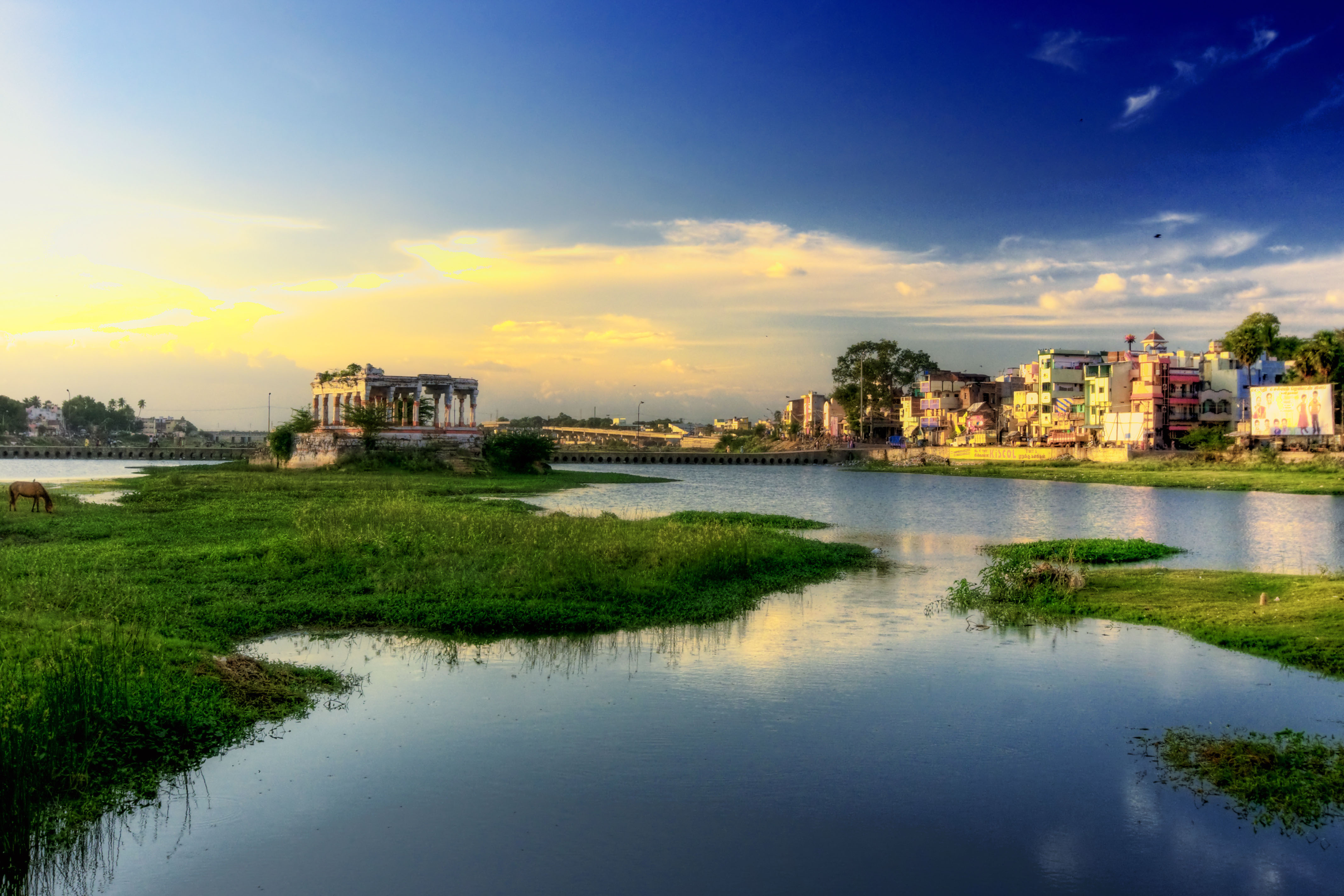
The Vaigai is a river in the Tamil Nadu state of southern India; it passes through the towns of Theni, Dindigul and Madurai. It originates in Varusanadu Hills, the Periyar Plateau of the Western Ghats range, and flows northeast through the Kambam Valley, which lies between the Palani Hills to the north and the Varushanad Hills to the south. The Vattaparai Falls are located on this river. As it rounds the eastern corner of the Varushanad Hills, the river turns southeast, running through the region of Pandya Nadu. Madurai, the largest city in the Pandya Nadu region and its ancient capital, lies on the Vaigai. The river empties into the Palk Bay near Alagankulam, close to Pamban Bridge in Ramanathapuram District. The Vaigai is long, with a drainage basin large. Vaigai Mention Sangam literature (circa 300 BCE to 300 CE) has paid many tributes to Vaigai, extolling it as 'the river that brings water when one touches it', viz the etymology Vai (place your) + gai (hands) = p ... [...More Info...] [...Related Items...] OR: [Wikipedia] [Google] [Baidu] |
Vaigai Dam
The Vaigai Dam is built across the Vaigai River near Andipatti, in the Theni district of Tamil Nadu, southern India. Near the dam, the Government of Tamil Nadu has constructed an Agricultural Research Station for researching the growing of a variety of crops, including rice, sorghum, blackgram, cowpea and cotton. History Vaigai Dam was inaugurated on 21 January 1959 by Tamil Nadu chief Minister K. Kamaraj. It One of the few dams which is not constructed in between two mountains so this dam completely depends on its own concrete strength. This dam is the life line of farmers of the five districts namely Theni, Dindigul, Madurai, Sivagangai and Ramanathapuram. It provides water for irrigation for the above-mentioned 5 districts as well as this dam also provides drinking water for major cities such as Theni, Madurai, Ramanathapuram Ramanathapuram (), also known as Ramnad, is a town and a municipality in Ramanathapuram district in the Indian state of Tamil Nadu. It is th ... [...More Info...] [...Related Items...] OR: [Wikipedia] [Google] [Baidu] |
India
India, officially the Republic of India ( Hindi: ), is a country in South Asia. It is the seventh-largest country by area, the second-most populous country, and the most populous democracy in the world. Bounded by the Indian Ocean on the south, the Arabian Sea on the southwest, and the Bay of Bengal on the southeast, it shares land borders with Pakistan to the west; China, Nepal, and Bhutan to the north; and Bangladesh and Myanmar to the east. In the Indian Ocean, India is in the vicinity of Sri Lanka and the Maldives; its Andaman and Nicobar Islands share a maritime border with Thailand, Myanmar, and Indonesia. Modern humans arrived on the Indian subcontinent from Africa no later than 55,000 years ago., "Y-Chromosome and Mt-DNA data support the colonization of South Asia by modern humans originating in Africa. ... Coalescence dates for most non-European populations average to between 73–55 ka.", "Modern human beings—''Homo sapiens''—originated in Africa. Th ... [...More Info...] [...Related Items...] OR: [Wikipedia] [Google] [Baidu] |
Theni
Theni is a valley town situated in the Indian state of Tamil Nadu at the foothills of Western Ghats. It is the headquarters of the Theni district, located in a distance of 70km from Madurai. It is known for the large-scale trading of garlic, cotton, cardamom, grapes, bananas, mango and chilli. It hosts the second largest weekly market in Tamil Nadu Tamil Nadu (; , TN) is a state in southern India. It is the tenth largest Indian state by area and the sixth largest by population. Its capital and largest city is Chennai. Tamil Nadu is the home of the Tamil people, whose Tamil languag ... and the fourth largest in South India. See also * Theni Allinagaram * India-based Neutrino Observatory References {{Authority control Cities and towns in Theni district ... [...More Info...] [...Related Items...] OR: [Wikipedia] [Google] [Baidu] |


