|
Mount Tigalalu
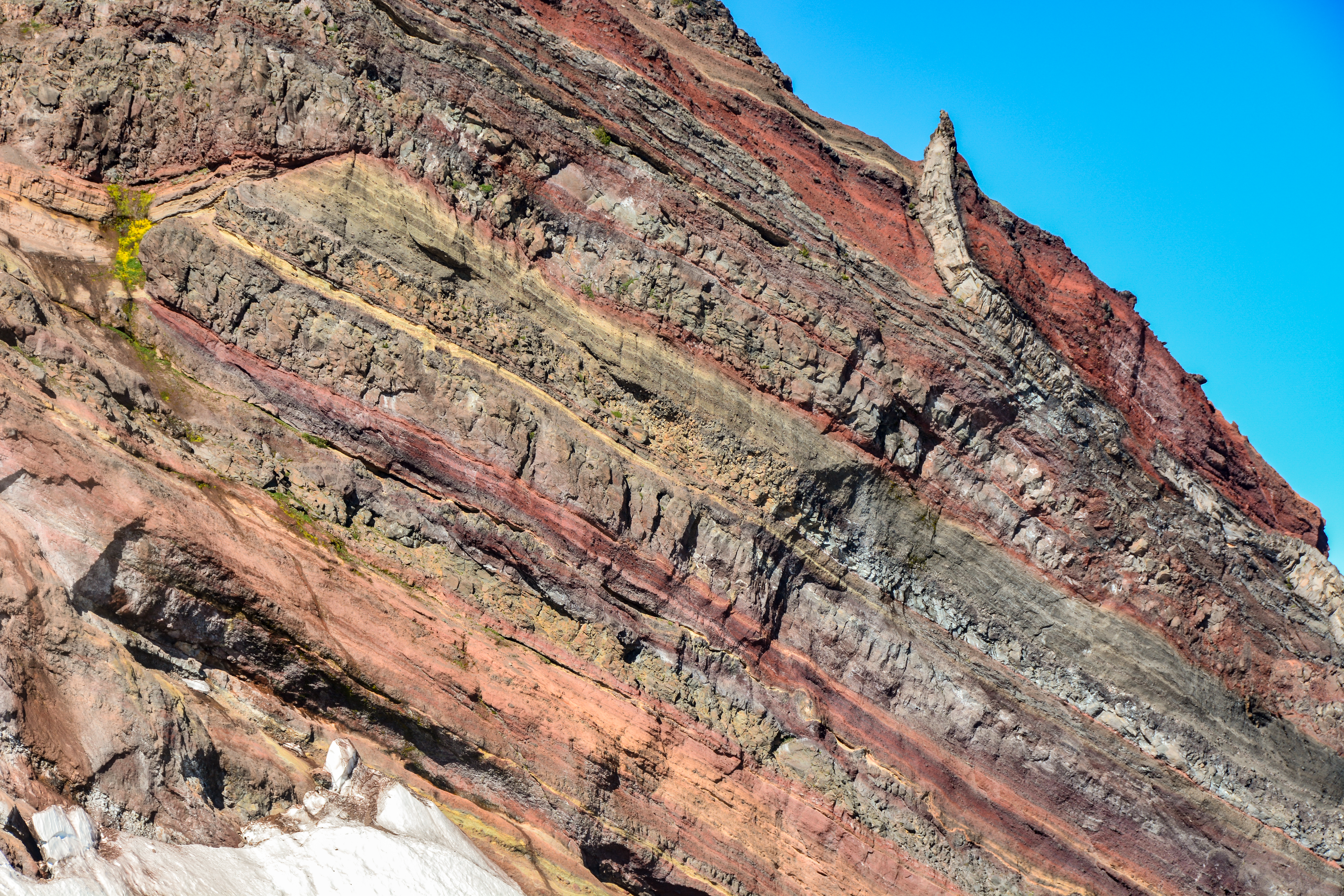
Mount Tigalalu at the western side of Halmahera island, Indonesia, is a stratovolcano located at the western end of Kayoa Island. Part of the volcano is flanked by coral limestones. See also * List of volcanoes in Indonesia The geography of Indonesia is dominated by volcanoes that are formed due to subduction zones between the Eurasian plate and the Indo-Australian plate. Some of the volcanoes are notable for their eruptions, for instance, Krakatoa for its glob ... References Stratovolcanoes of Indonesia Mountains of Indonesia Volcanoes of Halmahera {{NMaluku-geo-stub ... [...More Info...] [...Related Items...] OR: [Wikipedia] [Google] [Baidu] |
Halmahera
Halmahera, formerly known as Jilolo, Gilolo, or Jailolo, is the largest island in the Maluku Islands. It is part of the North Maluku province of Indonesia, and Sofifi, the capital of the province, is located on the west coast of the island. Halmahera has a land area of ; it is the largest island of Indonesia outside the five main islands. It had a population of 162,728 in 1995; by 2010, it had increased to 449,938 for the island itself (excluding the tip which is considered part of the Joronga Islands, but including Gebe and Ju islands) and 667,161 for the island group (including all of South Halmahera and Tidore, but not Ternate). Approximately half of the island's inhabitants are Muslim and half are Christian. History Sparsely-populated Halmahera's fortunes have long been closely tied to those of the smaller islands of Ternate and Tidore, both off its west coast. These islands were both the sites of major kingdoms in the era before Dutch East India Company colonized ... [...More Info...] [...Related Items...] OR: [Wikipedia] [Google] [Baidu] |
Stratovolcano
A stratovolcano, also known as a composite volcano, is a conical volcano built up by many layers (strata) of hardened lava and tephra. Unlike shield volcanoes, stratovolcanoes are characterized by a steep profile with a summit crater and periodic intervals of explosive eruptions and effusive eruptions, although some have collapsed summit craters called calderas. The lava flowing from stratovolcanoes typically cools and hardens before spreading far, due to high viscosity. The magma forming this lava is often felsic, having high-to-intermediate levels of silica (as in rhyolite, dacite, or andesite), with lesser amounts of less-viscous mafic magma. Extensive felsic lava flows are uncommon, but have travelled as far as . Stratovolcanoes are sometimes called composite volcanoes because of their composite stratified structure, built up from sequential outpourings of erupted materials. They are among the most common types of volcanoes, in contrast to the less common shield ... [...More Info...] [...Related Items...] OR: [Wikipedia] [Google] [Baidu] |
Kayoa Island
Kayoa (also Kaioa), or in the native language Pulau Urimatiti, is a group of 66 islands, part of the Maluku Islands. It is located in South Halmahera Regency, part of North Maluku Province of Indonesia. Geography The Kayoa Islands are near the southern end of a chain of volcanic islands off the western coast of Halmaherato (Halmahera region), to the south of Makian and to the north of Bacan. The 66 islands cover a land area of 179.97 km2. The main island is about 10 miles (16 km) long, about 9 miles (14.5 km) south of Makian with a line of hills along most of its length. The group forms four districts within South Halmahera Regency (although Kayoa Barat District - comprising Muari Island and 4 smaller islands - is actually closer to the Bacan Islands than to Kayoa Island), and it had a total population of 20,176 at the 2010 Census and 23,111 at the 2020 Census. The official estimate for mid 2021 was 23,226. The islands were for centuries the only place in the w ... [...More Info...] [...Related Items...] OR: [Wikipedia] [Google] [Baidu] |
List Of Volcanoes In Indonesia
The geography of Indonesia is dominated by volcanoes that are formed due to subduction zones between the Eurasian plate and the Indo-Australian plate. Some of the volcanoes are notable for their eruptions, for instance, Krakatoa for its global effects in 1883, the Lake Toba Caldera for its supervolcanic eruption estimated to have occurred 74,000 years before present which was responsible for six years of volcanic winter, and Mount Tambora for the most violent eruption in recorded history in 1815. Volcanoes in Indonesia are part of the Pacific Ring of Fire. The 150 entries in the list below are grouped into six geographical regions, four of which belong to the volcanoes of the Sunda Arc trench system. The remaining two groups are volcanoes of Halmahera, including its surrounding volcanic islands, and volcanoes of Sulawesi and the Sangihe Islands. The latter group is in one volcanic arc together with the Philippine volcanoes. The most active volcano is Mount Merapi on Ja ... [...More Info...] [...Related Items...] OR: [Wikipedia] [Google] [Baidu] |
Stratovolcanoes Of Indonesia
A stratovolcano, also known as a composite volcano, is a conical volcano built up by many layers (strata) of hardened lava and tephra. Unlike shield volcanoes, stratovolcanoes are characterized by a steep profile with a summit crater and periodic intervals of explosive eruptions and effusive eruptions, although some have collapsed summit craters called calderas. The lava flowing from stratovolcanoes typically cools and hardens before spreading far, due to high viscosity. The magma forming this lava is often felsic, having high-to-intermediate levels of silica (as in rhyolite, dacite, or andesite), with lesser amounts of less-viscous mafic magma. Extensive felsic lava flows are uncommon, but have travelled as far as . Stratovolcanoes are sometimes called composite volcanoes because of their composite stratified structure, built up from sequential outpourings of erupted materials. They are among the most common types of volcanoes, in contrast to the less common shield volcano ... [...More Info...] [...Related Items...] OR: [Wikipedia] [Google] [Baidu] |
Mountains Of Indonesia
A mountain is an elevated portion of the Earth's crust, generally with steep sides that show significant exposed bedrock. Although definitions vary, a mountain may differ from a plateau in having a limited summit area, and is usually higher than a hill, typically rising at least 300 metres (1,000 feet) above the surrounding land. A few mountains are isolated summits, but most occur in mountain ranges. Mountains are formed through tectonic forces, erosion, or volcanism, which act on time scales of up to tens of millions of years. Once mountain building ceases, mountains are slowly leveled through the action of weathering, through slumping and other forms of mass wasting, as well as through erosion by rivers and glaciers. High elevations on mountains produce colder climates than at sea level at similar latitude. These colder climates strongly affect the ecosystems of mountains: different elevations have different plants and animals. Because of the less hospitable terrain and ... [...More Info...] [...Related Items...] OR: [Wikipedia] [Google] [Baidu] |


