|
Mount McLennan (Victoria Land)
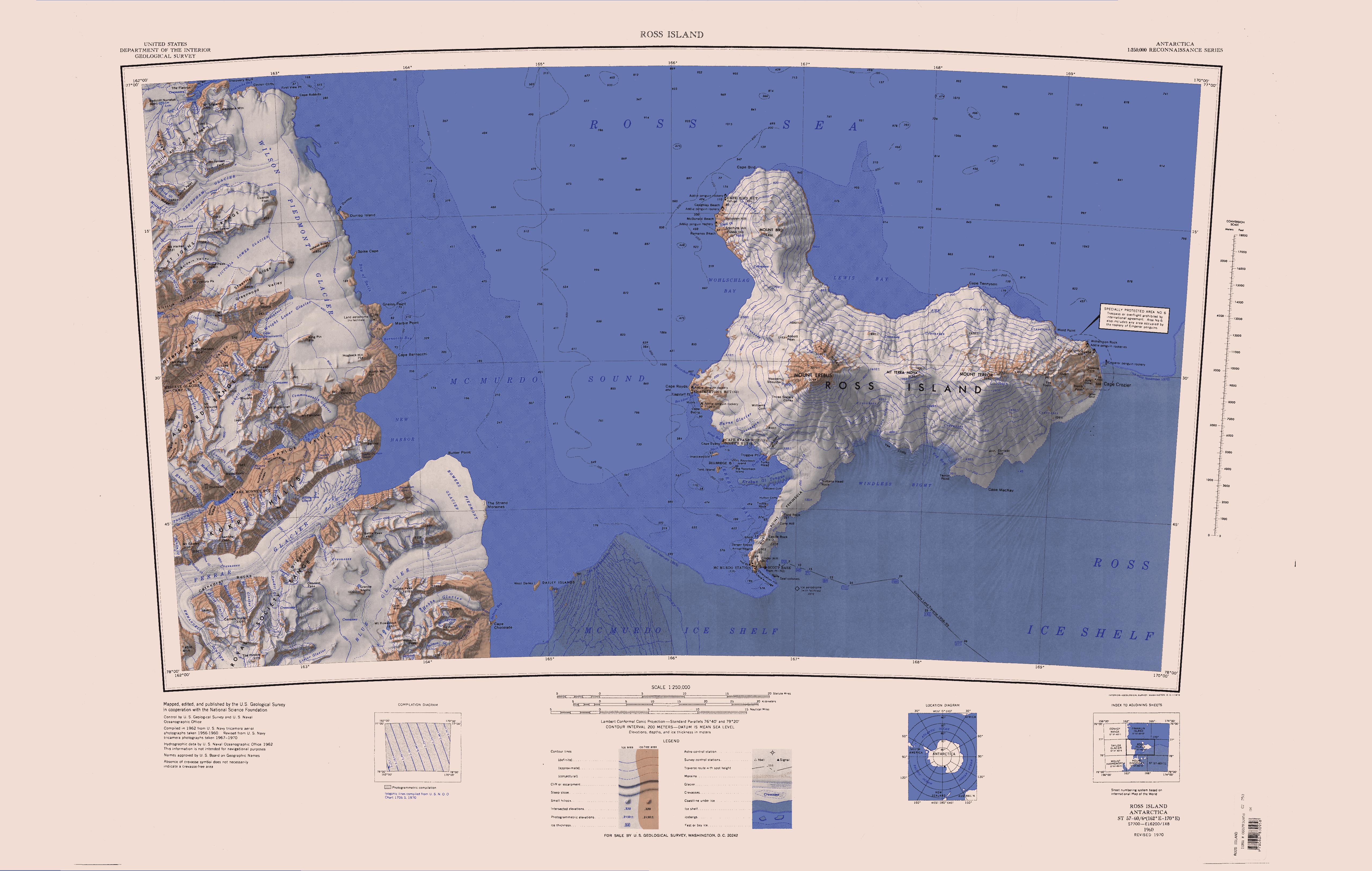
Mount McLennan is a prominent mountain rising over at the north side of Taylor Valley, surmounting the area at the heads of Canada Glacier, Commonwealth Glacier and Loftus Glacier, in Victoria Land, Antarctica. It was named by C.S. Wright of the British Antarctic Expedition (1910–13) for Professor McLennan, a physicist at Toronto University The University of Toronto (UToronto or U of T) is a public research university whose main campus is located on the grounds that surround Queen's Park in Toronto, Ontario, Canada. It was founded by royal charter in 1827 as King's College, t ..., Canada. Geologist Thomas E. Berg killed in helicopter crash (11/19/1969) on the side of Mount McLennan. New Zealand cameraman Jeremy Sykes also killed. References Mountains of Victoria Land McMurdo Dry Valleys {{McMurdoDryValleys-geo-stub ... [...More Info...] [...Related Items...] OR: [Wikipedia] [Google] [Baidu] |
Mountain
A mountain is an elevated portion of the Earth's crust, generally with steep sides that show significant exposed bedrock. Although definitions vary, a mountain may differ from a plateau in having a limited summit area, and is usually higher than a hill, typically rising at least above the surrounding land. A few mountains are inselberg, isolated summits, but most occur in mountain ranges. mountain formation, Mountains are formed through tectonic plate, tectonic forces, erosion, or volcanism, which act on time scales of up to tens of millions of years. Once mountain building ceases, mountains are slowly leveled through the action of weathering, through Slump (geology), slumping and other forms of mass wasting, as well as through erosion by rivers and glaciers. High elevations on mountains produce Alpine climate, colder climates than at sea level at similar latitude. These colder climates strongly affect the Montane ecosystems, ecosystems of mountains: different elevations hav ... [...More Info...] [...Related Items...] OR: [Wikipedia] [Google] [Baidu] |
Taylor Valley
Taylor Valley is an ice-free valley about long, once occupied by the receding Taylor Glacier. It lies north of the Kukri Hills between the Taylor Glacier and New Harbour in Victoria Land, Antarctica. Taylor Valley is the southernmost of the three large McMurdo Dry Valleys in the Transantarctic Mountains, located west of McMurdo Sound. Exploration and naming The Taylor Valley was discovered by the British National Antarctic Expedition (BrNAE, 1901–04). It was more fully explored by the British Antarctic Expedition, 1907–09 (BrAE) and the British Antarctic Expedition, 1910–13. It was named after the Taylor Glacier. Geology In the oblique aerial photo at right, the tan bands are sandstone layers from the Beacon Supergroup, a series of sedimentary rock layers formed at the bottom of a shallow sea between 250 million and 400 million years ago. Throughout that period, Earth's southern continents were locked into the supercontinent Gondwana. The dark band of rock th ... [...More Info...] [...Related Items...] OR: [Wikipedia] [Google] [Baidu] |
Canada Glacier
Canada Glacier is a small glacier flowing south-east into the northern side of Taylor Valley in Victoria Land, Antarctica. It is in the Ross Dependency. Its melting season is in the summer. Description The glacier receives less than 10 cm of snowfall annually, and is (technically) an ecosystem. Its seasonal melting feeds Lake Hoare to the west and Lake Fryxell to the east. At the north side of its head sit the Hothem Cliffs. History The glacier was discovered and named in the course of the Terra Nova Expedition (1910–1913), under Robert Scott. Charles S. Wright, a Canadian physicist, was a member of the party that explored the area. Antarctic Specially Protected Area An area of about 1 km2 on the eastern side of the glacier is protected under the Antarctic Treaty System as Antarctic Specially Protected Area (ASPA) No.131 because it contains some of the richest plant growth (bryophytes and algae) in the McMurdo Dry Valleys region. It is exceptionally import ... [...More Info...] [...Related Items...] OR: [Wikipedia] [Google] [Baidu] |
Commonwealth Glacier
Taylor Valley is an ice-free valley about long, once occupied by the receding Taylor Glacier. It lies north of the Kukri Hills between the Taylor Glacier and New Harbour (Antarctica), New Harbour in Victoria Land, Antarctica. Taylor Valley is the southernmost of the three large McMurdo Dry Valleys in the Transantarctic Mountains, located west of McMurdo Sound. Exploration and naming The Taylor Valley was discovered by the British National Antarctic Expedition (BrNAE, 1901–04). It was more fully explored by the British Antarctic Expedition, 1907–09 (BrAE) and the British Antarctic Expedition, 1910–13. It was named after the Taylor Glacier. Geology In the oblique aerial photo at right, the tan bands are sandstone layers from the Beacon Supergroup, a series of sedimentary rock layers formed at the bottom of a shallow sea between 250 million and 400 million years ago. Throughout that period, Earth's southern continents were locked into the supercontinent Gondwana. The dark ... [...More Info...] [...Related Items...] OR: [Wikipedia] [Google] [Baidu] |
Loftus Glacier
The Newall Glacier () is a glacier in the east part of the Asgard Range of Victoria Land, It flows east between Mount Newall and Mount Weyant into the Wilson Piedmont Glacier. The Newall Glacier was mapped by the N.Z. Northern Survey Party of the CTAE, 1956-58, who named it after nearby Mount Newall. Location The Newall Glacier forms to the east of the Lacroix Glacier, which flows south into Taylor Valley. It flows northeast, past the head of Suess Glacier, past Mount Valkyrie to the west and Mount Weyant to the east. It turns east and is joined by the Loftus Glacier below Mount Newall. It continues east past the head of Commonwealth Glacier and joins with Wright Lower Glacier as it flows into Wilson Piedmont Glacier. Features Features, from southwest to northeast, include Lyons Cone, Twickler Cone, Unwin Ledge, Hothern Cliffs, Mount Hall, Loftus Glacier, Mount Weyant, Mount Saga, Hetha Peak, Commanda Glacier and Repeater Glacier. Lyons Cone . A cone shaped peak ... [...More Info...] [...Related Items...] OR: [Wikipedia] [Google] [Baidu] |
Victoria Land
Victoria Land is a region in eastern Antarctica which fronts the western side of the Ross Sea and the Ross Ice Shelf, extending southward from about 70°30'S to 78th parallel south, 78°00'S, and westward from the Ross Sea to the edge of the Antarctic Plateau. It was discovered by Captain James Clark Ross in January 1841 and named after Victoria of the United Kingdom, Queen Victoria. The rocky promontory of Minna Bluff is often regarded as the southernmost point of Victoria Land, and separates the Scott Coast to the north from the Hillary Coast of the Ross Dependency to the south. History Early explorers of Victoria Land include James Clark Ross and Douglas Mawson. In 1979, scientists discovered a group of 309 Meteorite, meteorites in Antarctica, some of which were found near the Allan Hills in Victoria Land. The meteorites appeared to have undergone little change since they were formed at what scientists believe was the birth of the Solar System. In 1981, Lichen, lichens fo ... [...More Info...] [...Related Items...] OR: [Wikipedia] [Google] [Baidu] |
Terra Nova Expedition
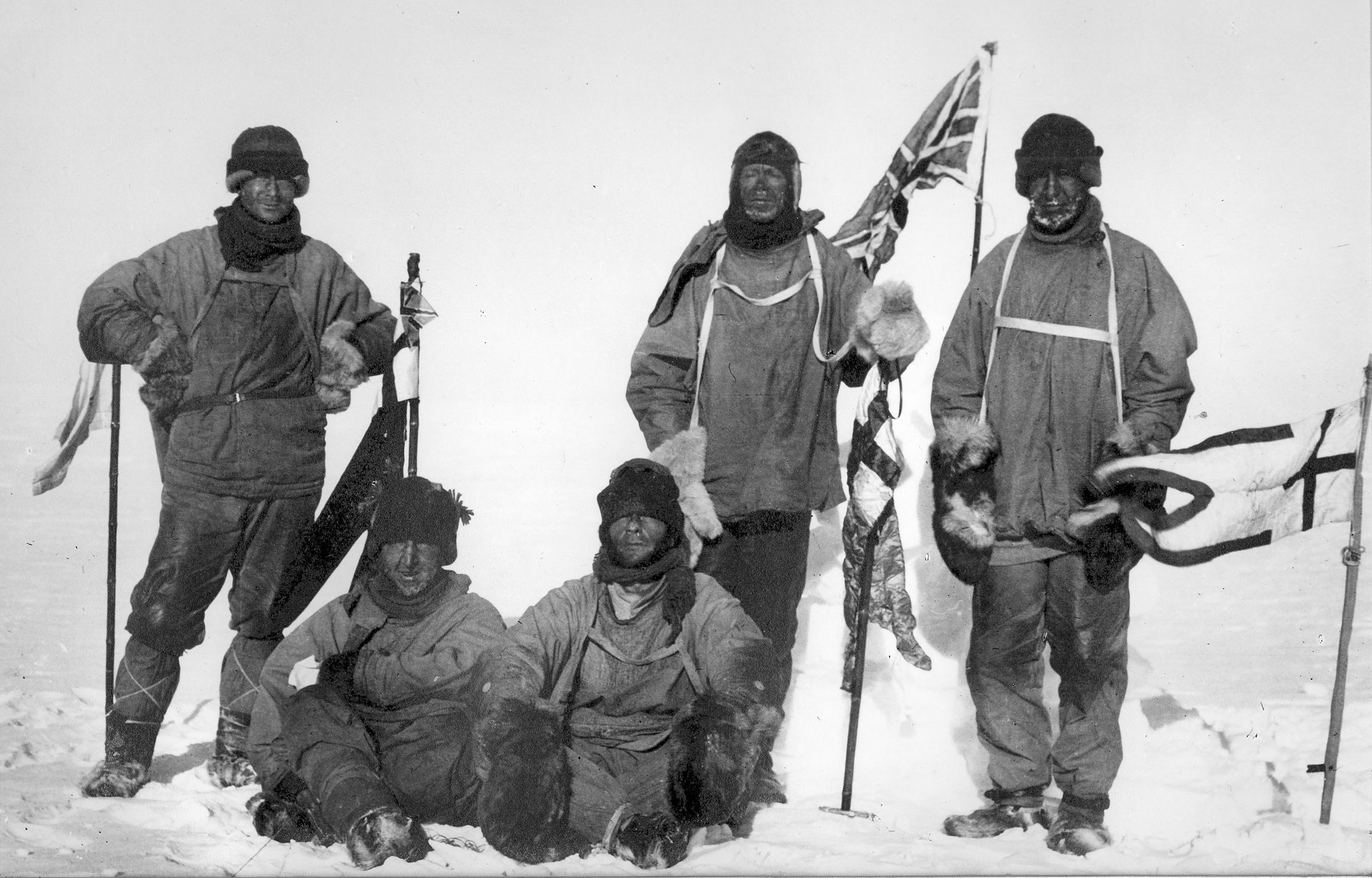
The ''Terra Nova'' Expedition, officially the British Antarctic Expedition, was an expedition to Antarctica which took place between 1910 and 1913. Led by Captain Robert Falcon Scott, the expedition had various scientific and geographical objectives. Scott wished to continue the scientific work that he had begun when leading the ''Discovery'' Expedition from 1901 to 1904, and wanted to be the first to reach the geographic South Pole. He and four companions attained the pole on 17 January 1912, where they found that a Norwegian team led by Roald Amundsen had preceded them by 34 days. Scott's party of five died on the return journey from the pole; some of their bodies, journals, and photographs were found by a search party eight months later. The expedition, named after its supply ship, was a private venture financed by public contributions and a government grant. It had further backing from the Admiralty, which released experienced seamen to the expedition, and from the Royal ... [...More Info...] [...Related Items...] OR: [Wikipedia] [Google] [Baidu] |
Toronto University
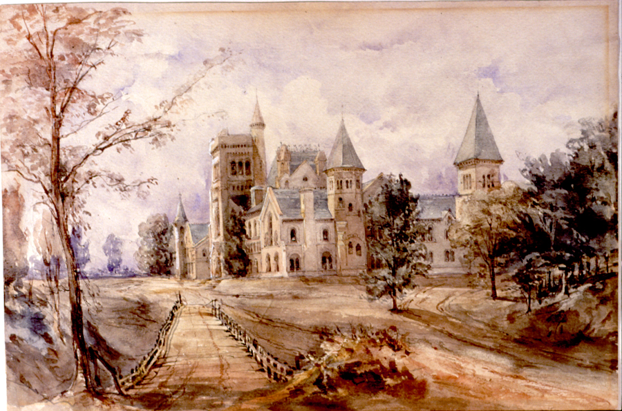
The University of Toronto (UToronto or U of T) is a public research university whose main campus is located on the grounds that surround Queen's Park in Toronto, Ontario, Canada. It was founded by royal charter in 1827 as King's College, the first institution of higher learning in Upper Canada. Originally controlled by the Church of England, the university assumed its present name in 1850 upon becoming a secular institution. It has three campuses: Mississauga, St. George, and Scarborough. Its main campus, St. George, is the oldest of the three and located in Downtown Toronto. U of T operates as a collegiate university, comprising 11 colleges, each with substantial autonomy on financial and institutional affairs and significant differences in character and history. The University of Toronto is the largest university in Canada with a total of 99,794 students across its three campuses. It offers over 700 undergraduate and 200 graduate programs. The university receives the most ... [...More Info...] [...Related Items...] OR: [Wikipedia] [Google] [Baidu] |
Mountains Of Victoria Land
A mountain is an elevated portion of the Earth's crust, generally with steep sides that show significant exposed bedrock. Although definitions vary, a mountain may differ from a plateau in having a limited summit area, and is usually higher than a hill, typically rising at least above the surrounding land. A few mountains are inselberg, isolated summits, but most occur in mountain ranges. mountain formation, Mountains are formed through tectonic plate, tectonic forces, erosion, or volcanism, which act on time scales of up to tens of millions of years. Once mountain building ceases, mountains are slowly leveled through the action of weathering, through Slump (geology), slumping and other forms of mass wasting, as well as through erosion by rivers and glaciers. High elevations on mountains produce Alpine climate, colder climates than at sea level at similar latitude. These colder climates strongly affect the Montane ecosystems, ecosystems of mountains: different elevations hav ... [...More Info...] [...Related Items...] OR: [Wikipedia] [Google] [Baidu] |


