|
Mount Belknap (Utah)
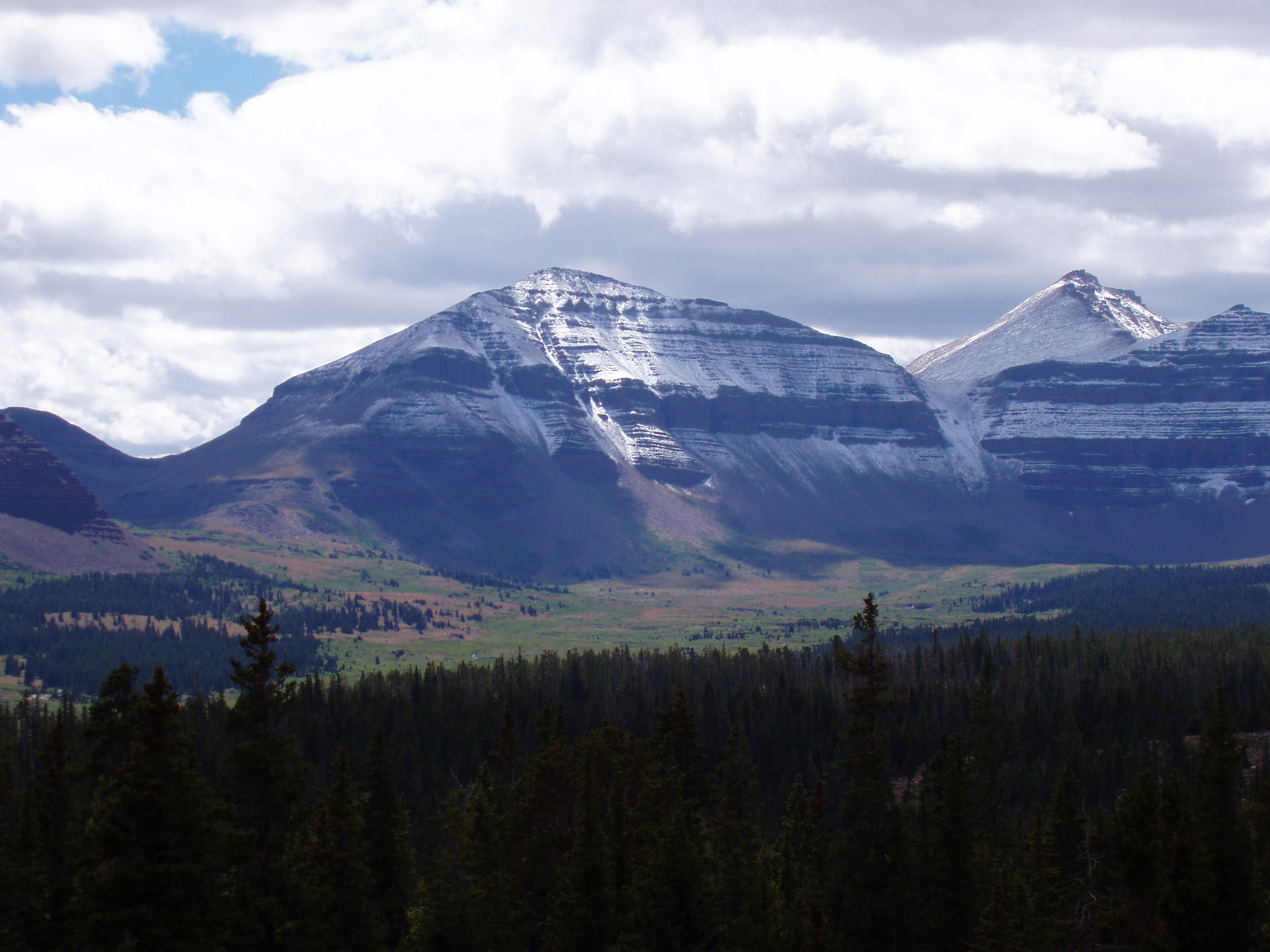
Mount Belknap is a mountain summit in the Tushar Mountains of Utah, United States. Description Mount Belknap is set in the Fishlake National Forest on the boundary that Beaver County shares with Piute County. It ranks as the second-highest peak in the Tushar Mountains, second-highest in each county and 73rd-highest in the state. Precipitation runoff from the mountain drains into the Sevier River watershed via Blue Lake Creek, Fish Creek, and Beaver Creek. Topographic relief is significant as the summit rises over above Fish Creek in one mile (1.6 km). Mount Belknap is named after William Worth Belknap (1829–1890), the United States Secretary of War who served under President Ulysses S. Grant. [...More Info...] [...Related Items...] OR: [Wikipedia] [Google] [Baidu] |
Delano Peak
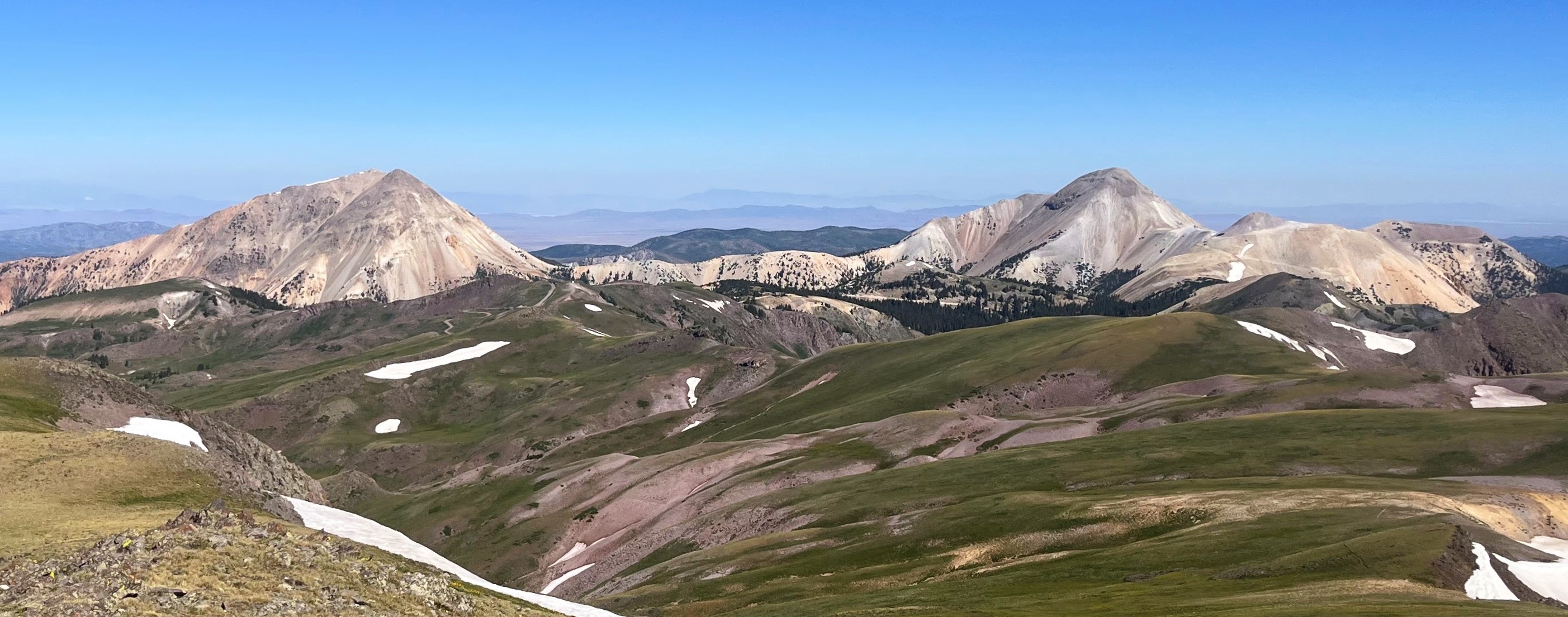
Delano Peak is a mountain in the Tushar Mountains in the Fishlake National Forest in Beaver and Piute counties in Utah, United States. Description The peak (pronounced deh-lah-no), is the highest point in the Tushar Mountains and in both Beaver and Piute counties. The Tushar Mountains are the third-highest range in the state, after the Uinta Mountains and the La Sal Range, though Delano Peak itself is surpassed in height by at least thirty-one other Utah peaks. The mountain is named for Columbus Delano (1809–1896), Secretary of the Interior during the Grant administration. Delano Peak is located just east of Beaver, and can be seen clearly from Interstate 70 and Interstate 15. Climate See also * List of mountains in Utah Mountains in Utah are numerous and have varying elevations and prominences. Kings Peak (Utah), Kings Peak, in the Uinta Mountains in Duchesne County, Utah, is the highest point in the state and has the greatest prominence. It has elevation an ... ... [...More Info...] [...Related Items...] OR: [Wikipedia] [Google] [Baidu] |
Sevier River
The Sevier River (pronounced "severe") is a -long river in the Great Basin of southwestern Utah in the United States. Originating west of Bryce Canyon National Park, the river flows north through a chain of high farming valleys and steep canyons along the west side of the Sevier Plateau before turning southwest and terminating in the endorheic basin of Sevier Lake in the Sevier Desert. It is used extensively for irrigation along its course, with the consequence that Sevier Lake is usually dry. The Sevier River drainage basin of covers more than 13 percent of Utah and includes parts of ten counties, of which the river flows through seven. The name of the river is derived from the Spanish ''Río Severo'', "violent river". The Sevier is the longest river entirely within the state of Utah. Course The Sevier River is formed by the confluence of Minnie Creek and Tyler Creek in Long Valley in Kane County. The headwaters are at an elevation of between the Markagunt Plateau ... [...More Info...] [...Related Items...] OR: [Wikipedia] [Google] [Baidu] |
Three-thousanders Of The United States
Three-thousanders are mountains with a height of between , but less than above sea level. Similar terms are commonly used for mountains of other height brackets e. g. four-thousanders or eight-thousanders. In Britain, the term refers to mountains above . Climatological significance In temperate latitudes three-thousanders play an important role, because even in summer they lie below the zero degree line for weeks. Thus the chains of three-thousanders always form important climatic divides and support glaciation - in the Alps the contour is roughly the general limit of the "nival step"; only a few glaciated mountains are under (the Dachstein, the easternmost glaciated mountain in the Alps, is, at , not a three-thousander). In the Mediterranean, however, the three-thousanders remain free of ice and, in the tropics, they are almost insignificant from a climatic perspective; here the snow line lies at around to , and in the dry continental areas (Trans-Himalayas, Andes) it m ... [...More Info...] [...Related Items...] OR: [Wikipedia] [Google] [Baidu] |
Mountains Of Beaver County, Utah
A mountain is an elevated portion of the Earth's crust, generally with steep sides that show significant exposed bedrock. Although definitions vary, a mountain may differ from a plateau in having a limited summit area, and is usually higher than a hill, typically rising at least above the surrounding land. A few mountains are isolated summits, but most occur in mountain ranges. Mountains are formed through tectonic forces, erosion, or volcanism, which act on time scales of up to tens of millions of years. Once mountain building ceases, mountains are slowly leveled through the action of weathering, through slumping and other forms of mass wasting, as well as through erosion by rivers and glaciers. High elevations on mountains produce colder climates than at sea level at similar latitude. These colder climates strongly affect the ecosystems of mountains: different elevations have different plants and animals. Because of the less hospitable terrain and climate, mountains te ... [...More Info...] [...Related Items...] OR: [Wikipedia] [Google] [Baidu] |
Mount Baldy (Beaver County, Utah)
Mount Baldy is a summit with an elevation of , in the Tushar Mountains in Utah, United States. Description Mount Baldy is set in the Fishlake National Forest on the boundary that Beaver County, Utah, Beaver County shares with Piute County, Utah, Piute County. It ranks as the third-highest peak in the Tushar Mountains, third-highest in each county and 77th-highest in the state. Precipitation runoff from the mountain drains into the Sevier River watershed. This mountain's toponym has been officially adopted by the United States Board on Geographic Names. See also * List of peaks named Baldy * List of mountains in Utah References Mountains of Utah Mountains of Beaver County, Utah Three-thousanders of the United States Mountains of Piute County, Utah Fishlake National Forest {{US-geology-stub ... [...More Info...] [...Related Items...] OR: [Wikipedia] [Google] [Baidu] |
List Of Mountains In Utah
Mountains in Utah are numerous and have varying elevations and prominences. Kings Peak (Utah), Kings Peak, in the Uinta Mountains in Duchesne County, Utah, is the highest point in the state and has the greatest prominence. It has elevation and prominence . It also has topographic isolation of , highest amongst summits of Utah having at least 500 meters of prominence. For lists of the top 50 peaks in Utah by elevation, prominence, and topographic isolation, see List of mountain peaks of Utah. This "List of mountains in Utah" should include all of those (but does not yet) and more. To see locations of all mountains having coordinates in this article (primarily from just three counties in the state, so far) together in one map, click on "Map all coordinates using OpenStreetMap, OSM" at the right side of this page. Partial lists of mountains in just a few of List of counties in Utah, Utah's 29 counties are below. Salt Lake County Mountains in Salt Lake County, Utah ... [...More Info...] [...Related Items...] OR: [Wikipedia] [Google] [Baidu] |
Subarctic Climate
The subarctic climate (also called subpolar climate, or boreal climate) is a continental climate with long, cold (often very cold) winters, and short, warm to cool summers. It is found on large landmasses, often away from the moderating effects of an ocean, generally at latitudes from 50°N to 70°N, poleward of the humid continental climates. Like other Class D climates, they are rare in the Southern Hemisphere, only found at some isolated highland elevations. Subarctic or boreal climates are the source regions for the cold air that affects temperate latitudes to the south in winter. These climates represent Köppen climate classification ''Dfc'', ''Dwc'', ''Dsc'', ''Dfd'', ''Dwd'' and ''Dsd''. Description This type of climate offers some of the most extreme seasonal temperature variations found on the planet: in winter, temperatures can drop to below and in summer, the temperature may exceed . However, the summers are short; no more than three months of the year (but at least on ... [...More Info...] [...Related Items...] OR: [Wikipedia] [Google] [Baidu] |
Köppen Climate Classification
The Köppen climate classification divides Earth climates into five main climate groups, with each group being divided based on patterns of seasonal precipitation and temperature. The five main groups are ''A'' (tropical), ''B'' (arid), ''C'' (temperate), ''D'' (continental), and ''E'' (polar). Each group and subgroup is represented by a letter. All climates are assigned a main group (the first letter). All climates except for those in the ''E'' group are assigned a seasonal precipitation subgroup (the second letter). For example, ''Af'' indicates a tropical rainforest climate. The system assigns a temperature subgroup for all groups other than those in the ''A'' group, indicated by the third letter for climates in ''B'', ''C'', ''D'', and the second letter for climates in ''E''. Other examples include: ''Cfb'' indicating an oceanic climate with warm summers as indicated by the ending ''b.'', while ''Dwb'' indicates a semi-Monsoon continental climate, monsoonal continental climate ... [...More Info...] [...Related Items...] OR: [Wikipedia] [Google] [Baidu] |
United States Board On Geographic Names
The United States Board on Geographic Names (BGN) is a Federal government of the United States, federal body operating under the United States Secretary of the Interior. The purpose of the board is to establish and maintain uniform usage of geography, geographic names throughout the federal government of the United States. History Following the American Civil War, more and more American pioneer, American settlers began moving westward, prompting the Federal government of the United States, U.S. federal government to pursue some sort of consistency for referencing landmarks on maps and in official documents. As such, on January 8, 1890, Thomas Corwin Mendenhall, superintendent of the United States Coast and Geodetic Survey Office, wrote to 10 noted geographers "to suggest the organization of a Board made up of representatives from the different Government services interested, to which may be referred any disputed question of geographical orthography." President Benjamin Harrison si ... [...More Info...] [...Related Items...] OR: [Wikipedia] [Google] [Baidu] |
Ulysses S
Ulysses is the Latin Latin ( or ) is a classical language belonging to the Italic languages, Italic branch of the Indo-European languages. Latin was originally spoken by the Latins (Italic tribe), Latins in Latium (now known as Lazio), the lower Tiber area aroun ... name for Odysseus, a legendary Greek hero recognized for his intelligence and cunning. He is famous for his long, adventurous journey home to Ithaca after the Trojan War, as narrated in Homer's Odyssey. Ulysses may also refer to: People * Ulysses (given name), including a list of people with this name Places * 5254 Ulysses, an asteroid Places in the United States * Ulysses, Kansas * Ulysses, Kentucky * Ulysses, Nebraska * Ulysses Township, Butler County, Nebraska * Ulysses, New York * Ulysses, Pennsylvania * Ulysses Township, Pennsylvania Animals * Ulysses butterfly (''Papilio ulysses'') a butterfly endemic to Australasia * Ulysses (horse) (born 2013), a thoroughbred racehorse Arts and enter ... [...More Info...] [...Related Items...] OR: [Wikipedia] [Google] [Baidu] |
United States Secretary Of War
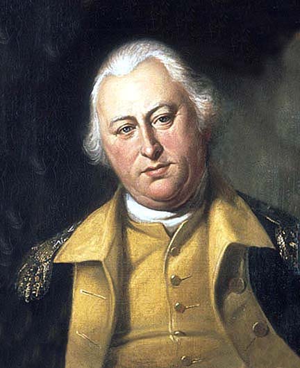
The secretary of war was a member of the President of the United States, U.S. president's United States Cabinet, Cabinet, beginning with George Washington's Presidency of George Washington, administration. A similar position, called either "Secretary at War" or "Secretary of War", had been appointed to serve the Congress of the Confederation under the Articles of Confederation between 1781 and 1789. Benjamin Lincoln and later Henry Knox held the position. When Washington was inaugurated as the first President under the United States Constitution, Constitution, he appointed Knox to continue serving as Secretary of War. The secretary of war was the head of the United States Department of War, War Department. At first, he was responsible for all military affairs, including United States Navy, naval affairs. In 1798, the United States Secretary of the Navy, secretary of the Navy was created by statute, and the scope of responsibility for this office was reduced to the affairs of the ... [...More Info...] [...Related Items...] OR: [Wikipedia] [Google] [Baidu] |


