|
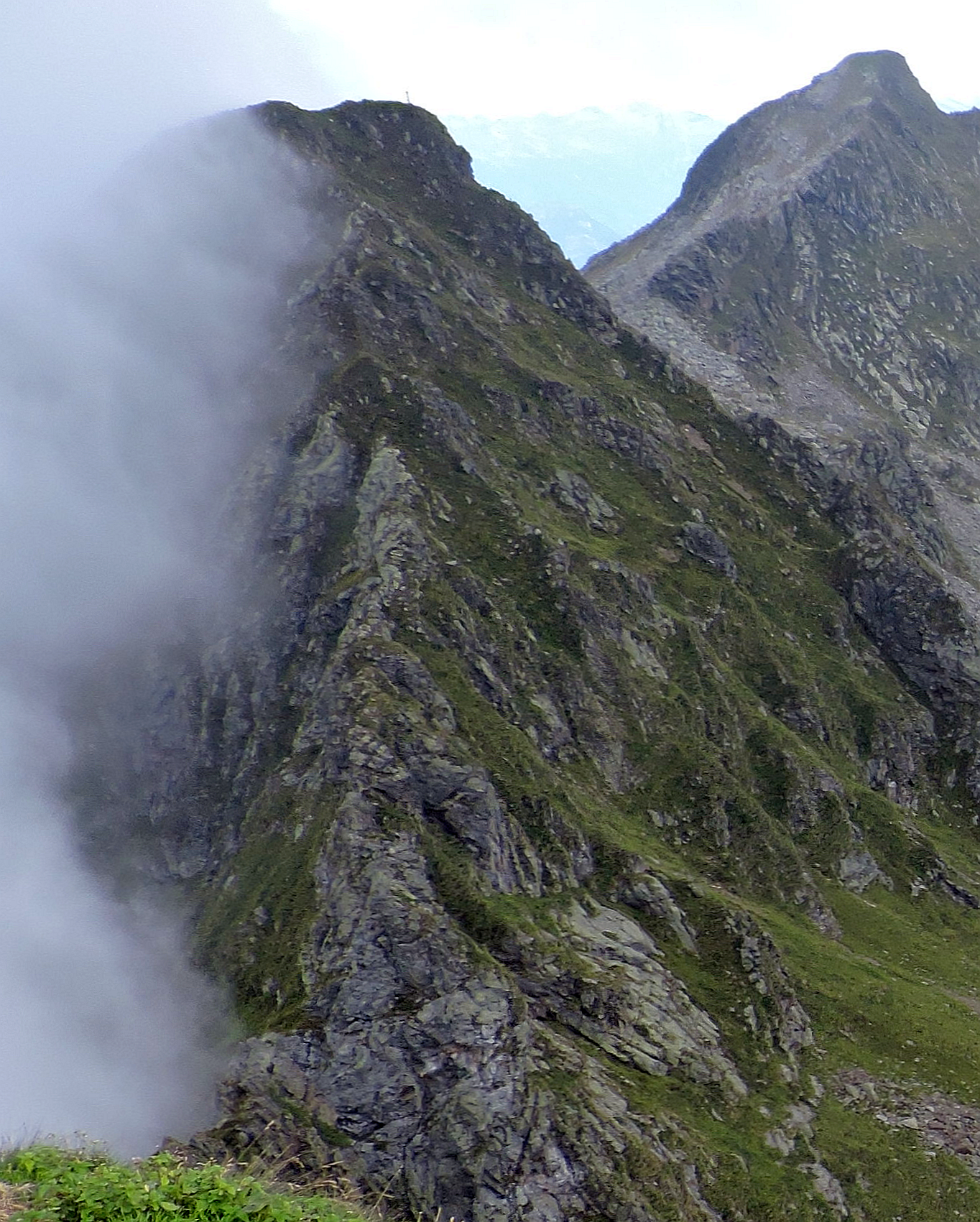
Monte Capezzone
The Monte Capezzone (in Walser German, Titzschu ''Jungebärg'') is a mountain in the Pennine Alps of north-western Italy; with an elevation of is the highest peak of the Strona (river), Strona Valley. Geography The mountain is located at the tripoint between three valleys: Strona (river), Valstrona, Valle Anzasca and Valle Mastallone (the latter a side valley of Valsesia). The Sesia/Anzasca wayer divide goes on westwards with Monte Mora () and Cima Cresta . From the summit of Monte Capezzone starts the dividing range between Val Strona and Val Mastallone which, heading South, after the ''Colle della Crocetta'' and the ''Cima Lago'' () reaches the Altemberg (Alpi Cusiane). Estwards the water divide between the valleys of the Strona (river), Strona and the Anza (river), Anza heads towards the Monte Massone. Administratively the summit of Monte Capezzone is the tripoint where the borders of the comunes of Rimella (province of Vercelli, VC), Calasca-Castiglione (province of Verb ... [...More Info...] [...Related Items...] OR: [Wikipedia] [Google] [Baidu] |
Cima Altemberg
The Altemberg is a mountain in the Pennine Alps of north-western Italy; with an elevation of is the highest peak of the Alpi Cusiane. Toponymy The name of the mountain is connected to the Walser German, a language spoken by people who settled into the upper valley of the Strona and Sesia centuries ago. In german language, German ''Alten'' means ''old'' while ''Berg'' means ''hill'' or ''mountain'', so the English meaning of the name could be ''old mountain'' (''vecchia montagna'' in Italian language, Italian). Geography The Altemberg is located on the water divide between Strona (river), Strona and Sesia valleys, South of the ''Bocchetta Stretta'' pass, which divides it from the neighbouring Cima Lago. Towards SE the ridge goes on with a saddle named ''Bocchetta delle Vacche'' and the Cima del Pizzo (2,233 m). Administratively the mountain belongs to both the comunes of Rimella (West of the summit) and Valstrona.''Carta Tecnica Regionale'' raster 1:10.000 (vers.3.0), Regio ... [...More Info...] [...Related Items...] OR: [Wikipedia] [Google] [Baidu] |

