|
Moel Arthur
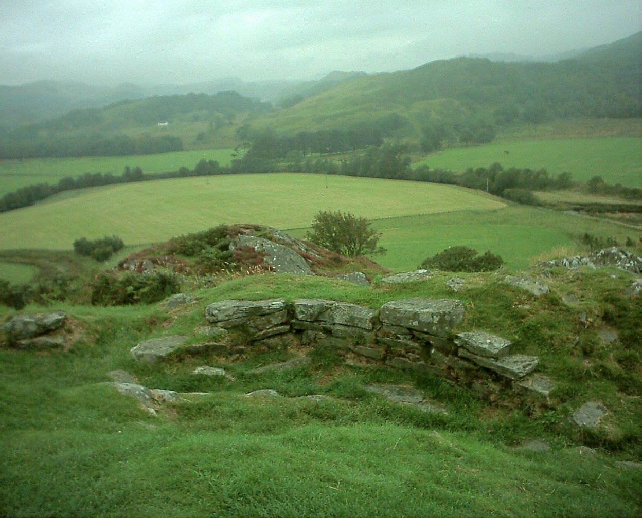
Moel Arthur ("Arthur's Hill") is an Iron Age hillfort in Flintshire, Wales, at the boundary with Denbighshire, about east of Denbigh. It is on a prominent hill, height , in the Clwydian Range; it overlooks the Vale of Clwyd to the west. Offa's Dyke Path skirts the hill. It is about south-east of the hillfort of Penycloddiau. Description The oval fort is about north–south and east–west, enclosing an area of . There are two large banks and ditches to the north, where the hill slope is not steep; above the steep south-west, south and east slopes there is a single bank. At the north-east, at the edge of the steeper slopes, there is a narrow inturned entrance with an oblique approach. The form of entrance, and the simple plan of the fort, suggest that it is an early example.Christopher Houlder. ''Wales: An Archaeological Guide''. Faber and Faber, 1978. Page 74. [...More Info...] [...Related Items...] OR: [Wikipedia] [Google] [Baidu] |
Denbigh
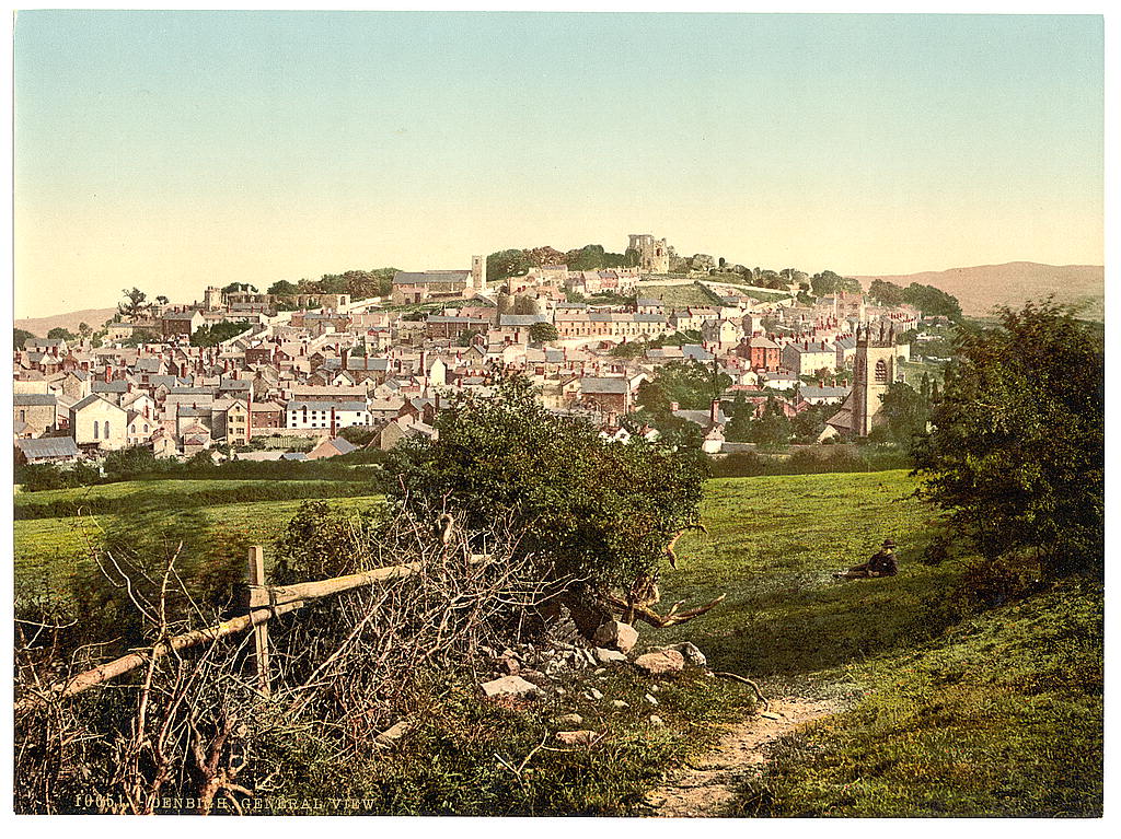
Denbigh (; cy, Dinbych; ) is a market town and a community in Denbighshire, Wales. Formerly, the county town, the Welsh name translates to "Little Fortress"; a reference to its historic castle. Denbigh lies near the Clwydian Hills. History Denbigh Castle, together with its town walls, was built in 1282 by order of King Edward I. The Burgess Gate, whose twin towers adorn the symbol on Denbigh's civic seal, was once the main entrance into the town. The first borough charter was granted to Denbigh in 1290, when the town was still contained within the old town walls. It was the centre of the Marcher Lordship of Denbigh. The town was involved in the revolt of Madog ap Llywelyn in 1294–1295; the castle was captured in the autumn, and on 11 November 1294 a relieving force was defeated by the Welsh rebels. The town was recaptured by Edward I in December. Denbigh was also burnt in 1400 during the revolt of Owain Glyndŵr. During the Wars of the Roses (1455-1487), the tow ... [...More Info...] [...Related Items...] OR: [Wikipedia] [Google] [Baidu] |
Penycloddiau
Penycloddiau is a hill in Flintshire, Wales, and one of five Marilyns in the Clwydian Range. The hill, like Foel Fenlli and Moel Arthur to the south, has an Iron Age hillfort at its summit. It covers making it one of the largest hillforts in Wales. In 2017, excavations by the Clywdian Range Archaeology Group (CRAG) unearthed a significant number of 4,000-year-old stone tools from the Bronze Age, the discovery indicates human activity occurred much earlier than first thought in the area. Penycloddiau is crossed by the Offa's Dyke Path and the Clwydian Way, two long distance footpaths that traverse the hills in this area. A free car park exists at the bwlch between Penycloddiau and Moel Arthur, where two footpaths lead to the summit. __NOTOC__ See also *List of hillforts in Wales This is a list of hillforts in Wales. Anglesey * Din Sylwy (Bwrdd Arthur) (), contour fort * Caer Idris Hillfort (), promontory fort *Caer y Twr (), partial contour fort * Dinas Gynfor (), pr ... [...More Info...] [...Related Items...] OR: [Wikipedia] [Google] [Baidu] |
Hillforts In Denbighshire
A hillfort is a type of earthwork used as a fortified refuge or defended settlement, located to exploit a rise in elevation for defensive advantage. They are typically European and of the Bronze Age or Iron Age. Some were used in the post-Roman period. The fortification usually follows the contours of a hill and consists of one or more lines of earthworks, with stockades or defensive walls, and external ditches. Hillforts developed in the Late Bronze and Early Iron Age, roughly the start of the first millennium BC, and were used in many Celtic areas of central and western Europe until the Roman conquest. Nomenclature The spellings "hill fort", "hill-fort" and "hillfort" are all used in the archaeological literature. The ''Monument Type Thesaurus'' published by the Forum on Information Standards in Heritage lists ''hillfort'' as the preferred term. They all refer to an elevated site with one or more ramparts made of earth, stone and/or wood, with an external ditch. Ma ... [...More Info...] [...Related Items...] OR: [Wikipedia] [Google] [Baidu] |
List Of Scheduled Monuments In Flintshire
The county of Flintshire is on the north-east coast of Wales, and two ancient border earthworks run through the length of the county. There are 131 scheduled monuments in the post-1996 county of Flintshire. (The historic county of Flintshire, with its unusual separate exclave, is now split between the unitary areas of Flintshire, Wrexham and Denbighshire, so would have had considerably more scheduled sites). There are a great many prehistoric sites for such a small county. With only one confirmed Neolithic site, it is the Bronze Age and Iron Age sites that dominate, 67 of them found mainly on the north-west of the county. In the main these are burial mounds with eight hillforts and other enclosures. From the early medieval period, Offa's Dyke has ten notable sections in the county, whilst the older Wat's Dyke has nineteen scheduled sections. From the post-Norman medieval period, Flintshire offers a very diverse range of monument types: twenty sites, with ten different site types, i ... [...More Info...] [...Related Items...] OR: [Wikipedia] [Google] [Baidu] |
Hillforts In Britain
Hillforts in Britain refers to the various hillforts within the island of Great Britain. Although the earliest such constructs fitting this description come from the Neolithic British Isles, with a few also dating to later Bronze Age Britain, British hillforts were primarily constructed during the British Iron Age. Some of these were apparently abandoned in the southern areas that were a part of Roman Britain, although at the same time, those areas of northern Britain that remained free from Roman occupation saw an increase in their construction. Some hillforts were reused in the Early Middle Ages, and in some rarer cases, into the Later Medieval period as well. By the early modern period, these had essentially all been abandoned, with many being excavated by archaeologists in the nineteenth century onward. There are around 3,300 structures that can be classed as hillforts or similar "defended enclosures" within Britain. Most of these are clustered in certain regions: south and sou ... [...More Info...] [...Related Items...] OR: [Wikipedia] [Google] [Baidu] |
Bronze Age Britain
Bronze Age Britain is an era of British history that spanned from until . Lasting for approximately 1,700 years, it was preceded by the era of Neolithic Britain and was in turn followed by the period of Iron Age Britain. Being categorised as the Bronze Age, it was marked by the use of copper and then bronze by the prehistoric Britons, who used such metals to fashion tools. Great Britain in the Bronze Age also saw the widespread adoption of agriculture. During the British Bronze Age, large megalithic monuments similar to those from the Late Neolithic continued to be constructed or modified, including such sites as Avebury, Stonehenge, Silbury Hill and Must Farm. That has been described as a time "when elaborate ceremonial practices emerged among some communities of subsistence agriculturalists of western Europe". History Early Bronze Age (EBA), c. 2500–1500 BC There is no clear consensus on the date for the beginning of the Bronze Age in Great Britain and Ireland. S ... [...More Info...] [...Related Items...] OR: [Wikipedia] [Google] [Baidu] |
Clwydian Range And Dee Valley AONB
, iucn_category =V , iucn_ref = , photo =Sunny Hillside, Frosty Valley Dee Valley Wales (11014647076).jpg , photo_width = , photo_alt =Image of the view of the Dee Valley from Moel Y Gamelin , photo_caption = Near the Dee Valley, on Moel y Gamelin , image_map = Clwydian Range and Dee Valley AONB map.svg , map_caption = Map of the AONB in Wales , map = , map_width = 200 , map_alt = , AlternativeMap = , relief = , label = , label_position = , mark = , marker_size = , location = Clwyd, Wales , nearest_city = , nearest_town =Ruthin, St Asaph, Prestatyn, Mold, Chirk , coordinates = , coords_ref = , length = , length_mi = , length_km = , width = , width_mi = , width_km = , area = , area_ha = , area_acre = , area_km2 =389.26 , area_sqmi = , area_ref ... [...More Info...] [...Related Items...] OR: [Wikipedia] [Google] [Baidu] |
Offa's Dyke Path
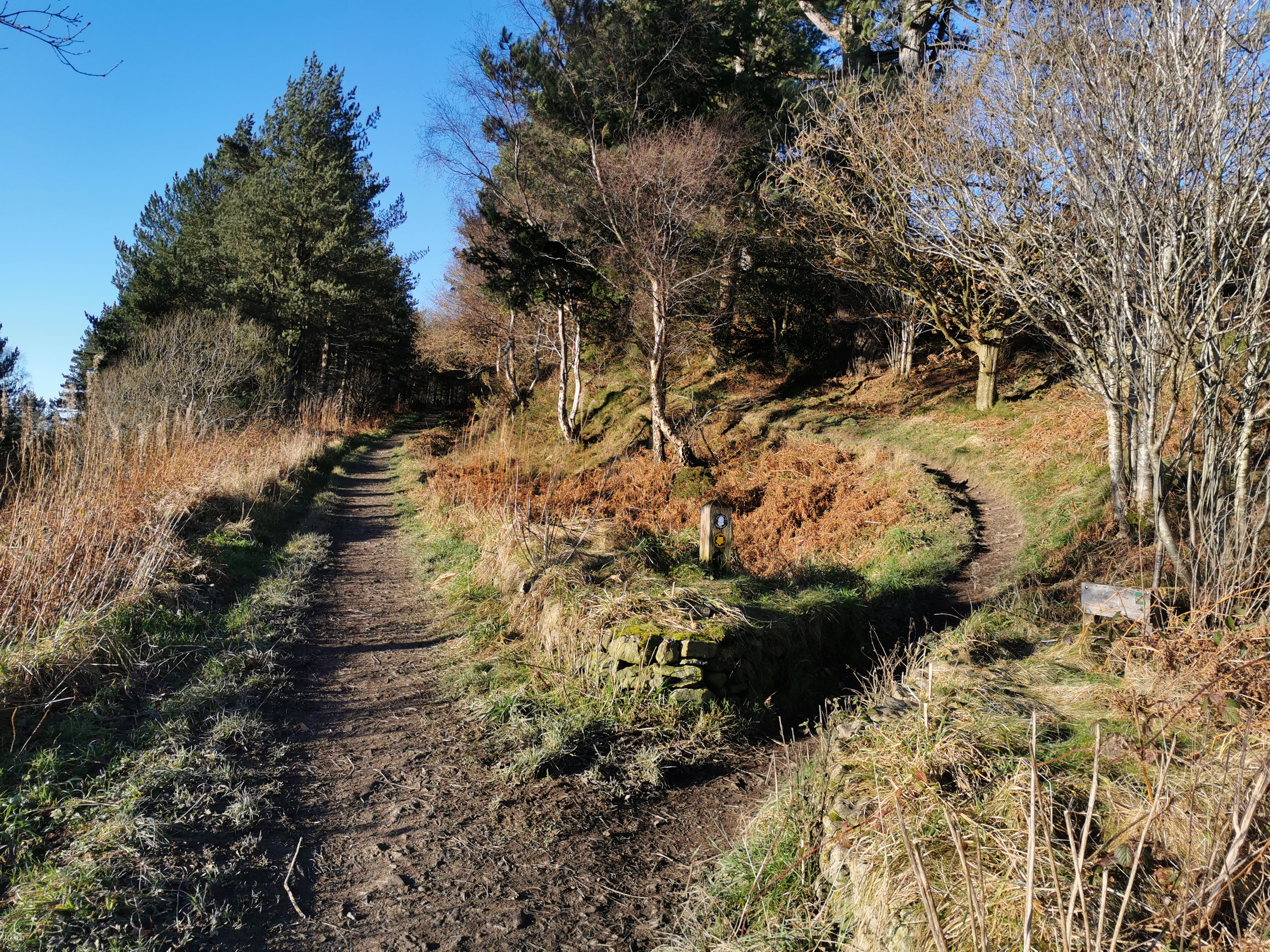
Offa's Dyke Path ( cy, Llwybr Clawdd Offa) is a long-distance footpath loosely following the Wales–England border. Officially opened on 10 July 1971, by Lord Hunt, it is one of Britain's National Trails and draws walkers from throughout the world. About of the route either follows, or keeps close company with, the remnants of Offa's Dyke, an earthwork traditionally thought to have been constructed in the late 8th century on the orders of King Offa of Mercia. Walking trail Traveling south to north, starting by the Severn Estuary at Sedbury, near Chepstow, and finishing at Prestatyn on the north coast, the walk will take an average walker roughly 12 days to complete. Roughly following the border in parts, and elsewhere the ancient monument of Offa's Dyke, as well as natural features such as the Hatterrall Ridge, the Dyke Path passes through a variety of landscapes. The route traces the eastern edge of the Black Mountains, traverses Clun Forest, the Eglwyseg moors ... [...More Info...] [...Related Items...] OR: [Wikipedia] [Google] [Baidu] |
Hillfort
A hillfort is a type of earthwork used as a fortified refuge or defended settlement, located to exploit a rise in elevation for defensive advantage. They are typically European and of the Bronze Age or Iron Age. Some were used in the post- Roman period. The fortification usually follows the contours of a hill and consists of one or more lines of earthworks, with stockades or defensive walls, and external ditches. Hillforts developed in the Late Bronze and Early Iron Age, roughly the start of the first millennium BC, and were used in many Celtic areas of central and western Europe until the Roman conquest. Nomenclature The spellings "hill fort", "hill-fort" and "hillfort" are all used in the archaeological literature. The ''Monument Type Thesaurus'' published by the Forum on Information Standards in Heritage lists ''hillfort'' as the preferred term. They all refer to an elevated site with one or more ramparts made of earth, stone and/or wood, with an external ditch ... [...More Info...] [...Related Items...] OR: [Wikipedia] [Google] [Baidu] |
Vale Of Clwyd
The Vale of Clwyd ( cy, Dyffryn Clwyd) is a tract of low-lying ground in the county of Denbighshire in north-east Wales. The Vale extends south-southwestwards from the coast of the Irish Sea for some 20 miles (about 30 km) forming a triangle of low ground bounded on its eastern side by the well-defined scarp of the Clwydian Range and to the west by numerous low hills. The River Clwyd (Welsh: ) which rises within Clocaenog Forest, southwest of Denbigh, runs the full length of the vale. It is joined by the two major left bank tributaries of the River Clywedog (Welsh: ) and River Elwy (Welsh: ) and the smaller right bank tributary of the River Wheeler (Welsh: ). History Dyffryn Clwyd was a cantref of Medieval Wales, and from 1282 was a marcher lordship. Settlement and administration At its seaward end are the coastal resorts of Kinmel Bay (Welsh: ), Rhyl and Prestatyn whilst the town of Abergele and city of St Asaph (Welsh: ) lie just inland. The other principal towns of the ... [...More Info...] [...Related Items...] OR: [Wikipedia] [Google] [Baidu] |
Clwydian Range
The Clwydian Range ( cy, Bryniau Clwyd; also known as the Clwydian Hills; or simply the Clwyds) is a series of hills in the north-east of Wales that runs from Llandegla in the south to Prestatyn in the north, the highest point being the popular Moel Famau. The range forms part of the Clwydian Range and Dee Valley Area of Outstanding Natural Beauty. Geology The Clwydian Hills are formed from an upstanding block of deep sea sediments formed during the Silurian period as debris slurries originating on the nearby continental shelf. The older mudstones and siltstones of the Nantglyn Flags Formation form parts of the west-facing scarp slope and the overlying Elwy Formation, which consists of mudstones and siltstones deposited in deep marine conditions with numerous sandstone beds, forms most of the higher ground. Both formations are of Ludlovian age. The range's rocks are intensely faulted; the major Vale of Clwyd Fault is responsible for the impressive west-facing scarp ... [...More Info...] [...Related Items...] OR: [Wikipedia] [Google] [Baidu] |


