|
Mirusha River
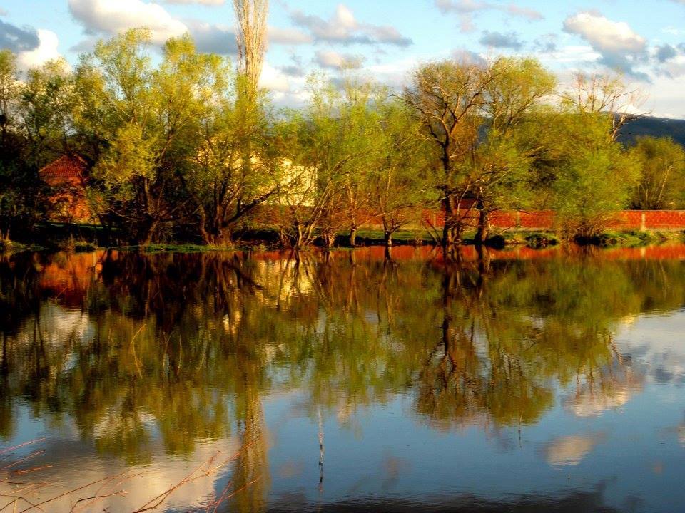
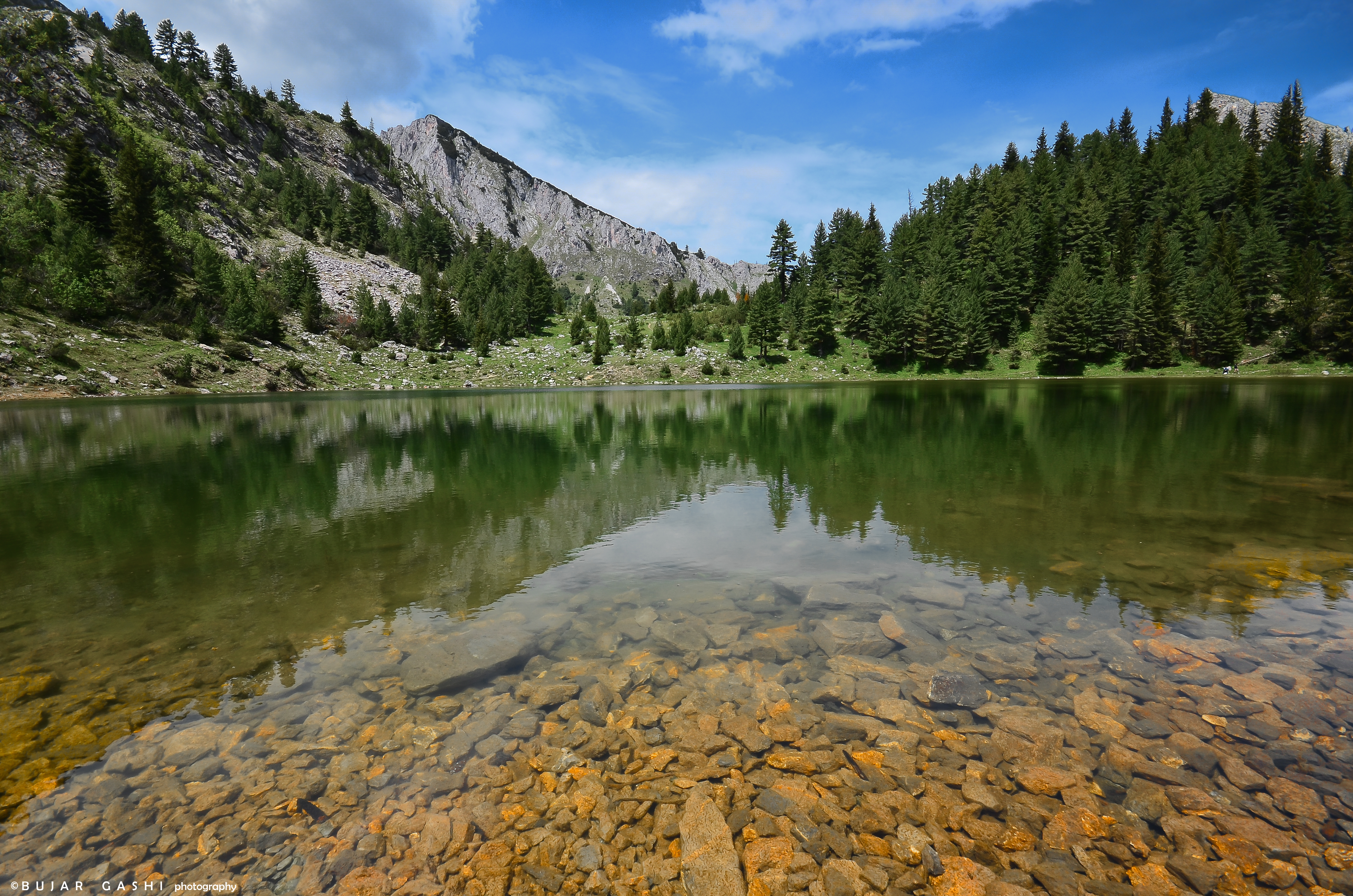
Mirusha River is a river in Kosovo. The basin of the river is located in central Kosovo, on the east side of the Dukagjini plain. Mirusha is a left tributary of the White Drin and it is long. Mirusha River is especially famous for the Mirusha waterfalls, which are a popular tourist destination in Kosovo. See also * Mirusha Park * Rivers of Kosovo * Geography of Kosovo Kosovo is a landlocked country in Southeastern Europe. The country is strategically positioned in the center of the Balkan Peninsula enclosed by Montenegro to the west, Serbia to the north and east, North Macedonia to the southeast, and Albania t ... References {{Rivers of Kosovo Rivers of Kosovo Tributaries of the White Drin ... [...More Info...] [...Related Items...] OR: [Wikipedia] [Google] [Baidu] |
Kosovo
Kosovo, officially the Republic of Kosovo, is a landlocked country in Southeast Europe with International recognition of Kosovo, partial diplomatic recognition. It is bordered by Albania to the southwest, Montenegro to the west, Serbia to the north and east, and North Macedonia to the southeast. It covers an area of and has a population of approximately 1.6 million. Kosovo has a varied terrain, with high plains along with rolling hills and List of mountains in Kosovo, mountains, some of which have an altitude over . Its climate is mainly Continental climate, continental with some Mediterranean climate, Mediterranean and Alpine climate, alpine influences. Kosovo's capital and List of cities and towns in Kosovo#List, most populous city is Pristina; other major cities and urban areas include Prizren, Ferizaj, Gjilan and Peja. Kosovo formed the core territory of the Dardani, an ancient Paleo-Balkanic languages, Paleo-Balkanic people attested in classical sources from the 4th cent ... [...More Info...] [...Related Items...] OR: [Wikipedia] [Google] [Baidu] |
White Drin
The White Drin or White Drim (; , ) is a river in Kosovo and northern Albania, a ca. long headstream of the Drin. Course Kosovo The Kosovo section of the White Drin flows entirely in the semi-karst part of Kosovo, in an arc-shaped -long course. The river originates in the southern slopes of the Zhleb mountain, north of the town of Peja. The river springs near the Bukuroshja e Fjetur Cave. The cave is multi-levelled, not much explored and has a lake inside. The water from the spring was used by the Peja brewery. The stream is originally a sinking river which eventually springs out from the strong well and falls down as a -high waterfall named the White Drin Waterfall near the village of Radac, away from Peja. In 1934, Russian émigré Dimitry Tyapkin projected and constructed a hydroelectric power plant next to the waterfalls which produced electricity for the town. The White Drin first flows to the east, next to the spa of Banja of Peja or Ilixhe, and the village ... [...More Info...] [...Related Items...] OR: [Wikipedia] [Google] [Baidu] |
Metohija
Metohija (), also known in Albanian as Dukagjini, (, ) is a large drainage basin, basin and the name of the region covering the southwestern part of Kosovo. The region covers 35% (3,891 km2) of Kosovo's total area. According to the 2024 census, the population of the region is 570,147. Names The name ''Metohija'' derives from the Greek language, Greek word (''metóchia''; singular , ''metochion, metóchion''), meaning "monastic estates" – a reference to the large number of villages and estates in the region that were owned by the Serbian Orthodox Church, Serbian Orthodox monasteries and Mount Athos during the Serbia in the Middle Ages, Middle Ages. In Albanian language, Albanian the area is called ''Rrafshi i Dukagjinit'' and means "the plateau of Dukagjin", as the toponym (in Albanian) took the name of the Dukagjini family who ruled a large part of Dukagjini during the 14th-15th centuries. According to Jahja Drançolli, a professor at the University of Pristina, ... [...More Info...] [...Related Items...] OR: [Wikipedia] [Google] [Baidu] |
Mirusha Park
Mirusha Park (; ) is a regional park located in the central part of Kosovo on the eastern side of the Metohija, Dukagjin Plain. The area has been put under protection in 1975 as a special nature reserve, with an area of by a decision of municipality of Rahovec and Klina. Due to its geoheritage values, specific landscapes, as well as high plant diversity, in 1982 it was declared a regional park in the fifth category (Protected Landscape) according to IUCN, with an area of , stretching on three municipalities: Klina, Malisheva and Rahovec. One year later in 1983 due hydrological, geomorphological and landscape values, the water flow of river Mirusha (river), Mirusha has also been put under protection in third category (Natural Monument) according to IUCN. Its area consist of and belongs to Rahovec and Klina municipalities. Features Mirusha Park is known for its canyon in which flows the Mirusha (river), Mirusha River that creates series of karst lakes and waterfalls arranged ... [...More Info...] [...Related Items...] OR: [Wikipedia] [Google] [Baidu] |
List Of Rivers Of Kosovo
This is a list of rivers in Kosovo in an alphabetical order. List References {{Authority control * Kosovo Rivers A river is a natural stream of fresh water that flows on land or inside caves towards another body of water at a lower elevation, such as an ocean, lake, or another river. A river may run dry before reaching the end of its course if it ru ... Landforms of Kosovo ... [...More Info...] [...Related Items...] OR: [Wikipedia] [Google] [Baidu] |
Geography Of Kosovo
Kosovo is a landlocked country in Southeastern Europe. The country is strategically positioned in the center of the Balkan Peninsula enclosed by Montenegro to the west, Serbia to the north and east, North Macedonia to the southeast, and Albania to the southwest. It has no direct access to the Mediterranean Sea but its rivers flow into three seas, the Adriatic, Aegean and Black Sea. The country possesses impressive and contrasting landscapes determined by the climate along with the geology and hydrology. Both, the Bjeshkët e Nemuna and Sharr Mountains, are the most defining feature of the country and simultaneously the most biodiverse regions of Kosovo. As far as the central region, the plains of Dukagjin and Kosovo stretches over the west and east, respectively. Additionally, Kosovo consists of multiple geographic and ethnographic regions, such as Drenica, Dushkaja, Gollak, Has, Highlands of Gjakova, Llap, Llapusha and Rugova. The country is a quite rich country for its ... [...More Info...] [...Related Items...] OR: [Wikipedia] [Google] [Baidu] |
Rivers Of Kosovo
This is a list of rivers in Kosovo in an alphabetical order. List References {{Authority control Rivers of Kosovo, * Lists of rivers by country, Kosovo Lists of landforms of Kosovo, Rivers Landforms of Kosovo ... [...More Info...] [...Related Items...] OR: [Wikipedia] [Google] [Baidu] |


