|
Minnie E. Young House
19 East 54th Street, originally the Minnie E. Young House, is a commercial building in the Midtown Manhattan neighborhood of New York City. It is along 54th Street's northern sidewalk between Madison Avenue and Fifth Avenue. The building was designed by Philip Hiss and H. Hobart Weekes of the firm Hiss and Weekes. It was constructed between 1899 and 1900 as a private residence for Minnie Edith Arents Young. The house was designed as a palazzo in the Italian Renaissance Revival style. The 54th Street facade was designed as a four-story structure with a rusticated first story and decorated windows on the upper stories. Because 19 East 54th Street was wider than other houses in the area, the architectural details were designed to be more imposing. The penthouse at the fifth and sixth stories is recessed from the street. The interior was ornately outfitted with a coffered ceiling, a stained-glass conservatory, and staircases with oak paneling. Young commissioned the house afte ... [...More Info...] [...Related Items...] OR: [Wikipedia] [Google] [Baidu] |
Manhattan
Manhattan (), known regionally as the City, is the most densely populated and geographically smallest of the five Boroughs of New York City, boroughs of New York City. The borough is also coextensive with New York County, one of the List of counties in New York, original counties of the U.S. state of New York (state), New York. Located near the southern tip of New York State, Manhattan is based in the Eastern Time Zone and constitutes both the geographical and demographic center of the Northeast megalopolis and the urban core of the New York metropolitan area, the largest metropolitan area in the world by urban area, urban landmass. Over 58 million people live within 250 miles of Manhattan, which serves as New York City’s economic and administrative center, cultural identifier, and the city’s historical birthplace. Manhattan has been described as the cultural, financial, Media in New York City, media, and show business, entertainment capital of the world, is considered a saf ... [...More Info...] [...Related Items...] OR: [Wikipedia] [Google] [Baidu] |
Land Lot
In real estate, a lot or plot is a tract or parcel of land owned or meant to be owned by some owner(s). A plot is essentially considered a parcel of real property in some countries or immovable property (meaning practically the same thing) in other countries. Possible owner(s) of a plot can be one or more person(s) or another legal entity, such as a company/ corporation, organization, government, or trust. A common form of ownership of a plot is called fee simple in some countries. A small area of land that is empty except for a paved surface or similar improvement, typically all used for the same purpose or in the same state is also often called a plot. Examples are a paved car park or a cultivated garden plot. This article covers plots (more commonly called lots in some countries) as defined parcels of land meant to be owned as units by an owner(s). Like most other types of property, lots or plots owned by private parties are subject to a periodic property tax payable ... [...More Info...] [...Related Items...] OR: [Wikipedia] [Google] [Baidu] |
William Earl Dodge Stokes
William Earle Dodge Stokes (May 22, 1852 – May 18, 1926) was an American multimillionaire responsible for developing much of New York's Upper West Side. Early life Stokes was born in New York City on May 22, 1852. He was the son of James Boulter and Caroline (née Phelps) Stokes; brother of Anson Phelps Stokes and Olivia Eggleston Phelps Stokes. One of his grandfathers was London merchant Thomas Stokes, one of the 13 founders of the London Missionary Society, and Anson Stokes later actively supported the American Bible Society, the American Tract Society and the American Peace Society. His other grandfather, Anson Greene Phelps, was a New York merchant, born in Connecticut and descended from an old Massachusetts family. Web page titled "Grandfather, Father, & Son / The Three Anson Phelps Stokes: Anglo-American Philanthropists" at the ''Chic ... [...More Info...] [...Related Items...] OR: [Wikipedia] [Google] [Baidu] |
American Civil War
The American Civil War (April 12, 1861 – May 26, 1865; also known by other names) was a civil war in the United States. It was fought between the Union ("the North") and the Confederacy ("the South"), the latter formed by states that had seceded. The central cause of the war was the dispute over whether slavery would be permitted to expand into the western territories, leading to more slave states, or be prevented from doing so, which was widely believed would place slavery on a course of ultimate extinction. Decades of political controversy over slavery were brought to a head by the victory in the 1860 U.S. presidential election of Abraham Lincoln, who opposed slavery's expansion into the west. An initial seven southern slave states responded to Lincoln's victory by seceding from the United States and, in 1861, forming the Confederacy. The Confederacy seized U.S. forts and other federal assets within their borders. Led by Confederate President Jefferson ... [...More Info...] [...Related Items...] OR: [Wikipedia] [Google] [Baidu] |
Grid Plan
In urban planning, the grid plan, grid street plan, or gridiron plan is a type of city plan in which streets run at right angles to each other, forming a grid. Two inherent characteristics of the grid plan, frequent intersections and orthogonal geometry, facilitate movement. The geometry helps with orientation and wayfinding and its frequent intersections with the choice and directness of route to desired destinations. In ancient Rome, the grid plan method of land measurement was called centuriation. The grid plan dates from antiquity and originated in multiple cultures; some of the earliest planned cities were built using grid plans in Indian subcontinent. History Ancient grid plans By 2600 BC, Mohenjo-daro and Harappa, major cities of the Indus Valley civilization, were built with blocks divided by a grid of straight streets, running north–south and east–west. Each block was subdivided by small lanes. The cities and monasteries of Sirkap, Taxila and Thimi (in ... [...More Info...] [...Related Items...] OR: [Wikipedia] [Google] [Baidu] |
Commissioners' Plan Of 1811
The Commissioners' Plan of 1811 was the original design for the streets of Manhattan above Houston Street and below 155th Street, which put in place the rectangular grid plan of streets and lots that has defined Manhattan on its march uptown until the current day. It has been called "the single most important document in New York City's development,"Augustyn & Cohen, pp.100–06 and the plan has been described as encompassing the "republican predilection for control and balance ... nddistrust of nature". It was described by the Commission that created it as combining "beauty, order and convenience." The plan originated when the Common Council of New York City, seeking to provide for the orderly development and sale of the land of Manhattan between 14th Street and Washington Heights, but unable to do so itself for reasons of local politics and objections from property owners, asked the New York State Legislature to step in. The legislature appointed a commission wit ... [...More Info...] [...Related Items...] OR: [Wikipedia] [Google] [Baidu] |
Central Park South
59th Street is a crosstown street in the New York City borough of Manhattan, running from York Avenue and Sutton Place on the East Side of Manhattan to the West Side Highway on the West Side. The three-block portion between Columbus Circle and Grand Army Plaza is known as Central Park South, since it forms the southern border of Central Park. The street is mostly continuous, except between Ninth Avenue/ Columbus Avenue and Columbus Circle, where the Time Warner Center is located. While Central Park South is a bidirectional street, most of 59th Street carries one-way traffic. 59th Street forms the border between Midtown Manhattan and Upper Manhattan. North of 59th Street, the neighborhoods of the Upper West Side and Upper East Side continue on either side of Central Park. On the West Side, Manhattan's numbered avenues are renamed north of 59th Street: Eighth Avenue (at Columbus Circle) becomes Central Park West; Ninth Avenue is renamed Columbus Avenue; Tenth Avenue is renamed ... [...More Info...] [...Related Items...] OR: [Wikipedia] [Google] [Baidu] |
42nd Street (Manhattan)
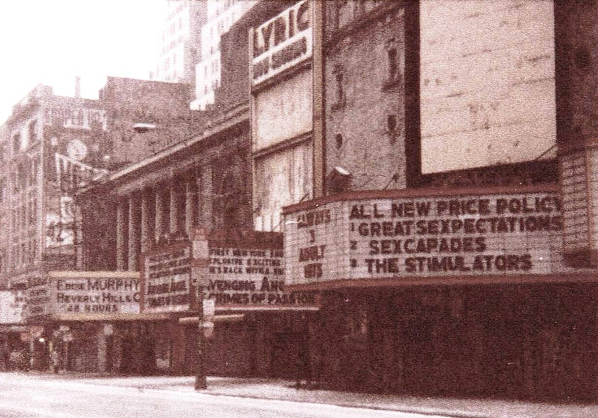
42nd Street is a major crosstown street in the New York City borough of Manhattan, spanning the entire breadth of Midtown Manhattan, from Turtle Bay at the East River, to Hell's Kitchen at the Hudson River on the West Side. The street hosts some of New York's best known landmarks, including (from east to west) the headquarters of the United Nations, the Chrysler Building, Grand Central Terminal, the New York Public Library Main Branch, Times Square, and the Port Authority Bus Terminal. The street is known for its theaters, especially near the intersection with Broadway at Times Square, and as such is also the name of the region of the theater district (and, at times, the red-light district) near that intersection. History Early history During the American Revolutionary War, a cornfield near 42nd Street and Fifth Avenue was where General George Washington angrily attempted to rally his troops after the British landing at Kip's Bay, which scattered man ... [...More Info...] [...Related Items...] OR: [Wikipedia] [Google] [Baidu] |
New York City Department Of City Planning
The Department of City Planning (DCP) is the department of the government of New York City responsible for setting the framework of city's physical and socioeconomic planning. The department is responsible for land use and environmental review, preparing plans and policies, and providing information to and advising the Mayor of New York City, Borough presidents, the New York City Council, Community Boards and other local government bodies on issues relating to the macro-scale development of the city. The department is responsible for changes in New York City's city map, purchase and sale of city-owned real estate and office space and of the designation of landmark and historic district status. Its regulations are compiled in title 62 of the '' New York City Rules''. The most recent Director of City Planning Marisa Lago resigned in December, 2021 following her confirmation as Under Secretary for International Trade at the United States Department of Commerce. __toc__ City Planni ... [...More Info...] [...Related Items...] OR: [Wikipedia] [Google] [Baidu] |
Paley Park
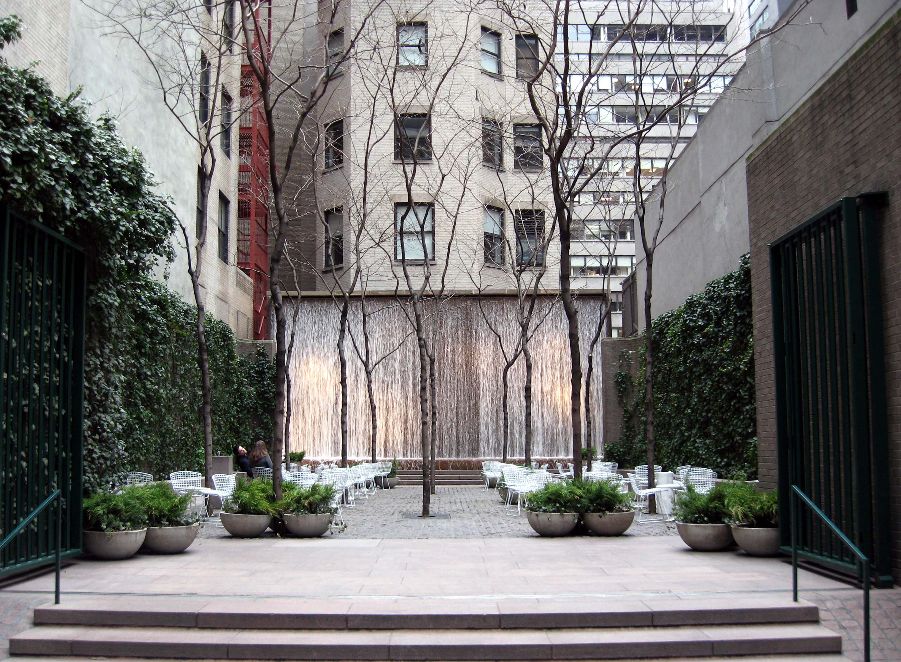
Paley Park is a pocket park located at 3 East 53rd Street between Madison and Fifth Avenues in Midtown Manhattan, New York City, on the former site of the Stork Club. Designed by the landscape architectural firm of Zion Breen Richardson Associates, it opened May 23, 1967.Great Public Spaces: Paley Park , . Accessed October 8, 2007. Paley Park is often cited as one of the finest urban spaces in the United States. Description Measuring , the park contains airy trees, lightweight furniture and simple spatial organization. A high waterfall, with a capacity of per minute, spans the e ...[...More Info...] [...Related Items...] OR: [Wikipedia] [Google] [Baidu] |
DuMont Building
The DuMont Building (also known as 515 Madison Avenue) is a 532-foot (162 m) high, 42-story building located at 53rd Street and Madison Avenue in Manhattan.Du Mont Building . Accessed September 27, 2008. The building was built in art deco
Art Deco, short for the French ''Arts Décoratifs'', and sometimes just called Deco, is a style of visual arts, architecture, and product design, that first appeared in France in the 1910s (just before World War I), and flourished in the Unit ... and neo-gothic ...
[...More Info...] [...Related Items...] OR: [Wikipedia] [Google] [Baidu] |
550 Madison Avenue
550 Madison Avenue (formerly known as the Sony Tower, Sony Plaza, and AT&T Building) is a postmodern skyscraper at Madison Avenue between 55th and 56th Streets in the Midtown Manhattan neighborhood of New York City. Designed by Philip Johnson and John Burgee with associate architect Simmons Architects, the building was completed in 1984 as the headquarters of AT&T and later became the American headquarters of Sony. The building consists of a , 37-story office tower with a facade made of pink granite. It originally had a four-story granite annex to the west, which was demolished and replaced with a shorter annex in the early 2020s. At the base of the building is a large entrance arch facing east toward Madison Avenue, flanked by arcades with smaller flat arches. A pedestrian atrium, connecting 55th and 56th Streets midblock, was also included in the design, which enabled the building to rise higher without the use of setbacks. The ground-level lobby is surrounded by retail sh ... [...More Info...] [...Related Items...] OR: [Wikipedia] [Google] [Baidu] |


