|
Meshchyora National Park
Meshchyora National Park (russian: Мещёра (национальный парк)) covers extensive wetlands (swamps, peat bogs, rivers and lakes) and pine/birch woodlands in the Meshchera Lowlands on the East European Plain in Vladimir Oblast, about 120 km east of Moscow. The wetland habitat provides for extremely rich biodiversity among the plants and animals. The area is associated with the medieval Meshchera tribe, from which the area takes its name. "Meshchyora" National Park (Мещёра) is not to be confused with "Meshchersky" (Мещёрский) National Park, which is just to the south, over the border in Ryazan Oblast. The Meshchyora NP is located entirely within the Oka River watershed. A small corner of the park touches on the border of the Moscow region. About 39% of the park territory is used and managed for agricultural purposes by local communities. Topography Meshchyora is located in a flat, ancient alluvial valley formed during the Quaternary Peri ... [...More Info...] [...Related Items...] OR: [Wikipedia] [Google] [Baidu] |
Vladimir Oblast
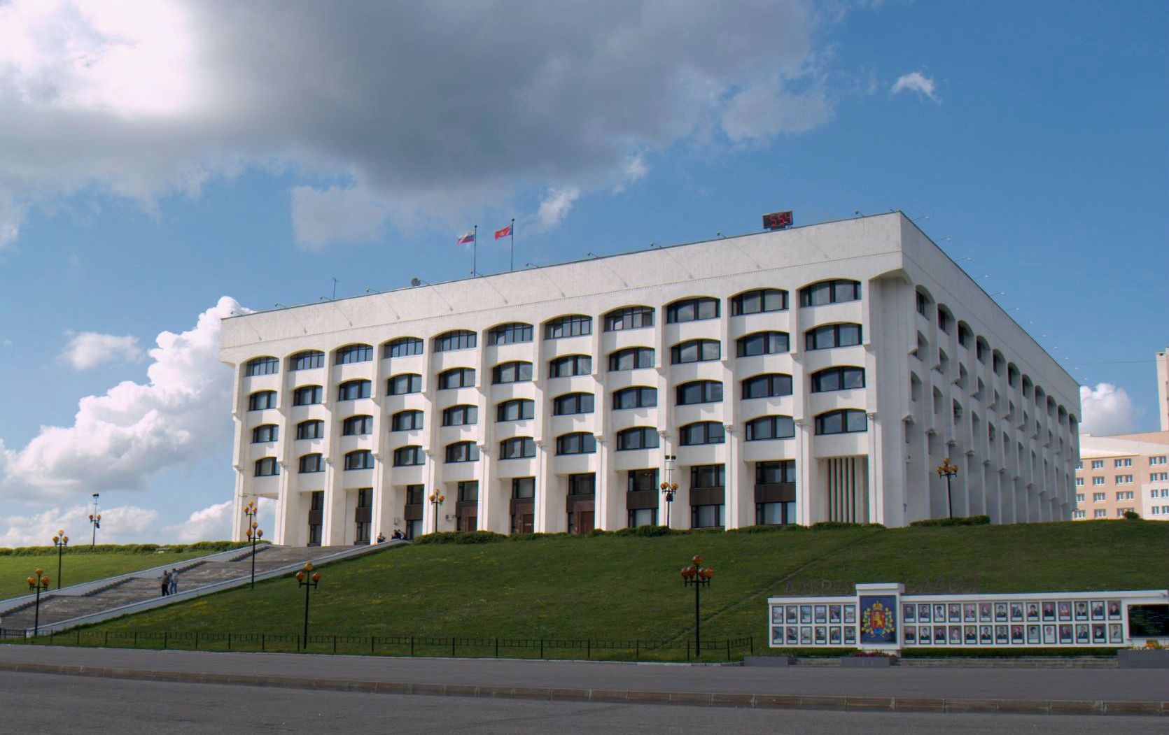
Vladimir Oblast (russian: Влади́мирская о́бласть, ''Vladimirskaya oblast'') is a federal subject of Russia (an oblast). Its closest border 66 km east of central Moscow, the administrative center is the city of Vladimir, which is located east of Moscow. As of the 2010 Census, the oblast's population was 1,443,693. The UNESCO World Heritage List includes the 12th-century cathedrals of Vladimir, Suzdal, Bogolyubovo, and Kideksha. Geography Vladimir Oblast borders Moscow, Yaroslavl, Ivanovo, Ryazan, and Nizhny Novgorod Oblasts. The oblast is situated in the center of the East European Plain. The Klyazma and the Oka are the most important rivers. There are approximately three hundred lakes. The oblast is situated in a zone of mixed forests. Fauna The oblast's fauna currently includes more than fifty species of mammals (some examples including elk, wild boar, roe deer, red and sika deer, lynx, wolf, squirrel, rabbit, marten, fox, weasel, ... [...More Info...] [...Related Items...] OR: [Wikipedia] [Google] [Baidu] |
Humid Continental Climate
A humid continental climate is a climatic region defined by Russo-German climatologist Wladimir Köppen in 1900, typified by four distinct seasons and large seasonal temperature differences, with warm to hot (and often humid) summers and freezing cold (sometimes severely cold in the northern areas) winters. Precipitation is usually distributed throughout the year but often do have dry seasons. The definition of this climate regarding temperature is as follows: the mean temperature of the coldest month must be below or depending on the isotherm, and there must be at least four months whose mean temperatures are at or above . In addition, the location in question must not be semi-arid or arid. The cooler ''Dfb'', ''Dwb'', and ''Dsb'' subtypes are also known as hemiboreal climates. Humid continental climates are generally found between latitudes 30° N and 60° N, within the central and northeastern portions of North America, Europe, and Asia. They are rare and i ... [...More Info...] [...Related Items...] OR: [Wikipedia] [Google] [Baidu] |
National Parks Of Russia
There are currently 64 national parks in Russia. Together they cover approximately . Overview Until the 1960s only nature reserves and '' zakazniks'' existed in the Soviet Union, so international experience in creating a form of protected areas intended for tourists to relax and teach them to take care of nature was very important. In 1961, Soviet geographers, headed by Innokenti Gerasimov, director of the Institute of Geography, USSR Academy of Sciences, visited the United States. This trip was an introduction to the USA experience in environmental protection and Soviet scientists visited the Yellowstone National Park and the Great Smoky Mountains National Park. After the trip, Innokenti Gerasimov returned to the idea of creating nature parks in the USSR, in 1965 he proposed the creation of a Baikal nature park. A similar natural park was also designed in the Lake Seliger area on the Valdai Hills. In 1966, the newspaper Komsomolskaya Pravda published an article by Innokenti Gera ... [...More Info...] [...Related Items...] OR: [Wikipedia] [Google] [Baidu] |
2010 Russian Wildfires
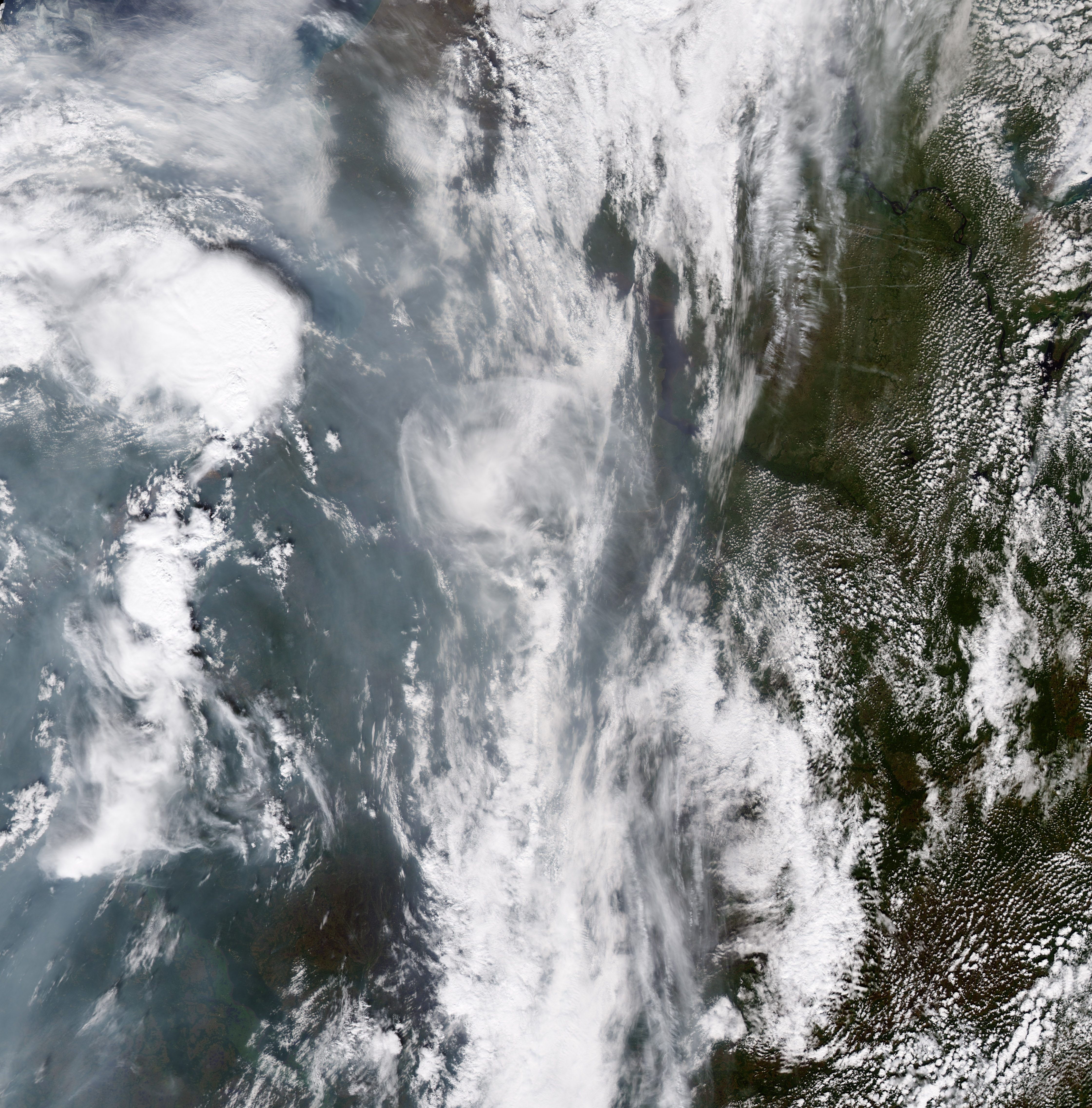
The 2010 Russian wildfires were several hundred wildfires that broke out across Russia, primarily in the west in summer 2010. They started burning in late July and lasted until early September 2010. The fires were associated with record-high temperatures, which were attributed to climate change—the summer had been the hottest recorded in Russian history—and drought. Russian President Dmitry Medvedev declared a state of emergency in seven regions, and 28 other regions were under a state of emergency due to crop failures caused by the drought. The fires cost roughly $15 billion in damages. A combination of the smoke from the fires, producing heavy smog blanketing large urban regions and the record-breaking heat wave put stress on the Russian healthcare system. Munich Re estimated that in all, 56,000 people died from the effects of the smog and the heat wave. The 2010 wildfires were the worst on record to that time. Prelude During 2010 Russia experienced dry, hot weath ... [...More Info...] [...Related Items...] OR: [Wikipedia] [Google] [Baidu] |
Protected Areas Of Russia
Protected areas of Russia, (official Russian title: russian: Особо охраняемые природные территории, literally "Specially Protected Natural Areas"), is governed by the corresponding 1995 law of the Russian Federation. Categories The law establishes the following categories of protected areas: # State nature zapovedniks, including Biosphere reserves (''biosphere zapovedniks'') # National Parks # Nature parks # State nature zakazniks # Natural Monuments # Dendrological parks and botanical gardens # Health recuperation areas and health resorts Other areas Other areas that are protected in Russia include: * UNESCO World Heritage Sites. * city and regional parks. * Ramsar sites — ''wetlands of international significance''. * Russian Cultural heritage monuments. * Historic buildings and gardens — ''e.g.: Imperial Russian palaces and their landscape parks''. Total Land Area On May 21, 2019, the '' Moscow Times'' cited a World Wildlife Fund report ... [...More Info...] [...Related Items...] OR: [Wikipedia] [Google] [Baidu] |
Map Of Meshchyora National Park - Ru
A map is a symbolic depiction emphasizing relationships between elements of some space, such as objects, regions, or themes. Many maps are static, fixed to paper or some other durable medium, while others are dynamic or interactive. Although most commonly used to depict geography, maps may represent any space, real or fictional, without regard to context or scale, such as in brain mapping, DNA mapping, or computer network topology mapping. The space being mapped may be two dimensional, such as the surface of the earth, three dimensional, such as the interior of the earth, or even more abstract spaces of any dimension, such as arise in modeling phenomena having many independent variables. Although the earliest maps known are of the heavens, geographic maps of territory have a very long tradition and exist from ancient times. The word "map" comes from the , wherein ''mappa'' meant 'napkin' or 'cloth' and ''mundi'' 'the world'. Thus, "map" became a shortened term referring to a ... [...More Info...] [...Related Items...] OR: [Wikipedia] [Google] [Baidu] |
Volga-Finns
The Volga Finns (sometimes referred to as Eastern Finns) are a historical group of indigenous peoples of Russia living in the vicinity of the Volga, who speak Uralic languages. Their modern representatives are the Mari people, the Erzya and the Moksha Mordvins, as well as speakers of the extinct Merya, Muromian and Meshchera languages. The Permians are sometimes also grouped as Volga Finns. The modern representatives of Volga Finns live in the basins of the Sura and Moksha rivers, as well as (in smaller numbers) in the interfluve between the Volga and the Belaya rivers. The Mari language has two dialects, the Meadow Mari and the Hill Mari. Traditionally the Mari and the Mordvinic languages ( Erzya and Moksha) were considered to form a ''Volga-Finnic'' or ''Volgaic'' group within the Uralic language family, accepted by linguists like Robert Austerlitz (1968), Aurélien Sauvageot & Karl Heinrich Menges (1973) and Harald Haarmann (1974), but rejected by others like Björn C ... [...More Info...] [...Related Items...] OR: [Wikipedia] [Google] [Baidu] |
Crucian Carp
The crucian carp (''Carassius carassius'') is a medium-sized member of the common carp family Cyprinidae. It occurs widely in northern European regions. Its name derives from the Low German ''karusse'' or ''karutze'', possibly from Medieval Latin ''coracinus'' (a kind of river fish). Distribution The crucian carp is a widely distributed European species, its range spanning from England to Russia; it is found as far north as the Arctic Circle in the Scandinavian countries, and as far south as central France and the region of the Black Sea. Its habitat includes lakes, ponds, and slow-moving rivers. It has been established that the fish is native to England and not introduced. The crucian carp is a medium-sized cyprinid, typically in body length, and rarely exceeds in weight over , but a maximum total length of has been reported for a male,Koli, L. 1990 Suomen kalat. ishes of Finland Werner Söderström Osakeyhtiö. Helsinki. 357 p. (in Finnish). Fishbase Ref. 6114 and the heav ... [...More Info...] [...Related Items...] OR: [Wikipedia] [Google] [Baidu] |
Perch
Perch is a common name for fish of the genus ''Perca'', freshwater gamefish belonging to the family Percidae. The perch, of which three species occur in different geographical areas, lend their name to a large order of vertebrates: the Perciformes, from the el, πέρκη (), simply meaning perch, and the Latin ''forma'' meaning shape. Many species of freshwater gamefish more or less resemble perch, but belong to different genera. In fact, the exclusively saltwater-dwelling red drum is often referred to as a red perch, though by definition perch are freshwater fish. Though many fish are referred to as perch as a common name, to be considered a true perch, the fish must be of the family Percidae. The type species for this genus is the European perch, ''P. fluviatilis''. Species Most authorities recognize three species within the perch genus: * The European perch (''P. fluviatilis'') is primarily found in Europe, but a few can also be found in South Africa, and even as ... [...More Info...] [...Related Items...] OR: [Wikipedia] [Google] [Baidu] |
Northern Pike
The northern pike (''Esox lucius'') is a species of carnivorous fish of the genus ''Esox'' (the pikes). They are typical of brackish water, brackish and fresh waters of the Northern Hemisphere (''i.e.'' holarctic in distribution). They are known simply as a pike in Great Britain, Britain, Ireland, and most of Eastern Europe, Canada and the United States. Pike can grow to a relatively large size: the average length is about , with maximum recorded lengths of up to and published weights of . The International Game Fish Association, IGFA currently recognizes a pike caught by Lothar Louis on Greffern Lake, Germany, on 16 October 1986, as the all-tackle world-record northern pike. Northern pike grow to larger sizes in Eurasia than in North America, and typically grow to larger sizes in coastal than inland regions of Eurasia. Etymology The northern pike gets its common name from its resemblance to the pole-weapon known as the Pike (weapon), pike (from the Middle English for 'point ... [...More Info...] [...Related Items...] OR: [Wikipedia] [Google] [Baidu] |
Köppen Climate Classification
The Köppen climate classification is one of the most widely used climate classification systems. It was first published by German-Russian climatologist Wladimir Köppen (1846–1940) in 1884, with several later modifications by Köppen, notably in 1918 and 1936. Later, the climatologist Rudolf Geiger (1894–1981) introduced some changes to the classification system, which is thus sometimes called the Köppen–Geiger climate classification system. The Köppen climate classification divides climates into five main climate groups, with each group being divided based on seasonal precipitation and temperature patterns. The five main groups are ''A'' (tropical), ''B'' (arid), ''C'' (temperate), ''D'' (continental), and ''E'' (polar). Each group and subgroup is represented by a letter. All climates are assigned a main group (the first letter). All climates except for those in the ''E'' group are assigned a seasonal precipitation subgroup (the second letter). For example, ''Af'' i ... [...More Info...] [...Related Items...] OR: [Wikipedia] [Google] [Baidu] |


