|
Mendon-Honeoye Falls-Lima Sentinel
The ''Mendon-Honeoye Falls-Lima Sentinel'' (The ''Sentinel'') is a weekly newspaper serving the greater southern Monroe County, New York area. Its offices are located at 3909 Rush Mendon Road in Mendon, New York, The ''Sentinel'' is published by Sentinel Publications, a division of Pandamensional Solutions Inc. The first issue of the ''Mendon-Honeoye Falls-Lima Sentinel'' was published on March 23, 1989 and has been published weekly on Thursdays since. The ''Sentinel'' is a member of the New York Press Association. History Founded in March 1989 as the ''Mendon-Honeoye Falls-Lima Sentinel'' by Shirley Arena and Christopher Carosa, the paper took the place of the ''Honeoye Falls Times'' and ''Lima Recorder'' both of which ceased publication on January 12, 1989 and were merged with the ''Honeoye Lake Courier'' and ''Livonia Gazette'' to form the ''Town & Country Gazette''. The ''Honeoye Falls Times'' had served the Mendon, New York, Mendon-Honeoye Falls, New York, Honeoye Falls area ... [...More Info...] [...Related Items...] OR: [Wikipedia] [Google] [Baidu] |
Avon, New York
Avon () is a town in Livingston County, New York, United States. It is south of Rochester. The town population was 7,146 at the 2010 census. The town was named after the River Avon in England. The village of Avon is in the northwest part of the town. History The area around and including what would become Avon village was inhabited for millennia by Paleo-Indians and later by the Seneca people, the western-most tribe of the Iroquois Confederacy. After the Iroquois title to the land was extinguished in 1788 with the Phelps and Gorham Purchase, white and Black settlement of the area began. In 1789, Dr. Timothy Hosmer, Maj. Isaiah Thompson, William Wadsworth, and others from Hartford, Connecticut, purchased a tract east of the Genesee River and named it "Hartford" after their homeland. The town was organized in 1797. The town's name was changed to "Avon" in 1808 to avoid confusion with another Hartford in Washington County, New York. In 1818, part of the town was removed to fo ... [...More Info...] [...Related Items...] OR: [Wikipedia] [Google] [Baidu] |
Lima (village), New York
Lima is a village in the town of Lima, Livingston County, New York, United States. The population of Lima village was 2,139 at the 2010 census, out of 4,305 in the entire town. History The village was founded in 1788 by Paul Davison and Jonathan Gould, veterans of the Sullivan Campaign, who had seen the area during the American Revolution. The village of Lima was organized in 1797 as the "Village of Charleston", but in 1808 the name was changed to "Lima", after Old Lyme, Connecticut. (For that reason, the name of the village is currently pronounced like the name of the bean, not like the name of the city in Peru). The Genesee Wesleyan Seminary (1830) / Genesee College (1849) was one of the first co-educational schools in the country when it opened in 1822. Eventually, determined by a Methodist-Episcopal convention in 1870, the college was shut in favor of the newly developed Syracuse University (1871), over the protests of the residents of Lima. Notable people * Belva Ann L ... [...More Info...] [...Related Items...] OR: [Wikipedia] [Google] [Baidu] |
West Bloomfield, New York
West Bloomfield is a town in Ontario County, New York, United States. The population was 2,760 at the 2020 census. The Town of West Bloomfield is on the county's western border and sits parallel to the Town of East Bloomfield, both of which lie south of the City of Rochester. History The town is within the historic homeland of the Seneca Nation, and tradition holds that three of the tribe's villages were located in the town. As such, during the spring season when much of the towns farmland is being plowed, it is not uncommon to find arrowheads and other artifacts.The first Europeans to visit the area were members of the Jesuits in the 17th Century during their westward quests. Settlement began around 1789 and the Town of West Bloomfield was officially established in 1833 from part of the Town of Bloomfield. The West Bloomfield Congregational Church was founded in 1799. The Congregation would meet on top of a hill that would later (in 1806, current building erected in 1875) ... [...More Info...] [...Related Items...] OR: [Wikipedia] [Google] [Baidu] |
Wheatland, New York
Wheatland is a town in Monroe County, New York, United States. The population was 4,775 at the 2010 census. The town is home to Genesee Country Village and Museum. Geography and geology The town of Wheatland is located in the southwest part of Monroe County, New York. According to the United States Census Bureau, the town has a total area of , of which is land and (0.26%) is water. The terrain includes low rolling hills, with flats along the Genesee River. Terranean water supply is of excellent capacity, although of varying quality. The agricultural lands are fertile and productive. The town is bordered on the north by the towns of Riga and Chili, on the east by the Genesee River and the towns of Henrietta and Rush, and on the south and west by Livingston County. Oatka Creek, the only significant waterway in Wheatland and a major component of the town's history, is a tributary of the Genesee River. The New York State Thruway crosses through Chili, north of the town. ... [...More Info...] [...Related Items...] OR: [Wikipedia] [Google] [Baidu] |
Victor, New York
Victor is an incorporated town in Ontario County, New York. The population was 15,969 at the time of the 2020 census. The town is named after Claudius Victor Boughton, an American hero of the War of 1812. The Town of Victor contains a village, also called Victor. The town is in the northwest corner of Ontario County and is southeast of Rochester. Victor is part of the Greater Rochester area; Victor's strategic location led to extensive suburban growth in the late 20th and early 21st century. Victor is the largest of Rochester's suburbs to be located outside of Monroe County, the home of more than two-thirds of the Greater Rochester population. The Village of Victor is from the head of Canandaigua Lake, the fourth largest of the Finger Lakes. History An important Seneca village, known as ''Gannagaro'' or ''Ganondagan'', was located within the area of this town. The tribe abandoned the village and the area about it after being severely attacked in 1687 by French invaders fr ... [...More Info...] [...Related Items...] OR: [Wikipedia] [Google] [Baidu] |
Scottsville, New York
Scottsville is a village in southwestern Monroe County, New York, United States, and is in the northeastern part of the Town of Wheatland. The population was 2,001 at the 2010 census. The village is named after an early settler, Isaac Scott. Most Scottsvillians work in and around the city of Rochester—the village of Scottsville is located about a ten-minute drive from the outer limits of the city. History Isaac Scott, one of the first settlers, arrived in 1790 and purchased of land from owners who lived in London and Great Britain. This land covered much of what is now the village of Scottsville. Scott's log house was at the southwest corner of Main and Rochester Streets in the village. The following sites are on the National Register of Historic Places: Isaac Cox Cobblestone Farmstead, Cox–Budlong House, Grace Church, David McVean House, Simeon Sage House, William Shirts House, Union Presbyterian Church, and Windom Hall. The Rochester Street Historic District is a na ... [...More Info...] [...Related Items...] OR: [Wikipedia] [Google] [Baidu] |
Rush, New York
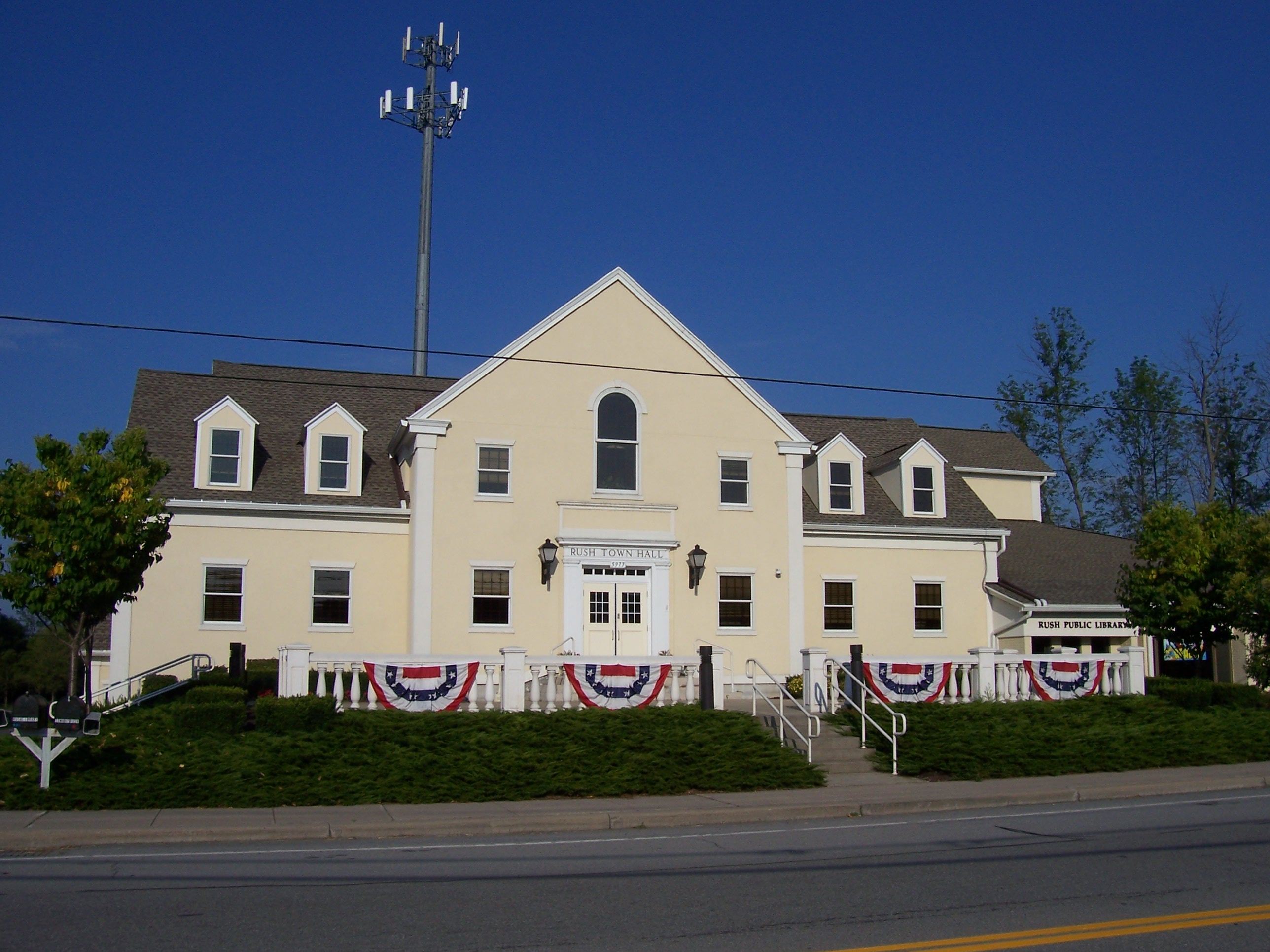
Rush is a town in Monroe County, New York, United States. The population was 3,478 at the 2010 census. The Town of Rush is a suburb of Rochester located in the southern part of the county. History The Town of Rush was established in 1818 from the town of Avon in what was then Genesee County. It was either named after the rushes growing along the creek, or after Dr. Benjamin Rush, a Founding Father of the United States. Geography The south and west town lines are the border of Livingston County. The north borders the town of Henrietta. The west borders the town of Wheatland, and the east borders the town of Mendon. Interstate 390 passes through the town. Honeoye Creek passes through the center of town and has been prone to flooding in recent years. The Lehigh Valley trail follows the creek along the former Lehigh Valley railroad line and extends to the Genesee River. According to the United States Census Bureau, the town has a total area of , of which, of it is land and ... [...More Info...] [...Related Items...] OR: [Wikipedia] [Google] [Baidu] |
Pittsford, New York
Pittsford is a town in Monroe County, New York. A suburb of Rochester, its population was 30,617 at the time of the 2020 census. The Town of Pittsford (formerly part of the town of Northfield) was settled in 1789 and incorporated in 1796. The Village of Pittsford was incorporated in 1827. It was named by Colonel Caleb Hopkins, War of 1812 hero and subsequently Pittsford Town Supervisor, for the town of his birth, Pittsford, Vermont. The Erie Canal passes through the town. Geography According to the United States Census Bureau, the town has a total area of 23.4 square miles (60.6 km2), of which 23.2 square miles (60.1 km2) is land and 0.2 square mile (0.5 km2) (0.81%) is water. The Town of Pittsford is located in the southeastern portion of Monroe County approximately eight miles from the city of Rochester, New York. The Town of Mendon lies to the south, the Town of Perinton to the east, the Towns of Henrietta and Brighton to the west, and ... [...More Info...] [...Related Items...] OR: [Wikipedia] [Google] [Baidu] |
Henrietta, New York
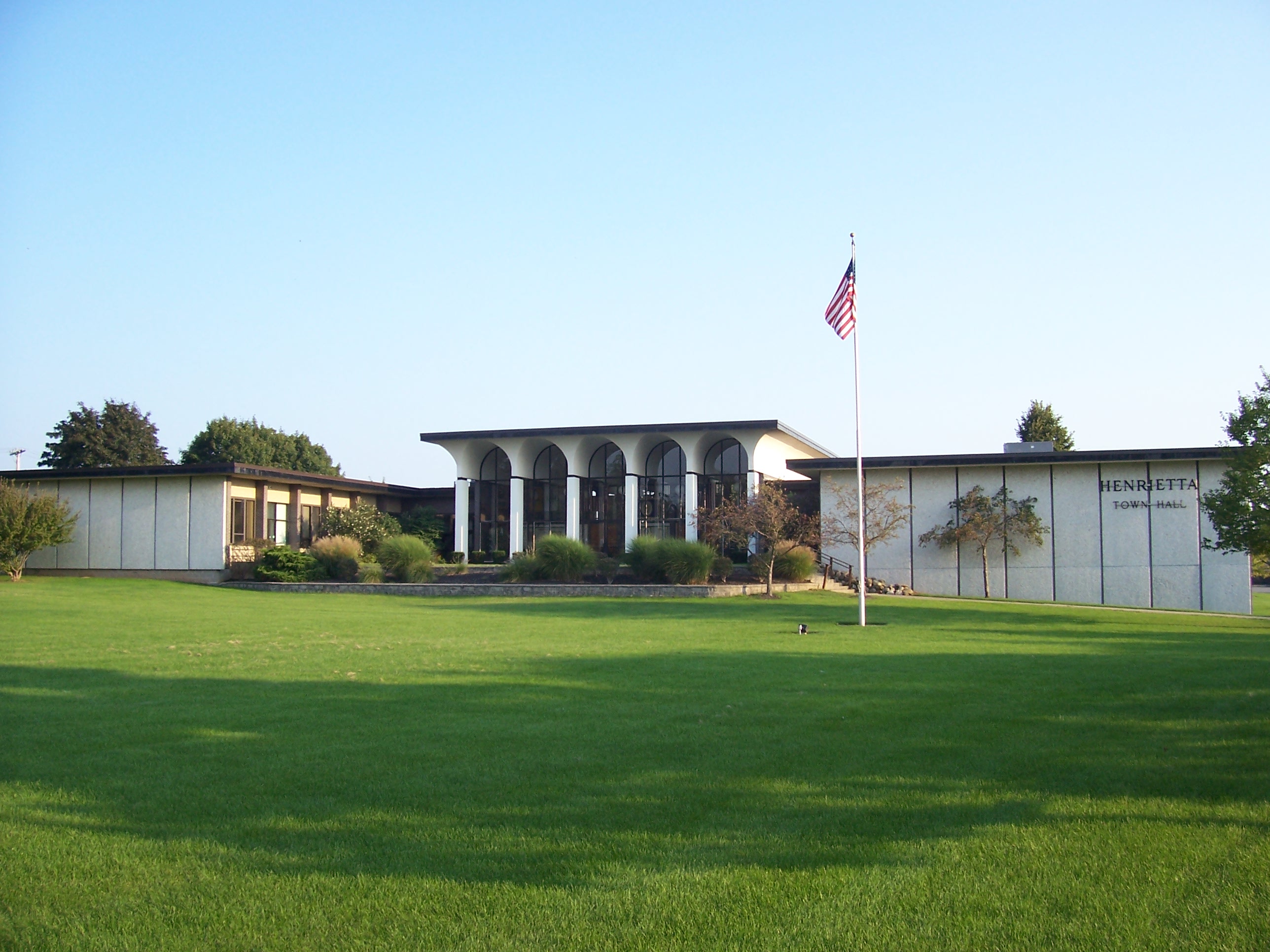
Henrietta is a town in Monroe County, New York, United States and a suburb of Rochester. The population of Henrietta is 47,096, according to the 2020 United States Census. Henrietta is home to the Rochester Institute of Technology and to one of the largest retail shopping districts in Monroe County. History The first residents of the Henrietta area were Native Americans. Although no evidence of Native American villages has been found in Henrietta, numerous artifacts and skeletons have been unearthed by farmers and archeologists over the past 200 years. With the end of the American Revolution, several resident Native American tribes that had sided with the British were forced to leave Upstate New York. As a result, land became available for European settlers in the Finger Lakes and Genesee Valley regions. The town of Henrietta was named after Henrietta Laura Pulteney, Countess of Bath in Great Britain. Her father Sir William Pulteney, 5th Baronet, was a major British inve ... [...More Info...] [...Related Items...] OR: [Wikipedia] [Google] [Baidu] |
Bloomfield, New York
Bloomfield is a village in Ontario County, New York, United States. The population was 1,361 at the 2010 census. The Village of Bloomfield is in the Town of East Bloomfield and is west of Canandaigua. History The village was part of the Phelps and Gorham Purchase (1788). It was incorporated in 1990 to combine the two adjacent communities of Holcomb and East Bloomfield. The St. Bridget's Roman Catholic Church Complex and St. Peter's Episcopal Church are listed on the National Register of Historic Places. Geography Bloomfield is located at (42.899218, -77.429623). According to the United States Census Bureau, the village has a total area of , all land. The village is mostly situated between New York State Route 444 and conjoined US 20/ New York State Route 5. New York State Route 64 also joins US-20 west of the village. Fish Creek flows past the north side of the village, a tributary of Ganargua Creek and connects to the north with Erie Canal. Demographics As ... [...More Info...] [...Related Items...] OR: [Wikipedia] [Google] [Baidu] |


