|
Maneroo, Queensland
Maneroo was a rural locality in the Longreach Region, Queensland, Australia. It is now part of Longreach. History In the , Maneroo had a population of 37 people. In January 2019, it was decided to reduce the number of localities within the Longreach Region by amalgamating the localities to the north and west of the town of Longreach into the locality of Longreach. The localities amalgamated were: Camoola, Chorregon, Ernestina, Maneroo, Morella, Tocal, and Vergemont. As a consequence of this amalgamation, the Longreach Region has only three localities: Longreach, Ilfracombe Ilfracombe ( ) is a seaside resort and civil parishes in England, civil parish on the North Devon coast, England, with a small harbour surrounded by cliffs. The parish stretches along the coast from the 'Coastguard Cottages' in Hele Bay towar ... and Isisford. References External links Map showing Maneroo before the January 2019 amalgamation [...More Info...] [...Related Items...] OR: [Wikipedia] [Google] [Baidu] |
AEST
Australia uses three main time zones: Australian Eastern Standard Time (AEST; UTC+10:00), Australian Central Standard Time (ACST; UTC+09:30) and Australian Western Standard Time (AWST; UTC+08:00). Time is regulated by the individual states and territories of Australia, state governments, some of which observe daylight saving time (DST). Daylight saving time (+1 hour) is used between the first Sunday in October and the first Sunday in April in jurisdictions in the south and south-east: * New South Wales, Victoria, Australia, Victoria, Tasmania, Jervis Bay Territory and the Australian Capital Territory switches to the Australian Eastern Daylight Saving Time (AEDT; UTC+11:00), and * South Australia switches to the Australian Central Daylight Saving Time (ACDT; UTC+10:30). Standard time was introduced in the 1890s when all of the Australian colonies adopted it. Before the switch to standard time zones, each local city or town was free to determine its local time, called local mea ... [...More Info...] [...Related Items...] OR: [Wikipedia] [Google] [Baidu] |
Electoral District Of Gregory
Gregory is a Legislative Assembly of Queensland electoral district in Queensland, Australia. Members for Gregory Election results See also * Politics of Australia References External links * {{Electoral districts of Queensland Electoral districts of Queensland, Gregory ... [...More Info...] [...Related Items...] OR: [Wikipedia] [Google] [Baidu] |
Division Of Maranoa
The Division of Maranoa is an Divisions of the Australian House of Representatives, Australian electoral division in Queensland. Maranoa extends across the Outback, Southern Outback and is Social conservatism, socially conservative. It is the largest electorate in Queensland and the fifth largest federal electorate in Australia, being three times the size of Victoria (state), Victoria. In the 2016 Australian federal election, 2016 and 2019 Australian federal election, 2019 federal elections, Pauline Hanson's One Nation finished ahead of Australian Labor Party, Labor on preference count, reaching a peak in 2016 with 17.82% of the primary vote. Maranoa is a stronghold for the Liberal National Party of Queensland. The current Parliament of Australia, MP is David Littleproud, former Ministry of Agriculture, Minister of Agriculture and 2022 National Party of Australia leadership spill, current leader of the National Party of Australia, National Party. Geography Since 1984, federal ... [...More Info...] [...Related Items...] OR: [Wikipedia] [Google] [Baidu] |
Morella, Queensland
Morella was a rural locality within Longreach Region, Queensland, Australia. Since January 2019, it has been amalgamated into the locality of Longreach. Geography The Landsborough Highway passed from south-east to north-west through the locality. History Morella railway station () on the Central Western railway line was named by the Queensland Railways Department on 7 August 1925. It is an Aboriginal word meaning ''small hill.'' Morella Post Office opened on 1 July 1927 and closed in 1979. Town lots were sold in November 1948 centred on . Local women formed the Morella branch of the Queensland Country Women's Association in October 1944. Initially they met at the Hereward and Tandara homesteads. About September 1951 they opened their own hall (). Evesham State School opened on 23 January 1967. It was mothballed on 31 December 2009 and then permanently closed on 31 December 2010. The school was on Silsoe Road. The school's website was archived. In the , Morella had a popu ... [...More Info...] [...Related Items...] OR: [Wikipedia] [Google] [Baidu] |
Longreach, Queensland
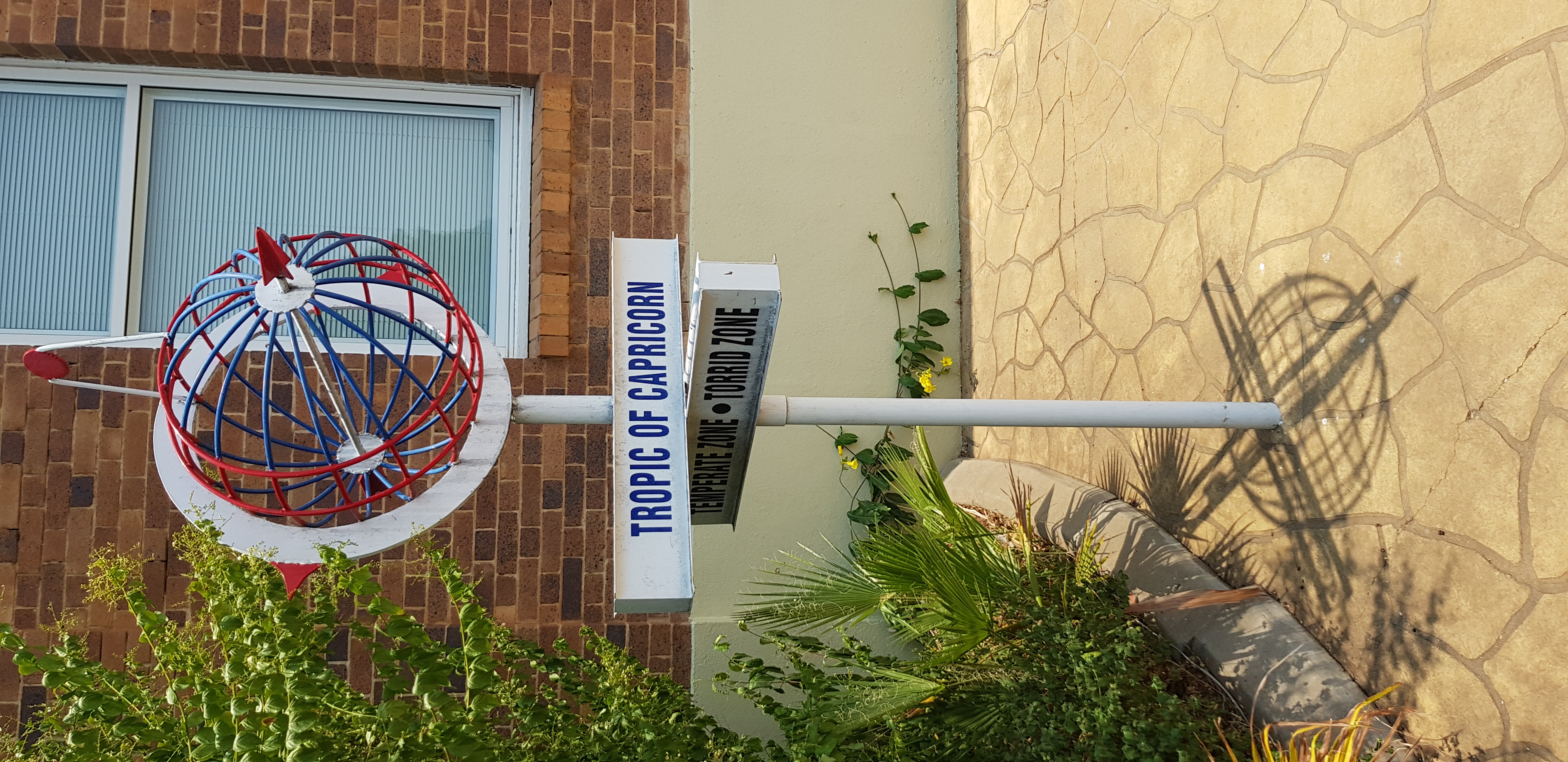
Longreach is a rural town and Suburbs and localities (Australia), locality in the Longreach Region, Queensland, Australia. It is the administrative centre of the Longreach Region, Longreach Local government in Australia, Regional Council, which was established in 2008 as a merger of the former Shire of Longreach, Longreach, Shire of Ilfracombe, Ilfracombe, and Shire of Isisford, Isisford shires. Longreach is a well known tourist destination due to its aviation history and importance. In the , the locality of Longreach had a population of 3,124. Geography Longreach is in Central West Queensland, approximately from the coast, west of Rockhampton. The town is on the Tropic of Capricorn in the south-east of the locality. The town is named after the ‘long reach’ of the Thomson River (Queensland), Thomson River on which it is situated. Lochern National Park is in the south-western part of the locality (formerly in Vergemont, Queensland, Vergemont). The main industries of th ... [...More Info...] [...Related Items...] OR: [Wikipedia] [Google] [Baidu] |
Ernestina, Queensland
Ernestina was a rural Suburbs and localities (Australia), locality in the Longreach Region, Queensland, Australia. It is now part of Longreach. History In the , Ernestina had a population of 16 people. In January 2019, it was decided to reduce the number of Suburbs and localities (Australia), localities within Longreach Region by amalgamating the localities to the north and west of the town of Longreach, Queensland, Longreach into the locality of Longreach. The localities amalgamated were: Camoola, Chorregon, Ernestina, Maneroo, Morella, Queensland, Morella, Tocal, Queensland, Tocal, and Vergemont, Queensland, Vergemont. As a consequence of this amalgamation, the Longreach Region has only three localities: Longreach, Ilfracombe, Queensland, Ilframcombe and Isisford, Queensland, Isisford. References External links Map showing Ernestina before the 2019 amalgamation [...More Info...] [...Related Items...] OR: [Wikipedia] [Google] [Baidu] |
Tocal, Queensland
Tocal was a rural locality in the Longreach Region, Queensland, Australia. It was amalgamated into the locality of Longreach. History In the , Tocal had a population of 14 people. In January 2019, it was decided to reduce the number of localities within Longreach Region by amalgamating the localities to the north and west of the town of Longreach into the locality of Longreach. The localities amalgamated were: Camoola, Chorregon, Ernestina, Maneroo Maneroo was a rural locality in the Longreach Region, Queensland, Australia. It is now part of Longreach. History In the , Maneroo had a population of 37 people. In January 2019, it was decided to reduce the number of localities within the Lo ..., Morella, Tocal, and Vergemont. As a consequence of this amalgamation, the Longreach Region has only three localities: Longreach, Ilframcombe and Isisford. References External links Map of Tocal prior to the 2019 amalgamation [...More Info...] [...Related Items...] OR: [Wikipedia] [Google] [Baidu] |
Vergemont, Queensland
Vergemont is a former rural locality in the Longreach Region, Queensland Queensland ( , commonly abbreviated as Qld) is a States and territories of Australia, state in northeastern Australia, and is the second-largest and third-most populous state in Australia. It is bordered by the Northern Territory, South Austr ..., Australia. It was amalgamated into the locality of Longreach. Geography The locality included the Lochern National Park in its southernmost section. History In the , Vergemont had a population of 26 people. In January 2019, it was decided to reduce the number of localities within Longreach Region by amalgamating the localities to the north and west of the town of Longreach into the locality of Longreach. The localities amalgamated were: Camoola, Chorregon, Ernestina, Maneroo, Morella, Tocal, and Vergemont. As a consequence of this amalgamation, the Longreach Region has just three localities: Longreach, Ilframcombe and Isisford. References ... [...More Info...] [...Related Items...] OR: [Wikipedia] [Google] [Baidu] |
Suburbs And Localities (Australia)
Suburbs and localities are the names of geographic subdivisions in Australia, used mainly for address purposes. The term locality is used in rural areas, while the term suburb is used in urban areas. Postcodes in Australia, Australian postcodes closely align with the boundaries of localities and suburbs. This Australian usage of the term "suburb" differs from common American and British usage of suburb (municipality outside of a big city). The Australian usage is closer to the American or British use of "neighbourhood" or "district", and can be used to refer to any portion of a city. Unlike the use in British or American English, this term can include inner-city, outer-metropolitan and industrial areas. Localities existed in the past as informal units, but in 1996 the Intergovernmental Committee on Surveying and Mapping and the Committee for Geographical Names in Australasia (CGNA) decided to name and establish official boundaries for all localities and suburbs. There has sub ... [...More Info...] [...Related Items...] OR: [Wikipedia] [Google] [Baidu] |
Longreach Region
The Longreach Region is a local government area in Central West Queensland, Australia. Established in 2008, it superseded three previous local government areas that had existed for more than a century. It has an estimated operating budget of A$22.3m. Traditionally, pastoral activities, tourism, and rural education have been the areas of focus within the region, with a major agricultural college and attractions such as the Australian Stockman's Hall of Fame and the Qantas Founders Outback Museum. In the , the Longreach Region had a population of 3,647 people. History Longreach Region lay on the traditional tribal lands of the Iningai. Iningai (also known as Yiningay, Muttaburra, Tateburra, Yinangay, Yinangi) is an Australian Aboriginal language spoken by the Iningai people. The Iningai language region includes the landscape within the local government boundaries of the Longreach Region, particularly the towns of Longreach, Barcaldine, Muttaburra and Aramac as well as the ... [...More Info...] [...Related Items...] OR: [Wikipedia] [Google] [Baidu] |
Queensland
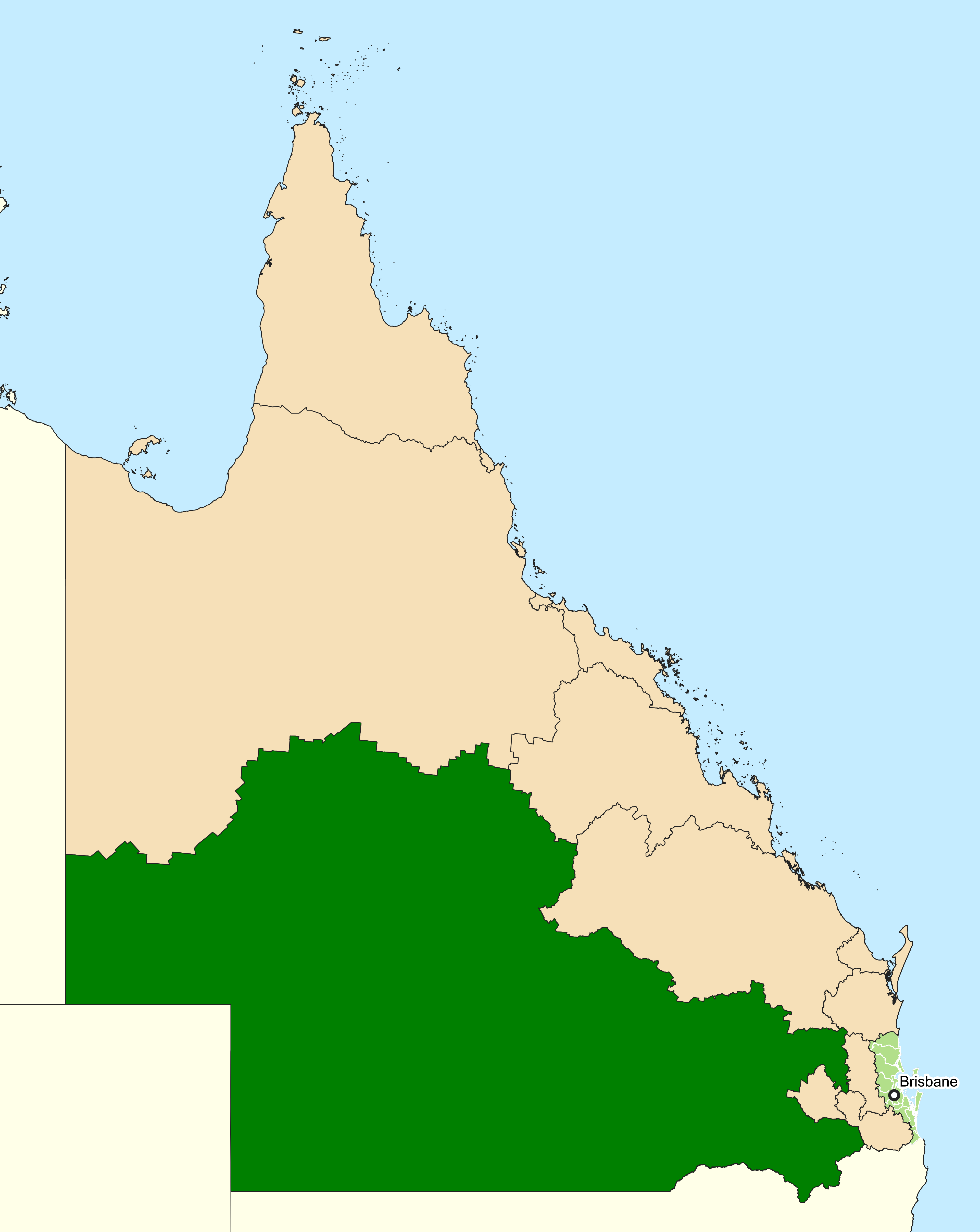
Queensland ( , commonly abbreviated as Qld) is a States and territories of Australia, state in northeastern Australia, and is the second-largest and third-most populous state in Australia. It is bordered by the Northern Territory, South Australia and New South Wales to the west, south-west and south, respectively. To the east, Queensland is bordered by the Coral Sea and the Pacific Ocean; to the state's north is the Torres Strait, separating the Australian mainland from Papua New Guinea, and the Gulf of Carpentaria to the north-west. With an area of , Queensland is the world's List of country subdivisions by area, sixth-largest subnational entity; it List of countries and dependencies by area, is larger than all but 16 countries. Due to its size, Queensland's geographical features and climates are diverse, and include tropical rainforests, rivers, coral reefs, mountain ranges and white sandy beaches in its Tropical climate, tropical and Humid subtropical climate, sub-tropical c ... [...More Info...] [...Related Items...] OR: [Wikipedia] [Google] [Baidu] |
Camoola
Camoola was a rural locality within the Longreach Region, Queensland, Australia, situated between the towns of Longreach and Muttaburra. It has been amalgamated into the locality of Longreach. History In the , Camoola had a population of 29 people. In January 2019, it was decided to reduce the number of localities within Longreach Region by amalgamating the localities to the north and west of the town of Longreach into the locality of Longreach. The localities amalgamated were: Camoola, Chorregon, Ernestina, Maneroo, Morella, Tocal, and Vergemont. As a consequence of this amalgamation, the Longreach Region has only three localities: Longreach, Ilfracombe Ilfracombe ( ) is a seaside resort and civil parishes in England, civil parish on the North Devon coast, England, with a small harbour surrounded by cliffs. The parish stretches along the coast from the 'Coastguard Cottages' in Hele Bay towar ... and Isisford. References External links Map showing Camoola befor ... [...More Info...] [...Related Items...] OR: [Wikipedia] [Google] [Baidu] |


