|
Mandwi
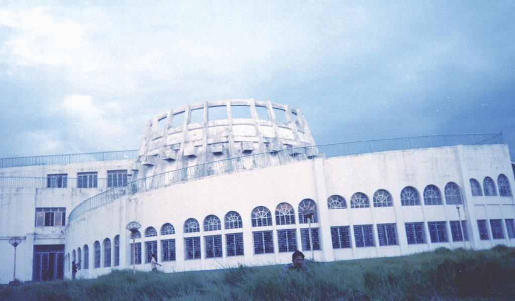
Mandwi is a town in the Sadar sub-division of the States of India, state of Tripura in the West Tripura district in India. It is in the Mandwi Rural Development Block. Description Mandwi (Mandai) is settled over a Summit (topography), hilltop. It was previously known as "Mandai" but its name was corrupted by earlier land recorders. It is linked with Jirania and Borokathal by roads. It is under the Tripura Tribal Areas Autonomous District Council. The town has a mini-stadium along the main road to Jirania. There is a town hall also, where most of the local programs and functions are organized. Other amenities such as water supply, electricity, telephones and schools are also available. See also * Uatlok Twithu, Borokathal. * Hwlwighati, Shilghati. * Khumulwng, the headquarters of Tripura Tribal Areas Autonomous District Council. References Cities and towns in West Tripura district West Tripura district {{Tripura-geo-stub ... [...More Info...] [...Related Items...] OR: [Wikipedia] [Google] [Baidu] |
Jirania
Jirania is a small town in the Indian state of Tripura on the banks of river Saidra (Haora). It is a Nagar Panchayat and also the headquarters of Jirania Rural Development Block. It is also the headquarters of Jirania Sub Division. It lies on National Highway 8 (Assam- Agartala Highway). The Jirania market is of great importance for the local business and its sustainance. The brick factories in and around Jirania are very famous, it serves for the town and its hinterland. There are more than 100 brick factories in Jirania Block. Jirania is the connecting link with the town of Khumulwng and Mandwi with the National highway. Other nearby towns include Ranirbazar and Champaknagar. One more thing that makes it famous is National Institute of Technology Agartala. Educational institutions National Institute of Technology, Agartala is located in Jirania. It is located 4 km away from College Chowmahani, which lies on the National Highway connecting Tripura with neighbourin ... [...More Info...] [...Related Items...] OR: [Wikipedia] [Google] [Baidu] |
West Tripura District
West Tripura is an administrative district in the state of Tripura in India. The district headquarters are located at Agartala. As of 2012 it is the most populous district of Tripura (out of 8). Geography Climate District profile The information provided below are taken from a book based on 2012 statistics, all the names, infos, details, etc. are in effect from and on 2012 Divisions West Tripura District has Three sub-divisions: * Mohanpur Subdivision *Jirania Subdivision * Sadar Subdivision West Tripura District has 9 Blocks: *Bamutia *Belbari *Dukli *Hezamara *Jirania *Lefunga *Mandwi *Mohanpur *Old Agartala Lok Sabha constituencies West Tripura district is located in two Lok Sabha constituencies: Tripura West (shared with South Tripura district), and Tripura East (shared with South Tripura, Dhalai and North Tripura districts). Demographics According to the 2011 census West Tripura district has a population of 1,725,739, roughly equal to the nation of The Gamb ... [...More Info...] [...Related Items...] OR: [Wikipedia] [Google] [Baidu] |
Tripura Tribal Areas Autonomous District Council
The Tripura Tribal Areas Autonomous District Council (TTAADC) is an autonomous district council administering the Tribal-dominated areas of the state of Tripura, India. Its council and assembly are situated in Khumulwng, a town 26 km away from Agartala, the state capital comprising 68% of the total geographical area of Tripura State. It is a constitutional body under the Sixth schedule of the Indian Constitution. History The ''Tripura Tribal Areas Autonomous District Council ( TTAADC) Act 1979'' was passed by the Indian parliament after a series of democratic movements launched by the Indigenous people of Tripura, under the provision of the 6th scheduled of the Indian constitution. The principal objective behind setting up the autonomous district council is to empower the Indigenous people to govern themselves and also to bring all round developments of the backward people so as to protect and preserve their culture, customs, and traditions. But it actually came into be ... [...More Info...] [...Related Items...] OR: [Wikipedia] [Google] [Baidu] |
States And Territories Of India
India is a federalism, federal union comprising 28 federated state, states and 8 union territory, union territories, for a total of 36 subnational entities. The states and union territories are further subdivided into 800 List of districts in India, districts and smaller administrative divisions of India, administrative divisions by the respective subnational government. The states of India are self-governing administrative divisions, each having a State governments of India, state government. The governing powers of the states are shared between the state government and the Government of India, union government. On the other hand, the union territories are directly governed by the union government. History 1876–1919 The British Raj was a very complex political entity consisting of various imperial divisions and states and territories of varying autonomy. At the time of its establishment in 1876, it was made up of 584 princely state, constituent states and the prov ... [...More Info...] [...Related Items...] OR: [Wikipedia] [Google] [Baidu] |
Khumulwng
Khumulwng is a town in the West Tripura district in the Indian state of Tripura. It is the headquarters and the largest town of the Tripura Tribal Areas Autonomous District Council. History Khumulwng was established in 1991. The TTAADC headquarters was shifted to the town from 1996 onwards. Geography It is situated 18 km from Agartala. Kokchap Nok The most beautiful landmark of the town is the Kaunsil Nok (Council House) located right in the heart of the town. This structure houses the legislative body of the TTAADC ( Tripura Tribal Areas Autonomous District Council). Demographics The ethnic population of the town are the Tripuri people formed about 99% in the area, rest are others. The predominant language is Kokborok. The other most used language is Bengali which is also used as a lingua franca. Culture Various socio-cultural clubs are coming up to develop the local culture, flora and fauna. The cultural beauty and abundance in Khumulwng is invaluable. The town i ... [...More Info...] [...Related Items...] OR: [Wikipedia] [Google] [Baidu] |
Hwlwighati
Shilghati (also spelled ''Silghati'') is a panchayat village located in the Gomati district of Tripura state of India. It is situated some 16 kilometers far from Udaipur, the nearest main town and lies on the banks of the river Gomati, which has its origin on the high altitudes of Boromura hill range. Description The people here mainly belong to the Tripuri Jamatia clan of Tripura who speak the language Kokborok (Tripuri), the remainder are various Bengalis. It has a market located on the main-road linking Udaipur with Kakraban and Melaghar. It has lush green agriculture farms located around the settlements. Amenities like school, post-office, telephones and electricity are available. Shilghati High School at tripura.nic.in located near the Shilghati Market has ... [...More Info...] [...Related Items...] OR: [Wikipedia] [Google] [Baidu] |
Uatlok Twithu
Uatlok Twithu also known as Borokathal, is a small town located in the interior of Sadar sub-division of West Tripura district of Tripura, India. The Sumli river flows through the town. The locality consist of the ethnic Tripuri people. The town has the only high secondary school of the area. The Location Uatlok Twithu is in the TTAADC. It is located in Sadar subdivision of West Tripura district in Tripura state of India. It is a strategic location in northern Sadar subdivision because of its existence as the starting point for journey to the interior Boromura hills. The town is situated over the plains besides the river Sumli that originates from Damra Hills in Boromura hill range. It has connectivity of road with important interior villages of Kisong, Boiragi, Hezamara. Barkathal Baptist Church The local church of Uatlok Twithu is one of the oldest in the Sumli Valley area. It has been the mother church of more than 9 other churches like Khwichang Baptist Church, Boira ... [...More Info...] [...Related Items...] OR: [Wikipedia] [Google] [Baidu] |
Schools
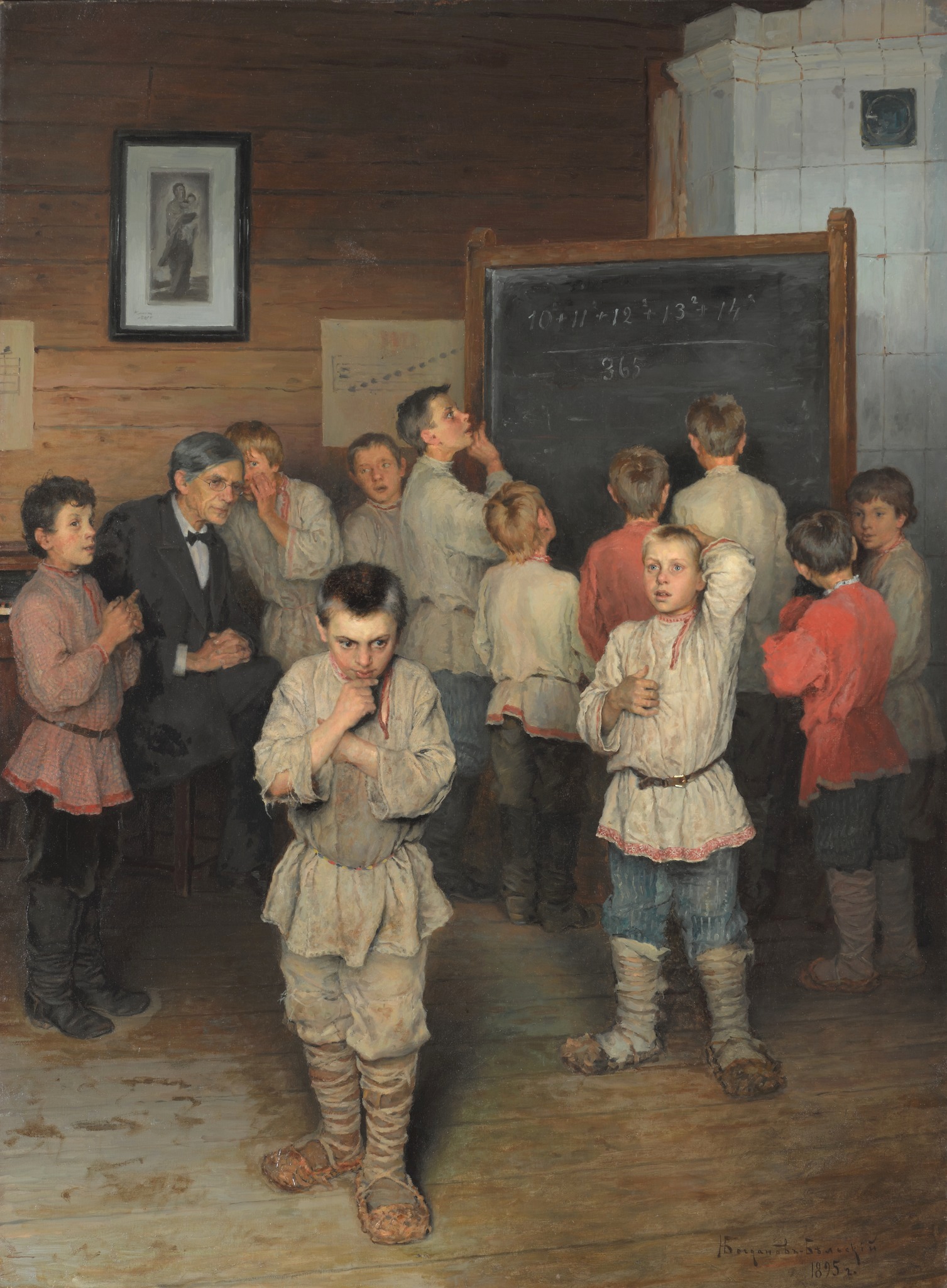
A school is the educational institution (and, in the case of in-person learning, the building) designed to provide learning environments for the teaching of students, usually under the direction of teachers. Most countries have systems of formal education, which is sometimes compulsory. In these systems, students progress through a series of schools that can be built and operated by both government and private organization. The names for these schools vary by country (discussed in the '' Regional terms'' section below) but generally include primary school for young children and secondary school for teenagers who have completed primary education. An institution where higher education is taught is commonly called a university college or university. In addition to these core schools, students in a given country may also attend schools before and after primary (elementary in the U.S.) and secondary (middle school in the U.S.) education. Kindergarten or preschool provide some s ... [...More Info...] [...Related Items...] OR: [Wikipedia] [Google] [Baidu] |
Telephones
A telephone, colloquially referred to as a phone, is a telecommunications device that enables two or more users to conduct a conversation when they are too far apart to be easily heard directly. A telephone converts sound, typically and most efficiently the human voice, into electronic signals that are transmitted via cables and other communication channels to another telephone which reproduces the sound to the receiving user. The term is derived from and (, ''voice''), together meaning ''distant voice''. In 1876, Alexander Graham Bell was the first to be granted a United States patent for a device that produced clearly intelligible replication of the human voice at a second device. This instrument was further developed by many others, and became rapidly indispensable in business, government, and in households. The essential elements of a telephone are a microphone (''transmitter'') to speak into and an earphone (''receiver'') which reproduces the voice at a distant locati ... [...More Info...] [...Related Items...] OR: [Wikipedia] [Google] [Baidu] |
Water Supply
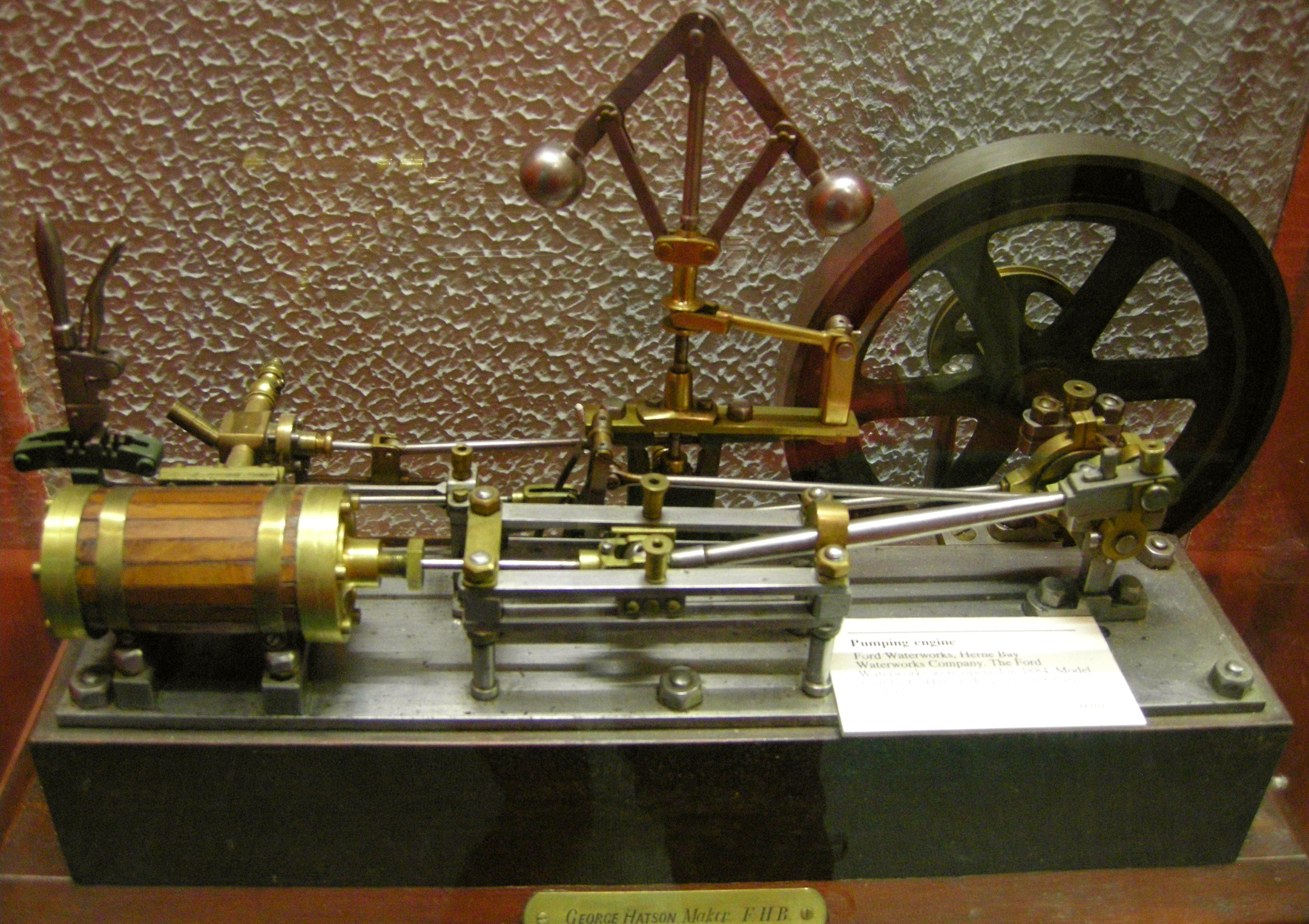
Water supply is the provision of water by public utilities, commercial organisations, community endeavors or by individuals, usually via a system of pumps and pipes. Public water supply systems are crucial to properly functioning societies. These systems are what supply drinking water to populations around the globe. Aspects of service quality include continuity of supply, water quality and water pressure. The institutional responsibility for water supply is arranged differently in different countries and regions (urban versus rural). It usually includes issues surrounding policy and regulation, service provision and standardization. The cost of supplying water consists, to a very large extent, of fixed costs (capital costs and personnel costs) and only to a small extent of variable costs that depend on the amount of water consumed (mainly energy and chemicals). Almost all service providers in the world charge tariffs to recover part of their costs. Water supply is a separat ... [...More Info...] [...Related Items...] OR: [Wikipedia] [Google] [Baidu] |
Town Hall
In local government, a city hall, town hall, civic centre (in the UK or Australia), guildhall, or municipal hall (in the Philippines) is the chief administrative building of a city, town, or other municipality. It usually houses the city or town council and at least some other arms of the local government. It also often functions as the office of the mayor (or other executive), if the relevant municipality has such an officer. In large cities, the local government is often administratively expansive, and the city hall may bear more resemblance to a municipal capitol building. By convention, until the middle of the 19th century, a single large open chamber (or "hall") formed an integral part of the building housing the council and such other organs of government as supported it. The hall may be used for council meetings and other significant events. This large chamber, the "town hall" (and its later variant "city hall") became synonymous with the whole building, and, synec ... [...More Info...] [...Related Items...] OR: [Wikipedia] [Google] [Baidu] |


