|
Malitubog River
The Malitubog River is one of the major tributaries of the Maradugao River in Mindanao, Philippines. The Malitubog–Maridagao River Irrigation System supports about 5,500 hectares of rice fields within the Autonomous Region in Muslim Mindanao The Autonomous Region in Muslim Mindanao (; ''Al-ḥukm adh-dhātī al-'iqlīmī li-muslimī Mindanāu''; ARMM) was an Autonomous regions of the Philippines, autonomous region of the Philippines, located in the Mindanao Island groups of the P .... The Municipality of Alamada's easternmost boundary is ends in the left bank of the river. References Rivers of the Philippines {{Philippines-river-stub ... [...More Info...] [...Related Items...] OR: [Wikipedia] [Google] [Baidu] |
Philippines
The Philippines, officially the Republic of the Philippines, is an Archipelagic state, archipelagic country in Southeast Asia. Located in the western Pacific Ocean, it consists of List of islands of the Philippines, 7,641 islands, with a total area of roughly 300,000 square kilometers, which are broadly categorized in Island groups of the Philippines, three main geographical divisions from north to south: Luzon, Visayas, and Mindanao. With a population of over 110 million, it is the world's List of countries and dependencies by population, twelfth-most-populous country. The Philippines is bounded by the South China Sea to the west, the Philippine Sea to the east, and the Celebes Sea to the south. It shares maritime borders with Taiwan to the north, Japan to the northeast, Palau to the east and southeast, Indonesia to the south, Malaysia to the southwest, Vietnam to the west, and China to the northwest. It has Ethnic groups in the Philippines, diverse ethnicities and Culture o ... [...More Info...] [...Related Items...] OR: [Wikipedia] [Google] [Baidu] |
Wao, Lanao Del Sur
Wao, officially the Municipality of Wao ( Maranao/Iranun: ''Inged a Wao''; ; ; ), is a municipality in the province of Lanao del Sur, Philippines. According to the 2020 census, it has a population of 50,366 people. Wao is the only Christian-majority municipality in its province. Wao is a diverse community, with different ethniolinguistic groups such as Hiligaynon, Ilocano, Iranun, Cebuano, Maranao, Talaandig, Ivatan, and Tagalog residing in the area. Ilonggo is the dominant language spoken among the residents of the municipality. Wao is now a First Class Municipality. Etymology There are three possible etymology for the name of the municipality Wao. One is a local folklore which involved Bai Sa Raya, a Moro princess from a monarchy in Cotabato who coincidentally visited the area which is now known as "Wao" during a serious drought. This led to the place being called Wao from the word ''kawaw'' or ''uhaw'' in the local language, which roughly translates to "I am thirsty". ... [...More Info...] [...Related Items...] OR: [Wikipedia] [Google] [Baidu] |
Mount Piapayungan
Mount Ragang, also called Mount Piapayungan and Blue Mountain by the local people, is an active stratovolcano on Mindanao island in the Philippines. With an elevation of , it is the seventh highest mountain in the Philippines and the highest point in the Lanao del Sur province. Location Mount Ragang is located in the southern part of Lanao del Sur in the Bangsamoro autonomous region. Physical features Ragang has an elevation of and a base diameter of . It is the most active volcano on Mindanao, and is part of a string of volcanoes in what volcanologists call the Central Mindanao Arc. It is one of the active volcanoes in the Philippines, which are all part of the Pacific ring of fire. Eruptions There is still some confusion on the number of times Ragang has erupted. The Philippine Institute of Volcanology and Seismology lists eight eruptions, with the last one occurring in July 1916. However, the Smithsonian Institution's Global Volcanology Programs, citing the ''Catalog of A ... [...More Info...] [...Related Items...] OR: [Wikipedia] [Google] [Baidu] |
Maradugao River
The Maradugao River (also called Maridugao and Maridagao) is a river that serves as a natural boundary between the provinces of Bukidnon and Lanao del Sur in Mindanao in southern Philippines. It joins the Pulangi River in Cotabato. Sources The river headwaters originate from the Kalatungan Mountain Range and Mount Piapayungan eventually emptying at the Pulangi River. Dam The ''Malitubog-Maridagao Dam'' (also known as ''Mal-Mar Dam'') is an irrigation project by the National Irrigation Administration The National Irrigation Administration (NIA; ) is a government-owned and controlled corporation of the Philippine government responsible for irrigation development and management in the Philippines. History NIA was created under Republic Act ( .... References Rivers of the Philippines Landforms of Bukidnon Landforms of Lanao del Sur {{Philippines-river-stub ... [...More Info...] [...Related Items...] OR: [Wikipedia] [Google] [Baidu] |
Pulangi River
The Pulangi River ( Cebuano pronunciation IPA uˈlaŋi; (), also spelled Pulangui, is one of the major tributaries of the Rio Grande de Mindanao, an extensive river system in Mindanao, Philippines. With a length of , it is the longest river in Bukidnon and the 5th longest river in the Philippines. It traverses through majority of the cities and municipalities of Bukidnon from its source in Barangay Kalabugao, Impasugong, Bukidnon. History Etymology The name of the river could have come from the Manobo term ''empamulangi'', meaning "center of the island", referring to the location of the river within the island of Mindanao. In Maguindanaon, the word ''pulangi'' means "river". Watershed and hydroelectric plant Pulangi has one reservoir type power plant, the Pulangi IV Hydroelectric Plant and watershed. The Pulangi IV Hydroelectric Plant has a capacity of 255 megawatts and provides for 25% of Mindanao's power needs. It is owned and operated by the National Power Corporation ... [...More Info...] [...Related Items...] OR: [Wikipedia] [Google] [Baidu] |
Mindanao River
The Rio Grande de Mindanao, also known as the Mindanao River, is the second-largest river system in the Philippines. Located on the southern island of Mindanao, with a total drainage area of , draining the majority of the central and eastern portion of the island, and a total length of approximately .''Principal River Basins of the Philippines'', published by the National Water Resources Board, October 1976 (p. 12) It is an important transportation artery, used mainly in transporting agricultural products and, formerly, timber. Its headwaters are in the mountains of Impasugong, Bukidnon, south of Gingoog in Misamis Oriental, where it is called the Pulangi River. Joining the Kabacan River, it becomes the Mindanao River. Flowing out of the mountains, it forms the center of a broad, fertile plain in the southcentral portion of the island. Before its mouth in Illana Bay, it splits into two parallel sections, the Cotabato and Tamontaka, separated by a hill. Population centers alo ... [...More Info...] [...Related Items...] OR: [Wikipedia] [Google] [Baidu] |
Tributaries
A tributary, or an ''affluent'', is a stream or river that flows into a larger stream ('' main stem'' or ''"parent"''), river, or a lake. A tributary does not flow directly into a sea or ocean. Tributaries, and the main stem river into which they flow, drain the surrounding drainage basin of its surface water and groundwater, leading the water out into an ocean, another river, or into an endorheic basin. The Irtysh is a chief tributary of the Ob river and is also the longest tributary river in the world with a length of . The Madeira River is the largest tributary river by volume in the world with an average discharge of . A confluence, where two or more bodies of water meet, usually refers to the joining of tributaries. The opposite to a tributary is a distributary, a river or stream that branches off from and flows away from the main stream. [...More Info...] [...Related Items...] OR: [Wikipedia] [Google] [Baidu] |
Mindanao
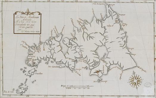
Mindanao ( ) is the List of islands of the Philippines, second-largest island in the Philippines, after Luzon, and List of islands by population, seventh-most populous island in the world. Located in the southern region of the archipelago, the island is part of an island group of the same name that also includes its adjacent islands, notably the Sulu Archipelago. According to the 2020 census, Mindanao had a population of 26,252,442, while the entire island group had an estimated population of 27,021,036. Mindanao is divided into six administrative regions: the Zamboanga Peninsula, Northern Mindanao, the Caraga region, the Davao Region, Davao region, Soccsksargen, and the autonomous region of Bangsamoro. According to the 2020 census, Davao City is the most populous city on the island, with 1,776,949 people, followed by Zamboanga City (pop. 977,234), Cagayan de Oro (pop. 728,402), General Santos (pop. 697,315), Butuan (pop. 372,910), Iligan (pop. 363,115) and Cotabato City (pop. ... [...More Info...] [...Related Items...] OR: [Wikipedia] [Google] [Baidu] |
Autonomous Region In Muslim Mindanao
The Autonomous Region in Muslim Mindanao (; ''Al-ḥukm adh-dhātī al-'iqlīmī li-muslimī Mindanāu''; ARMM) was an Autonomous regions of the Philippines, autonomous region of the Philippines, located in the Mindanao Island groups of the Philippines, island group of the Philippines, that consisted of five predominantly Islam in the Philippines, Muslim Provinces of the Philippines, provinces: Basilan (except Isabela, Basilan, Isabela City), Lanao del Sur, Maguindanao, Sulu, and Tawi-Tawi. It was the only Regions of the Philippines, region that had its own government. The region's ''de facto'' seat of government was Cotabato City, although this Cities of the Philippines#Independent cities, self-governing city was outside its jurisdiction. The ARMM included the province of Shariff Kabunsuan from its creation in 2006 until July 16, 2008, when Shariff Kabunsuan ceased to exist as a province after the Supreme Court of the Philippines declared the "Muslim Mindanao Autonomy Act 201 ... [...More Info...] [...Related Items...] OR: [Wikipedia] [Google] [Baidu] |
Alamada
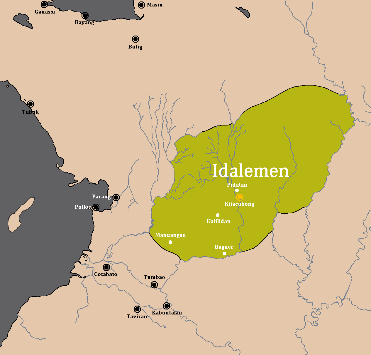
Alamada, officially the Municipality of Alamada (Maguindanao language, Maguindanaon: ''Inged nu Alamada'', Jawi Alphabet, Jawi: ايڠايد نو عالماد; Iranun language, Iranun: ''Inged a Alamada'', ايڠايد ا عالماد; ; ; ), is a municipality of the Philippines, municipality in the Philippine Province, province of Cotabato, Philippines. According to the 2020 census, it has a population of 68,659 people. The town is named after the local chieftain Datu Alamada, and is famous for the Asik-Asik Falls, one of the most expansive in the Philippines. History Its name was adopted in memory and in honor of the powerful ruler Datu Amaybulok Alamada. He was the leader who fought against the foreign oppression and tyranny. The Datu was recognized as one of the fiery rulers by the Iranon and the Dalaman who were scattered throughout the northern part of the Municipalities of Pigcauayan, Libungan, Sultan Kudarat and in Kitacubong (now Poblacion) as the seat of his kingdom. ... [...More Info...] [...Related Items...] OR: [Wikipedia] [Google] [Baidu] |


