|
Magersfontein Battlefield Museum
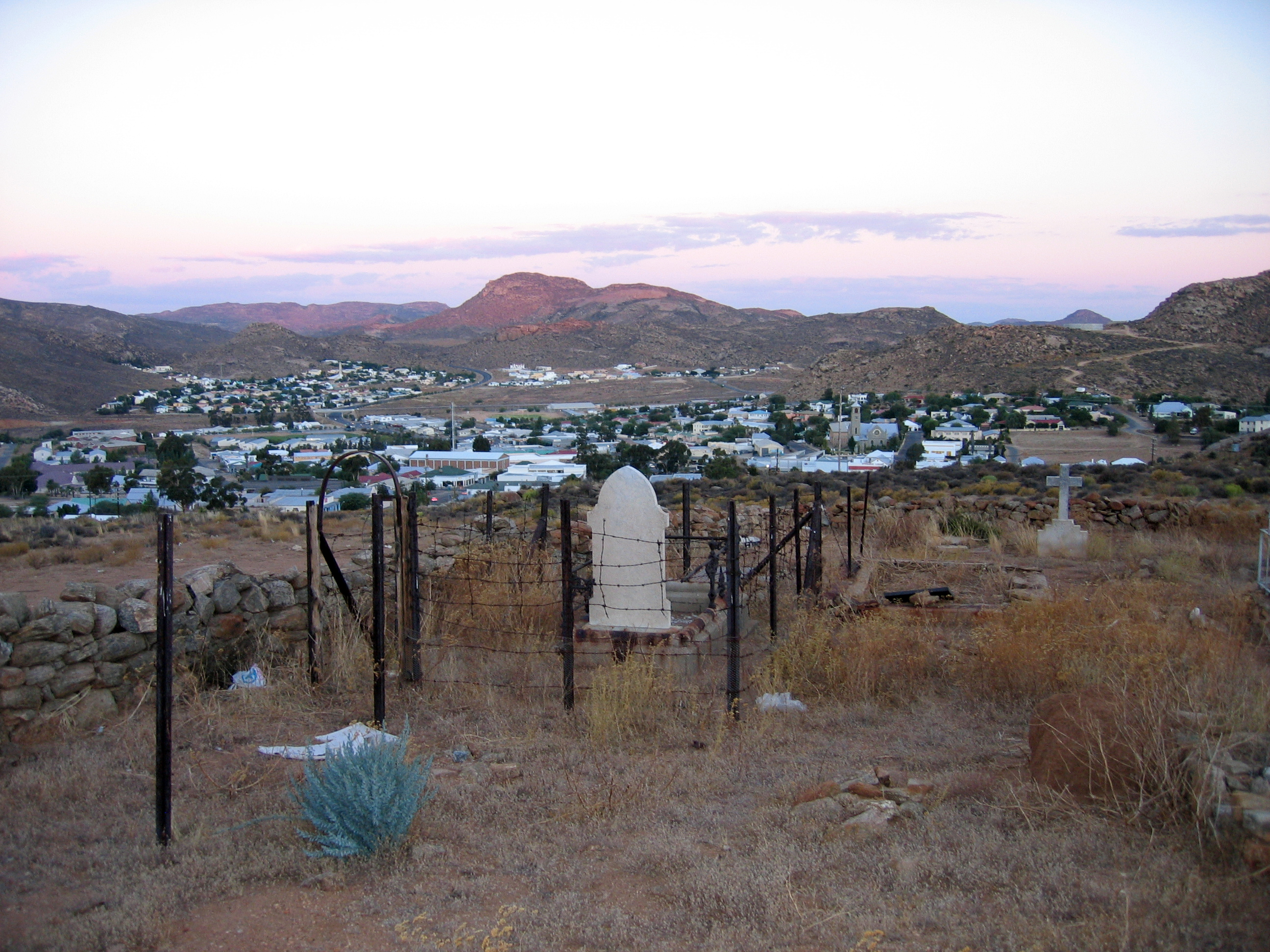
The MagersfonteinMisspelt "Maaghersfontein" in some British texts ( ) battlefield is a site of the Battle of Magersfontein (11 December 1899), part of the Second Boer War in South Africa. The battlefield is located at south of Kimberley, Northern Cape Province, South Africa and can be reached either via the airport road (31.5 km), or by national road via the Modder River The Modder River is a river in South Africa. It is a tributary of the Riet River that forms part of the border between the Northern Cape and the Free State provinces. The river's banks were the scenes of heavy fighting in the beginning of the ... (47.5 km). Footnotes Geography of the Northern Cape Kimberley, Northern Cape Military and war museums in South Africa Karoo Museums in the Northern Cape {{SouthAfrica-museum-stub ... [...More Info...] [...Related Items...] OR: [Wikipedia] [Google] [Baidu] |
Battle Of Magersfontein
The Battle of MagersfonteinSpelt incorrectly in various English texts as "Majersfontein", "Maaghersfontein" and "Maagersfontein". ( ) was fought on 11 December 1899, at Magersfontein, near Kimberley, Northern Cape, Kimberley, South Africa, on the borders of the British Cape Colony, Cape Colony and the independent republic of the Orange Free State (now in Sol Plaatje Local Municipality, Northern Cape). United Kingdom, British forces under Lieutenant General Paul Sanford Methuen, 3rd Baron Methuen, Lord Methuen were advancing north along the railway line from the Cape to relieve the siege of Kimberley, but their path was blocked at Magersfontein by a Boer force that was entrenched in the surrounding hills. The British had already fought a series of battles with the Boers, most recently at Battle of Modder River, Modder River, where the advance was temporarily halted. Lord Methuen failed to perform adequate reconnaissance in preparation for the impending battle and was unaware that ... [...More Info...] [...Related Items...] OR: [Wikipedia] [Google] [Baidu] |
Second Boer War
The Second Boer War (, , 11 October 189931 May 1902), also known as the Boer War, Transvaal War, Anglo–Boer War, or South African War, was a conflict fought between the British Empire and the two Boer republics (the South African Republic and Orange Free State) over Britain's influence in Southern Africa. The Witwatersrand Gold Rush caused a large influx of "Uitlander, foreigners" (''Uitlanders'') to the South African Republic (SAR), mostly British from the Cape Colony. As they, for fear of a hostile takeover of the SAR, were permitted to vote only after 14 years of residence, they protested to the British authorities in the Cape. Negotiations failed at the botched Bloemfontein Conference in June 1899. The conflict broke out in October after the British government decided to send 10,000 troops to South Africa. With a delay, this provoked a Boer and British ultimatum, and subsequent Boer Irregular military, irregulars and militia attacks on British colonial settlements in Natal ... [...More Info...] [...Related Items...] OR: [Wikipedia] [Google] [Baidu] |
South Africa
South Africa, officially the Republic of South Africa (RSA), is the Southern Africa, southernmost country in Africa. Its Provinces of South Africa, nine provinces are bounded to the south by of coastline that stretches along the Atlantic Ocean, South Atlantic and Indian Ocean; to the north by the neighbouring countries of Namibia, Botswana, and Zimbabwe; to the east and northeast by Mozambique and Eswatini; and it encloses Lesotho. Covering an area of , the country has Demographics of South Africa, a population of over 64 million people. Pretoria is the administrative capital, while Cape Town, as the seat of Parliament of South Africa, Parliament, is the legislative capital, and Bloemfontein is regarded as the judicial capital. The largest, most populous city is Johannesburg, followed by Cape Town and Durban. Cradle of Humankind, Archaeological findings suggest that various hominid species existed in South Africa about 2.5 million years ago, and modern humans inhabited the ... [...More Info...] [...Related Items...] OR: [Wikipedia] [Google] [Baidu] |
Kimberley, South Africa
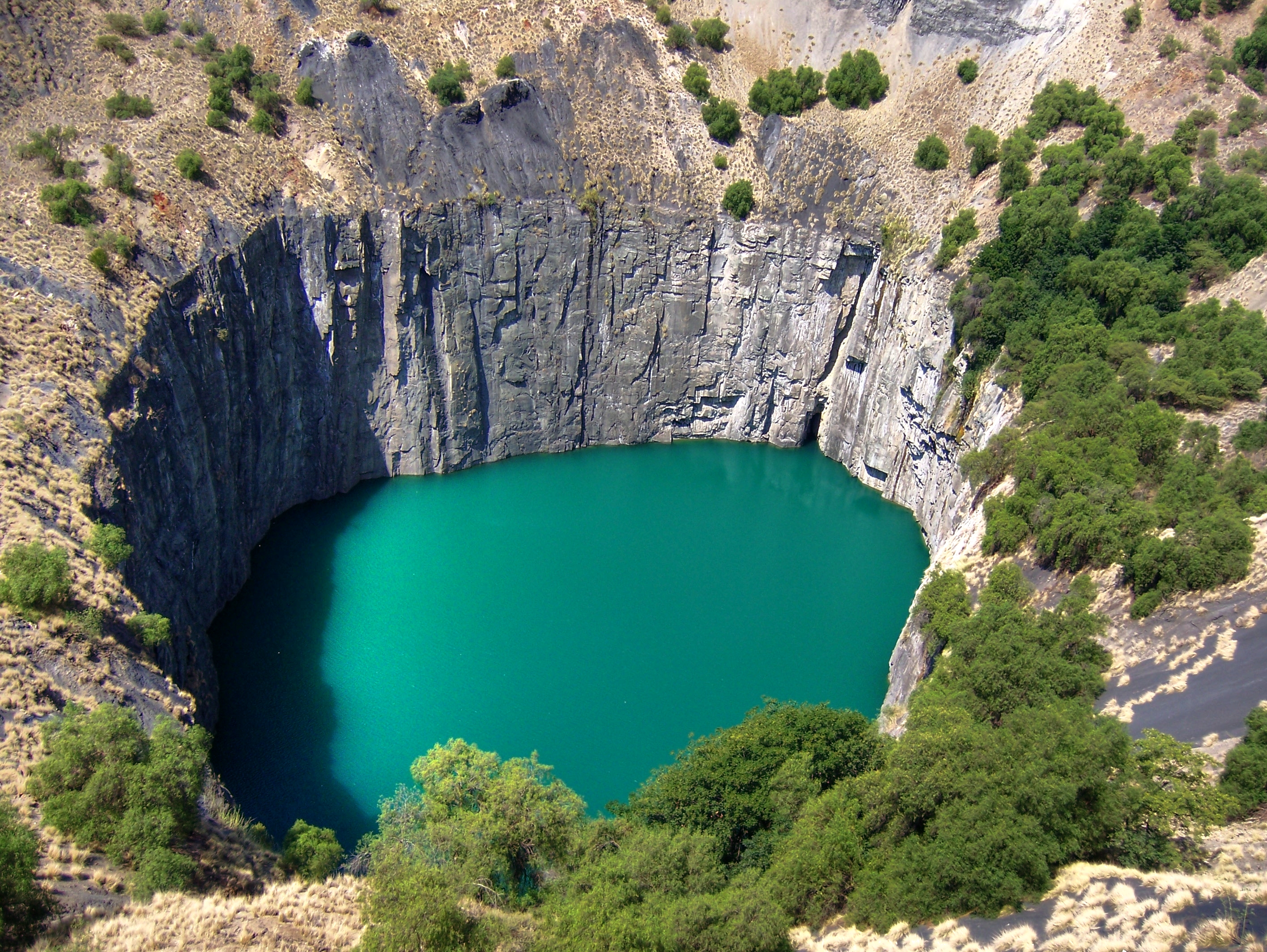
Kimberley is the Capital city, capital and largest city of the Northern Cape province of South Africa. It is located approximately 110 km east of the confluence of the Vaal River, Vaal and Orange Rivers. The city has considerable historical significance because of its diamond mining past and the Siege of Kimberley, siege during the Second Boer War, Second Boer War. The British businessmen Cecil Rhodes and Barney Barnato made their fortunes in Kimberley, and Rhodes also established the De Beers diamond company in the early days of the mining town. On 2 September 1882, Kimberley was the first city in the Southern Hemisphere and the second in the world after Philadelphia, in the United States, to install electricity, electric street lighting. The first stock exchange in Africa was built in Kimberley as early as 1881. History Discovery of diamonds In 1866, Erasmus Jacobs found a small brilliant pebble on the banks of the Orange River, on the farm ''De Kalk'' leased from l ... [...More Info...] [...Related Items...] OR: [Wikipedia] [Google] [Baidu] |
Northern Cape Province
The Northern Cape ( ; ; ) is the largest and most sparsely populated province of South Africa. It was created in 1994 when the Cape Province was split up. Its capital is Kimberley. It includes the Kalahari Gemsbok National Park, part of the Kgalagadi Transfrontier Park and an international park shared with Botswana. It also includes the Augrabies Falls and the diamond mining regions in Kimberley and Alexander Bay. The Namaqualand region in the west is famous for its Namaqualand daisies. The southern towns of De Aar and Colesberg found within the Great Karoo are major transport nodes between Johannesburg, Cape Town and Gqeberha. Kuruman can be found in the north-east and is known as a mission station. It is also well known for its artesian spring and Eye of Kuruman. The Orange River flows through the province, forming the borders with the Free State in the southeast and with Namibia to the northwest. The river is also used to irrigate the many vineyards in the arid reg ... [...More Info...] [...Related Items...] OR: [Wikipedia] [Google] [Baidu] |
Kimberley Airport
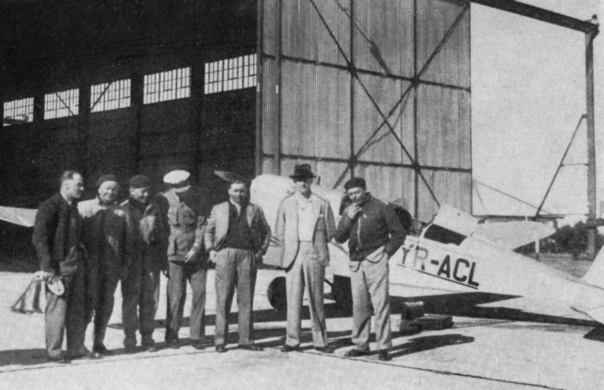
Kimberley Airport based in the Northern Cape is an airport that serves Kimberley, the capital city of the province and its surrounding areas. It was established in 1912. The airport is approximately 6.5 kilometers (12 minutes) away from the centre of Kimberley.url=https://kimberleyairport.co.za, date= 24 October 2019 Annually, the Airport transports approximately 170,000 passengers across around 10,000 flights through airlines Airlink and ChemAir and provides regular domestic flights in South Africa between Cape Town International Airport and O.R Tambo International Airport in Johannesburg. Facilities The airport is at an elevation of above mean sea level. It has two asphalt paved runways: 02/20 measuring and 10/28 measuring . Airlines and destinations Traffic statistics See also * List of airports in South Africa This is a list of airports in South Africa, grouped by type and sorted by location. Most of the largest airports are owned by the Airports Company of S ... [...More Info...] [...Related Items...] OR: [Wikipedia] [Google] [Baidu] |
Modder River
The Modder River is a river in South Africa. It is a tributary of the Riet River that forms part of the border between the Northern Cape and the Free State provinces. The river's banks were the scenes of heavy fighting in the beginning of the Second Boer War at the Battle of Modder River. There is an inhabited farming place named 'Modder River' just north of the confluence between this river and the Riet.''Padlangs deur Suid-Afrika.'' 2010 The Modder River is used extensively for irrigation, including the Krugersdrift Dam near Bloemfontein. See also * Battle of Modder River * List of rivers of South Africa This is a list of rivers in South Africa. It is quite common to find the Afrikaans word ''-rivier'' as part of the name. Another common suffix is "''-kamma''", from the Khoisan term for "river" Meiring, Barbara"South African Toponymic Guidelin ... References External links Battle of Modder River, 28 November 1899 Vaal River Modder River Karoo Rivers of t ... [...More Info...] [...Related Items...] OR: [Wikipedia] [Google] [Baidu] |
Geography Of The Northern Cape
Geography (from Ancient Greek ; combining 'Earth' and 'write', literally 'Earth writing') is the study of the lands, features, inhabitants, and phenomena of Earth. Geography is an all-encompassing discipline that seeks an understanding of Earth and its human and natural complexities—not merely where objects are, but also how they have changed and come to be. While geography is specific to Earth, many concepts can be applied more broadly to other celestial bodies in the field of planetary science. Geography has been called "a bridge between natural science and social science disciplines." Origins of many of the concepts in geography can be traced to Greek Eratosthenes of Cyrene, who may have coined the term "geographia" (). The first recorded use of the word γεωγραφία was as the title of a book by Greek scholar Claudius Ptolemy (100 – 170 AD). This work created the so-called "Ptolemaic tradition" of geography, which included "Ptolemaic cartographic theory." ... [...More Info...] [...Related Items...] OR: [Wikipedia] [Google] [Baidu] |
Kimberley, Northern Cape
Kimberley is the Capital city, capital and largest city of the Northern Cape province of South Africa. It is located approximately 110 km east of the confluence of the Vaal River, Vaal and Orange Rivers. The city has considerable historical significance because of its diamond mining past and the Siege of Kimberley, siege during the Second Boer War, Second Boer War. The British businessmen Cecil Rhodes and Barney Barnato made their fortunes in Kimberley, and Rhodes also established the De Beers diamond company in the early days of the mining town. On 2 September 1882, Kimberley was the first city in the Southern Hemisphere and the second in the world after Philadelphia, in the United States, to install electricity, electric street lighting. The first stock exchange in Africa was built in Kimberley as early as 1881. History Discovery of diamonds In 1866, Erasmus Jacobs found a small brilliant pebble on the banks of the Orange River, on the farm ''De Kalk'' leased from l ... [...More Info...] [...Related Items...] OR: [Wikipedia] [Google] [Baidu] |
Military And War Museums In South Africa
A military, also known collectively as armed forces, is a heavily armed, highly organized force primarily intended for warfare. Militaries are typically authorized and maintained by a sovereign state, with their members identifiable by a distinct military uniform. They may consist of one or more military branches such as an army, navy, air force, space force, marines, or coast guard. The main task of a military is usually defined as defence of their state and its interests against external armed threats. In broad usage, the terms "armed forces" and "military" are often synonymous, although in technical usage a distinction is sometimes made in which a country's armed forces may include other paramilitary forces such as armed police. Beyond warfare, the military may be employed in additional sanctioned and non-sanctioned functions within the state, including internal security threats, crowd control, promotion of political agendas, emergency services and reconstruction, prot ... [...More Info...] [...Related Items...] OR: [Wikipedia] [Google] [Baidu] |
Karoo
The Karoo ( ; from the Afrikaans borrowing of the South Khoekhoe Khoemana (also known as !Orakobab or Korana) word is a semidesert natural region of South Africa. No exact definition of what constitutes the Karoo is available, so its extent is also not precisely defined. The Karoo is partly defined by its topography, Karoo Supergroup, geology and climate, and above all, its low rainfall, arid air, cloudless skies, and extremes of heat and cold. The Karoo also hosted a well-preserved ecosystem hundreds of millions of years ago which is now represented by many fossils. The Karoo formed an almost impenetrable barrier to the interior from Cape Town, and the early adventurers, explorers, hunters, and travelers on the way to the Highveld unanimously denounced it as a frightening place of great heat, great frosts, great floods, and great droughts. Today, it is still a place of great heat and frosts, and an annual rainfall of between 50 and 250 mm, though on some of the mountains i ... [...More Info...] [...Related Items...] OR: [Wikipedia] [Google] [Baidu] |


