|
Macdona
Macdona is an unincorporated community and census-designated place in Bexar County, Texas, United States. As of the 2010 census, it had a population of 559. Macdona lies along the Union Pacific rail line near Loop 1604 in southwest Bexar County. It is part of the San Antonio Metropolitan Statistical Area. History Macdona was named for George Macdona, an Englishman, who owned the townsite. The first recorded sale of town lots was dated July 7, 1886. The Macdona post office (78054) opened in 1886. On September 1, 1909, the Artesian Belt opened a line between Macdona and Christine. In 2000, Macdona was reported to have 297 persons. The town is part of the 210 and 726 area code districts. Demographics Macdona first appeared as a census designated place in the 2010 U.S. Census. Climate The climate in this area is characterized by hot, humid summers and generally mild to cool winters. According to the Köppen Climate Classification system, Macdona has a humid subtropical cli ... [...More Info...] [...Related Items...] OR: [Wikipedia] [Google] [Baidu] |
Union Pacific Railroad
The Union Pacific Railroad is a Railroad classes, Class I freight-hauling railroad that operates 8,300 locomotives over routes in 23 U.S. states west of Chicago and New Orleans. Union Pacific is the second largest railroad in the United States after BNSF Railway, BNSF, with which it shares a duopoly on transcontinental freight rail lines in the Western United States, Western, Midwestern United States, Midwestern and West South Central states, West South Central United States. Founded in 1862, the original Union Pacific Rail Road was part of the first transcontinental railroad project, later known as the Overland Route (Union Pacific Railroad), Overland Route. Over the next century, UP absorbed the Missouri Pacific Railroad, the Western Pacific Railroad, the Missouri–Kansas–Texas Railroad and the Chicago, Rock Island and Pacific Railroad. In 1995, the Union Pacific merged with Chicago and North Western Transportation Company, completing its reach into the Upper Midwest. In ... [...More Info...] [...Related Items...] OR: [Wikipedia] [Google] [Baidu] |
Census-designated Places In Texas
This article lists census-designated places (CDPs) in the U.S. state of Texas. Census-designated places (CDPs) are unincorporated communities lacking elected municipal officers and boundaries with legal status. The term "census designated place" has been used as an official classification by the U.S. Census Bureau since 1980."Chapter 9 – Places" in ''Geographic Areas Reference Manual (GARM)'' United States Census Bureau. Accessed November 19, 2016. Prior to that, select unincorporated communities were surveyed in the U.S. Census. As of 2020 United States census, 2020 Census, there were a total of 637 census-designated places in Texas. Census-Designated Places ...
|
San Antonio Metropolitan Area
Greater San Antonio, officially designated San Antonio–New Braunfels, is an eight-county metropolitan area in the U.S. state of Texas defined by the Office of Management and Budget (OMB). The metropolitan area straddles South Texas and Central Texas and is on the southwestern corner of the Texas Triangle. The official 2020 U.S. census showed the metropolitan area's population at 2,558,143—up from a reported 1,711,103 in 2000—making it the 24th largest metropolitan area in the United States. Downtown Austin and Downtown San Antonio are approximately apart, and both fall along the Interstate 35 corridor. This combined metropolitan region of San Antonio–Austin has approximately 5 million people. San Antonio–New Braunfels is the third-largest metro area in Texas, after and . Counties There are eight counties that combine to form Greater San Antonio. The central county is Bexar. The MSA covers a total of , of which is land and is water. Communities Greater San A ... [...More Info...] [...Related Items...] OR: [Wikipedia] [Google] [Baidu] |
Bexar County, Texas
Bexar County ( or ; ) is a County (United States), county in the U.S. state of Texas. It is in South Texas and its county seat is San Antonio. As of the 2020 United States census, 2020 census, the population was 2,009,324, making it the state's fourth-most populous county. Bexar County is included in the San Antonio–New Braunfels, Texas, New Braunfels, TX Greater San Antonio, metropolitan statistical area. It is the List of the most populous counties in the United States, 16th-most populous county in the nation and the fourth-most populated in Texas. Bexar County has a large Hispanic population with a significant growing African American population. With a population that is 59.3% Hispanic as of 2020, it is Texas' List of Majority-Hispanic or Latino Counties in the U.S., most populous majority-Hispanic county and the third-largest such nationwide. History Bexar County was created on December 20, 1836, and encompassed almost the entire western portion of the Republic of T ... [...More Info...] [...Related Items...] OR: [Wikipedia] [Google] [Baidu] |
Area Code 726
Area codes 210 and 726 are telephone area codes in the North American Numbering Plan (NANP) for San Antonio and most of its innermost suburbs in Bexar County in the U.S. state of Texas. The original area code, 210, was created in an area code split from area code 512 in 1992. After only a few years, the threat of number exhaustion forced a split in 1997. Most of the 210 territory outside of Bexar County became area code 830, which completely surrounded 210. Area code 726 was assigned to the same numbering plan area in an overlay complex activated in 2017 to alleviate the threat of exhaustion of central office codes that was expected by 2018. History Area code 210 was created on November 1, 1992, in a split from area code 512. The new numbering plan area included the San Antonio area, most of the Hill Country, and the Rio Grande Valley. Before 1992, 512 had served the entire south-central portion of Texas since the area code system was instituted by AT&T in 1947; 512 was th ... [...More Info...] [...Related Items...] OR: [Wikipedia] [Google] [Baidu] |
Texas State Highway Loop 1604
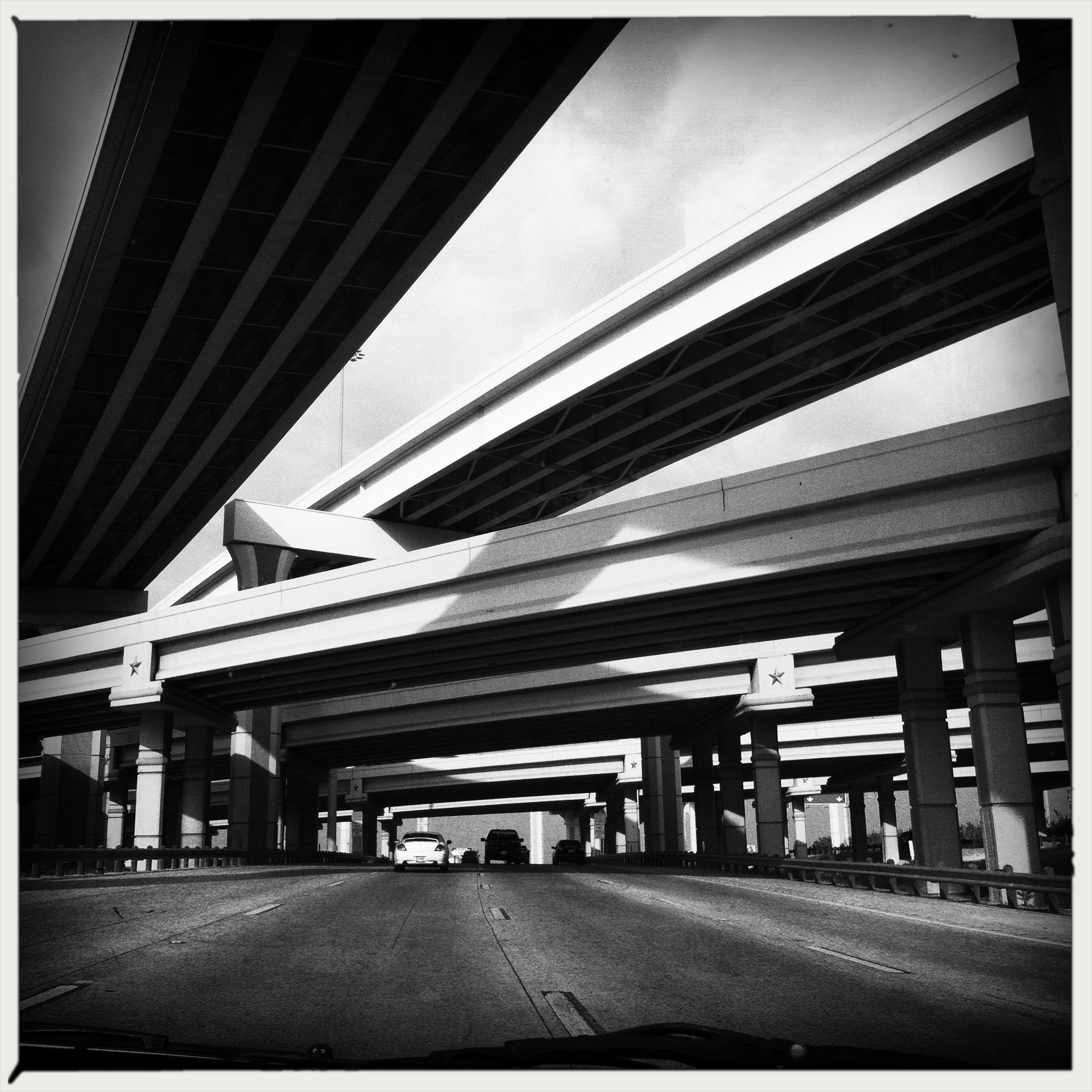
Loop 1604 is the outer highway loop encircling San Antonio, Texas, spanning approximately . Originally constructed as a two-lane highway, the northern segment of the route, from US 90 in western San Antonio to Kitty Hawk Road in northeastern Bexar County, has been upgraded to a four-lane freeway. Loop 1604 is designated the Charles W. Anderson Loop in honor of former Bexar County Judge Charles W. Anderson, who died from cancer in 1964 after serving for 25 years. Route description Loop 1604 forms a complete loop around the city of San Antonio and is the outer of two loops around the city with I-410 being the inner loop. The route has portions that are built to freeway standards, portions built as a divided highway, and portions that are just a two-lane rural road. As with I-410, the city's inner loop, the northern half is more urbanized and the southern half, for the most part, remains rural. The loop officially begins and ends at I-10 east of San Antonio. It ... [...More Info...] [...Related Items...] OR: [Wikipedia] [Google] [Baidu] |
Area Code 210
Area codes 210 and 726 are telephone area codes in the North American Numbering Plan (NANP) for San Antonio and most of its innermost suburbs in Bexar County in the U.S. state of Texas. The original area code, 210, was created in an area code split from area code 512 in 1992. After only a few years, the threat of number exhaustion forced a split in 1997. Most of the 210 territory outside of Bexar County became area code 830, which completely surrounded 210. Area code 726 was assigned to the same numbering plan area in an overlay complex activated in 2017 to alleviate the threat of exhaustion of central office codes that was expected by 2018. History Area code 210 was created on November 1, 1992, in a split from area code 512. The new numbering plan area included the San Antonio area, most of the Hill Country, and the Rio Grande Valley. Before 1992, 512 had served the entire south-central portion of Texas since the area code system was instituted by AT&T in 1947; 512 was th ... [...More Info...] [...Related Items...] OR: [Wikipedia] [Google] [Baidu] |
Asian Americans
Asian Americans are Americans with Asian diaspora, ancestry from the continent of Asia (including naturalized Americans who are Immigration to the United States, immigrants from specific regions in Asia and descendants of those immigrants). Although this term had historically been used for all the indigenous peoples of the continent of Asia, the usage of the term "Asian" by the United States Census Bureau denotes a racial category that includes people with origins or ancestry from East Asia, South Asia, Southeast Asia, and Central Asia. It excludes people with ethnic origins from West Asia, who were historically classified as 'white' and will be categorized as Middle Eastern Americans starting from the 2030 United States census, 2030 census. Central Asians in the United States, Central Asian ancestries (including Afghans, Afghan, Kazakhs, Kazakh, Kyrgyz people, Kyrgyz, Tajiks, Tajik, Turkmens, Turkmen, and Uzbeks, Uzbek) were previously not included in any racial category but h ... [...More Info...] [...Related Items...] OR: [Wikipedia] [Google] [Baidu] |
Native Hawaiian
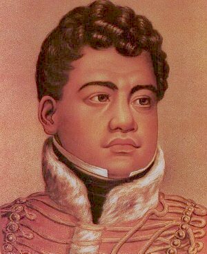
Native Hawaiians (also known as Indigenous Hawaiians, Kānaka Maoli, Aboriginal Hawaiians, or simply Hawaiians; , , , and ) are the Indigenous peoples of Oceania, Indigenous Polynesians, Polynesian people of the Hawaiian Islands. Hawaiʻi was settled at least 800 years ago by Polynesians who sailed from the Society Islands. The settlers gradually became detached from their homeland and developed a distinct Hawaiian culture and identity in their new home. They created new religious and cultural structures, in response to their new circumstances and to pass knowledge from one generation to the next. Hence, the Hawaiian religion focuses on ways to live and relate to the land and instills a sense of community. The Hawaiian Kingdom was formed in 1795, when Kamehameha the Great, of the then-independent Hawaii (island), island of Hawaiʻi, conquered the independent islands of Oʻahu, Maui, Molokaʻi, and Lānaʻi to form the kingdom. In 1810, Kauaʻi and Niʻihau joined the Kingdom, the ... [...More Info...] [...Related Items...] OR: [Wikipedia] [Google] [Baidu] |
Pacific Islander Americans
Pacific Islander Americans (also colloquially referred to as Islander Americans) are Americans who are of Pacific Islander ancestry (or are descendants of the Indigenous peoples of Oceania). For its purposes, the United States census also counts Aboriginal Australians as part of this group. Pacific Islander Americans make up 0.5% of the US population including those with partial Pacific Islander ancestry, enumerating about 1.4 million people. The largest ethnic subgroups of Pacific Islander Americans are Native Hawaiians, Samoan Americans, Samoans, and Chamorro people, Chamorros. Much of the Pacific Islander population resides in Hawaii, Alaska, California, Utah, and Texas. Pacific Islanders may be considered Oceanian Americans, but this group may include Australians and New Zealander-origin people, who can be of non-Pacific Islander ethnicity. Many Pacific Islander Americans are mixed with other races, especially Europeans and Asians, due to Pacific Islanders being a small p ... [...More Info...] [...Related Items...] OR: [Wikipedia] [Google] [Baidu] |
Multiracial Americans
Multiracial Americans, also known as mixed-race Americans, are Americans who have mixed ancestry of two or more Race and ethnicity in the United States, races. The term may also include Americans of multiracial people, mixed-race ancestry who ethnic group, self-identify with just one group culturally and socially (cf. the one-drop rule). In the 2020 United States census, 33.8 million individuals or 10.2% of the population, self-identified as multiracial. There is evidence that an accounting by genetic ancestry would produce a higher number. The multiracial population is the fastest growing demographic group in the United States, increasing by 276% between 2010 and 2020. This growth was driven largely by Hispanic and Latino Americans, Hispanic or Latino Americans identifying as multiracial, with this group increasing from 3 million in 2010 to over 20 million in 2020, making up almost two thirds of the multiracial population. Most multiracial Hispanics identified as White Americans, ... [...More Info...] [...Related Items...] OR: [Wikipedia] [Google] [Baidu] |


