|
Ma'ale Shomron
Ma'ale Shomron () is an Israeli settlement in the northern West Bank. Located about 300 metres above sea level, it is organised as a community settlement and falls under the jurisdiction of Shomron Regional Council. In 2019 it had a population of 996. The international community considers Israeli settlements in the West Bank illegal under international law, but the Israeli government disputes this. History The settlement was established in February 1980 by a mixed group of Orthodox and non-religious Israelis from the Beitar and Herut movements. It is closely bordered by Karnei Shomron. According to ARIJ, Israel confiscated land from several Palestinian villages in order to construct Ma'ale Shomron, including 268 dunums of land from Azzun, 69 dunams from Deir Istiya,Deir Istiya Town Profile ARIJ, p. 18 and 36 ... [...More Info...] [...Related Items...] OR: [Wikipedia] [Google] [Baidu] |
Mishkei Herut Beitar
Mishkei Herut Beitar () is a Revisionist Zionism, revisionist Zionist Settlement movement (Israel), settlement movement in Israel, affiliated with Betar, Beitar and Likud. It is based in the Metzudat Ze'ev offices on King George Street (Tel Aviv), King George Street in Tel Aviv. History Early Mishkei Herut Beitar settlements were established by members of the Platoon of the Wall brigade of Beitar. The first was Ramat Tyomkin (now part of Netanya) in 1932, followed by Tel Tzur near Zikhron Ya'akov. The movement was affiliated with the Herut party,Meron Benvenisti (1986) ''The West Bank Handbook'', The Jerusalem Post, p105 which later merged into Likud. Due to ideological differences with other settlements, most of which were affiliated with Labor Zionism, in one case a separate regional council, Alona Regional Council, Alona, was created for the three Herut Beitar settlements in Haifa District.S. Ilan Troen & Noah Lucas (2012) ''Israel: The First Decade of Independence'', SUNY Pre ... [...More Info...] [...Related Items...] OR: [Wikipedia] [Google] [Baidu] |
Kafr Thulth
Kafr Thulth () is a Palestinians, Palestinian town located on high, flat land south of Azzoun, south of Tulkarm in the Qalqilya Governorate. The average elevation is above sea level. According to the Palestinian Central Bureau of Statistics, the town's population was 5,606 in the 2017 census. Name ''Kafr'' in Syriac language, Syriac means "village" and ''Thulth'' means "three" or "a third". This name preserves the Place names of Palestine, place name, originally in Hebrew, of Baal-shalisha, an ancient Biblical village believed to have been located to the south at a site known in modern times as Khirbat Sirisya.Freedman et al., 2000p. 136 Geography Kafr Thulth is bordered by Azzun to the south, Sanniriya and Biddya villages to the east and Deir Istiya to the west. In 1948, parts of Kharab and Aizab, such as, Salman, al-Moudwer, al-Sheikh Ahmad, al-Ashqar, Ras Tirah, al-Dabha, Kirash Kherba and Ras Atiya — villages or land areas that originally belonged to Kafr Thulth were s ... [...More Info...] [...Related Items...] OR: [Wikipedia] [Google] [Baidu] |
Yad Vashem
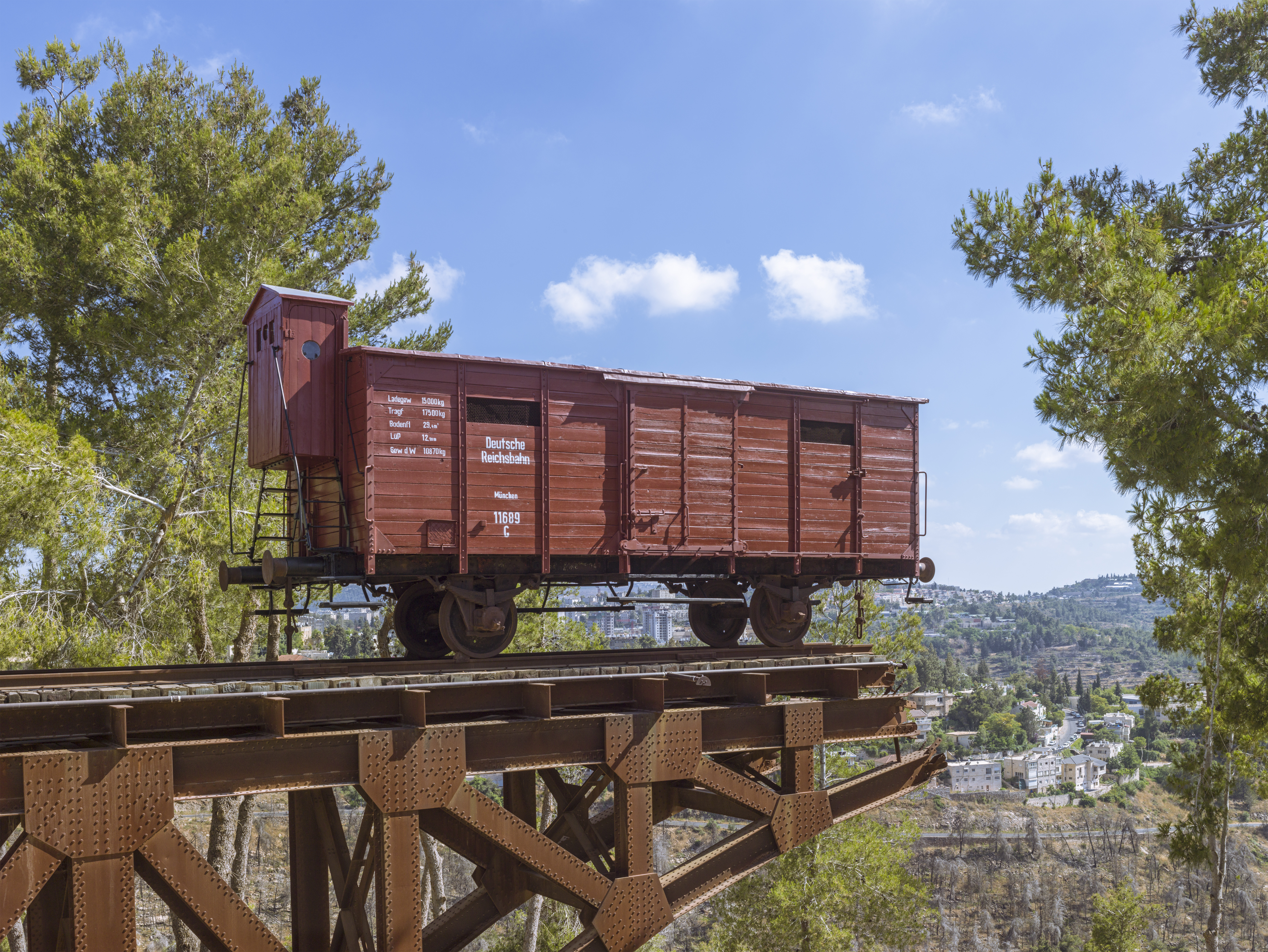
Yad Vashem (; ) is Israel's official memorial institution to the victims of Holocaust, the Holocaust known in Hebrew language, Hebrew as the (). It is dedicated to preserving the memory of the Jews who were murdered; echoing the stories of the survivors; honoring Jews who fought against their Nazi oppressors and gentiles who selflessly aided Jews in need; and researching the phenomenon of the Holocaust in particular and genocide in general, with the aim of avoiding such events in the future. Yad Vashem's vision, as stated on its website, is: "To lead the documentation, research, education and commemoration of the Holocaust, and to convey the chronicles of this singular Jewish and human event to every person in Israel, to the Jewish people, and to every significant and relevant audience worldwide." Established in 1953, Yad Vashem is located on the Mount of Remembrance, on the western slope of Mount Herzl, a height in western Jerusalem, Above mean sea level, above sea level and ... [...More Info...] [...Related Items...] OR: [Wikipedia] [Google] [Baidu] |
Dani Dayan
Dani Dayan (; born 29 November 1955) is an Argentine-born Israeli diplomat and entrepreneur. He is chairman of Yad Vashem. Biography Daniel (Dani) Dayan was born in Buenos Aires, Argentina. He and his family immigrated to Israel in 1971, when he was 15, settling in the Tel Aviv neighborhood of Yad Eliyahu. Dayan spent 7.5 years in the Israeli Army. Dayan holds a B.Sc. in Economics and Computer Science from Bar Ilan University, and an M.Sc. in Finance from the Tel Aviv University. He is a Major (Res.) in the Israel Defense Forces. He lives in Ma'ale Shomron. Dayan is married to Einat Dayan, a former political activist who worked as the director of strategy, marketing, and sales at Ariel University. Their daughter Ofir served in the IDF Spokesperson's Unit, studied at Columbia University and is a research assistant in the Diane and Guilford Glazer Israel-China Policy Center at the Israeli Institute for National Security Studies. His father, Moshe, a second cousin of General Mos ... [...More Info...] [...Related Items...] OR: [Wikipedia] [Google] [Baidu] |
Terrace (earthworks)
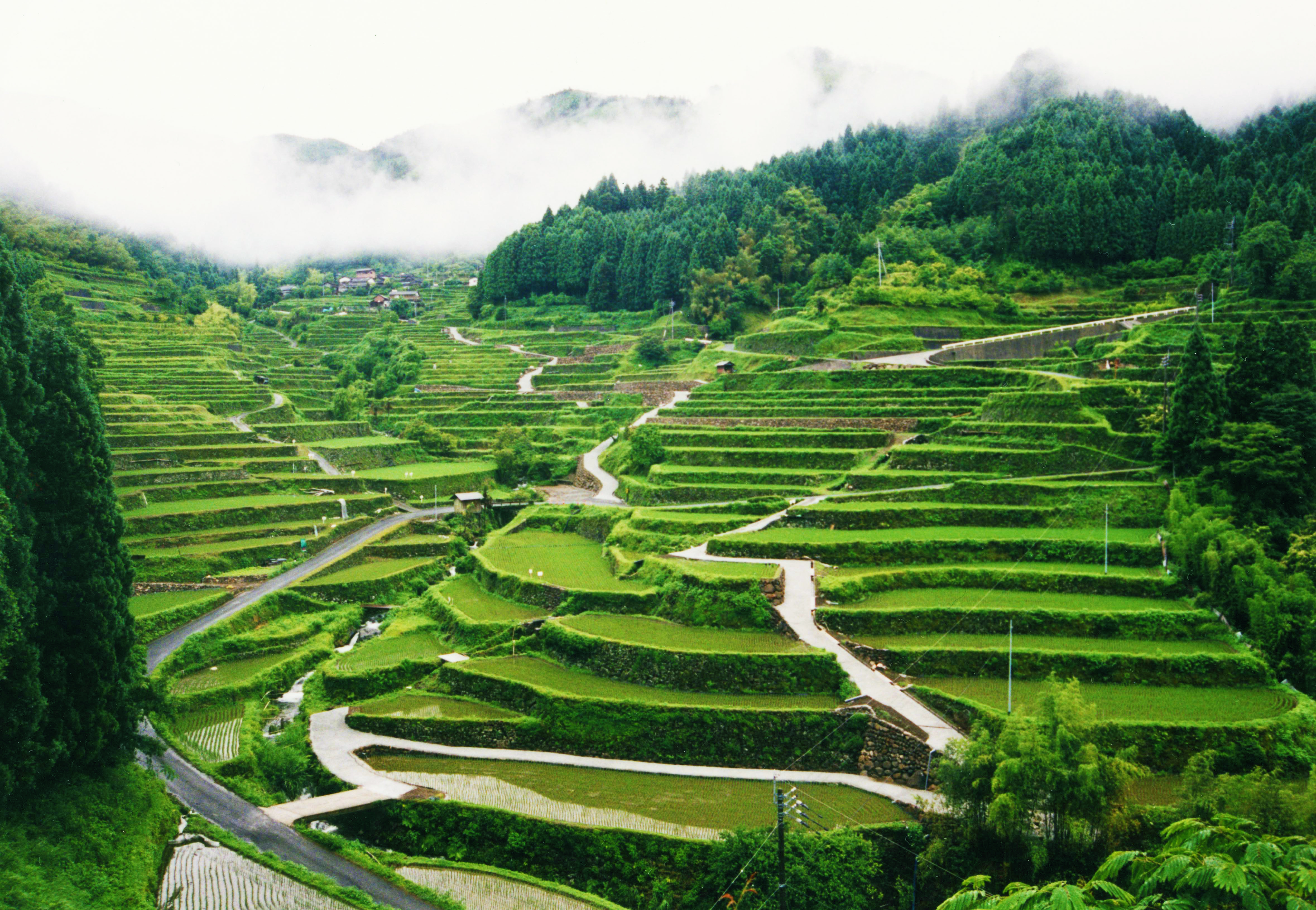
A terrace in agriculture is a flat surface that has been cut into hills or mountains to provide areas for the cultivation for crops, as a method of more effective farming. Terrace agriculture or cultivation is when these platforms are created successively down the terrain in a pattern that resembles the steps of a staircase. As a type of landscaping, it is called terracing. Terraced fields decrease both erosion and surface runoff, and may be used to support growing crops that require irrigation, such as rice. The Rice Terraces of the Philippine Cordilleras have been designated as a UNESCO World Heritage Site because of the significance of this technique. Uses Terraced paddy fields are used widely in rice, wheat and barley farming in east, south, southwest, and southeast Asia, as well as the Mediterranean Basin, Africa, and South America. Drier-climate terrace farming is common throughout the Mediterranean Basin, where they are used for vineyards, olive trees, cork oak, ... [...More Info...] [...Related Items...] OR: [Wikipedia] [Google] [Baidu] |
Quarry
A quarry is a type of open-pit mining, open-pit mine in which dimension stone, rock (geology), rock, construction aggregate, riprap, sand, gravel, or slate is excavated from the ground. The operation of quarries is regulated in some jurisdictions to manage their safety risks and reduce their environmental impact. The word ''quarry'' can also include the underground quarrying for stone, such as Bath stone. History For thousands of years, only hand tools had been used in quarries. In the eighteenth century, the use of drilling and blasting operations was mastered. Types of rock Types of rock extracted from quarries include: *Chalk *China clay *Scoria, Cinder *Clay *Coal *Construction aggregate (sand and gravel) *Coquina *Diabase *Gabbro *Granite *Gritstone *Gypsum *Limestone *Marble *Ores *Phosphate rock *Quartz *Sandstone *Slate *Travertine Methods of quarrying The method of removal of stones from their natural bed by using different operations is called quarryin ... [...More Info...] [...Related Items...] OR: [Wikipedia] [Google] [Baidu] |
Watering Hole
A watering hole or waterhole is a geological depression in which a body of water forms, usually a pond or a small lake. A watering hole is "a sunken area of land that fills with water". Watering holes may be ephemeral or seasonal. Ephemeral rivers sometimes form waterholes in geological depressions or areas scoured by erosion, and are common in arid regions of Australia. In Australia, the term " billabong", often defined as a type of oxbow lake (an isolated crescentic pond left behind after a river loop is cut off when the river channel changes course), is also used to refer to other types of waterholes. While they exist in both wetlands and arid lands, they are of particular importance in desert areas of Australia, where they are often the only water source for native animals, people, and livestock, and provide critical habitat for a number of wildlife species. Their existence is being threatened by climate change. Desert waterholes are often found in dry hilly areas, sust ... [...More Info...] [...Related Items...] OR: [Wikipedia] [Google] [Baidu] |
Winepress
A winepress is a device used to extract juice from crushed grapes during winemaking. There are a number of different styles of presses that are used by wine makers but their overall functionality is the same. Each style of press exerts controlled pressure in order to free the juice from the fruit (most often grapes). The pressure must be controlled, especially with grapes, in order to avoid crushing the seeds and releasing a great deal of undesirable tannins into the wine. Wine was being made at least as long ago as 4000 BC; in 2011, a winepress was unearthed in Armenia with red wine dated 6,000 years old. Press types Basket A basket press consists of a large basket filled with the crushed grapes. Pressure is applied through a plate that is forced down onto the fruit. The mechanism to lower the plate is often either a screw or a hydraulic device. The juice flows through openings in the basket. The basket style press was the first type of mechanized press to be developed, and i ... [...More Info...] [...Related Items...] OR: [Wikipedia] [Google] [Baidu] |
Olive Oil Extraction
Olive oil extraction is the process of extracting the olive oil present in olive drupes. Olive oil is produced in the mesocarp cells, and stored in a particular type of vacuole called a lipo vacuole, i.e., every cell contains a tiny olive oil droplet. Olive oil extraction is the process of separating the oil from the other fruit contents (vegetative extract liquid and solid material). It is possible to attain this separation by physical means alone, i.e., oil and water do not mix, so they are relatively easy to separate. This contrasts with other oils that are extracted with chemical solvents, generally hexane. The first operation when extracting olive oil is washing the olives, to reduce the presence of contaminants, especially soil which can create a particular flavor effect called "soil taste". Olive presses People have used olive presses since Greeks first began pressing olives over 5,000 years ago. Roman olive presses survive to the present time, wit ... [...More Info...] [...Related Items...] OR: [Wikipedia] [Google] [Baidu] |
Four-room House
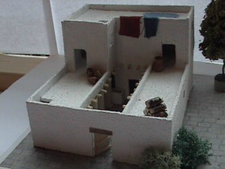
A four-room house, also known as an "Israelite house" or a "pillared house" is the name given to the mud and stone houses characteristic of the Iron Age of Levant. The four-room house is so named because its floor plan is divided into four sections, although not all four are proper rooms, one often being an unroofed courtyard. It is also sometimes called a pillared house because two—or all three—of the parallel ground-level "rooms" are separated by one—or two, respectively—rows of wooden pillars. The pillars, however, are not the defining feature of the four-room house, and this error of terminology leads to the confusion of four-room houses with other buildings, such as storehouses and stables, where pillars were widely used, but which were not constructed under the four-room house layout. When an upper floor was included, the inhabitants used it as living quarters, while the ground floor was used as a stable for livestock and for storage. There were multiple variation ... [...More Info...] [...Related Items...] OR: [Wikipedia] [Google] [Baidu] |
Rescue Archaeology
Rescue archaeology, sometimes called commercial archaeology, preventive archaeology, salvage archaeology, contract archaeology, developer-funded archaeology, or compliance archaeology, is state-sanctioned, archaeological survey and excavation carried out as part of the planning process in advance of construction or other land development. In Western Europe, excavation is the final stage in a sequence of activities that start with desk-based assessments of the archaeological potential through exploratory fieldwork: monument surveys, test pitting, shovel pitting, evaluations, and so forth. Other, less common causes for salvage digs can be looting and illegal construction. Conditions leading to rescue archaeology could include, but are not limited to, road and other major construction, the floodplain of a proposed dam, or even before the onset of war. Unlike traditional survey and excavation, rescue archaeology must be undertaken at speed. Rescue archaeology is included in the br ... [...More Info...] [...Related Items...] OR: [Wikipedia] [Google] [Baidu] |
Iron Age
The Iron Age () is the final epoch of the three historical Metal Ages, after the Chalcolithic and Bronze Age. It has also been considered as the final age of the three-age division starting with prehistory (before recorded history) and progressing to protohistory (before written history). In this usage, it is preceded by the Stone Age (subdivided into the Paleolithic, Mesolithic and Neolithic) and Bronze Age. These concepts originated for describing Iron Age Europe and the ancient Near East. In the archaeology of the Americas, a five-period system is conventionally used instead; indigenous cultures there did not develop an iron economy in the pre-Columbian era, though some did work copper and bronze. Indigenous metalworking arrived in Australia with European contact. Although meteoric iron has been used for millennia in many regions, the beginning of the Iron Age is defined locally around the world by archaeological convention when the production of Smelting, smelted iron (espe ... [...More Info...] [...Related Items...] OR: [Wikipedia] [Google] [Baidu] |


