|
Lucerne Valley
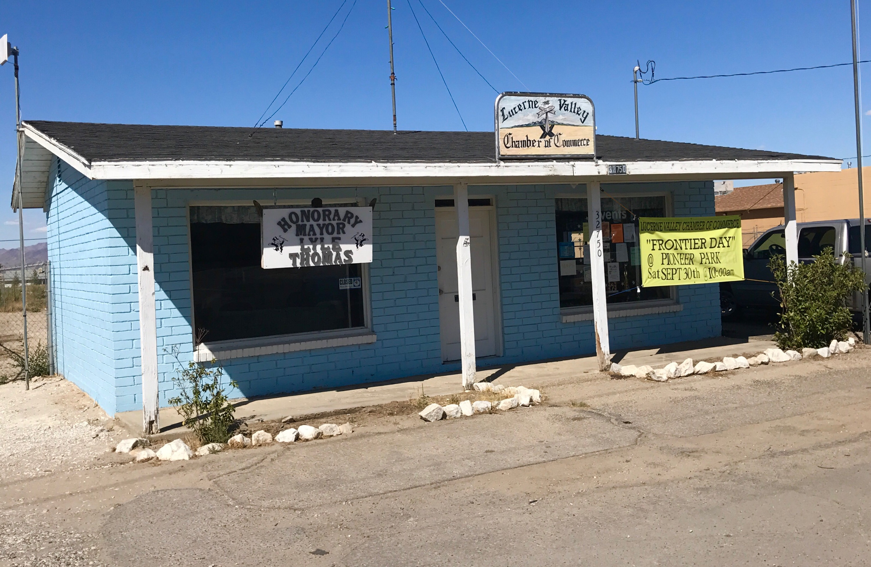
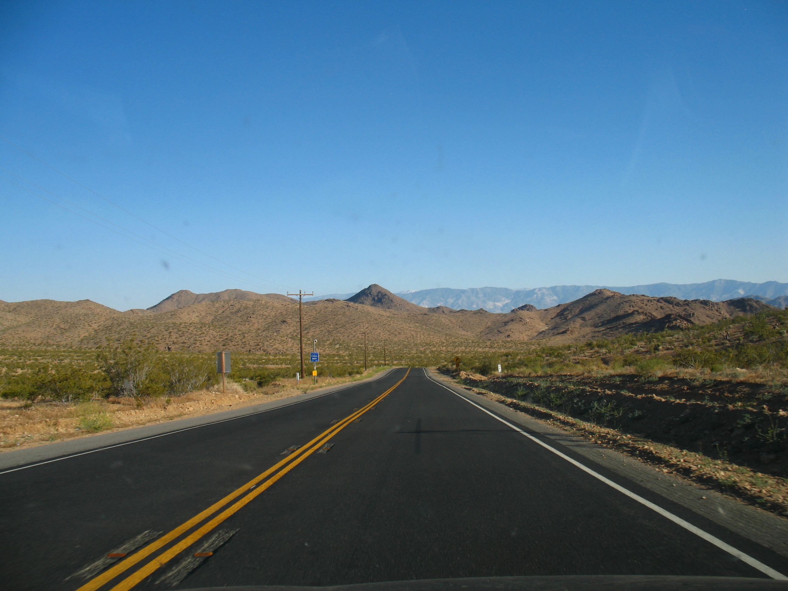
Lucerne Valley is a census-designated place (CDP) and valley landform in the southern Mojave Desert, in western San Bernardino County, California. Geography The geographic valley is defined by the surrounding Granite Mountains, Ord Mountains, and San Bernardino Mountains. Lucerne Valley lies east of the Victor Valley, whose population nexus includes Victorville, Apple Valley, Adelanto and Hesperia. It is east of Apple Valley, and north of Big Bear Lake. Distant surrounding communities include Yucca Valley which lies east via State Route 247/Old Woman Springs Road, and Barstow, which is north via State Route 247/Barstow Road. The transportation nexus of Lucerne Valley is where State Route 247 and State Route 18 are connected by Old Woman Springs and Barstow Roads. The two highways do not have a direct junction. In San Bernardino County, Lucerne Valley's area is also identified as County Service Area (CSA) 29. While Lucerne Valley's "town limit" signs are within two ... [...More Info...] [...Related Items...] OR: [Wikipedia] [Google] [Baidu] |
Granite Mountains (western San Bernardino County, California)
The Granite Mountains is a mountain range in San Bernardino County, California, United States. It lies east of Victorville, California, Victorville and Apple Valley, California, Apple Valley, west of Lucerne Valley, California, Lucerne Valley. It is one of three mountain ranges in the Mojave Desert to share this name. The range is as much as wide, north-south, and about long from the southwest edge of Fairview Valley to eastern base of Strawberry Peak.United States Geological Survey, 1959, ''San Bernardino Western United States, NI 11-5, 1:25,000'', scale 1:250000 scale.Bortugno, E.J., and Spittler, T.E., 1986''Geologic map or the San Bernardino quadrande California.''''Regional Geologic Map,'' RGM-3A, Sacremento, California Division of Mines and Geology, scale 1:250,000.United States Geological Survey, 1971, ''Lucerne Valley Quadrangle California-San Bernardino CO. 7.5 Minute Series (Topographic)'', scale 1:24000 scale Geography The highest elevation in the Granite Mountains is ... [...More Info...] [...Related Items...] OR: [Wikipedia] [Google] [Baidu] |
Johnson Valley, California
__NOTOC__ Johnson Valley is a small unincorporated community in San Bernardino County in Southern California between Victor Valley and Morongo Basin areas of the High Desert region of California. It is north of Highway 247 in the Mojave Desert, and north by northwest of Yucca Valley. It is bordered by the San Bernardino Mountains to the south, Lucerne Valley Lucerne Valley is a census-designated place (CDP) and valley landform in the southern Mojave Desert, in western San Bernardino County, California. Geography The geographic valley is defined by the surrounding Granite Mountains, Ord Mountains ... to the west, and Landers to the east. Geographically, Johnson Valley is the eastern portion of Lucerne Valley (referring to the geographical valley formation rather than the unincorporated town), opening up to the Homestead Valley in the southeast to the communities of Flamingo Heights, Landers, and Yucca Valley. Population Defined as a ZCTA (ZIP-Code Tabulation Area, 9 ... [...More Info...] [...Related Items...] OR: [Wikipedia] [Google] [Baidu] |
California State Route 18
State Route 18 (SR 18) is a state highway in the U.S. state of California. It serves as a primary route into the San Bernardino Mountains, both from the Riverside–San Bernardino metropolitan area from the south and the Mojave Desert from the north. SR 18 runs from State Route 210 in San Bernardino to State Route 138 in Llano. It has two discontinuities: one in Big Bear Lake, the other in Victorville. Route description The constructed portion of Route 18 begins at State Route 210 and quickly enters the San Bernardino Mountains as a four-lane expressway. SR 18 is known as Waterman Avenue in the city of San Bernardino before turning into SR 18. The route climbs north at a gentle grade until it turns east, where it begins to offer panoramic views of San Bernardino. Hence, this portion of Route 18 is known as the Rim of the World Highway. After meeting State Route 138 at Mount Andreson Junction south of Crestline, the expressway reverts to a two-lane mountain road. It me ... [...More Info...] [...Related Items...] OR: [Wikipedia] [Google] [Baidu] |
California State Route 247
State Route 247 (SR 247) is a state highway in the U.S. state of California. The road passes through the Mojave Desert in San Bernardino County, connecting SR 62 in Yucca Valley to Interstate 15 (I-15) in Barstow. SR 247 runs along Old Woman Springs Road between Yucca Valley to Lucerne Valley, and Barstow Road between Lucerne Valley and Barstow. SR 247 was designated by the California State Legislature in 1969; the county roads along that route were given to the state in 1972. Route description SR 247 begins at a junction with SR 62 in the town of Yucca Valley, where it is signed as Old Woman Springs Road. From Yucca Valley, the two-lane highway heads northwestward through desert, much of it through Johnson Valley, briefly passing through Flamingo Heights and the western tip of Landers. In the town of Lucerne Valley, SR 18 and SR 247 do not actually intersect, but the highways are less than apart, connected by the continuation of Old Woman Springs Road to extend SR 18 ... [...More Info...] [...Related Items...] OR: [Wikipedia] [Google] [Baidu] |
Barstow, California
Barstow is a city in San Bernardino County, California, in the Mojave Desert of Southern California. Located in the Inland Empire region of California, the population was 25,415 at the 2020 United States census, 2020 census. Barstow is an important crossroads for the Inland Empire and home to Marine Corps Logistics Base Barstow. History Prehistoric Native American tribes inhabited the region as long as 3,000 years ago. The Native Americans hunted, fished and gathered turquoise. The indigenous people left hardly any discernible footprints along faint pathways as they traveled up to the Mexican territory to trade goods. The written history of the Mojave Valley dates back to the 1700s and the missionary excursions of Spanish Franciscan friar Francisco Garcés. Garcés followed the earliest faint footpaths to the Mojave River Valley and from there across the desert around Barstow on his way to Spanish missions beyond the mountains of California. The settlement of Barstow began i ... [...More Info...] [...Related Items...] OR: [Wikipedia] [Google] [Baidu] |
Yucca Valley, California
Yucca Valley is an List of municipalities in California, incorporated town in San Bernardino County, California, United States. The population was 21,738 as of the 2020 United States census, 2020 census. Yucca Valley lies north of Palm Springs, California, Palm Springs, and east of San Bernardino, California, San Bernardino. Bordered to the south by the Joshua Tree National Park and to the west by the San Bernardino Mountains, the town of Yucca Valley is located in the Mojave Desert at roughly above sea level. History Native Americans inhabited the area. Norman J. Essig was key in the late 1950s in working towards establishing Yucca Valley as a place for entertainment celebrities to come and live in privacy. He personally acquired hundreds of acres of land during this time and owned and ran Glenn Realty. He helped to put in the main roads that are running throughout the town off of Hwy 62. He was personal friends with Jimmy Van Heusen the composer and gave him prime real est ... [...More Info...] [...Related Items...] OR: [Wikipedia] [Google] [Baidu] |
Big Bear Lake
Big Bear Lake is a reservoir in the Western United States, western United States, located in the San Bernardino Mountains in San Bernardino County, California, San Bernardino County, California. It is a snow and rain-fed lake, having no other means of tributaries or mechanical replenishment. At a surface elevation of above sea level, it has an east–west length of approximately and is approximately at its widest measurement, though the lake's width mostly averages a little more than . These approximations are based on the lake having an optimum retainable water level. At dam's end, Big Bear measures its deepest water at . History The region has been the ancestral home of the indigenous Serrano people for approximately 2,500 years. They referred to the territory as "Yuhaviat" which translates into "Pine Place". They inhabited small villages of 10 to 30 round buildings located along fresh water sources and subsisted on berries, nuts, tubers, acorns, and plentiful g ... [...More Info...] [...Related Items...] OR: [Wikipedia] [Google] [Baidu] |
Hesperia, California
Hesperia () is a city in San Bernardino County, California, United States. It is located north of downtown San Bernardino in Victor Valley and surrounded by the Mojave Desert. Because of its relatively high elevation and the unique and moderate weather patterns of the region, Hesperia is part of what is locally called the High Desert (California), High Desert. The name "Hesperia" means "western land". At the 2020 census, the city had a population of 99,818. History The first inhabitants of the area were the Serrano people, Desert Serrano (Vanyume). The village of Wá’peat, among several other villages that were located along the Mojave River, were within the vicinity of what is now Hesperia. These villages were occupied into the early 1800s and had deep ties with one another. An acorn-gathering festival was held at Wá’peat that involved villagers from across the Mojave River area. Hesperia began as a Spanish land grant: ''Rancho San Felipe, Las Flores y el Paso del Cajon' ... [...More Info...] [...Related Items...] OR: [Wikipedia] [Google] [Baidu] |
Adelanto, California
Adelanto (Spanish for "Advance") is a city in San Bernardino County, California, United States. It is approximately northwest of Victorville in the Victor Valley area of the Mojave Desert, in the northern region of the Inland Empire.Linthicum, Kate;Los Angeles Times.com: "Small town with several detention centers debates if it needs another" November 18, 2014. The population was 38,046 at the 2020 census. History The area was originally inhabited by the Serrano Native American tribe. Adelanto was founded in 1915 by E. H. Richardson, the inventor of what became the Hotpoint electric iron. He sold his patent and purchased land for $75,000. He had planned to develop one of the first planned communities in Southern California. The name ''Adelanto'' means 'progress' or 'advance' in Spanish, and was first given to the post office that was established on the site in 1917. Acres of deciduous fruit trees once grew in the city, which became known in the state for its fresh fruit an ... [...More Info...] [...Related Items...] OR: [Wikipedia] [Google] [Baidu] |
Apple Valley, California
Apple Valley is an incorporated town in the Victor Valley of San Bernardino County, California, United States. Its population was 75,791 as of the 2020 United States census. The town is east of and adjoining to the neighboring cities of Victorville and Hesperia, south of Barstow, and north of San Bernardino through the Cajon Pass. It was incorporated on November 14, 1988, and is one of the 22 incorporated municipalities in California that use "town" in their names instead of "city". History For centuries, Apple Valley was populated by Shoshonean, Paiute, Vanyume, Chemehuevi, and Serrano who were attracted to the water and vegetation around the Mojave River. The Mojave people came later and were the tribal group encountered in 1542 by a detachment of Coronado's men. These were the first Spanish to come to the Mojave desert. Pedro Fages came through the area in 1772, looking for deserters. Father Francisco Garcés spent time in the area in 1776. He was on good terms w ... [...More Info...] [...Related Items...] OR: [Wikipedia] [Google] [Baidu] |


