|
Long Sault Parkway
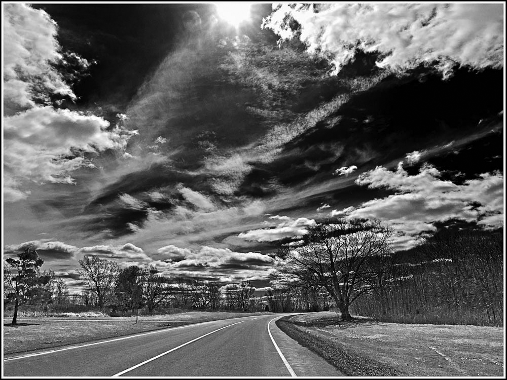
The Long Sault Parkway is a group of eleven islands west of Cornwall in the Canadian province of Ontario, as well as the name of the scenic parkway connecting them. The islands, which include two public beaches and three campgrounds, were created by the flooding of the Long Sault rapids during construction of the St. Lawrence Seaway. The parkway, the islands, and their amenities are maintained by the St. Lawrence Parks Commission. The parkway is located between the towns of Ingleside and Long Sault in the municipality of South Stormont, and connects with County Road2 (former Highway 2) at both ends. Ingleside and Long Sault were created concurrently with the parkway to rehouse the residents of farms and communities that now lie below the surface of the St. Lawrence River as the result of the construction of the Moses-Saunders Power Dam. Beginning on July1, 1958, and proceeding for nearly a week, of land between Iroquois and Cornwall were flooded; forming an island chai ... [...More Info...] [...Related Items...] OR: [Wikipedia] [Google] [Baidu] |
Cornwall, Ontario
Cornwall is a city in Eastern Ontario, Canada, situated where the provinces of Ontario and Quebec and the state of New York converge. It is the seat of the United Counties of Stormont, Dundas, and Glengarry and is Ontario's easternmost city. Cornwall is named after the English Duchy of Cornwall; the city's coat of arms is based on that of the duchy with its colours reversed and the addition of a "royal tressure", a Scottish symbol of royalty. It is the urban centre for the surrounding communities of Long Sault and Ingleside to the west; the Mohawk Territory of Akwesasne to the south; St. Andrews West and Avonmore to the north; and Glen Walter, Martintown, Apple Hill, Williamstown, and Lancaster to the east. The city straddles the St. Lawrence River and is home to the St. Lawrence Seaway Management Corporation, which oversees navigation and shipping activities for the St. Lawrence Seaway. Cornwall is centrally located between the capital city of Ottawa and Montreal, Canada's ... [...More Info...] [...Related Items...] OR: [Wikipedia] [Google] [Baidu] |
Forebay (reservoir)
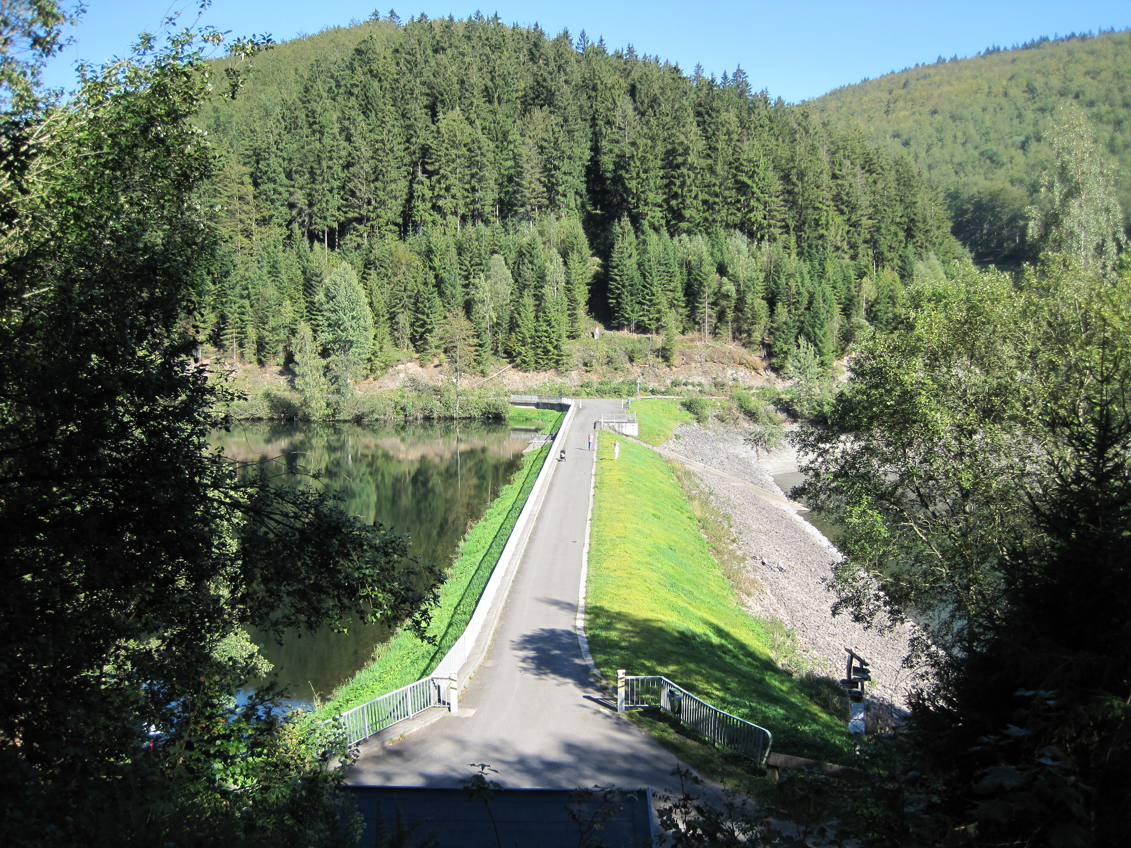
A forebay is an artificial pool of water in front of a larger body of water. The larger body of water may be natural or man-made. at www.wisegeek.com. Retrieved on 13 Jun 2013 Forebays have a number of functions. They are used in to act as a buffer during or s, impounding water and releasing in a controlled way into the larger waterbody. They may be used upstream of |
The Lost Villages
The Lost Villages were ten communities (nine conventional villages and a populated island) in the Canadian province of Ontario, in the former townships of Cornwall and Osnabruck (now South Stormont) near Cornwall, which were permanently submerged by the creation of the Saint Lawrence Seaway in 1958."The Lost Villages" . '' Ottawa Citizen'', 28 June 2008. The flooding was expected and planned for as the result of the Moses-Saunders Power Dam construction, which began in August 1954. In the weeks and months leading up to the inundation, families and businesses in the affected c ... [...More Info...] [...Related Items...] OR: [Wikipedia] [Google] [Baidu] |
Alexander Macdonell (bishop Of Kingston)
Bishop Alexander Macdonell (17 July 1762 – 14 January 1840) was the first Roman Catholic bishop of Kingston, Upper Canada. He was born in Glen Urquhart, Inchlaggan, Scotland and served a chaplain with the Glengarry Fencibles during the Irish Rebellion of 1798. His presence insured that the regiment "distinguished itself by its humanity". When the regiment was demobilized, most of the soldiers found themselves unemployed and destitute. He led them to Canada, where they received a grant of land for their service. When Macdonell arrived in 1804, he found three priests and three churches in Upper Canada. By his energy and perseverance he induced a considerable immigration to the province, and left at his death forty-eight churches attended by thirty priests, plus a seminary and a college. Early years Alexander Macdonell was born 17 July 1760/62 at his father's house in Glen Urquhart. His early education was at the illegal and underground minor seminary at Buorblach, near Mora ... [...More Info...] [...Related Items...] OR: [Wikipedia] [Google] [Baidu] |
Lock (water Navigation)
A lock is a device used for raising and lowering boats, ships and other watercraft between stretches of water of different levels on river and canal waterways. The distinguishing feature of a lock is a fixed chamber in which the water level can be varied; whereas in a caisson lock, a boat lift, or on a canal inclined plane, it is the chamber itself (usually then called a caisson) that rises and falls. Locks are used to make a river more easily navigable, or to allow a canal to cross land that is not level. Later canals used more and larger locks to allow a more direct route to be taken. Pound lock A ''pound lock'' is most commonly used on canals and rivers today. A pound lock has a chamber with gates at both ends that control the level of water in the pound. In contrast, an earlier design with a single gate was known as a flash lock. Pound locks were first used in China during the Song Dynasty (960–1279 AD), having been pioneered by the Song politician and naval ... [...More Info...] [...Related Items...] OR: [Wikipedia] [Google] [Baidu] |
Cornwall Canal
The Cornwall Canal was built by the British government of Canada to bypass a troublesome rapids hindering navigation on the St. Lawrence at Cornwall, Ontario. Construction began in 1834 and was completed in 1843. Ontario Heritage Trust Founding of Cornwall Description The canal extended past the Long Sault rapids from Cornwall, Ontario, to Dickinson's Landing. From the head of the Soulanges Canal to the foot of the canal, there is a stretch of the river through Lake St. Francis of 32¾ miles. The length of the canal was eleven miles. It had six locks that were 270 by 45 feet. The total rise or lockage was 48 feet. The depth of water on the sill was 14 feet. It was 100 feet wide at the bottom and 164 at water surface. It closed in 1968, after becoming obsolete and functionally replaced by the St. Lawrence Seaway and its Wiley-Dondero Canal on the US side of the river. Most was subsequently filled in, helping to create Lamoureux Park. A section still remains as a long body of wat ... [...More Info...] [...Related Items...] OR: [Wikipedia] [Google] [Baidu] |
Philip VanKoughnet
Colonel The Hon. Philip VanKoughnet (April 2, 1790 – May 7, 1873) M.P., landowner, businessman and political figure in Upper Canada. Career Born in New Johnstown (Cornwall), 2 April 1790, he was the son of Michael VanKoughnet (1751–1832), 'a large landowner' and United Empire Loyalist. He was educated at the elitist school run by John Strachan which automatically placed him among the Family Compact. He fought at the Battle of Crysler's Farm during the War of 1812. In 1816, he was elected to the 7th Parliament of Upper Canada representing Stormont & Russell. In 1833, he was part of a commission to establish a canal at Cornwall to improve transportation along the Saint Lawrence River, that brought him a personal profit of £10,000. VanKoughnet Island, off the canal, was named for him. In 1832, Philip VanKoughnet inherited his father's extensive lands in Upper Canada (which he bought in 1783 after the Americans had put a price on his head for his loyalty to the Crown ... [...More Info...] [...Related Items...] OR: [Wikipedia] [Google] [Baidu] |
Frederick Heriot
Frederick George Heriot (11 January 1786 – 30 December 1843) was a British army officer, who fought in the War of 1812 and subsequently became a landowner and administrator in Canada. Biography Of mixed Scotland, Scottish and Ireland, Irish ancestry, he was born in the Channel Islands, the son of an army surgeon. He entered the army in 1801 as Ensign (rank), Ensign in the The Royal Berkshire Regiment (Princess Charlotte of Wales's), 49th Regiment of Foot (whose commanding officer was the then Lieutenant Colonel Isaac Brock). Heriot went with the 49th to Canada the following year, and served there for the remainder of his military career. When war broke out with the United States, he was appointed second in command of the Canadian Voltigeurs with the acting rank of Major. He commanded a detachment of Voltigeurs at Kingston, Ontario during 1813 and was present at the Battle of Sackett's Harbor and the Battle of Crysler's Farm, where he played a prominent part. The following ... [...More Info...] [...Related Items...] OR: [Wikipedia] [Google] [Baidu] |
Dickinson's Landing, Ontario
Dickinson's Landing is an underwater ghost town in the Canadian province of Ontario. It is one of Ontario's Lost Villages, which were permanently flooded by the creation of the St. Lawrence Seaway in 1958. Families and businesses in Dickinson's Landing were moved to the new town of Ingleside before the seaway construction commenced. History In approximately 1669, Dickinson's Landing was founded by French explorer La Salle as a trading post at the rapids that were known as ''Long Sault''. There was a natural formation of a long low shelf of land at the water's edge that facilitated mooring of watercraft. Later, during the days of the stagecoach, the small hamlet provided a place where weary travelers could stop and rest, whether they arrived by land or river. In 1860, the Prince of Wales, Albert Edward visited Dickinson's Landing, stopped at the train station and took a ride over Long Sault rapids in a steam. Albert Edward would later become King Edward VII. As the then prince ... [...More Info...] [...Related Items...] OR: [Wikipedia] [Google] [Baidu] |
Highway 2 Long Sault Parkway
A highway is any public or private road or other public way on land. It is used for major roads, but also includes other public roads and public tracks. In some areas of the United States, it is used as an equivalent term to controlled-access highway, or a translation for ''autobahn'', '' autoroute'', etc. According to Merriam Webster, the use of the term predates the 12th century. According to Etymonline, "high" is in the sense of "main". In North American and Australian English, major roads such as controlled-access highways or arterial roads are often state highways (Canada: provincial highways). Other roads may be designated "county highways" in the US and Ontario. These classifications refer to the level of government (state, provincial, county) that maintains the roadway. In British English, "highway" is primarily a legal term. Everyday use normally implies roads, while the legal use covers any route or path with a public right of access, including footpaths etc. The ... [...More Info...] [...Related Items...] OR: [Wikipedia] [Google] [Baidu] |
Slipway
A slipway, also known as boat ramp or launch or boat deployer, is a ramp on the shore by which ships or boats can be moved to and from the water. They are used for building and repairing ships and boats, and for launching and retrieving small boats on trailers towed by automobiles and flying boats on their undercarriage. The nautical terms ways and skids are alternative names for slipway. A ship undergoing construction in a shipyard is said to be ''on the ways''. If a ship is scrapped there, she is said to be ''broken up in the ways''. As the word "slip" implies, the ships or boats are moved over the ramp, by way of crane or fork lift. Prior to the move the vessel's hull is coated with grease, which then allows the ship or boat to "slip" off of the ramp and progress safely into the water. Slipways are used to launch (newly built) large ships, but can only dry-dock or repair smaller ships. Pulling large ships against the greased ramp would require too much force. There ... [...More Info...] [...Related Items...] OR: [Wikipedia] [Google] [Baidu] |
Educational Trail
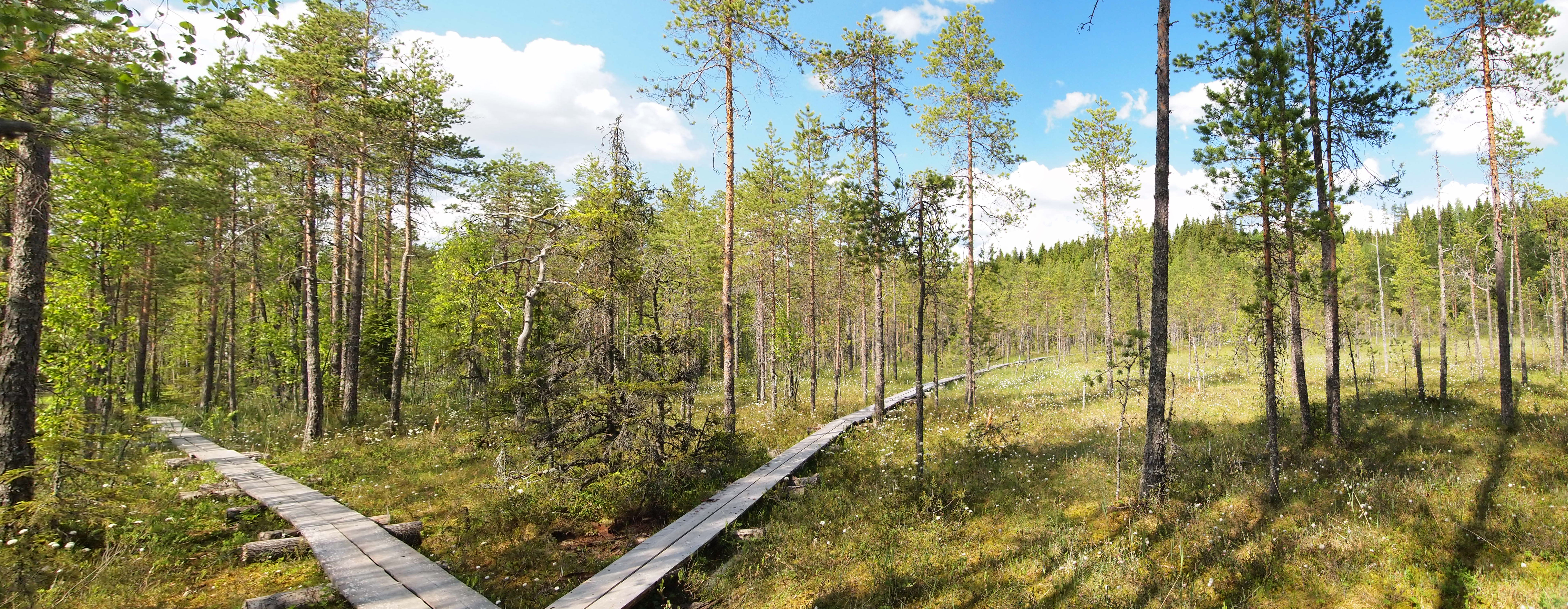
An educational trail (or sometimes educational path), nature trail or nature walk is a specially developed hiking trail or footpath that runs through the countryside, along which there are marked stations or stops next to points of natural, technological or cultural interest. These may convey information about, for example, flora and fauna, soil science, geology, mining, ecology or cultural history. Longer trails, that link more widely spaced natural phenomena or structures together, may be referred to as themed trails or paths. In order to give a clearer explanation of the objects located at each station, display boards or other exhibits are usually erected, in keeping with the purpose of the trail. These may include: information boards, photographs and pictures, maps or plans, display cases and models, slides, sound or multimedia devices, facilities to enable experimentation and so on. The routes are regularly maintained. Educational trails with a strong thematic content may ... [...More Info...] [...Related Items...] OR: [Wikipedia] [Google] [Baidu] |


.jpg)

