|
Long Point National Wildlife Area
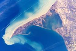
The Long Point National Wildlife Area ( french: ''Réserve nationale de faune de Long Point'') is a Protected area of Canada and one of ten National Wildlife Areas in Ontario. It is the core area of the Long Point Biosphere Reserve, created in 1986, and has been recognized as a Ramsar site since 1982. This protected area is located on a barrier island jutting out into Lake Erie. It comprises a complex system of dunes, wetlands, and marshes offering numerous habitats for flora and fauna. It is home to no less than 47 species of mammals, 331 birds, 34 reptiles and amphibians, and 60 fish, plus no less than 660 species of vascular plants. The area was once part of the Neutral and Mississaugas hunting grounds before being settled in the early nineteenth century. In 1866, the ''Long Point Company'' acquired most of the land on the peninsula, ensuring its ecological integrity. Since 1980, the area has been managed as a National Wildlife Area by the Canadian Wildlife Service ... [...More Info...] [...Related Items...] OR: [Wikipedia] [Google] [Baidu] |
National Wildlife Area
A National Wildlife Area is a conservation designation for a geographical region in Canada that restricts most human activities on that region. However, land use permits may be issued "for activities that are compatible with conservation". Such areas are established and managed by the Canadian Wildlife Service, a division of Environment and Climate Change Canada. They may consist of land and water features, as well as coastal areas extending up to from shore. The largest national wildlife area is the Scott Islands Marine National Wildlife Area in British Columbia, which covers an area of . Protections Each National Wildlife Area involves a management plan which specifies activities which are generally allowed within the protected area, as well as activities requiring permits. Under the Wildlife Area Regulations, traditional, personal and recreational activities such as hunting, fishing, or canoeing are allowed, whereas resource extraction or livestock grazing would be permit ... [...More Info...] [...Related Items...] OR: [Wikipedia] [Google] [Baidu] |
Bird
Birds are a group of warm-blooded vertebrates constituting the class Aves (), characterised by feathers, toothless beaked jaws, the laying of hard-shelled eggs, a high metabolic rate, a four-chambered heart, and a strong yet lightweight skeleton. Birds live worldwide and range in size from the bee hummingbird to the ostrich. There are about ten thousand living species, more than half of which are passerine, or "perching" birds. Birds have whose development varies according to species; the only known groups without wings are the extinct moa and elephant birds. Wings, which are modified forelimbs, gave birds the ability to fly, although further evolution has led to the loss of flight in some birds, including ratites, penguins, and diverse endemic island species. The digestive and respiratory systems of birds are also uniquely adapted for flight. Some bird species of aquatic environments, particularly seabirds and some waterbirds, have further evolved for swimm ... [...More Info...] [...Related Items...] OR: [Wikipedia] [Google] [Baidu] |
Point Pelee National Park
Point Pelee National Park (; french: Parc national de la Pointe-Pelée) is a national park in Essex County in southwestern Ontario, Canada where it extends into Lake Erie. The word is French for 'bald'. Point Pelee consists of a peninsula of land, mainly of marsh and woodland habitats, that tapers to a sharp point as it extends into Lake Erie. Middle Island, also part of Point Pelee National Park, was acquired in 2000 and is just north of the Canada–United States border in Lake Erie. Point Pelee is the southernmost point of mainland Canada, and is located on a foundation of glacial sand, silt and gravel that bites into Lake Erie. This spit of land is slightly more than seven kilometres long by wide at its northern base. Established in 1918, Point Pelee was the first national park in Canada to be established for conservation. It was designated as a Ramsar site on 27 May 1987. History Aboriginal people lived on Point Pelee for many years before European colonization, dating ... [...More Info...] [...Related Items...] OR: [Wikipedia] [Google] [Baidu] |
Rondeau Provincial Park
Rondeau Provincial Park is the second oldest provincial park in Ontario, Canada, having been established with an order in council on 8 September 1894. The park is located in Southwestern Ontario, on an 8 km long crescentic sand spit extending into Lake Erie. Rondeau is home to the largest area of Carolinian forest in Canada, a long sand beach, a large marsh, approximately half of Rondeau Bay, campgrounds and a cottage community. The name of the park comes from the French words "ronde eau" or "round water" which describes the shape of the harbour sheltered by the peninsula. The park is an important stopover for birds during migration and has been identified as a Canadian Important Bird Area. Its Carolinian woods also provide nesting habitat for the prothonotary warbler and many other rare or endangered species. The park is a popular recreation area. The presence of private cottages in the park has been controversial, as have been efforts to control white-tailed deer popul ... [...More Info...] [...Related Items...] OR: [Wikipedia] [Google] [Baidu] |
Turkey Point Provincial Park
Turkey Point Provincial Park is located in Turkey Point, Ontario Norfolk County in the Canadian province of Ontario consists of a long list of communities. Its four designated population centres are Simcoe, Port Dover, Delhi, and Waterford. The population of the County at the time of the 2016 Census was 64,04 ..., Canada and is part of the Ontario Parks system. It is the only Ontario provincial park to include a golf course. The Normandale Fish Hatchery is in the park, and is accessible via one of the hiking trails. References External links * Provincial parks of Ontario Protected areas of Norfolk County, Ontario Year of establishment missing {{Ontario-geo-stub ... [...More Info...] [...Related Items...] OR: [Wikipedia] [Google] [Baidu] |
Long Point Provincial Park
Long Point Provincial Park is a provincial park on the northwest shore of Lake Erie near Port Rowan, Ontario, Canada. The park is part of a sandy spit of land called Long Point that juts out into the lake. It covers part of the area of Long Point Biosphere Reserve, which was designated a UNESCO Biosphere Reserve because of its biological significance. Summary Long Point Provincial Park is famous for its migrating birds during spring and fall, and attracts thousands of birdwatchers. There have been 383 different species recorded on Long Point. Many different types of turtles and snakes are a common sight during the summer season. The park is within the most significant part of the core range of the Fowler's toad (''Anaxyrus fowleri''). This species of toad is designated as a threatened species within Ontario and Canada by the Committee on the Status of Endangered Wildlife in Canada. There are two parts to the park, the "Old Park" (also known as ''Cottonwood Campground''), which ... [...More Info...] [...Related Items...] OR: [Wikipedia] [Google] [Baidu] |
Port Rowan
Port Rowan is a town in Norfolk County, Ontario, Canada. It is located on Lake Erie, adjacent to Long Point. The lakeside community has a population of fewer than 1500 people and sports a number of traditional small businesses such as Twin's Ice Cream Parlour, which has been operating in the town for decades. Walking through Port Rowan is simple provided that caution is taken around traffic. The streets can get busy at times but the amount of traffic is light compared to cities like Hamilton, Kitchener, or London. Recommended activities include walking, hiking, running, and cycling. While most of the streets have sidewalks, people are safer to walk in a single line. Walking in this community is possible on a year-round basis and most of the streets are gravel unlike Delhi or Langton where the streets are asphalt. Port Rowan is the home of Robert F. Hill, a film director, screenwriter and actor who worked in Hollywood from the 1910s to the 1960s; specializing in silent films. H ... [...More Info...] [...Related Items...] OR: [Wikipedia] [Google] [Baidu] |
Long Point, Ontario
Long Point is a sand spit and medium-sized hamlet on the north shore of Lake Erie, part of Norfolk County in the province of Ontario, Canada. It is about long and is about across at its widest point. Lake Erie lies to the south of Long Point, and Long Point Bay lies on the north side. The bay is subdivided into the Inner Bay and Outer Bay by a line that runs between Turkey Point to the north and Pottahawk Point to the south. Some of the towns along the bay's north shore include Port Rowan, Turkey Point and Port Dover. Long Point is north of and across the lake from Presque Isle and Erie, Pennsylvania. History Settlers from Europe began arriving in this area in 1790. After the American Revolution, many Loyalists began to settle here but after 1796, land was given to anyone who was capable of developing it. The first lighthouse was built in 1830. In the 19th century, a powerful storm cut an opening through the middle of Long Point. A lighthouse was built alongside the ch ... [...More Info...] [...Related Items...] OR: [Wikipedia] [Google] [Baidu] |
Mississaugas
The Mississauga are a subtribe of the Anishinaabe-speaking First Nations peoples located in southern Ontario, Canada. They are closely related to the Ojibwe. The name "Mississauga" comes from the Anishinaabe word ''Misi-zaagiing'', meaning " hose at theGreat River-mouth." It is closely related to the Ojibwe word ''Misswezahging'', which means ‘a river with many outlets.’ History According to the oral histories of the Anishinaabe, after departing the "Second Stopping Place" near Niagara Falls, the core Anishinaabe peoples migrated along the shores of Lake Erie to what is now southern Michigan. They became "lost" both physically and spiritually. The Mississauga migrated along a northern route by the Credit River, to Georgian Bay. These were considered their historic traditional lands on the shores of Lake Superior and northern Lake Huron around the Mississagi River. The Mississauga called for the core Anishinaabe to '' Midewiwin'', meaning 'return to the path of the good lif ... [...More Info...] [...Related Items...] OR: [Wikipedia] [Google] [Baidu] |
Neutral Nation
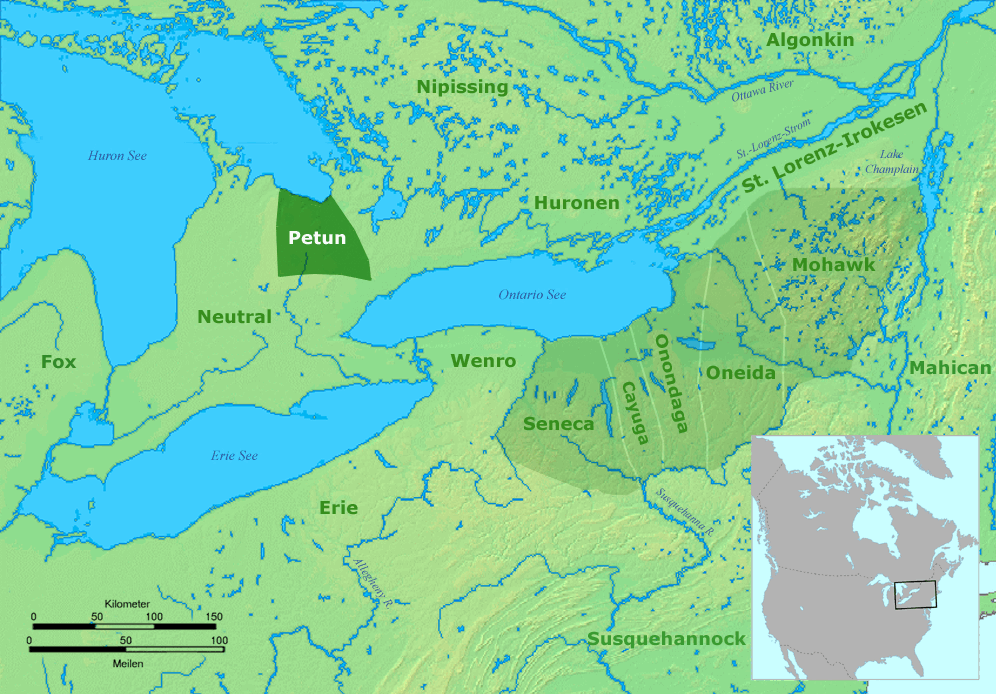
The Neutral Confederacy (also Neutral Nation, Neutral people, or ''Attawandaron'' by neighbouring tribes) were an Iroquoian people who lived in what is now southwestern and south-central Ontario in Canada, North America. They lived throughout the area bounded by the southern half of Lake Huron, the entire northern shoreline of Lake Erie, from the Detroit River in the west to the Niagara River in the east, plus northward around the western end of Lake Ontario. Their territory was southwest of the Petun and west of the southern area of the Huron people, or Wendat territory. They were related to other Iroquoian-language speakers: the Huron people, the Petun (who later merged with the Huron), the Wenro to their east, and the Five Nations of the Iroquois Confederation further to the east, as well as to the Erie people of the south shore of Lake Erie, and the Susquehannock of Central Pennsylvania. Like others of Iroquoian language and culture, the tribes would raid and feud wi ... [...More Info...] [...Related Items...] OR: [Wikipedia] [Google] [Baidu] |
Vascular Plant
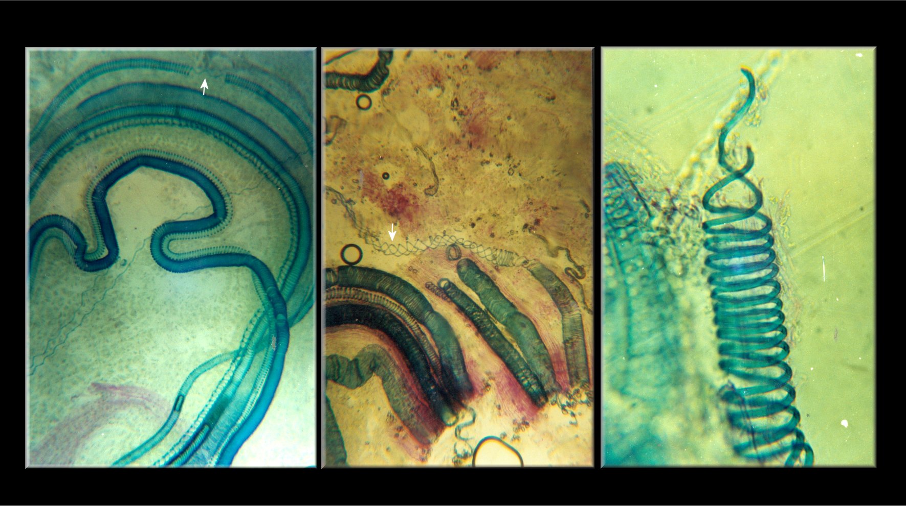
Vascular plants (), also called tracheophytes () or collectively Tracheophyta (), form a large group of land plants ( accepted known species) that have lignified tissues (the xylem) for conducting water and minerals throughout the plant. They also have a specialized non-lignified tissue (the phloem) to conduct products of photosynthesis. Vascular plants include the clubmosses, horsetails, ferns, gymnosperms (including conifers), and angiosperms (flowering plants). Scientific names for the group include Tracheophyta, Tracheobionta and Equisetopsida ''sensu lato''. Some early land plants (the rhyniophytes) had less developed vascular tissue; the term eutracheophyte has been used for all other vascular plants, including all living ones. Historically, vascular plants were known as "higher plants", as it was believed that they were further evolved than other plants due to being more complex organisms. However, this is an antiquated remnant of the obsolete scala naturae, an ... [...More Info...] [...Related Items...] OR: [Wikipedia] [Google] [Baidu] |

.jpg)


