|
Lohsa
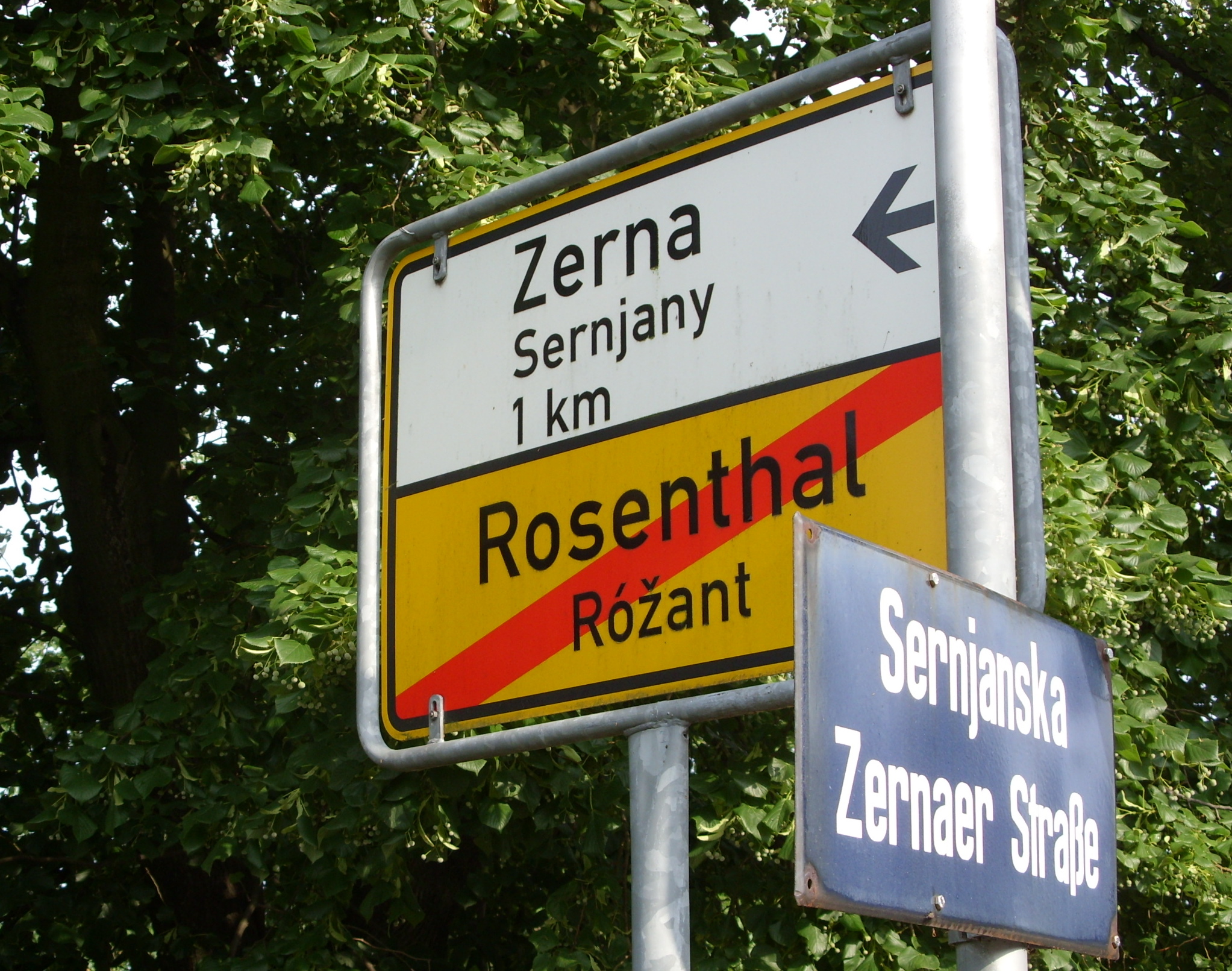
Lohsa (German) or Łaz (Upper Sorbian) is a municipality (German: ''Einheitsgemeinde'') in the district of Bautzen, in Saxony, Germany. The municipality is part of the recognized Sorbian settlement area in Saxony. Upper Sorbian has an official status next to German, all villages bear names in both languages. File:Rathaus Lohsa 2.JPG, Municipal building in Lohsa File:Kirche Lohsa.JPG, Church in Lohsa File:Mittelschule Lohsa.JPG, School in Lohsa File:Fledermausschloss Weißig Lohsa.JPG, Castle in Weißig/Wysoka in Lohsa district Villages Several villages belong to the municipality (names given in German/Upper Sorbian): * Dreiweibern/Tři Žony * Driewitz/Drěwcy * Friedersdorf/Bjedrichecy * Groß Särchen/Wulke Ždźary * Hermsdorf/Spree/Hermanecy * Koblenz/Koblicy * Lippen/Lipiny * Litschen/Złyčin * Lohsa/Łaz * Mortka/Mortkow * Riegel/Roholń * Steinitz/Šćeńca * Tiegling/Tyhelc * Weißig/Wysoka * Weißkollm/Běły Chołmc Economy and Infrastructure Educati ... [...More Info...] [...Related Items...] OR: [Wikipedia] [Google] [Baidu] |
Węgliniec–Roßlau Railway
The Węgliniec–Roßlau (Elbe) railway is a mainline railway in Poland and the German states of Saxony, Brandenburg and Saxony-Anhalt, originally built by the Berlin-Anhalt Railway Company and the Upper Lusatian Railway Company as part of the trunk line from Breslau (now Wrocław) to Magdeburg. It runs from Węgliniec (formerly Kohlfurt) via Niesky, Hoyerswerda, Falkenberg (Elster) and Wittenberg to Roßlau (Elbe). The line is sometimes called the ''Niederschlesische Gütermagistrale'' (Lower Silesian freight trunk line) because it provides a direct connection from the province of Lower Silesia to Central Germany. The western section of the line is one of the oldest lines in Germany. History The Berlin-Anhalt Railway Company (german: Berlin-Anhaltische Eisenbahn-Gesellschaft, BAE) was one of the major railway companies in Germany for more than four decades during the 19th century. Apart from the Anhalt trunk line, during this period it built a network of important rail ... [...More Info...] [...Related Items...] OR: [Wikipedia] [Google] [Baidu] |
Lohsa Station
Lohsa station (german: Haltepunkt Lohsa) is a railway station in the municipality of Lohsa, located in the Bautzen district in Saxony, Germany Germany, officially the Federal Republic of Germany (FRG),, is a country in Central Europe. It is the most populous member state of the European Union. Germany lies between the Baltic and North Sea to the north and the Alps to the sou .... References {{Authority control Railway stations in Saxony Buildings and structures in Bautzen (district) ... [...More Info...] [...Related Items...] OR: [Wikipedia] [Google] [Baidu] |
Speicherbecken Lohsa
Speicherbecken Lohsa is a lake in Oberlausitz, Saxony, Germany Germany, officially the Federal Republic of Germany (FRG),, is a country in Central Europe. It is the most populous member state of the European Union. Germany lies between the Baltic and North Sea to the north and the Alps to the sou .... At an elevation of 110.6 m, its surface area is 10.81 km². Lakes of Saxony {{Saxony-geo-stub ... [...More Info...] [...Related Items...] OR: [Wikipedia] [Google] [Baidu] |
Sorbian Settlement Area
hsb, Serbski sydlenski rum, dsb, Serbski sedleński rum, image_map=File:Sorbisches Siedlungsgebiet.png, subdivision_type1=Country, subdivision_name1=Germany, subdivision_type2=State, subdivision_name2=Saxony, subdivision_type3=State, subdivision_name3=Brandenburg The Sorbian settlement area ( dsb, Serbski sedleński rum, hsb, Serbski sydlenski rum, german: Sorbisches Siedlungsgebiet; in Brandenburg officially ''Siedlungsgebiet der Sorben/Wenden'') commonly makes reference to the area in the east of Saxony and the South of Brandenburg in which the West Slavic people of the Sorbs (in Brandenburg also called "Wends") live autochthonously. In colloquial German, it is called Sorbenland (Land of the Sorbs); before 1945 also – sometimes pejoratively – called ''Wendei''. This area was reduced constantly during the centuries due to assimilation, Germanization and strip mining lignite. Additionally, the identification as Sorb is free under federal and state law and cannot be verif ... [...More Info...] [...Related Items...] OR: [Wikipedia] [Google] [Baidu] |
Bautzen (district)
The district of Bautzen (german: Landkreis Bautzen, hsb, Wokrjes Budyšin) is a district in the state of Saxony in Germany. Its largest towns are Bautzen, Bischofswerda, Kamenz, Hoyerswerda and Radeberg. It is the biggest district in Saxony by area, and a member of the Neisse Euroregion. It is bordered to the south by the Czech Republic. Clockwise, it also borders the district of Sächsische Schweiz-Osterzgebirge, the district-free city of Dresden, the district of Meißen, the state of Brandenburg, and the Görlitz district. History Historically, most of Upper Lusatia belonged to Bohemia. After the end of the Thirty Years' War, it became a part of Saxony. Only the small town of Schirgiswalde remained Bohemian until 1809. The district was established in 1994 by merging the former districts of Bautzen and Bischofswerda. The district of Kamenz and the district-free city of Hoyerswerda were merged into the district in August 2008. Geography The district of Bautzen is part of ... [...More Info...] [...Related Items...] OR: [Wikipedia] [Google] [Baidu] |
Görlitz
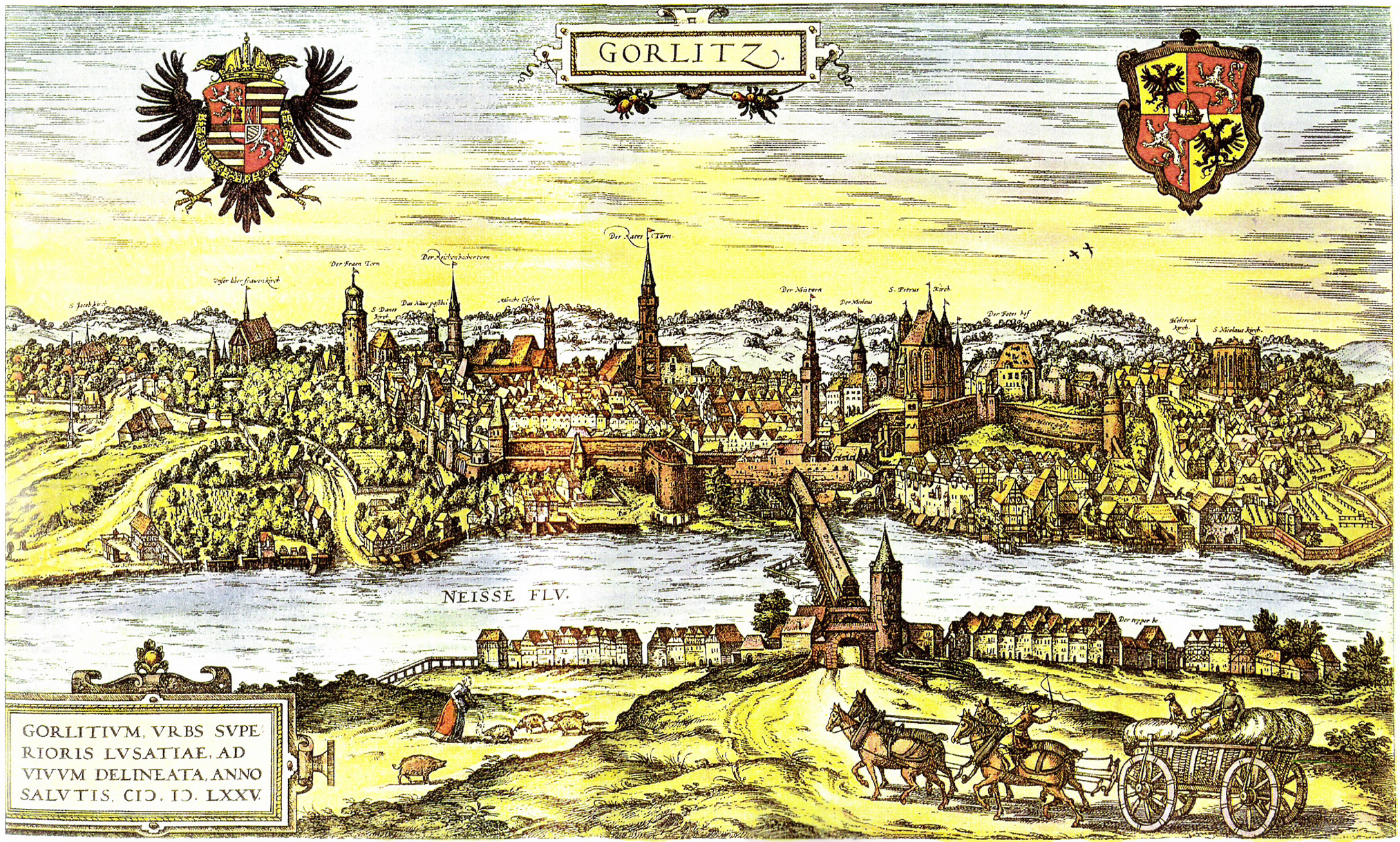
Görlitz (; pl, Zgorzelec, hsb, Zhorjelc, cz, Zhořelec, East Lusatian dialect: ''Gerlz'', ''Gerltz'', ''Gerltsch'') is a town in the German state of Saxony. It is located on the Lusatian Neisse River, and is the largest town in Upper Lusatia as well as the second-largest town in the region of Lusatia, after Cottbus. Görlitz is the easternmost town in Germany (easternmost village is Zentendorf (Šćeńc)), and lies opposite the Polish town of Zgorzelec, which was the eastern part of Görlitz until 1945. The town has approximately 56,000 inhabitants, which make Görlitz the sixth-largest town in Saxony. It is the seat of the district of Görlitz. Together with Zgorzelec, it forms the Euro City of Görlitz/Zgorzelec, which has a combined population of around 86,000. While not Lusatiophone itself, the town is situated just east of the Sorbian-speaking parts of Lusatia. The town's recorded history began in the 11th century as a Sorbian settlement. Through its histor ... [...More Info...] [...Related Items...] OR: [Wikipedia] [Google] [Baidu] |
Hoyerswerda
Hoyerswerda () or Wojerecy () is a major district town in the district of Bautzen in the German state of Saxony. It is located in the Sorbian settlement area of Upper Lusatia, a region where some people speak the Sorbian language in addition to German. Hoyerswerda is divided into the Old Town and the New Town, surrounded by village areas. The Old Town is the historical centre with many old houses and sight-seeing attractions, the New Town is more modern and varicoloured. Prior to the renovation of the town, prefabricated apartment blocks predominated in this area. The town has many lakes, marshes and waterways in its surrounding area, because of its situation in Lusatia. This brings many tourists to spend their holidays there. It is attractive for cyclists and inline skaters who use recently created paths meandering among the lakes. Geography The town is situated in the north of the District of Bautzen, close to the borders of Saxony with Brandenburg. Major cities and towns i ... [...More Info...] [...Related Items...] OR: [Wikipedia] [Google] [Baidu] |
Bundesstraße 97
''Bundesstraße'' (German for "federal highway"), abbreviated ''B'', is the denotation for German and Austrian national highways. Germany Germany's ''Bundesstraßen'' network has a total length of about 40,000 km. German ''Bundesstraßen'' are labelled with rectangular yellow signs with black numerals, as opposed to the white-on-blue markers of the ''Autobahn'' controlled-access highways. ''Bundesstraßen'', like autobahns, are maintained by the federal agency of the Transport Ministry. In the German highway system they rank below autobahns, but above the ''Landesstraßen'' and ''Kreisstraßen'' maintained by the federal states and the districts respectively. The numbering was implemented by law in 1932 and has overall been retained up to today, except for those roads located in the former eastern territories of Germany. One distinguishing characteristic between German ''Bundesstraßen'' and ''Autobahnen'' is that there usually is a general 100 km/h (62 mph) sp ... [...More Info...] [...Related Items...] OR: [Wikipedia] [Google] [Baidu] |
Bundesstraße 96
The Bundesstraße 96 (B 96) is a federal highway in Germany. It begins in Zittau in Saxony, close to the border triangle between Germany, Poland, and the Czech Republic, heads north through Berlin and ends in Sassnitz on the island of Rügen in the Baltic Sea. Some sections of B 96 form a part of the European route E22. History Before the formation of East Germany the highway was known as ''Reichsstraße 96''. The former F (''Fernverkehrsstraße'') 96 was the longest road in the GDR and a major route in north-south direction. When the Berlin Wall was built in 1961 the route of the F 96 was altered so that it went through Mahlow just south East Berlin and Birkenwerder just north of East Berlin. This section is now called B 96a. South of Berlin was the B 96 different from today's route at Klausdorf Mellensee (both now at the municipality Am Mellensee) because of a diversion around Wünsdorf and Zossen the site of the headquarters of the Supreme Command of the Group of Sovi ... [...More Info...] [...Related Items...] OR: [Wikipedia] [Google] [Baidu] |
Bundesstraße 156
''Bundesstraße'' (German for "federal highway"), abbreviated ''B'', is the denotation for German and Austrian national highways. Germany Germany's ''Bundesstraßen'' network has a total length of about 40,000 km. German ''Bundesstraßen'' are labelled with rectangular yellow signs with black numerals, as opposed to the white-on-blue markers of the ''Autobahn'' controlled-access highways. ''Bundesstraßen'', like autobahns, are maintained by the federal agency of the Transport Ministry. In the German highway system they rank below autobahns, but above the '' Landesstraßen'' and ''Kreisstraßen'' maintained by the federal states and the districts respectively. The numbering was implemented by law in 1932 and has overall been retained up to today, except for those roads located in the former eastern territories of Germany. One distinguishing characteristic between German ''Bundesstraßen'' and ''Autobahnen'' is that there usually is a general 100 km/h (62 mph) ... [...More Info...] [...Related Items...] OR: [Wikipedia] [Google] [Baidu] |


