|
Loeriesfontein
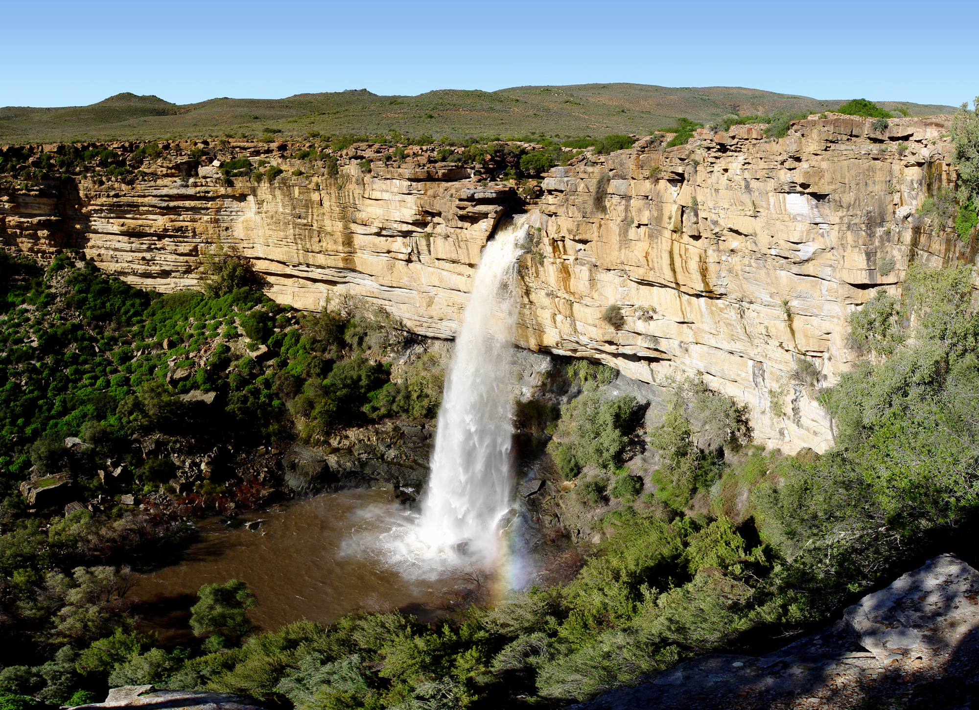
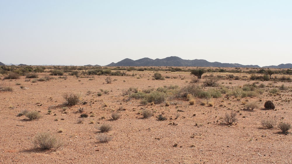
Loeriesfontein is a small town in the Northern Cape of South Africa. It falls within what is known as the Hantam region. The town Location The town of Loeriesfontein is within a basin surrounded by mountains, and it is accessed from the N7 highway (north out of Cape Town), turning off on the R27 at Van Rhynsdorp to Nieuwoudtville, then following the R357 to Loeriesfontein (a further 65 km north). Local government Loeriesfontein became a municipality in 1958, but it has since lost that status in a re-organization of municipal responsibilities that incorporated it into Hantam Local Municipality. History and context The town grew around a general store established in 1894 by a travelling Bible salesman, named Fredrick Turner, the son of the sister of Charles Spurgeon. He came from Norwich, England. The store still exists. It is currently owned by Victor Haupt, the grandson of Fredrick Turner. The shop is currently called Turner & Haupt SPAR, and is 113 years in ... [...More Info...] [...Related Items...] OR: [Wikipedia] [Google] [Baidu] |
Northern Cape
The Northern Cape is the largest and most sparsely populated province of South Africa. It was created in 1994 when the Cape Province was split up. Its capital is Kimberley. It includes the Kalahari Gemsbok National Park, part of the Kgalagadi Transfrontier Park and an international park shared with Botswana. It also includes the Augrabies Falls and the diamond mining regions in Kimberley and Alexander Bay. The Namaqualand region in the west is famous for its Namaqualand daisies. The southern towns of De Aar and Colesberg found within the Great Karoo are major transport nodes between Johannesburg, Cape Town and Port Elizabeth. Kuruman can be found in the north-east and is known as a mission station. It is also well known for its artesian spring and Eye of Kuruman. The Orange River flows through the province of Northern Cape, forming the borders with the Free State in the southeast and with Namibia to the northwest. The river is also used to irrigate the many vineyar ... [...More Info...] [...Related Items...] OR: [Wikipedia] [Google] [Baidu] |
Hantam Local Municipality
Hantam is an administrative area in the Namakwa District of Northern Cape in South Africa. Hatam is a Khoi name that means "mountains where the bulbs grow". The municipality is named after the Hantam Mountains found in the area. Main places The 2011 census divided the municipality into the following main places: Finances In the 2018/19 financial year, 78% of the council's expenditure was deemed unauthorised, irregular, fruitless and wasteful, down from 95% the previous year. At the end of the 2019 year, the council had a cash balance to cover its operating costs for ten days. Politics The municipal council consists of thirteen members elected by mixed-member proportional representation. Seven councillors are elected by first-past-the-post voting in seven wards, while the remaining six are chosen from party list An electoral list is a grouping of candidates for election, usually found in proportional or mixed electoral systems, but also in some plurality electoral ... [...More Info...] [...Related Items...] OR: [Wikipedia] [Google] [Baidu] |
Windpump
A windpump is a type of windmill which is used for pumping water. Windpumps were used to pump water since at least the 9th century in what is now Afghanistan, Iran and Pakistan. The use of wind pumps became widespread across the Muslim world and later spread to China and India. Windmills were later used extensively in Europe, particularly in the Netherlands and the East Anglia area of Great Britain, from the late Middle Ages onwards, to drain land for agricultural or building purposes. Simon Stevin's work in the ''waterstaet'' involved improvements to the sluices and spillways to control flooding. Windmills were already in use to pump the water out, but in ''Van de Molens'' (''On mills''), he suggested improvements, including the idea that the wheels should move slowly, and a better system for meshing of the gear teeth. These improvements increased the efficiency of the windmills used to pump water out of the polders by three times. He received a patent on his innovation in 1586 ... [...More Info...] [...Related Items...] OR: [Wikipedia] [Google] [Baidu] |
Namaqualand
Namaqualand ( khoekhoe: "Nama-kwa" meaning Nama Khoe people's land) is an arid region of Namibia and South Africa, extending along the west coast over and covering a total area of . It is divided by the lower course of the Orange River into two portions – Little Namaqualand to the south and Great Namaqualand to the north. Little Namaqualand is within the Namakwa District Municipality, forming part of Northern Cape Province, South Africa. It is geographically the largest district in the country, spanning over 26,836 km2. A typical municipality is Kamiesberg Local Municipality. The semidesert Succulent Karoo region experiences hot summers, sparse rainfall, and cold winters.Discover South Africa: Your Online Travel Directory. Discover Namakwa. Great Namaqualand in the Karas Region of Namibia, is sparsely populated by the Namaqua, a Khoikhoi people who have traditionally inhabited the Namaqualand region. Tourism The area’s landscape ranges from an unexploited ... [...More Info...] [...Related Items...] OR: [Wikipedia] [Google] [Baidu] |
South Africa
South Africa, officially the Republic of South Africa (RSA), is the southernmost country in Africa. It is bounded to the south by of coastline that stretch along the South Atlantic and Indian Oceans; to the north by the neighbouring countries of Namibia, Botswana, and Zimbabwe; and to the east and northeast by Mozambique and Eswatini. It also completely enclaves the country Lesotho. It is the southernmost country on the mainland of the Old World, and the second-most populous country located entirely south of the equator, after Tanzania. South Africa is a biodiversity hotspot, with unique biomes, plant and animal life. With over 60 million people, the country is the world's 24th-most populous nation and covers an area of . South Africa has three capital cities, with the executive, judicial and legislative branches of government based in Pretoria, Bloemfontein, and Cape Town respectively. The largest city is Johannesburg. About 80% of the population are Black Sou ... [...More Info...] [...Related Items...] OR: [Wikipedia] [Google] [Baidu] |
Museums In The Northern Cape
A museum ( ; plural museums or, rarely, musea) is a building or institution that cares for and displays a collection of artifacts and other objects of artistic, cultural, historical, or scientific importance. Many public museums make these items available for public viewing through exhibits that may be permanent or temporary. The largest museums are located in major cities throughout the world, while thousands of local museums exist in smaller cities, towns, and rural areas. Museums have varying aims, ranging from the conservation and documentation of their collection, serving researchers and specialists, to catering to the general public. The goal of serving researchers is not only scientific, but intended to serve the general public. There are many types of museums, including art museums, natural history museums, science museums, war museums, and children's museums. According to the International Council of Museums (ICOM), there are more than 55,000 museums in 202 co ... [...More Info...] [...Related Items...] OR: [Wikipedia] [Google] [Baidu] |
Populated Places In The Hantam Local Municipality
Population typically refers to the number of people in a single area, whether it be a city or town, region, country, continent, or the world. Governments typically quantify the size of the resident population within their jurisdiction using a census, a process of collecting, analysing, compiling, and publishing data regarding a population. Perspectives of various disciplines Social sciences In sociology and population geography, population refers to a group of human beings with some predefined criterion in common, such as location, race, ethnicity, nationality, or religion. Demography is a social science which entails the statistical study of populations. Ecology In ecology, a population is a group of organisms of the same species who inhabit the same particular geographical area and are capable of interbreeding. The area of a sexual population is the area where inter-breeding is possible between any pair within the area and more probable than cross-breeding with ind ... [...More Info...] [...Related Items...] OR: [Wikipedia] [Google] [Baidu] |
Agricultural Show
An agricultural show is a public event exhibiting the equipment, animals, sports and recreation associated with agriculture and animal husbandry. The largest comprise a livestock show (a judged event or display in which breeding stock is exhibited), a trade fair, competitions, and entertainment. The work and practices of farmers, animal fanciers, cowboys, and zoologists may be displayed. The terms ''agricultural show'' and ''livestock show'' are synonymous with the North American terms county fair and state fair. History The first known agricultural show was held by Salford Agricultural Society, Lancashire, in 1768. Events Since the 19th century, agricultural shows have provided local people with an opportunity to celebrate achievements and enjoy a break from day-to-day routine. With a combination of serious competition and light entertainment, annual shows acknowledged and rewarded the hard work and skill of primary producers and provided a venue for rural families to s ... [...More Info...] [...Related Items...] OR: [Wikipedia] [Google] [Baidu] |
Quiver Tree
''Aloidendron dichotomum'', formerly ''Aloe dichotoma'', the quiver tree or kokerboom, is a tall, branching species of succulent plant, indigenous to Southern Africa, specifically in the Northern Cape province of South Africa, and parts of Southern Namibia. Naming Known as ''choje'' to the indigenous San people, the quiver tree gets its English common name from the San people practice of hollowing out the tubular branches of ''Aloidendron dichotomum'' to form quivers for their arrows. The specific epithet ''"dichotomum"'' refers to how the stems repeatedly branch into two ("dichotomous branching, dichotomous" branching) as the plant grows. This species was moved to the genus ''Aloidendron'' as ''Aloidendron dichotomum'' in 2013. Related species Three separate species, ''A. dichotomum'', ''Aloidendron pillansii, A. pillansii'' and ''Aloidendron ramosissimum, A. ramosissimum'' inhabit the same arid areas of the Richtersveld and the Namib Desert around the South African-Namibian b ... [...More Info...] [...Related Items...] OR: [Wikipedia] [Google] [Baidu] |
Bushmanland, Northern Cape
Bushmanland is an arid area south of the Orange River and west of Kenhardt and east of Springbok ( Namaqualand) in the Northern Cape, South Africa. It includes the towns of Pofadder and Aggeneys Aggeneys is a mining town established in 1976 on a farm of that name, situated between Pofadder and Springbok in the Northern Cape, South Africa. Origin of the name It has been stated that "no-one is quite certain of the origin of the name Agg ..., and places such as Namies and Bosluis Pan. Extensive plains are dotted with inselbergs like the Gamsberg. Bushmanland is an arid area inland from Namaqualand. It is probably the most inhospitable area in South Africa, arid and largely with infertile soil and highly saline groundwater. Its wildlife, however, both fauna and flora, though sparse, are full of interest. Although the veld is too arid to bloom like that of the West Coast of Namaqualand, even when there is some spring rain, what does appear is highly unusual and often haunt ... [...More Info...] [...Related Items...] OR: [Wikipedia] [Google] [Baidu] |
Renewable Energy Independent Power Producer Procurement Programme
The Renewable Energy Independent Power Producer Procurement Programme (REIPPPP) is an initiative by the South African government aimed at increasing electricity generation through private sector investment in solar photovoltaic and concentrated solar, onshore wind power, small hydro (<40 MW), , , and . As of 2021, a total of 117 projects have been awarded to the private sector. Private sector investment totaling has been committed to the REIPPPP, and would generate 3922 MW of renewable power. The programme supports the commitments made by South Africa under the [...More Info...] [...Related Items...] OR: [Wikipedia] [Google] [Baidu] |


