|
Livingstone Shire Council
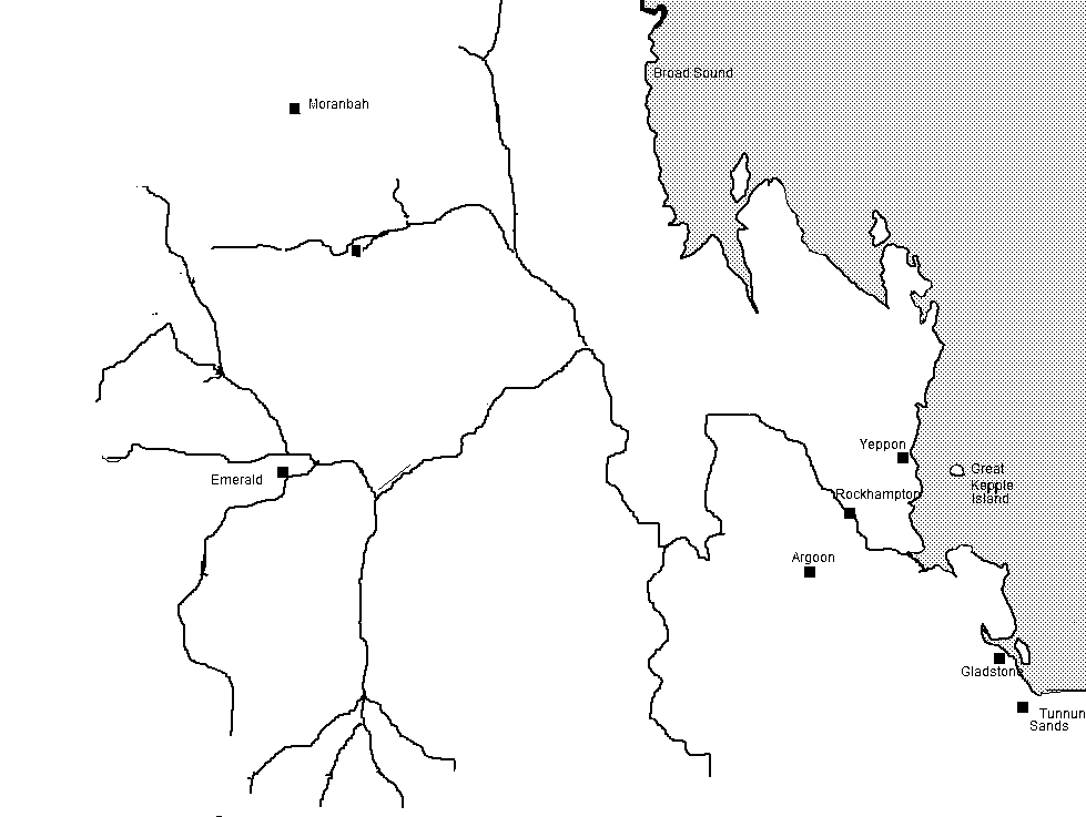
The Shire of Livingstone is a local government area located in the Capricornia region of Central Queensland, Queensland, Australia, to the immediate north and east of the regional city of Rockhampton. The shire, administered from the coastal town of Yeppoon, covers an area of , and existed as a local government entity from 1879 until 2008, when it amalgamated with several other councils to become the Rockhampton Region. The Shire was re-established on 1 January 2014 following a successful de-amalgamation referendum in 2013. Industry within the shire is diverse. Timber is harvested from extensive pine plantations near Byfield in the north. Significant pineapple production takes place within the shire, as well as other agricultural crops. Tourism is increasingly becoming a mainstay of the area, with Keppel Bay and the nearby islands a major drawcard, and more than half of the Shire's population lives in the coastal area centred on Yeppoon and Emu Park. The coastal strip within th ... [...More Info...] [...Related Items...] OR: [Wikipedia] [Google] [Baidu] |
Queensland
Queensland ( , commonly abbreviated as Qld) is a States and territories of Australia, state in northeastern Australia, and is the second-largest and third-most populous state in Australia. It is bordered by the Northern Territory, South Australia and New South Wales to the west, south-west and south, respectively. To the east, Queensland is bordered by the Coral Sea and the Pacific Ocean; to the state's north is the Torres Strait, separating the Australian mainland from Papua New Guinea, and the Gulf of Carpentaria to the north-west. With an area of , Queensland is the world's List of country subdivisions by area, sixth-largest subnational entity; it List of countries and dependencies by area, is larger than all but 16 countries. Due to its size, Queensland's geographical features and climates are diverse, and include tropical rainforests, rivers, coral reefs, mountain ranges and white sandy beaches in its Tropical climate, tropical and Humid subtropical climate, sub-tropical c ... [...More Info...] [...Related Items...] OR: [Wikipedia] [Google] [Baidu] |
Capricorn Coast
The Capricorn Coast is a stretch of coastline in Central Queensland, Australia and is part of the Shire of Livingstone (formerly part of Rockhampton Region). Geography The Capricorn Coasts takes its name from Cape Capricorn () on Curtis Island (Queensland), Curtis Island, which in turn takes its name from the Tropic of Capricorn (approx ) which passes through roughly through the cape. The Tropic also passes through Capricorn Coast. The Capricorn Coast is officially defined as "the coastal area between the mouth of Water Park Creek and the mouth of the Fitzroy River", which establishes its boundaries as and , i.e. from Farnborough, Queensland, Farnborough to Thompson Point, Queensland, Thompson Point. The Capricorn Coast is approximately from end to end yet comparatively small in population, with dozens of towns and islands scattered along its length. The region has a rich history going back to the 1850s. The Capricorn Coast offers a wide variety of luxury and budget holiday ... [...More Info...] [...Related Items...] OR: [Wikipedia] [Google] [Baidu] |
Parkhurst, Queensland
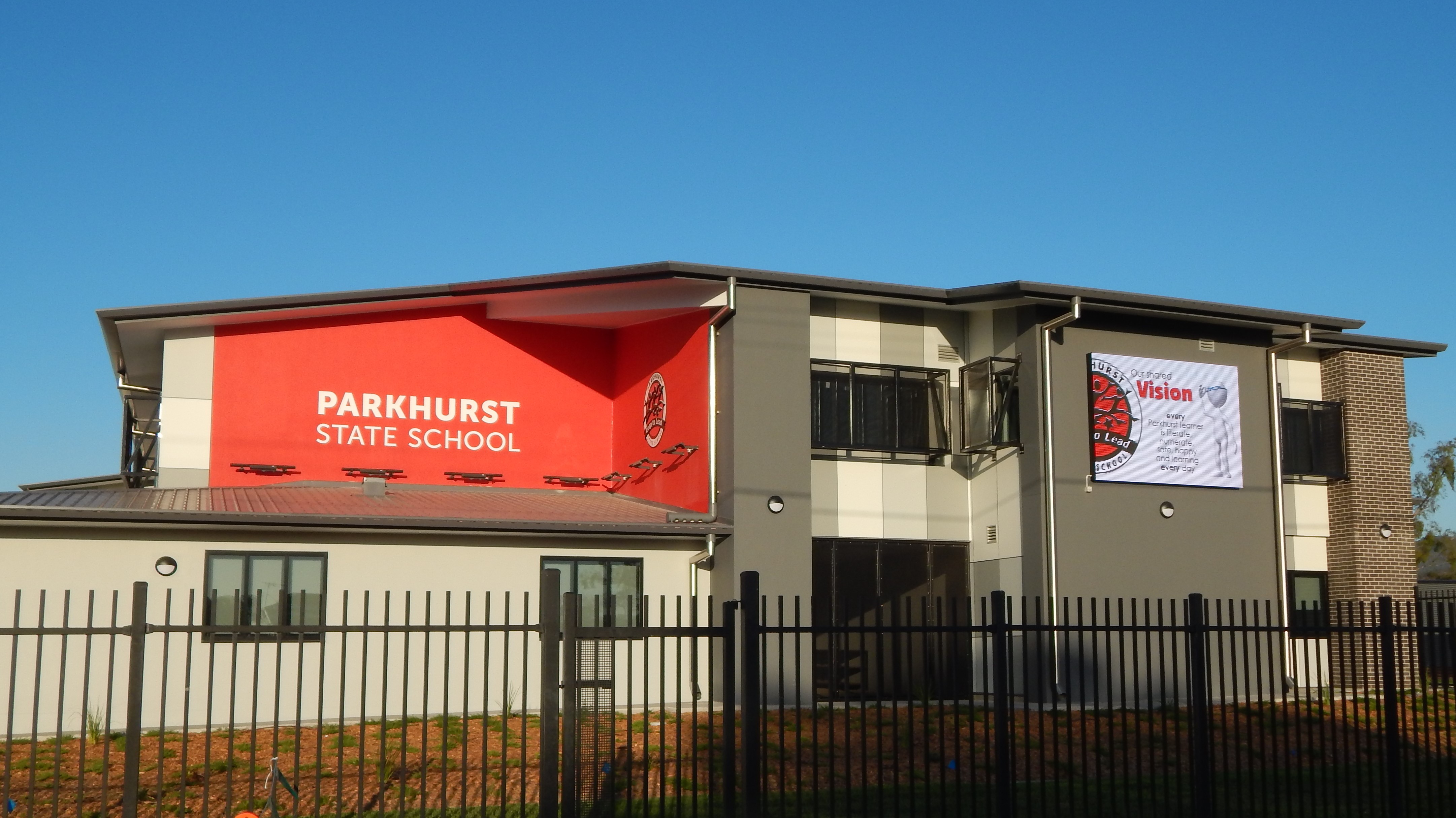
Parkhurst is a northern Suburbs and localities (Australia), suburb of Rockhampton, Queensland, Rockhampton in the Rockhampton Region, Queensland, Australia. In the , Parkhurst had a population of 3,043 people. Geography Parkhurst is bounded to the north by Ramsay Creek and to the west by Ramsay Creek and then the Fitzroy River (Queensland), Fitzroy River. To the south it is bounded by Limestone Creek (the creek, not the suburb) and by Rockhampton–Yeppoon Road (also known as the Yeppoon Road). A section of the Bruce Highway passes through the centre of the suburb from south to north, while the North Coast railway line, Queensland, North Coast railway line also passes through the suburb from south to north, to the west of the highway. The proposed Rockhampton Ring Road will pass through Parkhurst on its way to join the Bruce Highway' The Parkhurst Industrial Estate is in the south-west of the suburb, while the residential land is in the west near the river and in the north-eas ... [...More Info...] [...Related Items...] OR: [Wikipedia] [Google] [Baidu] |
City Of Rockhampton
The City of Rockhampton was a local government area in the Central Queensland region of Queensland, Australia, encompassing most of the suburban area of the regional city of Rockhampton. The city covered an area of , and has existed as a local government entity in various forms from 1860 until 2008, when it amalgamated with several other councils in the surrounding area to become the Rockhampton Region. History The Borough of Rockhampton was proclaimed as Queensland's fourth municipality (after Borough of Brisbane, Borough of Ipswich and Borough of Toowoomba) on 13 December 1860 under the ''Municipalities Act 1858'', a piece of New South Wales legislation inherited by Queensland when it became a separate colony in 1859. It held its first election on 26 February 1861 and its inaugural meeting on 1 March 1861. The municipality had an area of located on the south bank of the Fitzroy River and had a population of about 600. In 1864, the council was divided into three wards— ... [...More Info...] [...Related Items...] OR: [Wikipedia] [Google] [Baidu] |
Shire Of Gogango
Shire () is a traditional term for an administrative division of land in Great Britain and some other English-speaking countries. It is generally synonymous with county (such as Cheshire and Worcestershire). British counties are among the oldest extant national divisions in the world. It was first used in Wessex from the beginning of Anglo-Saxon settlement, and spread to most of the rest of England in the 10th century. Today, 23 counties bear the "-shire" suffix in England, 23 in Scotland, and 10 in Wales. In some rural parts of Australia, a shire is a local government area; however, in Australia, it is not synonymous with a "county", which is a lands administrative division. Etymology The word ''shire'' derives from the Old English , from the Proto-Germanic (), denoting an 'official charge' a 'district under a governor', and a 'care'. In the UK, ''shire'' became synonymous with ''county'', an administrative term introduced to England through the Norman Conquest in the l ... [...More Info...] [...Related Items...] OR: [Wikipedia] [Google] [Baidu] |
Fitzroy Division
#REDIRECT Shire of Fitzroy The Shire of Fitzroy was a local government area located in the Capricornia region of Central Queensland, Queensland, Australia, to the immediate west and south of the regional city of Rockhampton. The shire, administered from the town of Grac ... Fitzroy Division ... [...More Info...] [...Related Items...] OR: [Wikipedia] [Google] [Baidu] |
Fitzroy River (Queensland)
The Fitzroy River ( Darumbal: ) is a river in Central Queensland, Australia. Its catchment covers an area of , making it the largest river catchment flowing to the eastern coast of Australia. It is also the largest river basin that discharges onto the Great Barrier Reef. Course and features Formed by the confluence of the Mackenzie and Dawson rivers that drain the Expedition Range and the Carnarvon Range respectively, the Fitzroy River rises near Duaringa and flows initially north by east, then northward near the Goodedulla National Park. The river then flows in an easterly direction near the Lake Learmouth State Forest and parallel with the Bruce Highway through the settlement of , before turning south to where the river is crossed by the Bruce Highway. After flowing through Rockhampton, the river flows south by east past the Berserker Range past Humbug Point to the south of the Flat Top Range and eventually discharging into Keppel Bay in the Coral Sea near the MacKenzi ... [...More Info...] [...Related Items...] OR: [Wikipedia] [Google] [Baidu] |
Broadsound Division
#REDIRECT Shire of Broadsound Shire of Broadsound was a Local government in Australia, local government area in the Capricornia, Queensland, Capricornia region of Queensland, Australia. The Shire, administered from the town of St Lawrence, Queensland, St Lawrence, covered an ... Broadsound Division ... [...More Info...] [...Related Items...] OR: [Wikipedia] [Google] [Baidu] |
Borough Of North Rockhampton
The Town of North Rockhampton (formerly the Borough of North Rockhampton) was a Local government areas of Queensland, local government area in Queensland, Australia. It existed from 1883 to 1919. History The Borough of Rockhampton was proclaimed as Queensland's fourth municipality (after Borough of Brisbane, Borough of Ipswich (Queensland), Borough of Ipswich and Borough of Toowoomba) on 13 December 1860 under the ''Municipalities Act 1858'', a piece of New South Wales legislation inherited by Queensland when it became a separation of Queensland, separate colony in 1859. It held its first election on 26 February 1861 and its inaugural meeting on 1 March 1861. The municipality had an area of located on the south bank of the Fitzroy River (Queensland), Fitzroy River and had a population of about 600. In 1864, the council was divided into three wards—Fitzroy, Archer and Leichhardt. It achieved a measure of autonomy in 1878 with the enactment of the ''Local Government Act''. On ... [...More Info...] [...Related Items...] OR: [Wikipedia] [Google] [Baidu] |
Mount Morgan, Queensland
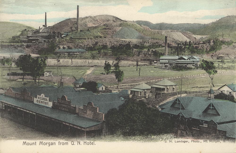
Mount Morgan is a rural town and locality in the Rockhampton Region, Queensland, Australia. The town was the administrative centre of the Mount Morgan Shire until March 2008, when it was amalgamated with neighbouring local government areas to form the Rockhampton Region. In the , the town of Mount Morgan had a population of 2,487 people, while the locality of Mount Morgan had a population of 2,018 people. Geography The town of Mount Morgan is situated on the Dee River, south of the city of Rockhampton, and is north of the state capital, Brisbane. The Burnett Highway passes through the town. There are a number of neighbourhoods within the locality: * Gordon Vale () * Kenbula (), located around the former Kenbula railway station * Talban (), located around the former Talban railway station The names ''Kenbula'' and ''Talban'' were both assigned by the Queensland Railway Department on 18 November 1911. Both are Aboriginal names, ''Kenbula'' meaning '' ironbark tree'' ... [...More Info...] [...Related Items...] OR: [Wikipedia] [Google] [Baidu] |
Rockhampton Regional Council
The Rockhampton Region is a local government area (LGA) in Central Queensland, Australia, located on the Tropic of Capricorn about north of Brisbane. Rockhampton is the region's major city; the region also includes the Fitzroy River, Queensland, Fitzroy River, Mount Archer National Park and Berserker Range. In the , the Rockhampton Region had a population of 81,968 people. History Established in 2008, it was preceded by four previous local government areas extending to almost the beginning of local government in Queensland. On 1 January 2014, one of those local government areas, the Shire of Livingstone was restored as an independent council. Prior to the 2008 amalgamation, the Rockhampton Region existed as four distinct local government areas: * the City of Rockhampton; * the Shire of Fitzroy; * the Shire of Livingstone (now de-amalgamated); * and the Shire of Mount Morgan. Rockhampton was proclaimed as Queensland's fourth municipality (after City of Brisbane, Brisbane, ... [...More Info...] [...Related Items...] OR: [Wikipedia] [Google] [Baidu] |


