|
List Of Mountain Peaks Of Texas
This is a list of mountains in the state of Texas greater than 2,000 feet. References {{Mountains of Texas Texas Texas (, ; Spanish language, Spanish: ''Texas'', ''Tejas'') is a state in the South Central United States, South Central region of the United States. At 268,596 square miles (695,662 km2), and with more than 29.1 million residents in 2 ... Mountain peaks ... [...More Info...] [...Related Items...] OR: [Wikipedia] [Google] [Baidu] |
Mountain
A mountain is an elevated portion of the Earth's crust, generally with steep sides that show significant exposed bedrock. Although definitions vary, a mountain may differ from a plateau in having a limited summit area, and is usually higher than a hill, typically rising at least 300 metres (1,000 feet) above the surrounding land. A few mountains are isolated summits, but most occur in mountain ranges. Mountains are formed through tectonic forces, erosion, or volcanism, which act on time scales of up to tens of millions of years. Once mountain building ceases, mountains are slowly leveled through the action of weathering, through slumping and other forms of mass wasting, as well as through erosion by rivers and glaciers. High elevations on mountains produce colder climates than at sea level at similar latitude. These colder climates strongly affect the ecosystems of mountains: different elevations have different plants and animals. Because of the less hospitable ... [...More Info...] [...Related Items...] OR: [Wikipedia] [Google] [Baidu] |
Emory Peak
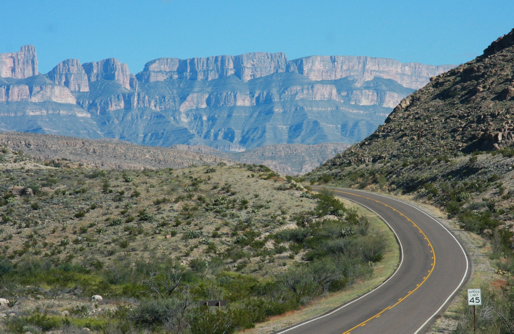
Emory Peak, located in Big Bend National Park, is the highest peak in the Chisos Mountains and the highest in Brewster County. The peak is named for William H. Emory, the chief surveyor of the U.S. Boundary Survey team of 1852. From the Chisos Basin the peak appears to be a minor ridge, while the summit of Casa Grande, one mile closer, seems to be much taller. From the west, Emory Peak is clearly visible as a point slightly higher than most of the mountain range. The peak can be reached by a moderate hike on a well-marked path across steep rocky terrain with an elevation gain of approximately . The Emory Peak Trail is about long. The trail is reached by climbing the Pinnacles Trail from the Chisos Basin trailhead. Once at the base there is a semi-technical rock scramble to navigate before reaching the summit. No gear is needed for this climb although hikers should take great care. High-desert flora and fauna including alligator juniper ('' Juniperus deppeana''), pinyon pine ... [...More Info...] [...Related Items...] OR: [Wikipedia] [Google] [Baidu] |
Carpenter Mountain (Texas)
Carpenter Mountain is a mountain peak in Jeff Davis County, Texas. Its summit is above sea level. Carpenter Mountain is about west-southwest of Fort Davis, Texas Fort Davis is an unincorporated community and census-designated place (CDP) in Jeff Davis County, Texas, United States. The population was 1,201 at the 2010 census, up from 1,050 at the 2000 census. It is the county seat of Jeff Davis County. Hist .... References Landforms of Jeff Davis County, Texas Mountains of Texas {{JeffDavisCountyTX-geo-stub ... [...More Info...] [...Related Items...] OR: [Wikipedia] [Google] [Baidu] |
Sierra Del Carmen
The Sierra del Carmen, also called the Sierra Maderas del Carmen, is a northern finger of the Sierra Madre Oriental in the state of Coahuila, Mexico. The Sierra begins at the Rio Grande at Big Bend National Park and extends southeast for about , reaching a maximum elevation of . Part of the Sierra del Carmen is protected in the Maderas del Carmen Biosphere Reserve as part of a bi-national effort to conserve a large portion of the Chihuahua Desert in Mexico and Texas. Geography Some authorities include the Chisos and other mountains of Big Bend National Park as part of the Sierra del Carmen. From the Mexican side of the Rio Grande, the Sierra runs southeast for about to 28’ 40° North latitude and a maximum width of about . Elevations increase toward the south culminating in several peaks with heights of more than and a maximum altitude of .Google Earth The western side of the Sierra del Carmen features a high limestone escarpment that formed along a fault line. The Si ... [...More Info...] [...Related Items...] OR: [Wikipedia] [Google] [Baidu] |
Beach Mountains
The Beach Mountains are located on privately owned land roughly north of Van Horn in southwestern Culberson County, Texas. The maximum elevation reached is above sea level. The Beach Mountains occupy a roughly circular area with a diameter of approximately , rising above the surrounding desert. Narrow passes separate the Beach Mountains from the Baylor Mountains to the north and the much larger Sierra Diablo range to the northwest. Geology The Beach mountain range is one of multiple isolated mountain ranges that populate Trans-Pecos Texas. Other nearby ranges include the Sierra Diablo, Baylor, Apache, Carrizo, Wylie, Eagle, and Van Horn mountains. Although these isolated ranges may share some common characteristics, their underlying geology can vary significantly. The Beach Mountains are erosional remnants of Ordovician and Cambrian sedimentary rocks laid down from 541 to 444 million years ago. Along their western margins, a highly intermittent stream called Hackberry Creek ... [...More Info...] [...Related Items...] OR: [Wikipedia] [Google] [Baidu] |
Hueco Mountains
The Hueco Mountains are a range of mountains that rise in southern Otero County, New Mexico and extend south into Texas, generally along the El Paso– Hudspeth county line just east of the city of El Paso, Texas. The highest point of the range is the Cerro Alto Mountain in Hudspeth County. The Hueco Bolson, a down-dropped area with an elevation of above sea level, with sedimentary fill nearly thick, lies between the Hueco and Franklin Mountains. Shallow, stony soils in the Hueco Mountains support oak, juniper, and some mesquite. The mountains were part of the Rocky Mountain trend, forced upward as part of the Laramide mountain-building period during the late Cretaceous The Cretaceous ( ) is a geological period that lasted from about 145 to 66 million years ago (Mya). It is the third and final period of the Mesozoic Era, as well as the longest. At around 79 million years, it is the longest geological period of ..., 60 to 70 million years ago. The word ''hueco'' is Sp ... [...More Info...] [...Related Items...] OR: [Wikipedia] [Google] [Baidu] |
Cerro Alto Mountain
Cerro Alto Mountain is a mountain in western Texas east of El Paso along U.S. Route 180. It is the highest point in the Hueco Mountains. The awelo of the Tigua Indians is believed to reside near Cerro Alto Mountain. Which began during their arrival in the 17th century. See also *Geography of Texas The geography of Texas is diverse and large. Occupying about 7% of the total water and land area of the U.S., it is the second largest state after Alaska, and is the southernmost part of the Great Plains, which end in the south against the folded ... References {{Authority control Landforms of Hudspeth County, Texas Mountains of Texas ... [...More Info...] [...Related Items...] OR: [Wikipedia] [Google] [Baidu] |
El Paso County, Texas
El Paso County is the westernmost County (United States), county in the U.S. state of Texas. As of the 2020 United States census, 2020 census, the population was 865,657, making it the ninth-most populous List of counties in Texas, county in the state of Texas. Its county seat, seat is the city of El Paso, Texas, El Paso, the List of cities in Texas by population, sixth-most populous city in Texas and the List of United States cities by population, 22nd-most populous city in the United States. The county was created in 1850 and later organized in 1871. ''El Paso'' is short for "El Paso del Norte", which is Spanish language, Spanish for "The Pass of the North". It is named for the pass the Rio Grande creates through the mountains on either side of the river. The county is northeast of the Mexico–United States border. El Paso County is included in the El Paso metropolitan area. Along with Hudspeth County, Texas, Hudspeth County, it is one of two counties of Texas entirely in th ... [...More Info...] [...Related Items...] OR: [Wikipedia] [Google] [Baidu] |
Franklin Mountains (Texas)
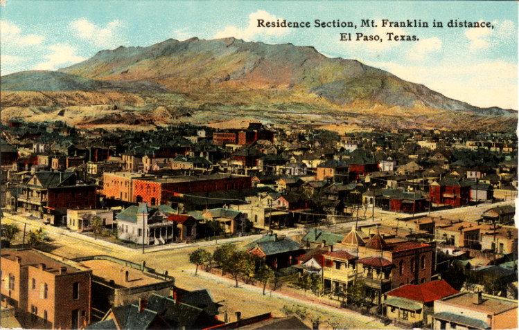
The Franklin Mountains of Texas ( es, Sierras de los Mansos) are a small range long, wide that extend from El Paso, Texas north into New Mexico. The Franklins were formed due to crustal extension related to the Cenozoic Rio Grande rift. Although the present topography of the range and adjoining basins is controlled by extension during rifting in the last 10 million years, faults within the range also record deformation during the Laramide orogeny, between 85 and 45 million years ago. The highest peak is North Franklin Peak at . Much of the range is part of the Franklin Mountains State Park. The mountains are composed primarily of sedimentary rock with some igneous intrusions. Geologists refer to them as tilted-block fault mountains and in them can be found 1.25 billion-year-old Precambrian The Precambrian (or Pre-Cambrian, sometimes abbreviated pꞒ, or Cryptozoic) is the earliest part of Earth's history, set before the current Phanerozoic Eon. The Precambrian is so ... [...More Info...] [...Related Items...] OR: [Wikipedia] [Google] [Baidu] |
North Franklin Mountain
North Franklin Mountain (or North Franklin Peak) is a mountain in the Franklin Mountains of El Paso, Texas, located in the Southwestern United States. North Franklin, at , is the highest point in El Paso, and the 27th-highest mountain in the state of Texas. Surrounded by a state park and with a maintained trail leading to its summit, the mountain is a popular hiking destination. North Franklin is located entirely within the city of El Paso, approximately east of the Texas–New Mexico border and north of the U.S.–Mexico border. The mountain is the highest of the Franklins, clipping nearby Anthony's Nose by just over and neighboring South Franklin by nearly . North Franklin rises above both its western base in the Mesilla Valley and its eastern base in the Hueco Bolson. In spite of its name, North Franklin is actually in the ''central'' Franklins, being the northernmost of the range's two key peaks (South Franklin, of course, is the other). To the south of these, t ... [...More Info...] [...Related Items...] OR: [Wikipedia] [Google] [Baidu] |
Hudspeth County, Texas
Hudspeth County is a county located in the U.S. state of Texas. As of the 2020 census, the population was 3,202. Its county seat is Sierra Blanca, and the largest community is Fort Hancock. The county is named for Claude Benton Hudspeth, a state senator and United States Representative from El Paso. It is northeast of the Mexico–U.S. border. Hudspeth County is included in the El Paso Metropolitan Statistical Area. It is one of the nine counties that comprise the Trans-Pecos region of West Texas. Hudspeth is one of two Texas counties to entirely observe Mountain Time, along with neighboring El Paso, while Culberson County partly observes it (in the northwest region, as the rest of the county observes Central Time). History Prehistoric Jornada Mogollón peoples Texas Beyond History were practicing agriculture in the Rio Grande floodplain ''circa'' 900–1350 AD. These people left behind artifacts and pictographs as evidence of their presence. Texas Beyond History The ... [...More Info...] [...Related Items...] OR: [Wikipedia] [Google] [Baidu] |
Presidio County, Texas
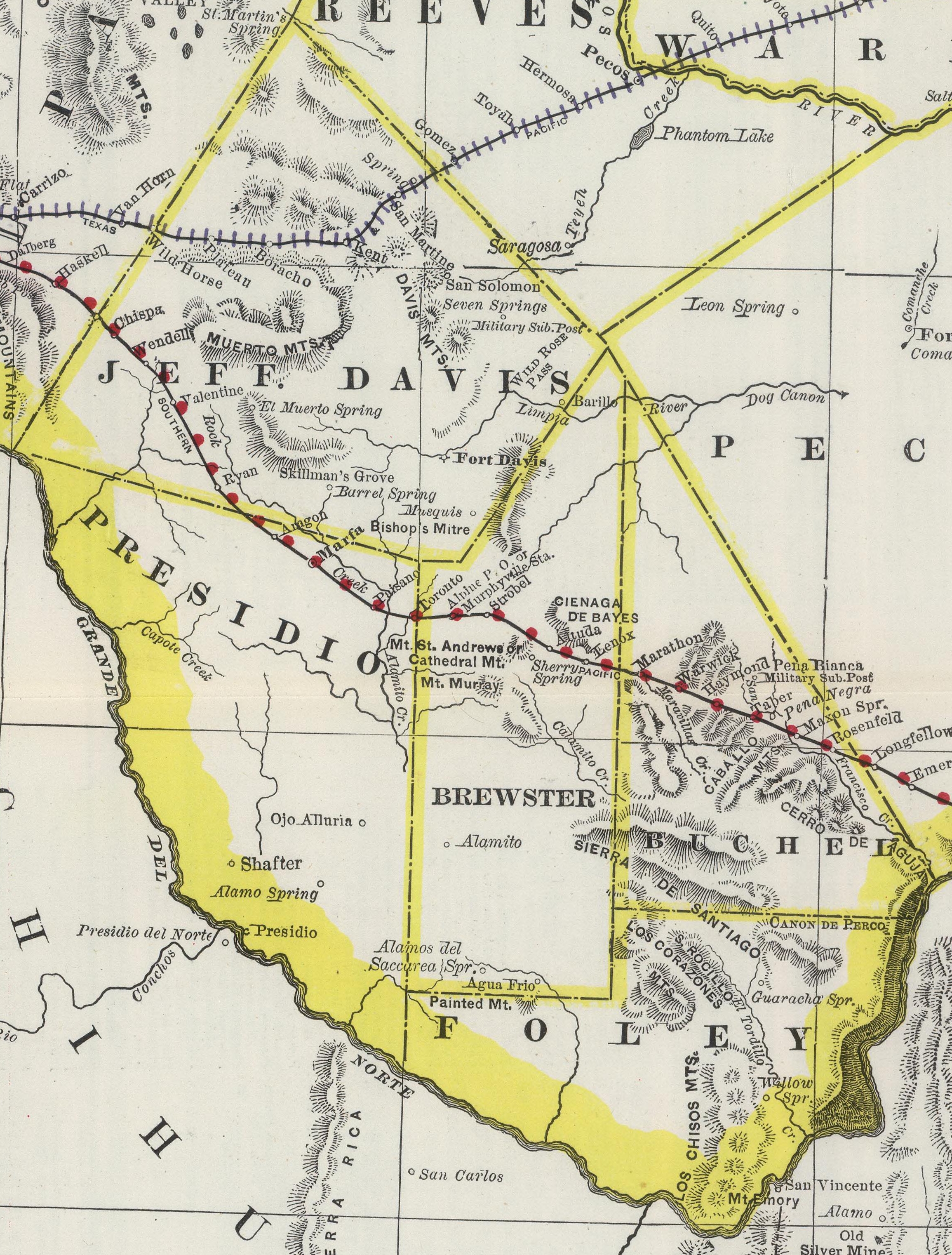
Presidio County is a county located in the U.S. state of Texas. As of the 2020 census, its population was 6,131. Its county seat is Marfa. The county was created in 1850 and later organized in 1875. Presidio County (K-5 in Texas topological index of counties) is in the Trans-Pecos region of West Texas and is named for the border settlement of Presidio del Norte. It is on the Rio Grande, which forms the Mexican border. History Native Americans Paleo-Indians (hunter-gatherers) existed thousands of years ago on the Trans-Pecos, and often did not adapt to culture clashes, European diseases, and colonization. The Masames tribe was exterminated by the Tobosos, ''circa'' 1652. The Nonojes suffered from clashes with the Spanish and merged with the Tobosos. The Spanish made slave raids to the La Junta de los Ríos, committing cruelties against the native population. The Suma-Jumano tribe sought to align themselves with the Spanish for survival. The tribe later merged with the Apa ... [...More Info...] [...Related Items...] OR: [Wikipedia] [Google] [Baidu] |


