|
Linden Boulevard
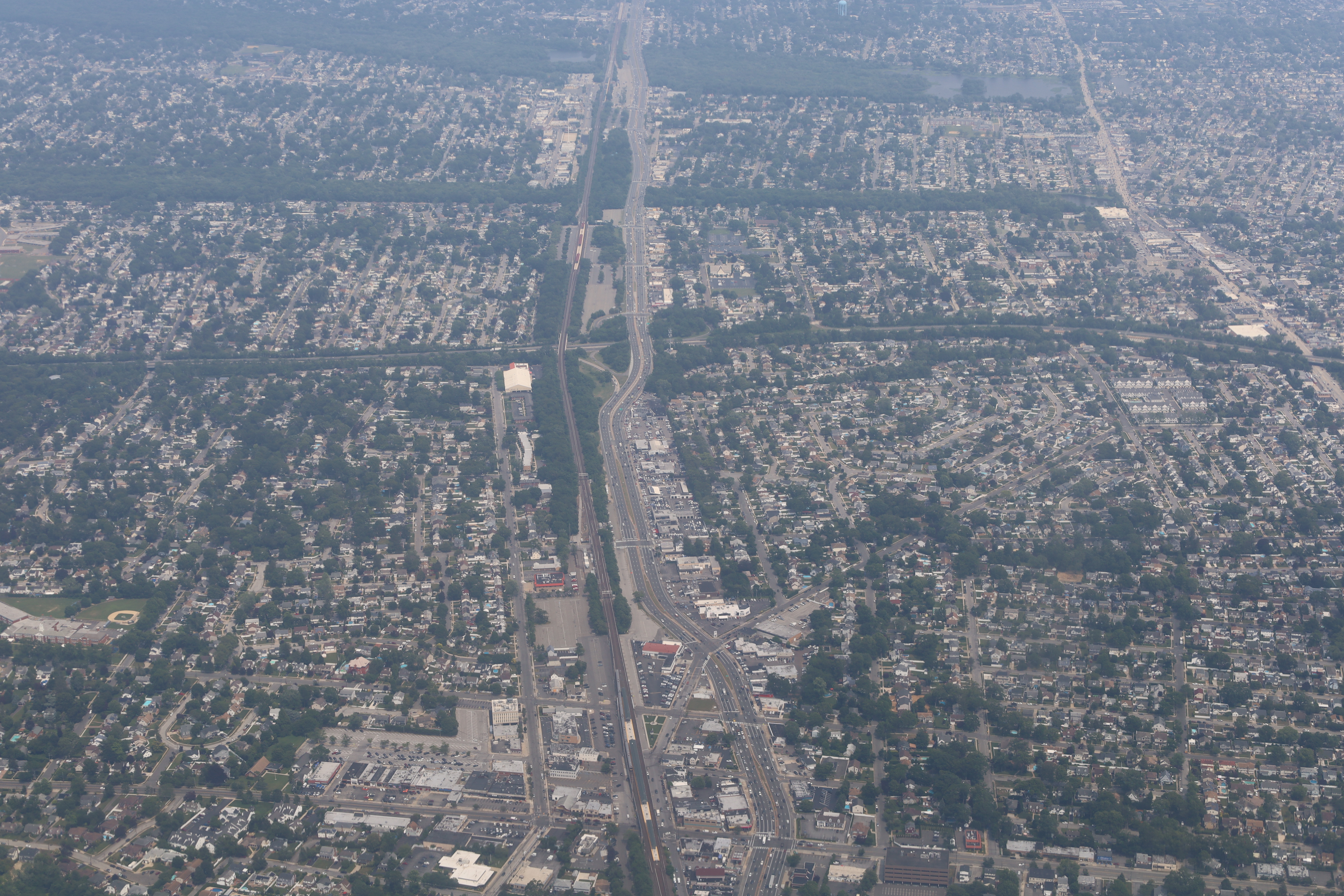
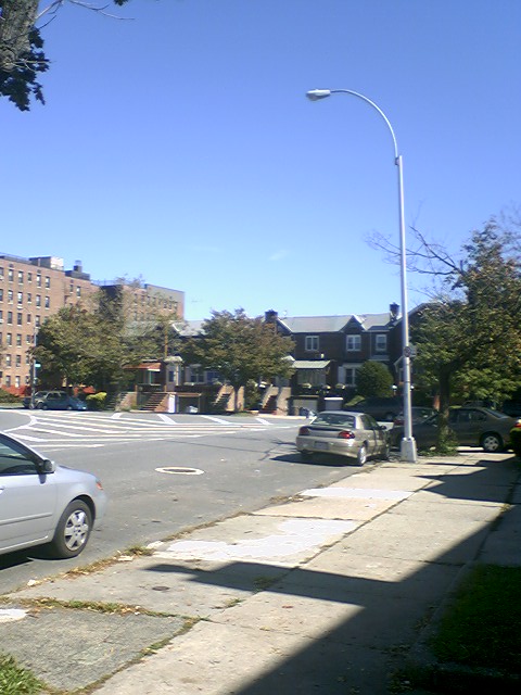
Linden Boulevard is a boulevard in New York City and Nassau County. Its western end is at Flatbush Avenue in Brooklyn, where Linden Boulevard travels as an eastbound-only street to Caton Avenue, where it becomes a two-way street. The boulevard stretches through both Brooklyn and Queens – in addition to southwestern Nassau County. This boulevard, especially the area of Cambria Heights between Springfield Boulevard and the Nassau County line represents a smaller version of shopping centers located on Jamaica Avenue and Queens Boulevard. Within Nassau County, the road becomes the unsigned Nassau County Route C36. It is known as Linden Boulevard as far east as Valley Stream and then becomes Central Avenue, which was one of several former names of the street in Queens. Description New York City section Linden Boulevard runs through both Brooklyn and Queens, but is interrupted by Aqueduct Racetrack and the street grid in Ozone Park, Queens. The street's character is v ... [...More Info...] [...Related Items...] OR: [Wikipedia] [Google] [Baidu] |
Brooklyn
Brooklyn is a Boroughs of New York City, borough of New York City located at the westernmost end of Long Island in the New York (state), State of New York. Formerly an independent city, the borough is coextensive with Kings County, one of twelve original counties established under English rule in 1683 in what was then the Province of New York. As of the 2020 United States census, the population stood at 2,736,074, making it the most populous of the five boroughs of New York City, and the most populous Administrative divisions of New York (state)#County, county in the state.Table 2: Population, Land Area, and Population Density by County, New York State - 2020 New York State Department of Health. Accessed January 2, 2024. [...More Info...] [...Related Items...] OR: [Wikipedia] [Google] [Baidu] |
Jamaica Avenue
Jamaica Avenue is a major avenue in the New York City boroughs of Brooklyn and Queens, New York, in the United States. Jamaica Avenue's western end is at Fulton Street and Broadway, as a continuation of East New York Avenue, in Brooklyn's East New York neighborhood. Physically, East New York Avenue connects westbound to New York Avenue, where East New York Avenue changes names another time to Lincoln Road; Lincoln Road continues to Ocean Avenue in the west, where it ends. Its eastern end is at the city line in Bellerose, Queens, where it merges into NY 25 (Jericho Turnpike) to serve the rest of Long Island. History Jamaica Avenue was part of a pre-Columbian trail for tribes from as far away as the Ohio River and the Great Lakes, coming to trade skins and furs for wampum. It was in 1655 that the first settlers paid the Native Americans with two guns, a coat, and some powder and lead, for the land lying between the old trail and "Beaver Pond", later Baisley Pond. Dutc ... [...More Info...] [...Related Items...] OR: [Wikipedia] [Google] [Baidu] |
Cul-de-sac
A dead end, also known as a ''cul-de-sac'' (; , ), a no-through road or a no-exit road, is a street with only one combined inlet and outlet. Dead ends are added to roads in urban planning designs to limit traffic in residential areas. Some dead ends prohibit all-through traffic, while others allow cyclists, pedestrians, or other non-automotive traffic to pass through connecting easements or paths. The latter case is an example of filtered permeability. The International Federation of Pedestrians proposed calling such streets "living end streets" and to provide signage at the entry of the streets that clearly indicates non-automotive permeability. This would retain the dead end's primary function as a non-through road, but establish complete pedestrian and bicycle network connectivity. "Dead end" is not the most commonly used expression in all English-speaking regions. Official terminology and traffic signs include many alternatives; some are only used regionally. In th ... [...More Info...] [...Related Items...] OR: [Wikipedia] [Google] [Baidu] |
Rockaway Boulevard
Rockaway Boulevard is a major road in the New York City borough of Queens. Unlike the similarly named Rockaway Beach Boulevard and Rockaway Freeway, it serves mainland Queens and does not enter the Rockaways. Route description It begins as an undivided road at Eldert Lane, a small one-way street that runs along the border between Queens and Brooklyn. West of Atlantic Avenue, it is a two-lane road. When it crosses Atlantic Avenue, it widens to four lanes. Rockaway Boulevard generally runs east-southeast. It crosses the Van Wyck Expressway ( I-678) and the Belt Parkway. Just south of the parkway, the Queens segment of the Nassau Expressway ( NY 878) ends at Rockaway Boulevard, in a Y-shaped, at-grade junction. Rockaway Boulevard becomes a six-lane divided road at this point and continues southeast to the Queens- Nassau border, where it splits. One branch continues as Rockaway Turnpike ( Nassau County Route 257), and the other leads to the southern part of NY 878. Rockaway ... [...More Info...] [...Related Items...] OR: [Wikipedia] [Google] [Baidu] |
Cross Bay Boulevard
Woodhaven Boulevard and Cross Bay Boulevard (formerly Jamaica Bay Boulevard) are two parts of a major boulevard in the New York City borough of Queens. Woodhaven Boulevard runs roughly north–south in the central portion of Queens. South of Liberty Avenue, it is known as Cross Bay Boulevard, which is the main north–south road in Howard Beach. Cross Bay Boulevard is locally known as simply "Cross Bay", and Woodhaven Boulevard, "Woodhaven". The completion of the boulevard in 1923, together with the construction of the associated bridges over Jamaica Bay, created the first direct roadway connection to the burgeoning Atlantic Ocean beachfront communities of the Rockaway Peninsula from Brooklyn and most of Queens. The road is part of the New York City Arterial System, having formerly been given the unsigned reference route designation of New York State Route 908V (NY 908V). However, the reference route has not been listed in NYSDOT documents since April 200 ... [...More Info...] [...Related Items...] OR: [Wikipedia] [Google] [Baidu] |
New York State Route 27
New York State Route 27 (NY 27) is a long state highway that runs east–west from Interstate 278 (I-278) in the borough (New York City), New York City borough of Brooklyn to Montauk Point State Park on Long Island, New York (state), New York. Its two most prominent components are Sunrise Highway and Montauk Highway, the latter of which includes the Montauk Point State Parkway. NY 27 acts as the primary east–west highway on southern Long Island east of the interchange with the Heckscher State Parkway in Islip Terrace, New York, Islip Terrace. The entire route in Suffolk County, New York, Suffolk, Nassau County, New York, Nassau, and Queens counties were designated by the New York State Senate as the POW/MIA Memorial Highway. The highway gives access to every town on the South Shore (Long Island), South Shore. NY 27 is the easternmost state route in the state of New York, as well as the longest highway on Long Island. Except for a short stretch in Great R ... [...More Info...] [...Related Items...] OR: [Wikipedia] [Google] [Baidu] |
Conduit Avenue
Conduit Avenue (Conduit Boulevard in Brooklyn) is an arterial road in New York City, the vast majority of which is in Queens. The divided highway runs from Atlantic Avenue (New York City), Atlantic Avenue in Cypress Hills, Brooklyn to Hook Creek Boulevard in Rosedale, Queens at the Nassau County, New York, Nassau County border. The thoroughfare is named after an aqueduct (water supply), aqueduct in its Right-of-way (transportation), right-of-way. Conduit Avenue and Conduit Boulevard were conceived in 1921 as part of the Conduit Highway, later the Sunrise Highway, with the original highway opening in 1929. The highway was expanded in 1940 as part of the construction of the Belt Parkway. The Brooklyn section was originally supposed to host Interstate 78 in New York, Interstate 78 within its median, but this section was ultimately not built. Etymology Conduit Avenue and Conduit Boulevard are named for the conduit of the Brooklyn Waterworks, which fed Ridgewood Reservoir. The r ... [...More Info...] [...Related Items...] OR: [Wikipedia] [Google] [Baidu] |
Belt Parkway
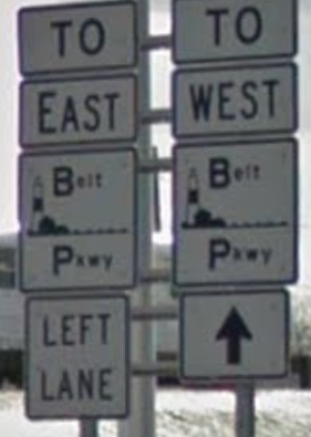
The Belt Parkway is the name given to a series of controlled-access highway, controlled-access Parkways in New York, parkways that form a belt-like circle around the Borough (New York City), New York City boroughs of Brooklyn and Queens. The Belt Parkway comprises three of the four parkways in what is known as the Belt System: the Shore Parkway, the Southern Parkway (not to be confused with the Southern State Parkway), and the Laurelton Parkway. The three parkways in the Belt Parkway are a combined in length. The Cross Island Parkway makes up the fourth parkway in the system, but is signed separately. Route description The Shore Parkway, Southern Parkway, Laurelton Parkway, and Cross Island Parkway are collectively known as the "Belt System". The four components of the Belt System are designated as New York State Route 907C (NY 907C), NY 907D, NY 907B, and NY 907A, respectively, by the New York State Department of Transportation. All four numbers are refe ... [...More Info...] [...Related Items...] OR: [Wikipedia] [Google] [Baidu] |
Verrazzano-Narrows Bridge
The Verrazzano-Narrows Bridge ( ; also referred to as the Narrows Bridge, the Verrazzano Bridge, and simply the Verrazzano) is a suspension bridge connecting the boroughs of Staten Island and Brooklyn in New York City, United States. It spans the Narrows, a body of water linking the relatively enclosed New York Harbor with Lower New York Bay and the Atlantic Ocean. It is the only fixed crossing of the Narrows. The double-deck bridge carries 13 lanes of Interstate 278: seven on the upper level and six on the lower level. The span is named for Giovanni da Verrazzano, who in 1524 was the first European explorer to enter New York Harbor and the Hudson River. Engineer David B. Steinman proposed a bridge across the Narrows in the late 1920s, but plans were deferred over the next twenty years. A 1920s attempt to build a Staten Island Tunnel was aborted, as was a 1930s plan for vehicular tubes underneath the Narrows. Discussion of a tunnel resurfaced in the mid-1930s and early ... [...More Info...] [...Related Items...] OR: [Wikipedia] [Google] [Baidu] |
Long Island
Long Island is a densely populated continental island in southeastern New York (state), New York state, extending into the Atlantic Ocean. It constitutes a significant share of the New York metropolitan area in both population and land area. The island extends from New York Harbor eastward into the ocean with a maximum north–south width of . With a land area of , it is the List of islands of the United States by area, largest island in the contiguous United States. Long Island is divided among four List of counties in New York, counties, with Brooklyn, Kings (Brooklyn), Queens, and Nassau County, New York, Nassau counties occupying its western third and Suffolk County, New York, Suffolk County its eastern two-thirds. It is an ongoing topic of debate whether or not Brooklyn and Queens are considered part of Long Island. Geographically, both Kings and Queens county are located on the Island, but some argue they are culturally separate from Long Island. Long Island may ref ... [...More Info...] [...Related Items...] OR: [Wikipedia] [Google] [Baidu] |
Woodhaven Boulevard
Woodhaven Boulevard and Cross Bay Boulevard (formerly Jamaica Bay Boulevard) are two parts of a major boulevard in the New York City borough of Queens. Woodhaven Boulevard runs roughly north–south in the central portion of Queens. South of Liberty Avenue, it is known as Cross Bay Boulevard, which is the main north–south road in Howard Beach. Cross Bay Boulevard is locally known as simply "Cross Bay", and Woodhaven Boulevard, "Woodhaven". The completion of the boulevard in 1923, together with the construction of the associated bridges over Jamaica Bay, created the first direct roadway connection to the burgeoning Atlantic Ocean beachfront communities of the Rockaway Peninsula from Brooklyn and most of Queens. The road is part of the New York City Arterial System, having formerly been given the unsigned reference route designation of New York State Route 908V (NY 908V). However, the reference route has not been listed in NYSDOT documents since April 2005, ... [...More Info...] [...Related Items...] OR: [Wikipedia] [Google] [Baidu] |
Kings Highway (Brooklyn)
Kings Highway is a broad avenue that curves about the southern part of the Borough of Brooklyn in New York City. Its west end is at Bay Parkway (Brooklyn), Bay Parkway and 78th Street. East of Ocean Avenue (Brooklyn), Ocean Avenue, the street is largely residential. It tracks eastward, then northeast, then north through Brooklyn and reaches East 98th Street in central Brooklyn. At that point, it flows into Howard Avenue to provide seamless access to Eastern Parkway, another major road in Brooklyn with side medians and service roads. A Business Improvement District has been established along part of the road to support stores, restaurants and businesses in that area. History Originally an Indian trail, the strip was known as "Mechawanienck" or "the ancient pathway", a name recorded in a 1652 deed. It was later known as the "wagon path" in a 1682 deed. Although not entirely built in 1704, "King's Highway (Charleston to Boston), King's Highway" was formed in colonial New York ... [...More Info...] [...Related Items...] OR: [Wikipedia] [Google] [Baidu] |


