|
Limassol Salt Lake
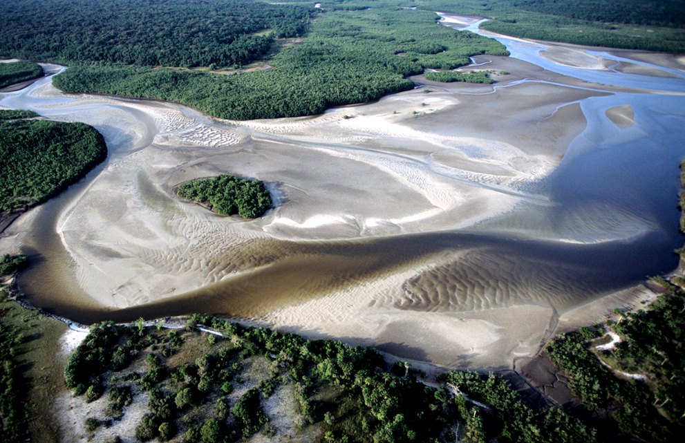
Limassol Salt Lake (; also known as Akrotiri Salt Lake, ) is the largest inland body of water on the island of Cyprus. It is located in Akrotiri and Dhekelia, administered as a Sovereign Base Area; specifically in the Western Sovereign Base Area. It lies due south-west of the sprawling city of Limassol and measures . According to a BirdLife (Cyprus) booklet, its lowest point is below sea level, and at its deepest point the water depth measures about one meter. A study mentions that the maximum depth of the salt lake reaches 2.8 m below mean sea level in the winter. A BirdLife International entry for an area including the lake gives the minimum elevation of that area as 0 m. Geologists hypothesize the lake was formed over the gradual joining of an offshore islet off the southern coast of Cyprus. The lake dries out in the summer. Ecology The lake itself is considered to be one of the eastern Mediterranean region’s most important wetlands. The shallowness of the lake (more ... [...More Info...] [...Related Items...] OR: [Wikipedia] [Google] [Baidu] |
Limassol
Limassol, also known as Lemesos, is a city on the southern coast of Cyprus and capital of the Limassol district. Limassol is the second-largest urban area in Cyprus after Nicosia, with an urban population of 195,139 and a district population of 262,238. The Limassol municipality is the most populated in Cyprus, with a population of 108,105, followed by Strovolos in Nicosia. Limassol was built between two ancient Greek cities, Amathus and Kourion. Its historical centre is located around the medieval Limassol Castle and the Old Port. Today the city spreads along the Mediterranean coast and has extended much farther than the castle and port, with its suburbs stretching along the coast to Amathus. To the west of the city is Akrotiri, one of the two British Overseas Territories of Akrotiri and Dhekelia on the island. In 2014, Limassol was ranked by TripAdvisor as the 3rd up-and-coming destination in the world, in its Top 10 Traveler's Choice Destinations on the Rise list. In ... [...More Info...] [...Related Items...] OR: [Wikipedia] [Google] [Baidu] |
Ramsar Convention
The Ramsar Convention on Wetlands of International Importance Especially as Waterfowl Habitat is an international treaty for the conservation and sustainable use of Ramsar site, Ramsar sites (wetlands). It is also known as the Convention on Wetlands. It is named after the city of Ramsar, Mazandaran, Ramsar in Iran, where the convention was signed in 1971. Every three years, representatives of the contracting parties meet as the Ramsar Convention#Conference of the Contracting Parties, Conference of the Contracting Parties (COP), the policy-making organ of the wetland conservation, convention which adopts decisions (site designations, resolutions and recommendations) to administer the work of the convention and improve the way in which the parties are able to implement its objectives. In 2022, COP15 was held in Montreal, Canada. List of wetlands of international importance The list of wetlands of international importance included 2,531 Ramsar site, Ramsar sites in Februa ... [...More Info...] [...Related Items...] OR: [Wikipedia] [Google] [Baidu] |
Cyprus
Cyprus (), officially the Republic of Cyprus, is an island country in the eastern Mediterranean Sea. Situated in West Asia, its cultural identity and geopolitical orientation are overwhelmingly Southeast European. Cyprus is the List of islands in the Mediterranean, third largest and third most populous island in the Mediterranean, after Sicily and Sardinia. It is located southeast of Greece, south of Turkey, west of Syria and Lebanon, northwest of Israel and Palestine, and north of Egypt. Its capital and largest city is Nicosia. Cyprus hosts the British Overseas Territories, British military bases Akrotiri and Dhekelia, whilst the northeast portion of the island is ''de facto'' governed by the self-declared Northern Cyprus, Turkish Republic of Northern Cyprus, which is separated from the Republic of Cyprus by the United Nations Buffer Zone in Cyprus, United Nations Buffer Zone. Cyprus was first settled by hunter-gatherers around 13,000 years ago, with farming communities em ... [...More Info...] [...Related Items...] OR: [Wikipedia] [Google] [Baidu] |
Akrotiri And Dhekelia
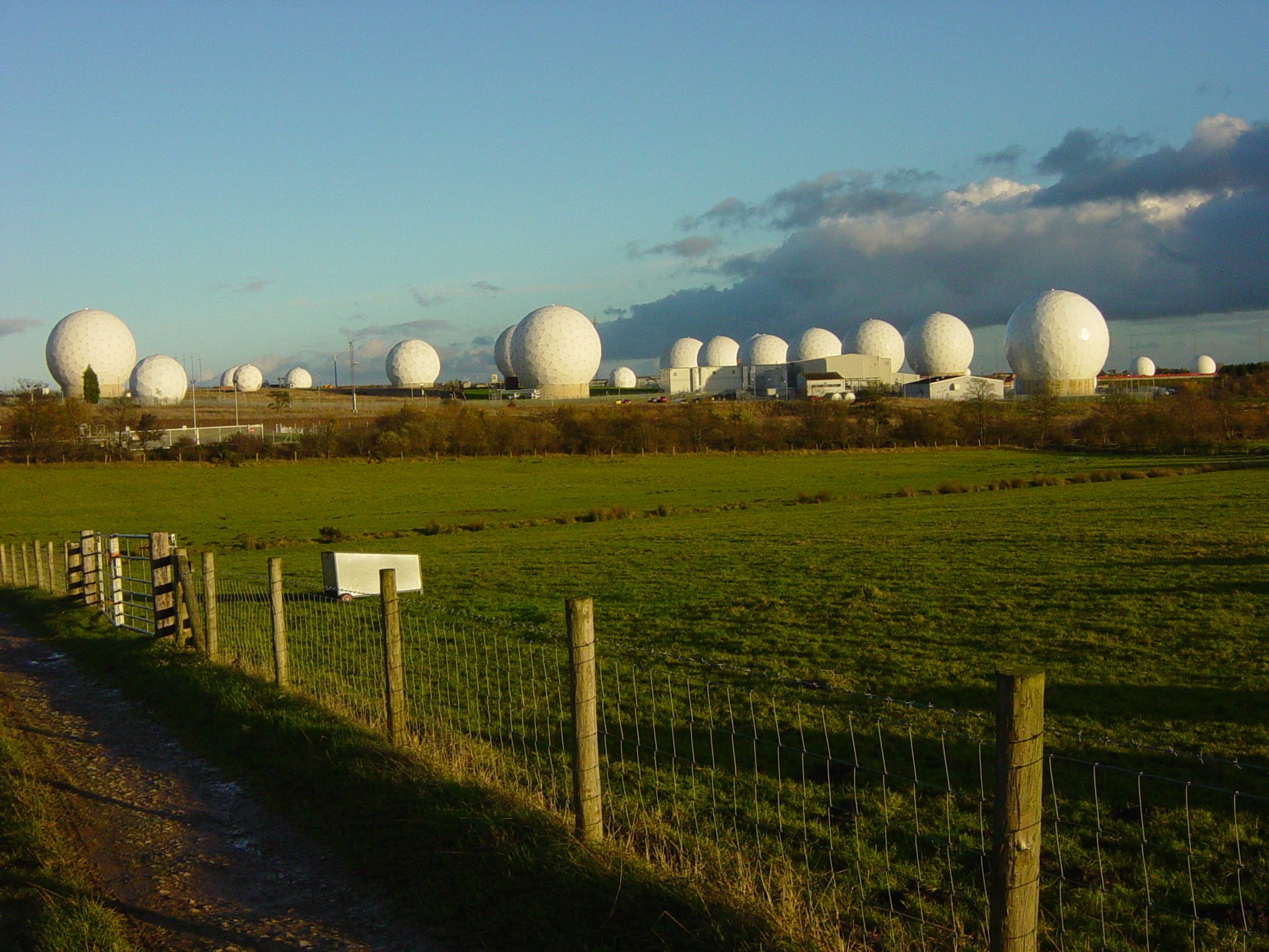
Akrotiri and Dhekelia (), officially the Sovereign Base Areas of Akrotiri and Dhekelia (SBA), is a British Overseas Territories, British Overseas Territory made of two non-contiguous areas on the island of Geography of Cyprus, Cyprus. The areas, which include Overseas military bases of the United Kingdom, British military bases and installations that were formerly part of the British Cyprus, Crown colony of Cyprus, were retained by the British under the Treaty of Guarantee (1960), 1960 treaty of independence signed by the United Kingdom, Greece, Turkey, the President of Cyprus and the representative of the Turkish Cypriot community. The territory serves as a station for signals intelligence and is thereby part of the United Kingdom's surveillance-gathering work in the Mediterranean and the Middle East. Despite being under British control, Akrotiri and Dhekelia are integrated with the surrounding Cypriot communities and economies. The areas are notable for their strategic geopo ... [...More Info...] [...Related Items...] OR: [Wikipedia] [Google] [Baidu] |
Sovereign Base Area
Akrotiri and Dhekelia (), officially the Sovereign Base Areas of Akrotiri and Dhekelia (SBA), is a British Overseas Territory made of two non-contiguous areas on the island of Cyprus. The areas, which include British military bases and installations that were formerly part of the Crown colony of Cyprus, were retained by the British under the 1960 treaty of independence signed by the United Kingdom, Greece, Turkey, the President of Cyprus and the representative of the Turkish Cypriot community. The territory serves as a station for signals intelligence and is thereby part of the United Kingdom's surveillance-gathering work in the Mediterranean and the Middle East. Despite being under British control, Akrotiri and Dhekelia are integrated with the surrounding Cypriot communities and economies. The areas are notable for their strategic geopolitical value and rich environmental features, including the Akrotiri Salt Lake, a protected wetland. Education, policing, and healthcare ... [...More Info...] [...Related Items...] OR: [Wikipedia] [Google] [Baidu] |
Greater Flamingo
The greater flamingo (''Phoenicopterus roseus'') is the most widespread and largest species of the flamingo family. Common in the Old World, they are found in Northern (coastal) and Sub-Saharan Africa, the Indian Subcontinent (south of the Himalayas), the Middle East, the Levant, the Persian Gulf, the Gulf of Aden, the Red Sea, and the Mediterranean countries of Southern Europe. Taxonomy The greater flamingo was described by Peter Simon Pallas in 1811. It was previously thought to be the same species as the American flamingo (''Phoenicopterus ruber''), but because of coloring differences of its head, neck, body, and bill, the two flamingos are now most commonly considered separate species. The greater flamingo has no subspecies and is therefore monotypic. Description The greater flamingo is the largest living species of flamingo, averaging tall and weighing . The largest male flamingos have been recorded to be up to tall and to weigh . Most of the plumage is pinkish-whit ... [...More Info...] [...Related Items...] OR: [Wikipedia] [Google] [Baidu] |
Signals Intelligence
Signals intelligence (SIGINT) is the act and field of intelligence-gathering by interception of ''signals'', whether communications between people (communications intelligence—abbreviated to COMINT) or from electronic signals not directly used in communication (electronic intelligence—abbreviated to ELINT). As classified and sensitive information is usually encrypted, signals intelligence may necessarily involve cryptanalysis (to decipher the messages). Traffic analysis—the study of who is signaling to whom and in what quantity—is also used to integrate information, and it may complement cryptanalysis. History Origins Electronic interceptions appeared as early as 1900, during the Boer War of 1899–1902. The British Royal Navy had installed wireless sets produced by Marconi on board their ships in the late 1890s, and the British Army used some limited wireless signalling. The Boers captured some wireless sets and used them to make vital transmissions. Since the ... [...More Info...] [...Related Items...] OR: [Wikipedia] [Google] [Baidu] |
Middle East
The Middle East (term originally coined in English language) is a geopolitical region encompassing the Arabian Peninsula, the Levant, Turkey, Egypt, Iran, and Iraq. The term came into widespread usage by the United Kingdom and western European nations in the early 20th century as a replacement of the term Near East (both were in contrast to the Far East). The term "Middle East" has led to some confusion over its changing definitions. Since the late 20th century, it has been criticized as being too Eurocentrism, Eurocentric. The region includes the vast majority of the territories included in the closely associated definition of West Asia, but without the South Caucasus. It also includes all of Egypt (not just the Sinai Peninsula, Sinai) and all of Turkey (including East Thrace). Most Middle Eastern countries (13 out of 18) are part of the Arab world. The list of Middle Eastern countries by population, most populous countries in the region are Egypt, Turkey, and Iran, whil ... [...More Info...] [...Related Items...] OR: [Wikipedia] [Google] [Baidu] |
Cyprus Mail
The ''Cyprus Mail'' is the only English-language daily newspaper published in Cyprus. Established in 1945, it is published every day except Monday, and most of the local articles are available on its website. History With the demise of the '' Cyprus Times'' in 1960, the ''Cyprus Mail'' remained the only English-language newspaper in Cyprus until the establishment of the '' Cyprus Weekly'' in 1979. Despite claiming to take an independent political position and to have no local political affiliations, it is widely regarded as a politically conservative and right-leaning publication. In its early years, the ''Cyprus Mail'' was the main rival to the ''Cyprus Times'', another English-language newspaper founded in Cyprus during the period of British rule. At that time, the ''Cyprus Mail'' was seen as more right-wing than the left-leaning ''Cyprus Times'', especially in its tendency to oppose the unification of Cyprus with Greece. Due to this, it was disliked by Greek-Cypriots and ... [...More Info...] [...Related Items...] OR: [Wikipedia] [Google] [Baidu] |
Geography Of Akrotiri And Dhekelia
Akrotiri and Dhekelia (), officially the Sovereign Base Areas of Akrotiri and Dhekelia (SBA), is a British Overseas Territory made of two non-contiguous areas on the island of Cyprus. The areas, which include British military bases and installations that were formerly part of the Crown colony of Cyprus, were retained by the British under the 1960 treaty of independence signed by the United Kingdom, Greece, Turkey, the President of Cyprus and the representative of the Turkish Cypriot community. The territory serves as a station for signals intelligence and is thereby part of the United Kingdom's surveillance-gathering work in the Mediterranean and the Middle East. Despite being under British control, Akrotiri and Dhekelia are integrated with the surrounding Cypriot communities and economies. The areas are notable for their strategic geopolitical value and rich environmental features, including the Akrotiri Salt Lake, a protected wetland. Education, policing, and healthcare ... [...More Info...] [...Related Items...] OR: [Wikipedia] [Google] [Baidu] |


