|
Lha’gyai
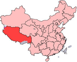
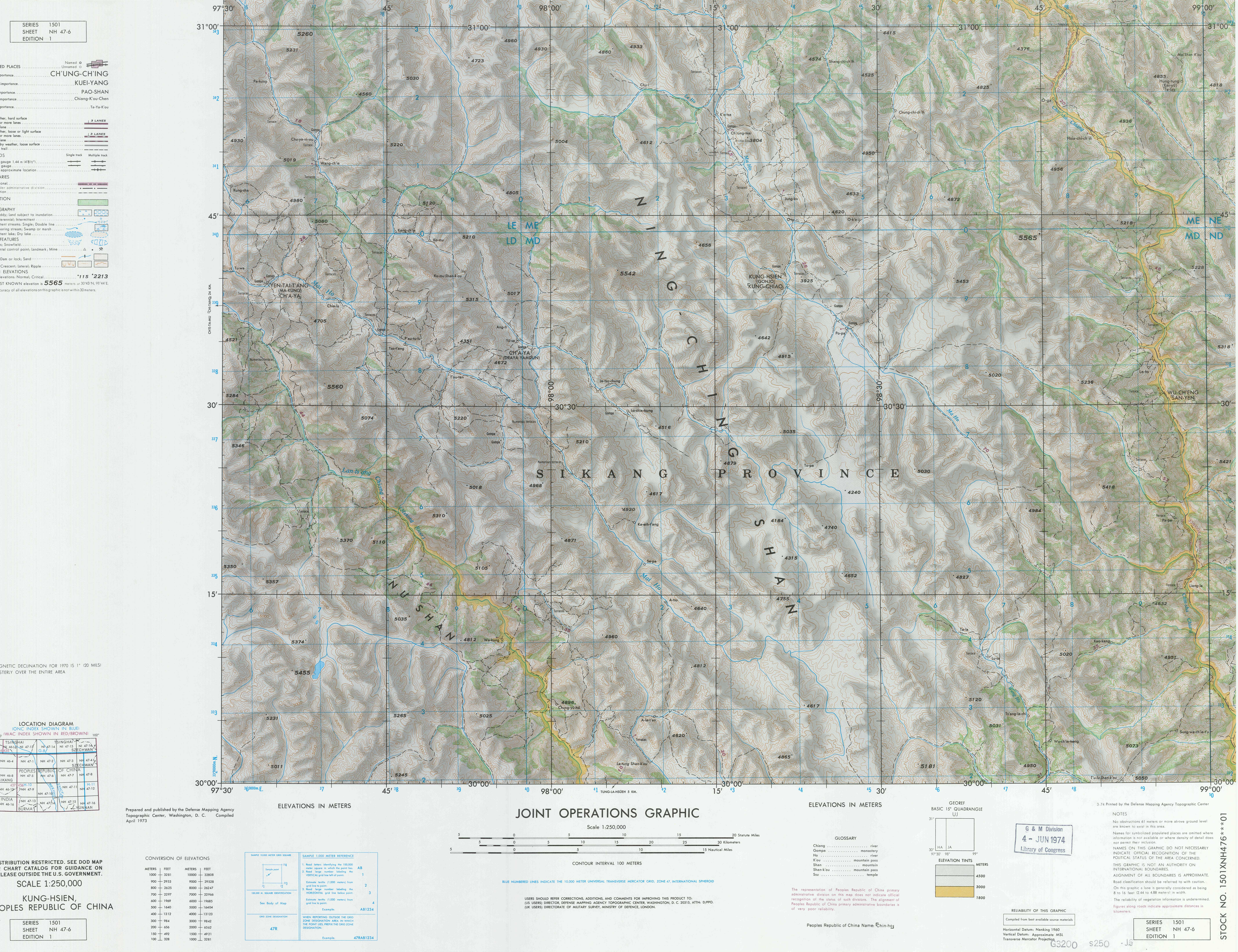
Lha'gyai (ལྷ་རྒྱལ་, zh, 哈加乡 ''Hajia'') is a township in Gonjo County, Tibet Autonomous Region of China. See also *List of towns and villages in Tibet An alphabetical list of populated places, including cities, towns, and villages, in the Tibet Autonomous Region of western China. A *Alamdo *Alhar *Arza *Asog B *Baga, Tibet, Baga *Bagar *Baidi, Nagarzê County, Baidi *Baima *Baimai *Bai ... Populated places in Tibet {{Chamdo-geo-stub ... [...More Info...] [...Related Items...] OR: [Wikipedia] [Google] [Baidu] |
List Of Towns And Villages In Tibet
An alphabetical list of populated places, including cities, towns, and villages, in the Tibet Autonomous Region of western China. A *Alamdo *Alhar *Arza *Asog B *Baga, Tibet, Baga *Bagar *Baidi, Nagarzê County, Baidi *Baima *Baimai *Baixoi *Bamda *Banag *Banbar *Banggaidoi *Bangkor *Bangru *Bangxing *Baqên Town, Baqên *Bar *Bêba *Bei *Bênqungdo *Bilung *Birba *Biru Town, Biru *Bogkamba *Boindoi *Bolo, Gonjo County, Bolo *Bongba *Boqê *Bumgyê *Bungona’og *Bünsum *Burang Town, Burang *Bushêngcaka C *Caina Township, Caina *Cakaxiang *Camco *Cawarong *Cazê *Cêgnê *Cêngdo *Cêri *Cêrwai *Chabug *Chacang *Chagla *Chagna *Chagyoi *Cha’gyüngoinba *Chalükong *Chamco *Chamda *Chamoling *Changgo *Changlung *Changmar *Charing *Chatang *Chawola *Chêcang *Chênggo *Chepzi *Chibma *Chido *Chigu *Chongkü *Chongsar *Chowa *Chubalung *Chubarong *Chuka *Chumba *Chumbu *Chunduixiang *Co Nyi *Cocholung *Codoi, Tibet, Codoi *Cogo, Tibet, Cogo *Coka, Tibet, Coka *Comai * ... [...More Info...] [...Related Items...] OR: [Wikipedia] [Google] [Baidu] |
Gonjo County
Gonjo County (; ) is a county of the Chamdo Prefecture in the east of the Tibet Autonomous Region, China, bordering Sichuan province to the east. Administrative divisions Gonjo County is divided in 1 town and 11 townships A township is a form of human settlement or administrative subdivision. Its exact definition varies among countries. Although the term is occasionally associated with an urban area, this tends to be an exception to the rule. In Australia, Canad .... References Counties of Tibet Chamdo {{Qamdo-geo-stub ... [...More Info...] [...Related Items...] OR: [Wikipedia] [Google] [Baidu] |
Tibet Autonomous Region
The Tibet Autonomous Region (TAR), often shortened to Tibet in English or Xizang in Pinyin, Hanyu Pinyin, is an Autonomous regions of China, autonomous region of the China, People's Republic of China. It was established in 1965 to replace the Tibet Area (administrative division), Tibet Area, a former administrative division of the Republic of China (1912–1949), Republic of China. The current borders of the Tibet Autonomous Region were generally established in the 18th century and include about half of Tibet, cultural Tibet, which was at times independent and at times under Mongol or Chinese rule. The TAR spans more than and is the second-largest Administrative divisions of China, province-level division of China by area. Due to its harsh and rugged terrain, it has a total population of only 3.6 million people or approximately . Names and etymologies Tibet Autonomous Region is often shortened to Tibet in English or Xizang in Hanyu Pinyin. The earliest official record of the ... [...More Info...] [...Related Items...] OR: [Wikipedia] [Google] [Baidu] |
China
China, officially the People's Republic of China (PRC), is a country in East Asia. With population of China, a population exceeding 1.4 billion, it is the list of countries by population (United Nations), second-most populous country after India, representing 17.4% of the world population. China spans the equivalent of five time zones and Borders of China, borders fourteen countries by land across an area of nearly , making it the list of countries and dependencies by area, third-largest country by land area. The country is divided into 33 Province-level divisions of China, province-level divisions: 22 provinces of China, provinces, 5 autonomous regions of China, autonomous regions, 4 direct-administered municipalities of China, municipalities, and 2 semi-autonomous special administrative regions. Beijing is the country's capital, while Shanghai is List of cities in China by population, its most populous city by urban area and largest financial center. Considered one of six ... [...More Info...] [...Related Items...] OR: [Wikipedia] [Google] [Baidu] |


