|
Leeuwin Ecoregion
The Southwest Shelf Province, also known as the Leeuwin marine ecoregion, is a biogeographic region of Australia's continental shelf. It includes the temperate coastal waters of Southwest Australia. Geography The Southwest Shelf Province includes the coastal waters and continental shelf of south west Western Australia, extending from the vicinity of Perth on the west coast to Israelite Bay on the south coast. The continental shelf is generally narrow, with some small offshore islets, including the Recherche Archipelago. The coastline is affected by heavy, high-energy swells. Rocky headlands of granitic, doleritic, or gneissic rock are found along much of the coast, interspersed with curving bays and sandy beaches. Seagrass meadows are found in sheltered bays and inlets. The warm Leeuwin Current runs southwards along the west coast, and turns eastwards to follow the south coast. A colder inshore counter-current runs northwards along the west coast. The Southwest Shelf Transitio ... [...More Info...] [...Related Items...] OR: [Wikipedia] [Google] [Baidu] |
IMCRA 4
The Integrated Marine and Coastal Regionalisation of Australia (IMCRA), formerly the Interim Marine and Coastal Regionalisation for Australia, is a biogeographic regionalisation of the oceanic waters of Australia's exclusive economic zone (EEZ). As of 2008, the most recent version is IMCRA Version 4.0. IMCRA actually defines two bioregionalisations: a benthic bioregionalisation, based on biogeography of fish together with geophysical data; and a pelagic bioregionalisation, base on oceanographic characteristics. The benthic bioregionalisation incorporates three separate regionalisations: #A regionalisation of the EEZ into provincial bioregions, based on the biogeography of bottom dwelling fishes. In IMCRA 4.0, 41 provincial bioregions, consisting of 24 ''provinces'' and 17 ''transitions''. #A regionalisation of the continental shelf into ''meso-scale regions'' based on biological and physical characters, and the distance from the coast. In IMCRA 4.0 there are 60 meso-scale ... [...More Info...] [...Related Items...] OR: [Wikipedia] [Google] [Baidu] |
Leeuwin Current
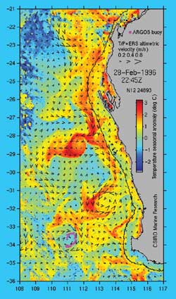
The Leeuwin Current is a warm ocean current which flows southwards near the western coast of Australia. It rounds Cape Leeuwin to enter the waters south of Australia where its influence extends as far as Tasmania. Discovery The existence of the current was first suggested by William Saville-Kent in 1897. Saville-Kent noted the presence of warm tropical water offshore in the Houtman Abrolhos, making the water there in winter much warmer than inshore at the adjacent coast. The existence of the current was confirmed over the years, but not characterised and named until Cresswell and Golding did so in the 1980s. Track The West Australian Current and Southern Australian Countercurrent, which are produced by the West Wind Drift on the southern Indian Ocean and at Tasmania, respectively, flow in the opposite direction, producing one of the most interesting oceanic current systems in the world. The ‘core’ of the Leeuwin Current can generally be detected as a peak in the surfac ... [...More Info...] [...Related Items...] OR: [Wikipedia] [Google] [Baidu] |
Marine Ecoregions
A marine ecoregion is an ecoregion, or ecological region, of the oceans and seas identified and defined based on biogeographic characteristics. Introduction A more complete definition describes them as “Areas of relatively homogeneous species composition, clearly distinct from adjacent systems” dominated by “a small number of ecosystems and/or a distinct suite of oceanographic or topographic features”. Ecologically they “are strongly cohesive units, sufficiently large to encompass ecological or life history processes for most sedentary species.”Spalding, Mark D., Helen E. Fox, Gerald R. Allen, Nick Davidson et al. "Marine Ecoregions of the World: A Bioregionalization of Coastal and Shelf Areas". Bioscience Vol. 57 No. 7, July/August 2007, pp. 573–58/ref> Marine Ecoregions of the World—MEOW The global classification system Marine Ecoregions of the World—MEOW was devised by an international team, including major conservation organizations, academic institutions a ... [...More Info...] [...Related Items...] OR: [Wikipedia] [Google] [Baidu] |
Ecoregions Of Australia
Ecoregions in Australia are geographically distinct plant and animal communities, defined by the World Wide Fund for Nature based on geology, soils, climate, and predominant vegetation. The World Wide Fund for Nature (WWF) identified 825 terrestrial ecoregions that cover the Earth's land surface, 40 of which cover Australia and its dependent islands. The WWF ecoregions are classified by biome type (tropical and subtropical moist broadleaf forests, temperate grasslands, savannas, and shrublands, tundra, etc.), and into one of eight terrestrial realms. Australia, together with New Zealand, New Guinea and neighboring island groups, is part of the Australasian realm. The IBRA bioregions informed the delineation of the WWF ecoregions for Australia, and the WWF ecoregions generally follow the same ecoregion boundaries, while often clustering two or more similar bioregions into a larger ecoregion. The ecoregion articles in Wikipedia generally follow the WWF scheme. The WWF ecoregion ... [...More Info...] [...Related Items...] OR: [Wikipedia] [Google] [Baidu] |
Biogeography Of Western Australia
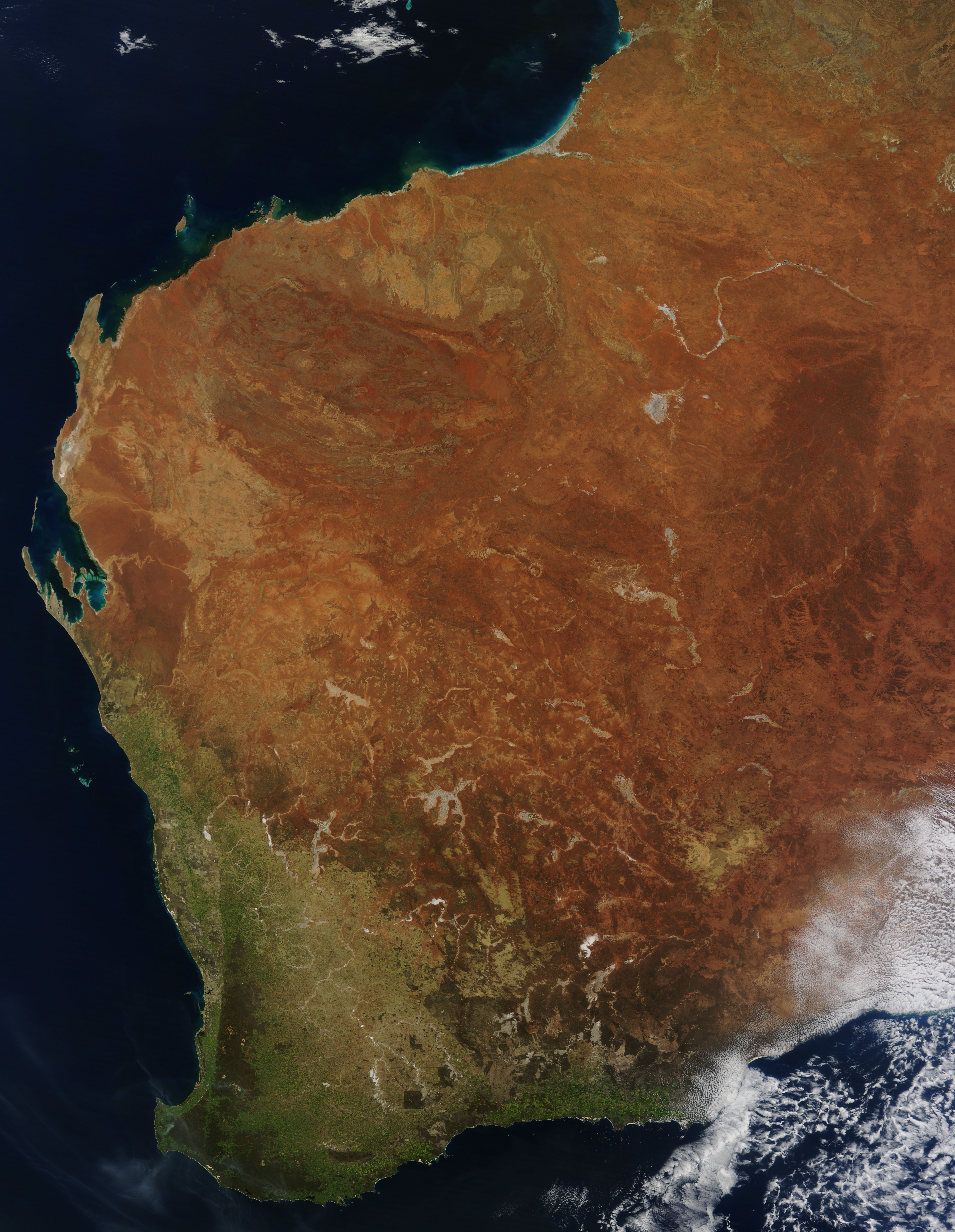
Western Australia occupies nearly one third of the Australian continent. Due to the size and the isolation of the state, considerable emphasis has been made of these features; it is the second largest administrative territory in the world, after Yakutia in Russia, despite the fact that Australia is only the sixth largest country in the world by area, and no other regional administrative jurisdiction in the world occupies such a high percentage of a continental land mass. It is also the only first level administrative subdivision to occupy the entire continental coastline in one cardinal direction. Its capital city, Perth, is also considered to be amongst the world's most isolated, being closer to Jakarta in Indonesia, than to the Australian national capital in Canberra. Introduction Western Australia's geology has components that are considered some of the oldest and most recent. The oldest minerals of the world have been discovered at the Jack Hills, and the Yilgarn ... [...More Info...] [...Related Items...] OR: [Wikipedia] [Google] [Baidu] |
Wellstead, Western Australia
Wellstead is a small rural town situated in Western Australia in the Great Southern region between Albany and Esperance. The name commemorates the Wellstead family who settled in the area in 1860 and had held grazing land between Cape Riche and Bremer Bay. Farmland was opened up in the area in the 1960s for cereal cropping and land was set aside for a town site. The town site was gazetted in 1965 shortly after establishing a telephone exchange. John Wellstead still lived in the area in 1881 and sold 700 head of cattle via the market in Albany early the same year. He died in Albany in 1896 but his sons, including John Jr., continued the family pastoral interests in the area. The surrounding areas produce wheat and other cereal A cereal is any Poaceae, grass cultivated for the edible components of its grain (botanically, a type of fruit called a caryopsis), composed of the endosperm, Cereal germ, germ, and bran. Cereal Grain, grain crops are grown in greater quant ... [...More Info...] [...Related Items...] OR: [Wikipedia] [Google] [Baidu] |
Integrated Marine And Coastal Regionalisation Of Australia
The Integrated Marine and Coastal Regionalisation of Australia (IMCRA), formerly the Interim Marine and Coastal Regionalisation for Australia, is a biogeographic regionalisation of the oceanic waters of Australia's exclusive economic zone (EEZ). As of 2008, the most recent version is IMCRA Version 4.0. IMCRA actually defines two bioregionalisations: a benthic bioregionalisation, based on biogeography of fish together with geophysical data; and a pelagic bioregionalisation, base on oceanographic characteristics. The benthic bioregionalisation incorporates three separate regionalisations: #A regionalisation of the EEZ into provincial bioregions, based on the biogeography of bottom dwelling fishes. In IMCRA 4.0, 41 provincial bioregions, consisting of 24 ''provinces'' and 17 ''transitions''. #A regionalisation of the continental shelf into ''meso-scale regions'' based on biological and physical characters, and the distance from the coast. In IMCRA 4.0 there are 60 meso-scale ... [...More Info...] [...Related Items...] OR: [Wikipedia] [Google] [Baidu] |
Great Australian Bight
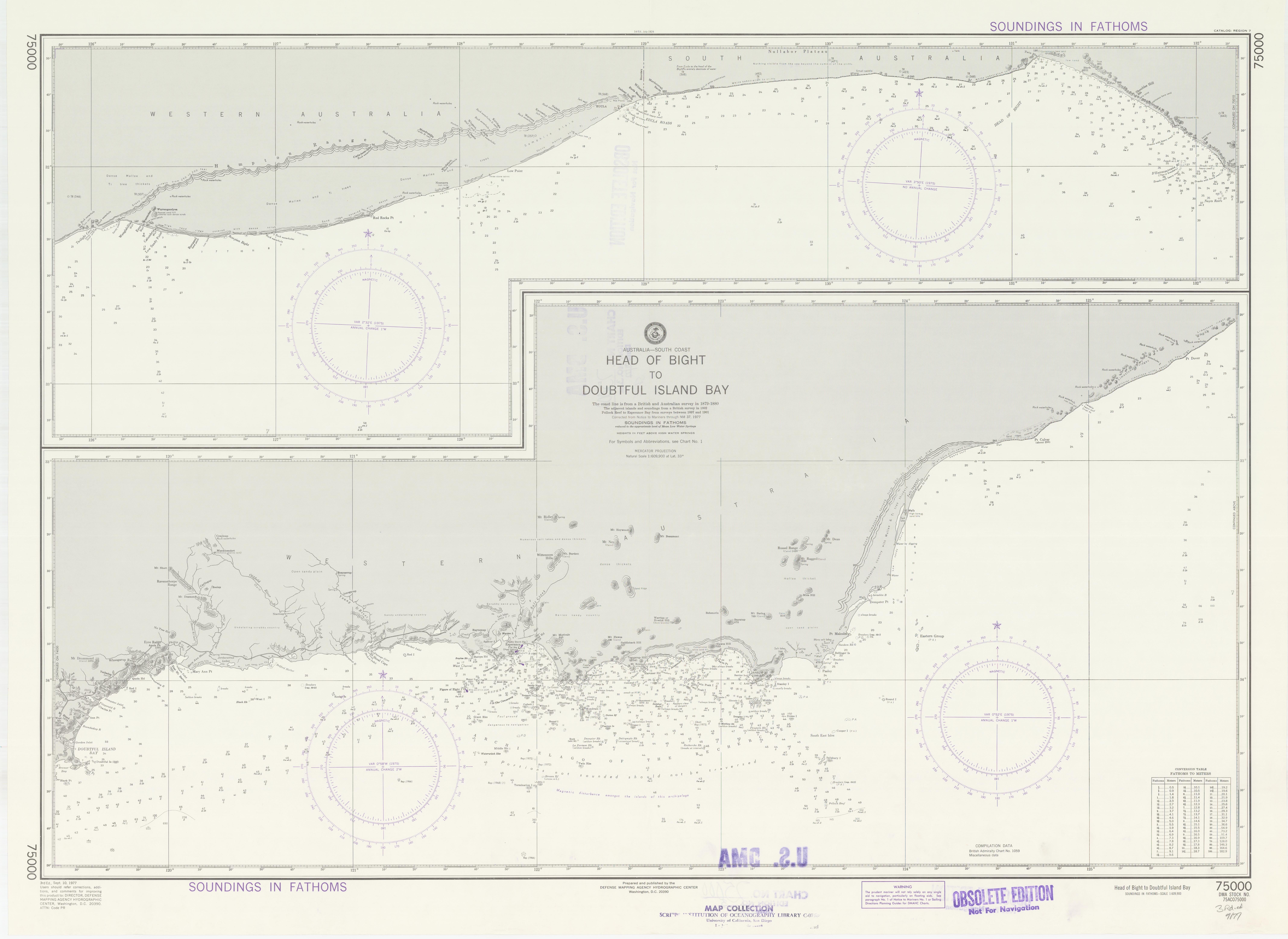
The Great Australian Bight is a large oceanic bight, or open bay, off the central and western portions of the southern coastline of mainland Australia. Extent Two definitions of the extent are in use – one used by the International Hydrographic Organization (IHO) and the other used by the Australian Hydrographic Service (AHS). The IHO defines the Great Australian Bight as having the following limits: ''On the North.'' The south coast of the Australian mainland. ''On the South.'' A line joining West Cape Howe () Australia to South West Cape, Tasmania. ''On the East.'' A line from Cape Otway, Victoria to King Island and thence to Cape Grim, the northwest extreme of Tasmania. The AHS defines the bight with a smaller area, from Cape Pasley, Western Australia, to Cape Carnot, South Australia - a distance of . Much of the bight lies due south of the expansive Nullarbor Plain, which straddles South Australia and Western Australia. The Eyre Highway passes close to t ... [...More Info...] [...Related Items...] OR: [Wikipedia] [Google] [Baidu] |
Southwest Shelf Transition
The Southwest Shelf Transition, also known as the Houtman marine ecoregion, is a biogeographic region of Australia's continental shelf and coastal waters. It includes the subtropical coastal waters of Southwest Australia. Geography The Southwest Shelf Transition includes the coastal waters and continental shelf of the west coast of Western Australia, extending from Kalbarri to Perth, and including the Houtman Abrolhos archipelago. It is a transitional zone between the subtropical Central Western Shelf Province to the north, and the warm temperate Southwest Shelf Province to the south. The warm Leeuwin Current runs southwards along the coast."A Guide to the Integrated Marine and Coastal Regionalisation of Australia Version 4.0". Department of Environment and Heritage, Government of Australia. June 2006. ISBN 0 642 552274. The continental shelf is generally narrow. The coastline is affected by moderate-energy swells from the Indian Ocean. Depth ranges from zero to nearly 300 ... [...More Info...] [...Related Items...] OR: [Wikipedia] [Google] [Baidu] |
Recherche Archipelago
The Archipelago of the Recherche, known locally as the Bay of Isles, is a group of 105 islands, and over 1200 "obstacles to shipping", off the south coast of Western Australia. The islands stretch from east to west and to off-shore encompassing an area of approximately . The western group is near Esperance and the eastern group at Israelite Bay. They are located in coastal waters, part of which is designated the Recherche Archipelago Nature Reserve. History Pre-European Recherche Archipelago exhibits evidence of human occupation dated to 13,000 years ago. Archeologists have found ancient artefacts on Salisbury Island, a massive limestone remnant sitting on a granite dome offshore, that included stone blades, lizard traps, axe heads, grinding stones and granite watering holes. The objects are believed to extend up to 13,000 years before present, from a time of lower sea levels when many of the islands were joined to the mainland. European discovery and naming The isla ... [...More Info...] [...Related Items...] OR: [Wikipedia] [Google] [Baidu] |
Marine Ecoregion
A marine ecoregion is an ecoregion, or ecological region, of the oceans and seas identified and defined based on biogeographic characteristics. Introduction A more complete definition describes them as “Areas of relatively homogeneous species composition, clearly distinct from adjacent systems” dominated by “a small number of ecosystems and/or a distinct suite of oceanographic or topographic features”. Ecologically they “are strongly cohesive units, sufficiently large to encompass ecological or life history processes for most sedentary species.”Spalding, Mark D., Helen E. Fox, Gerald R. Allen, Nick Davidson et al. "Marine Ecoregions of the World: A Bioregionalization of Coastal and Shelf Areas". Bioscience Vol. 57 No. 7, July/August 2007, pp. 573–58/ref> Marine Ecoregions of the World—MEOW The global classification system Marine Ecoregions of the World—MEOW was devised by an international team, including major conservation organizations, academic institutions and ... [...More Info...] [...Related Items...] OR: [Wikipedia] [Google] [Baidu] |
South Coast Of Western Australia
The south coast of Western Australia comprises the Western Australian coastline from Cape Leeuwin to Eucla. This is a distance of approximately , fronting the Great Australian Bight and the Southern Ocean. Components The Bureau of Meteorology in forecast districts break up the south coast into four sub-regions: * Leeuwin coast (Cape Naturaliste to Walpole) * Albany coast (Walpole to Bremer Bay) * Esperance coast (Bremer Bay to Israelite Bay) * Eucla coast (Israelite Bay to Eucla) With other authorities and departments, the region is usually broken up into smaller regions, oriented to the Great Southern regional centre of Albany and, further east, Esperance. However, some sources apply "south coast" from Windy Harbour to Mount Manypeaks as the delineating points for the coast. Rainbow Coast The Rainbow Coast is a tourist region name for the coast as well. It is called the Rainbow Coast because of the fast-moving weather fronts that buffet the coast from th ... [...More Info...] [...Related Items...] OR: [Wikipedia] [Google] [Baidu] |


