|
Las Trampas Land Grant
The Las Trampas Land Grant was awarded in 1751 by the Spanish Empire, colonial government of Spain to twelve Hispano families. The community of Las Trampas, New Mexico was founded the same year. The grant consisted of of land on the western slopes of the Sangre de Cristo Mountains. The settlers served as a buffer on the frontiers of New Mexico to fend off Comanche raids. By the mid 19th century the population of the grant area had grown to about 1,500 in nine different farming and ranching settlements. The farming land in the grant was owned by individual settlers and their descendants and could be bought and sold, but most of the land in the grant area was held in common and used for grazing and timber. After the U.S. conquest of New Mexico in 1846, Anglo-American and Hispano land speculators and Lawyer, attorneys used the U.S. legal system to get ownership of the common land. In 1903, the common lands in their entirety were sold to private owners with the settlers on the grant ... [...More Info...] [...Related Items...] OR: [Wikipedia] [Google] [Baidu] |
National Forest (United States)
In the United States, national forest is a classification of protected and managed federal lands that are largely forest and woodland areas. They are owned collectively by the American people through the federal government and managed by the United States Forest Service, a division of the United States Department of Agriculture. The U.S. Forest Service is also a forestry research organization that provides financial assistance to the state and local forestry industry. There are 154 national forests in the United States. History The Land Revision Act of 1891, enacted during the presidency of Benjamin Harrison, allowed the president to set aside forest reserves on public lands. Harrison established 15 forest reserves containing more than 13 million acres of land. The bill was the result of concerted action by Los Angeles-area businessmen and property owners who were concerned by the harm being done to the watershed of the San Gabriel Mountains by ranchers and miners. A ... [...More Info...] [...Related Items...] OR: [Wikipedia] [Google] [Baidu] |
Treaty Of Guadalupe Hidalgo
The Treaty of Guadalupe Hidalgo officially ended the Mexican–American War (1846–1848). It was signed on 2 February 1848 in the town of Villa de Guadalupe, Mexico City, Guadalupe Hidalgo. After the defeat of its army and the fall of the capital in September 1847, Mexico entered into peace negotiations with the U.S. envoy, Nicholas Trist. The resulting treaty required Mexico to cede 55 percent of its territory including the present-day states of California, Nevada, Utah, most of Colorado, New Mexico and Arizona, and a small portion of Wyoming. Mexico also relinquished all claims for Texas and recognized the Rio Grande as the southern boundary of Texas. In turn, the U.S. government paid Mexico $15 million "in consideration of the extension acquired by the boundaries of the United States" and agreed to pay debts owed to American citizens by the Mexico, Mexican government. Mexico, Mexicans in areas annexed by the U.S. could relocate within Mexico's new boundaries or receive Amer ... [...More Info...] [...Related Items...] OR: [Wikipedia] [Google] [Baidu] |
Llano, New Mexico
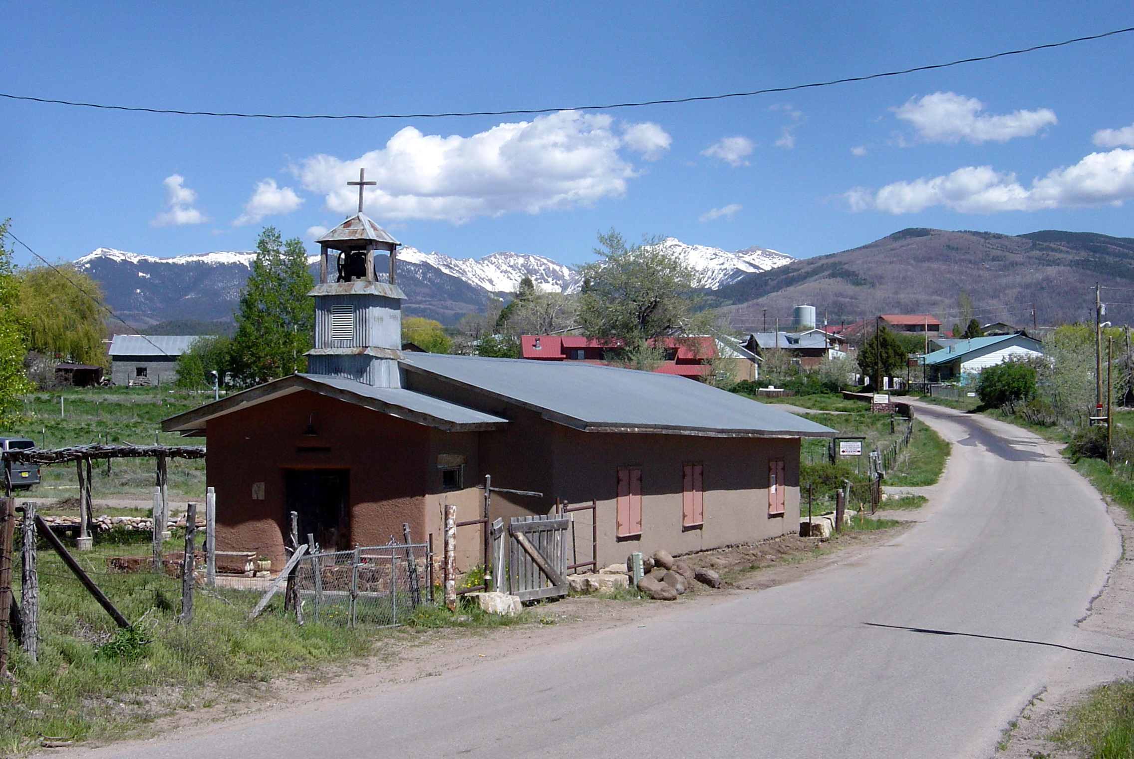
Llano, also known as Llano de San Juan is an unincorporated community located in Taos County, New Mexico, United States. The community is located on New Mexico State Road 73, south of Peñasco. Llano is located on the Las Trampas Land Grant The Las Trampas Land Grant was awarded in 1751 by the Spanish Empire, colonial government of Spain to twelve Hispano families. The community of Las Trampas, New Mexico was founded the same year. The grant consisted of of land on the western slop ... which dates back to 1751. It was founded in 1796 after governor Fernando Chacon gave permission for settlement in the valley. A post office was operated from 1898 to 1914, and was then reestablished in 1925. Llano is located about two miles from the scenic High Road to Taos in the valley of the Rio Santa Barbara on the western side of the Sangre de Cristo mountains. Gallery File:Llano de San Juan, New Mexico 1a34155v.jpg, The Catholic Church in Llano. File:Taos County, New Mexico. View ... [...More Info...] [...Related Items...] OR: [Wikipedia] [Google] [Baidu] |
Chamisal, New Mexico
Chamisal is a census-designated place (CDP) in Taos County, New Mexico. It is located along the scenic High Road to Taos. The population was 301 at the time of the 2000 census. Chamisal was founded by settlers on the Las Trampas Land Grant which dates back to 1751. Geography According to the United States Census Bureau, the CDP has a total area of , all land. Demographics As of the census of 2000, there were 301 people, 121 households, and 79 families residing in the CDP. The population density was . There were 156 housing units at an average density of . The racial makeup of the CDP was 16.28% White, 0.33% African American, 0.66% Native American, 0.33% Pacific Islander, 76.08% from other races, and 6.31% from two or more races. Hispanic or Latino of any race were 92.03% of the population. There were 121 households, out of which 26.4% had children under the age of 18 living with them, 49.6% were married couples living together, 11.6% had a female householder with no hu ... [...More Info...] [...Related Items...] OR: [Wikipedia] [Google] [Baidu] |
Ojo Sarco, New Mexico
Ojo Sarco is an unincorporated community located in Rio Arriba County, New Mexico, United States. Ojo Sarco is located in the Sangre de Cristo Mountains, from New Mexico State Road 76 and west-southwest of Las Trampas. Ojo Sarco had its own post office until June 8, 1996. Ojo Sarco was founded by settlers on the Las Trampas Land Grant which dates back to 1751. Demographics Education The southern portion is in Peñasco Independent Schools while the northern portion is in Española Public Schools. The comprehensive public high school for the Española district is Española Valley High School Española Valley High School (EVHS) is a Title-1 Public school (government funded), public senior high school of the Española Public Schools District, located in Española, New Mexico. Nearly 97% of the student body is made up of Minority group, .... References Unincorporated communities in Rio Arriba County, New Mexico Unincorporated communities in New Mexico {{NewMexic ... [...More Info...] [...Related Items...] OR: [Wikipedia] [Google] [Baidu] |
Truchas, New Mexico
Truchas is a census-designated place in Rio Arriba County, New Mexico, United States. Located along the scenic High Road to Taos, it is halfway between Santa Fe in the south, and Taos to the north. Truchas has the ZIP code 87578. The 87578 ZIP Code Tabulation Area, which includes the nearby village of Cordova, New Mexico, had a population of 560 at the 2010 census. Overview Straddling a high ridge, the community began as the Nuestra Señora del Rosario, San Fernando y Santiago del Rio de las Truchas Grant, a Spanish land grant in 1754 and, due to its geography and location, remained a relatively unchanged outpost over the centuries. The land grant is commonly known as the Truchas Land Grant, gaining its name from the river that provides the water for irrigation of the land. ''Truchas'' is the Spanish word for trout. ''Nuestra Señora del Rosario'' is also the name of the early nineteenth-century church in the center of the village. The church contains two large altar-scr ... [...More Info...] [...Related Items...] OR: [Wikipedia] [Google] [Baidu] |
Tundra
In physical geography, a tundra () is a type of biome where tree growth is hindered by frigid temperatures and short growing seasons. There are three regions and associated types of tundra: #Arctic, Arctic, Alpine tundra, Alpine, and #Antarctic, Antarctic. Tundra vegetation is composed of dwarf shrubs, Cyperaceae, sedges, Poaceae, grasses, mosses, and lichens. Scattered trees grow in some tundra regions. The ecotone (or ecological boundary region) between the tundra and the forest is known as the tree line or timberline. The tundra soil is rich in nitrogen and phosphorus. The soil also contains large amounts of biomass and decomposed biomass that has been stored as methane and carbon dioxide in the permafrost, making the tundra soil a carbon sink. As global warming heats the ecosystem and causes soil thawing, the permafrost carbon cycle accelerates and releases much of these soil-contained greenhouse gases into the atmosphere, creating Climate change feedback, a feedback cycle t ... [...More Info...] [...Related Items...] OR: [Wikipedia] [Google] [Baidu] |
Pinyon Pine
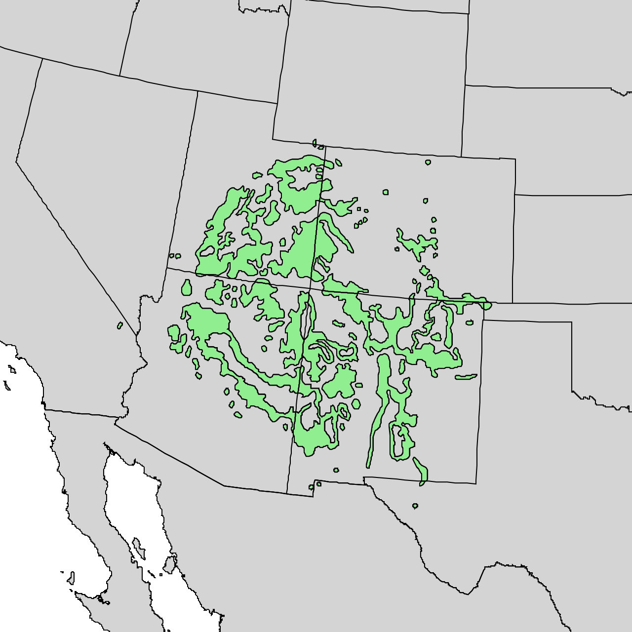
The pinyon or piñon pine group grows in southwestern North America, especially in New Mexico, Colorado, Arizona, and Utah, with the single-leaf pinyon pine just reaching into southern Idaho. The trees yield edible Pine nut, nuts, which are a staple food of Indigenous people of the Americas, Native Americans, and widely eaten as a snack and as an ingredient in New Mexican cuisine. The name comes from the Spanish ''pino piñonero'', a name used for both the American varieties and the stone pine common in Spain, which also produces edible nuts typical of Mediterranean cuisine. Harvesting techniques of the prehistoric American Indians are still used today to collect the pinyon seeds for personal use or for commercialization. The pinyon nut or seed is high in fats and calories. In the western United States, pinyon pines are often found in Pinyon–juniper woodland, pinyon–juniper woodlands. Pinyon wood, especially when burned, has a distinctive fragrance, making it a common wood to ... [...More Info...] [...Related Items...] OR: [Wikipedia] [Google] [Baidu] |
Detribalization
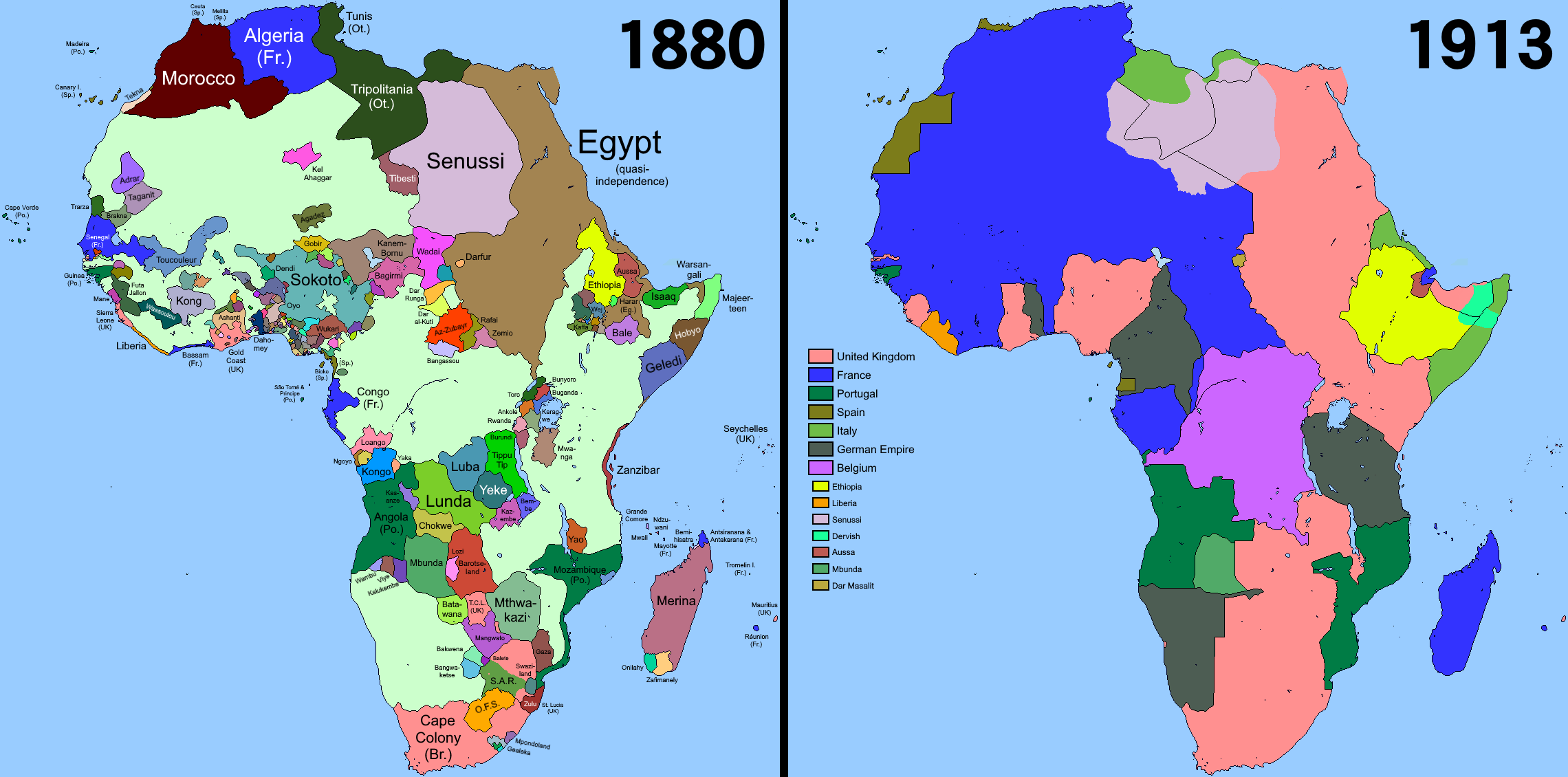
Detribalization is the process by which persons who belong to a particular indigenous ethnic identity or community are detached from that identity or community through the deliberate efforts of colonizers and/or the larger effects of colonialism. Detribalization was systematically executed by detaching members from communities outside the colony so that they could be " modernized", Westernized, and, in most circumstances, Christianized for the prosperity of the colonial state. Historical accounts illustrate several trends in detribalization, with the most prevalent being the role that Western colonial capitalists played in exploiting Indigenous people's labor, resources, and knowledge, the role that Christian missionaries and the colonial Christian mission system played in compelling Christian membership in place of Indigenous cultural and religious practices, instances of which were recorded in North America, South America, Africa, Asia, and Oceania, and the systemic conditio ... [...More Info...] [...Related Items...] OR: [Wikipedia] [Google] [Baidu] |
Genízaro
(or Genizaros) was the name for detribalized Indigenous people from the 17th to 19th century in the Spanish colony of New Mexico and neighboring regions of the American Southwest. Genízaros were usually women and children who had been captured in war by the Spanish or purchased from Indian tribes who had held them captive as slaves. To circumvent Spanish laws forbidding slavery, the purchaser (or rescuer) of a genízaro had the obligation to introduce them to Christianity and Spanish customs. Genízaros worked as indentured servants, shepherds, and laborers. They occupied the lowest rung of status-conscious Spanish society in New Mexico but slowly assimilated and intermarried into Spanish and later Mexican (1821-1846) and American (1846-present day) society. The descendants of genízaros are also called genízaros and the word has become a term of pride for the descendants of the original Indian captives and slaves. In 1793, genízaros were estimated to have comprised up to one ... [...More Info...] [...Related Items...] OR: [Wikipedia] [Google] [Baidu] |
Santa Cruz, New Mexico
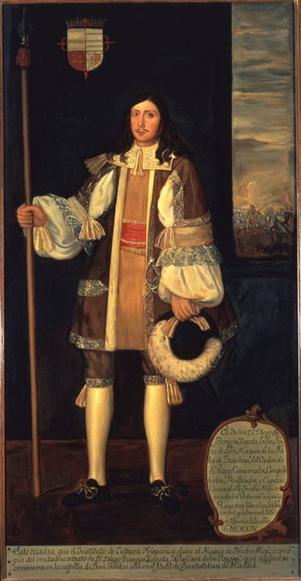
Santa Cruz, historically known as Santa Cruz de la Cañada, is a census-designated place (CDP) in Santa Fe County, New Mexico, Santa Fe County, New Mexico, United States. It is part of the Santa Fe, New Mexico Metropolitan Statistical Area. The population was 423 at the 2000 United States Census, 2000 census. History Overview The area that was later to be occupied by the village of Santa Cruz de la Cañada is located 25 miles northwest of Santa Fe, New Mexico, and a half-mile east of Española, New Mexico, at 5,655 feet AMSL, and UTM NAD 83, Z-13S, 404927E, 3983643N in the valley of the Santa Cruz River half-mile from its confluence with the Rio Grande. Upon arrival of Spanish conquistadores in 1540, the Santa Cruz area was inhabited by Tewa speakers (descendants of "Ancestral Puebloans," formerly referred to as "Anasazi"), and after Vargas' "reconquests" (of the Pueblo Revolt) of 1692 and 1696, by southern Tewa (or Tano) who had been relocated from the Galisteo Basin, 45 miles ... [...More Info...] [...Related Items...] OR: [Wikipedia] [Google] [Baidu] |


