|
Langwies
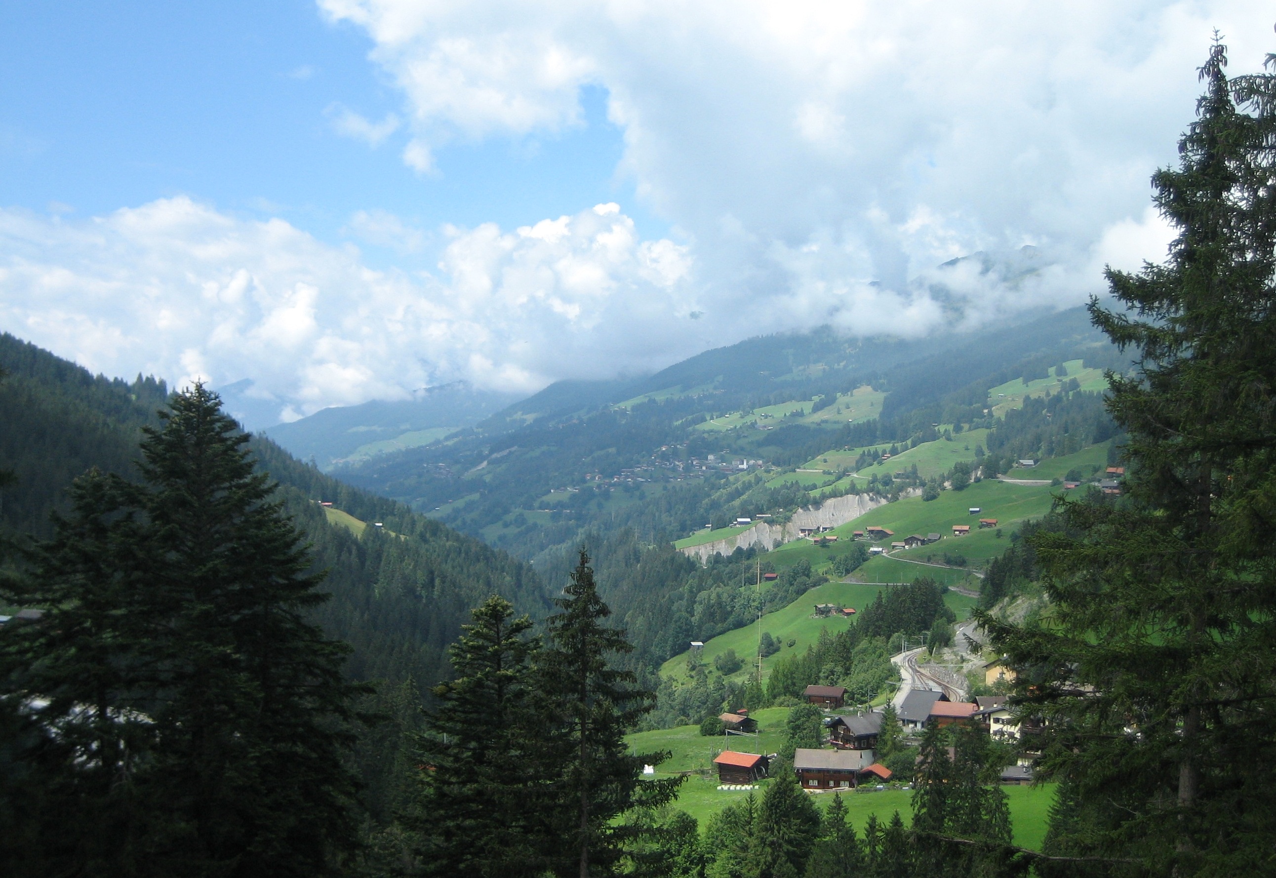
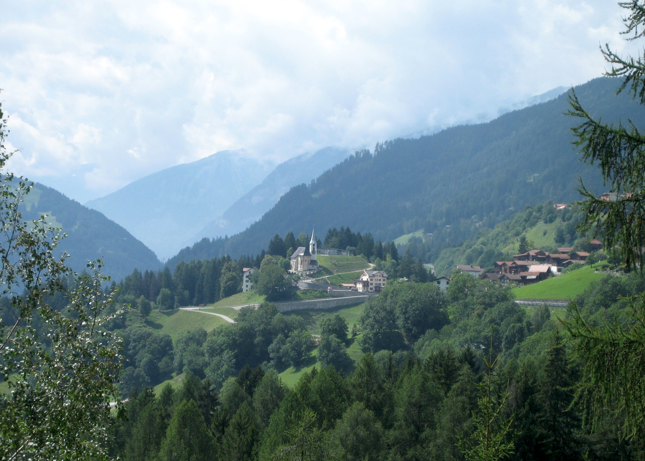
Langwies is a former municipality in the district of Plessur in the canton of Graubünden in Switzerland. On 1 January 2013 the former municipalities of Langwies, Calfreisen, Castiel, Lüen, Molinis, Peist and St. Peter-Pagig merged into the municipality of Arosa.Nomenklaturen – Amtliches Gemeindeverzeichnis der Schweiz accessed 9 February 2013 History Langwies is first mentioned in 1384 as ''die lang Wise''.Geography  Before the merger, Langwies had a total area of .
 [...More Info...] [...Related Items...] OR: [Wikipedia] [Google] [Baidu] |
Langwies (Rhaetian Railway Station)
Langwies GR railway station, often just Langweis railway station, is a railway station on the Chur–Arosa railway (the ''"Arosabahn"'') of the Rhaetian Railway (RhB). It is situated in Langwies, lower down the hillside from the centre of the village. A minor level crossing straddles the tracks at the station. Viaducts Two notable railway viaducts (or bridges) carry the line over deep valleys near to Langwies. Down the line (towards Chur) is the Gründjitobel Viaduct (or Gründjitobel Bridge; German: ''Gründjitobel-Viadukt'') which is 145 m long, and a short distance up the line is the Langwieser Viaduct (or Langwies Viaduct; German: ''Langwieser Viadukt''). The latter viaduct is listed as a Swiss heritage site of national significance. [...More Info...] [...Related Items...] OR: [Wikipedia] [Google] [Baidu] |
Arosa
, neighboring_municipalities= Alvaneu, Davos, Langwies, Lantsch/Lenz, Molinis, Peist, Schmitten, Tschiertschen, Vaz/Obervaz, Wiesen , twintowns = Fukumitsu (Japan) Arosa is a town and a municipality in the Plessur Region in the canton of Graubünden in Switzerland. It is both a summer and a winter tourist resort. On 1 January 2013, the former municipalities of Calfreisen, Castiel, Langwies, Lüen, Molinis, Peist and St. Peter-Pagig merged into the municipality of Arosa.Nomenklaturen – Amtliches Gemeindeverzeichnis der Schweiz accessed 9 February 2013 At the end of 2013 the Arosa ski resort was linked with Lenzerheide by cable-car, cr ... [...More Info...] [...Related Items...] OR: [Wikipedia] [Google] [Baidu] |
Plessur (district)
Plessur District (german: Bezirk Plessur, rm, ) is a former administrative district in the canton of Graubünden, Switzerland. It had an area of and has a population of 40,707 in 2015. The former district is named after the river Plessur which crosses it. However, the region along the Plessur –and therefore the whole valley–is called Schanfigg. It was replaced with the Plessur Region on 1 January 2017 as part of a reorganization of the Canton. accessed 16 February 2017 Plessur District consisted of three '' [...More Info...] [...Related Items...] OR: [Wikipedia] [Google] [Baidu] |
Peist
Peist is a former municipality in the district of Plessur in the canton of Graubünden in Switzerland. On 1 January 2013 the former municipalities of Peist, Calfreisen, Castiel, Langwies, Lüen, Molinis and St. Peter-Pagig merged into the municipality of Arosa.Nomenklaturen – Amtliches Gemeindeverzeichnis der Schweiz accessed 9 February 2013 History Peist is first mentioned in 1084 as ''de Paiste''.Geography  Before the merger, Peist had a total area of . Of this area, 57% ...
[...More Info...] [...Related Items...] OR: [Wikipedia] [Google] [Baidu] |
RhB07
The Rhaetian Railway (german: Rhätische Bahn; it, Ferrovia retica; rm, Viafier retica), abbreviated RhB, is a Swiss transport company that owns the largest network of all private railway operators in Switzerland. Headquartered in Chur, the RhB operates all the railway lines of the Swiss canton of Grisons, except for the line from Sargans to the cantonal capital, Chur, which are operated by Swiss Federal Railways (SBB CFF FFS), as well as the line from Disentis/Mustér to the Oberalp Pass and further on to Andermatt, Uri, which is operated by Matterhorn Gotthard Bahn (MGB). Inaugurated in 1888 and expanded from 1896 onwards in various sections, the RhB network is located almost entirely within Grisons, with one station across the Italian border at Tirano. The Rhaetian Railway serves a number of major tourist destinations, such as St. Moritz and Davos. One of the RhB lines, the Bernina Railway, crosses the Bernina Pass at above sea level and runs down to Tira ... [...More Info...] [...Related Items...] OR: [Wikipedia] [Google] [Baidu] |
Litzirüti
Litzirüti is a small village near Langwies, in the municipality of Arosa, canton of Graubünden, Switzerland. The village effectively forms part of the Arosa (summer & winter) resort. The elevation is roughly 1,452 metres (4,764 ft). There is a railway station at Litzirüti, on the Chur-Arosa railway line: Litzirüti. The postal code A postal code (also known locally in various English-speaking countries throughout the world as a postcode, post code, PIN or ZIP Code) is a series of letters or digits or both, sometimes including spaces or punctuation, included in a postal ... is 7058. External links Area website Holiday house website Arosa Villages in Graubünden {{Graubünden-geo-stub ... [...More Info...] [...Related Items...] OR: [Wikipedia] [Google] [Baidu] |
Molinis
Molinis is a former municipality in the district of Plessur in the canton of Graubünden in Switzerland. On 1 January 2013 the former municipalities of Molinis, Calfreisen, Castiel, Langwies, Lüen, Peist and St. Peter-Pagig merged into the municipality of Arosa.Nomenklaturen – Amtliches Gemeindeverzeichnis der Schweiz accessed 9 February 2013 History Molinis is first mentioned in 1335 as ''Mulina''. Formerly, in Romansh, it was known as ''Molinas''.Geography Before the merger, Molinis had a total area of . Of this area, 26.7% is used for agricultural purposes, whil ...[...More Info...] [...Related Items...] OR: [Wikipedia] [Google] [Baidu] |
Lüen
Lüen is a former municipality in the district of Plessur in the canton of Graubünden in Switzerland. On 1 January 2013 the former municipalities of Lüen, Calfreisen, Castiel, Langwies, Molinis, Peist and St. Peter-Pagig merged into the municipality of Arosa.Nomenklaturen – Amtliches Gemeindeverzeichnis der Schweiz accessed 9 February 2013 History Lüen is first mentioned in 1084 as ''Leune''.Geography Before the merger, Lüen had a total area of . Of this area, 37% is used for agricultural purposes, while 52.3% is forested. Of the rest of the land, 1.4% is settled (buildings or roads) and the remainder (9.2%) is non-productive (rivers, glaciers or mount ...[...More Info...] [...Related Items...] OR: [Wikipedia] [Google] [Baidu] |
Castiel, Switzerland
Castiel () is a former municipality in the district of Plessur in the canton of Graubünden in Switzerland. On 1 January 2013 the former municipalities of Castiel, Calfreisen, Langwies, Lüen, Molinis, Peist and St. Peter-Pagig merged into the municipality of Arosa.Nomenklaturen – Amtliches Gemeindeverzeichnis der Schweiz accessed 9 February 2013 History Castiel is first mentioned in 1132 as ''Castellum''.Geography  Before the merger, Castiel had a total area of . Of this area, 43.1% i ...
[...More Info...] [...Related Items...] OR: [Wikipedia] [Google] [Baidu] |
Calfreisen
Calfreisen ( rm, ) is a former municipality in the district of Plessur in the canton of Graubünden in Switzerland. On 1 January 2013 the former municipalities of Calfreisen, Castiel, Langwies, Lüen, Molinis, Peist and St. Peter-Pagig merged into the municipality of Arosa.Nomenklaturen – Amtliches Gemeindeverzeichnis der Schweiz accessed 9 February 2013 History Calfreisen is first mentioned in 1156 as ''Caureisene''.Geography Before the merger, Calfreisen had a total area of . Of this area, 49.5% is used for agricultural purposes, while 30% is forested. Of the rest of the land, 1.7% is settled (buildings or roads) and the remainder (18.8%) is non-product ...[...More Info...] [...Related Items...] OR: [Wikipedia] [Google] [Baidu] |
Fideris
Fideris ''( Romansh: Fadrein)'' is a Swiss village in the Prättigau and a municipality in the political district Prättigau/Davos Region in the canton of Graubünden. History Fideris is first mentioned in 1370 as ''Fidris''. Geography Fideris has an area, (as of the 2004/09 survey) of . Of this area, about 58.7% is used for agricultural purposes, while 28.8% is forested. Of the rest of the land, 3.1% is settled (buildings or roads) and 9.4% is unproductive land. In the 2004/09 survey a total of or about 1.3% of the total area was covered with buildings. Of the agricultural land, is fields and grasslands and consists of alpine grazing areas. Since 1985 the amount of agricultural land has decreased by . Over the same time period the amount of forested land has increased by . Rivers and lakes cover in the municipality. [...More Info...] [...Related Items...] OR: [Wikipedia] [Google] [Baidu] |

