|
Lake Palestine (Texas)
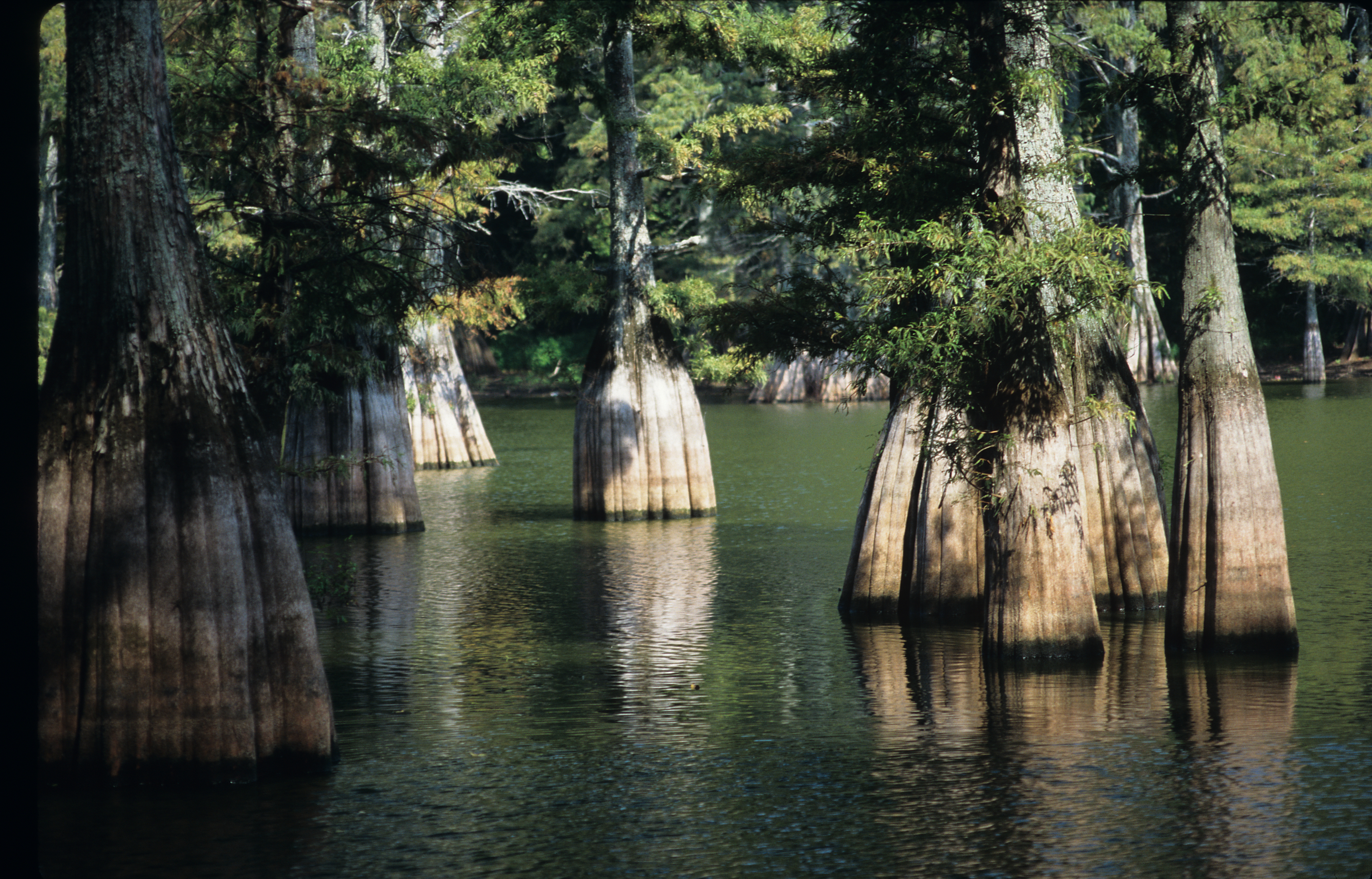
Lake Palestine is a freshwater reservoir in northeast Texas, created for industrial, municipal, and recreational purposes. Description The reservoir was formed by the construction of the 5720-foot-long Blackburn Crossing Dam on the Neches River. The project was started in 1960 and completed on June 13, 1962. The resulting lake is 18 miles long, stretching northwest to southeast, with 135 miles of shoreline. The widest part of the lake is 4 miles across. The lake is primarily fed by waters from the Neches River and Kickapoo Creek. The lake is located in parts of four counties: Anderson County, Texas, Anderson, Cherokee County, Texas, Cherokee, Henderson County, Texas, Henderson, and Smith County, Texas, Smith. According to the Texas Water Development Board 2012 Survey, the storage capacity of Lake Palestine is 367,312 acre-feet with a surface area of 23,112 acres at the conservation pool elevation of 345 feet above mean sea level. The drainage area above the dam is approx ... [...More Info...] [...Related Items...] OR: [Wikipedia] [Google] [Baidu] |
Neches River
The Neches River () begins in Van Zandt County west of Rhine Lake and flows for through the piney woods of east Texas, defining the boundaries of 14 counties on its way to its mouth on Sabine Lake near the Rainbow Bridge. Two major reservoirs, Lake Palestine and B. A. Steinhagen Reservoir are located on the Neches. The Angelina River (containing Sam Rayburn Reservoir) is a major tributary with its confluence at the north of Lake B. A. Steinhagen. Tributaries to the south include Village Creek and Pine Island Bayou, draining much of the Big Thicket region, both joining the Neches a few miles north of Beaumont. Towns and cities located along the river including Tyler, Lufkin, and Silsbee, although significant portions of the Neches River are undeveloped and flow through protected natural lands.Phillips, Bob, (foreword). 2008. The Roads of Texas. MAPSCO Inc. Addison, Texas. 176 pp. In contrast, the lower 40 miles of the river are a major shipping channel, highly indust ... [...More Info...] [...Related Items...] OR: [Wikipedia] [Google] [Baidu] |

